Pine Nuts P-16 Trail
Total Miles
6.1
Technical Rating
Best Time
Spring, Summer, Fall
Trail Type
Full-Width Road
Accessible By
Trail Overview
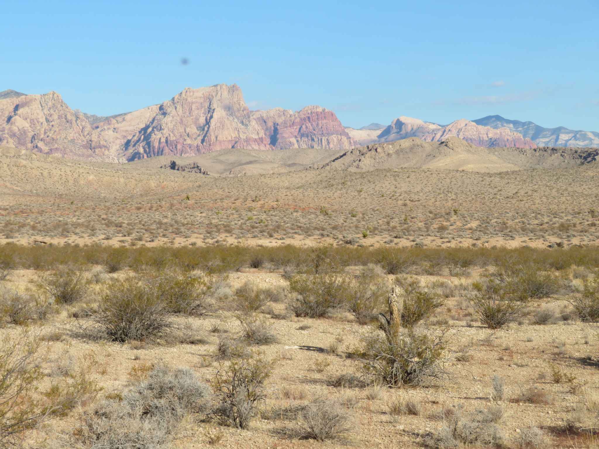
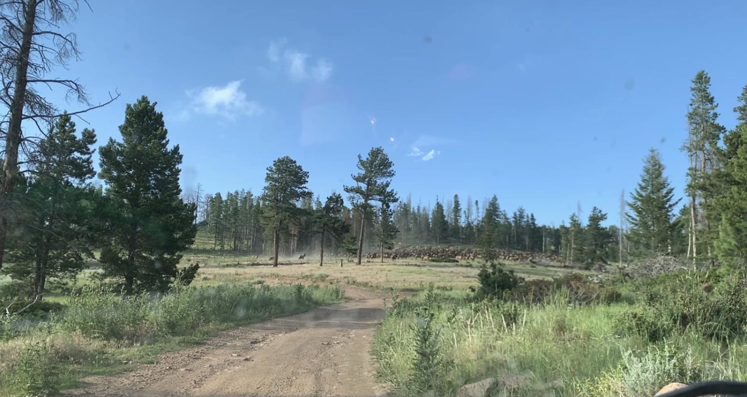
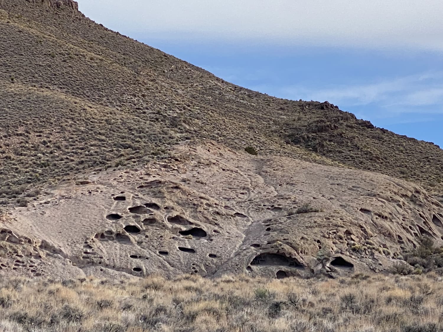
Traveling East from the Carson Valley, P-16 Trail will take you into the heart of the Pine Nut Mountains. It is a one-lane winding mountain trail that gains altitude as you go East. The trail is lined with Juniper trees and Pinion Pines, with some open areas, and offers grand views of the Sierra Front and the Pine Nut Mountain Range. Like all trails in the Pine Nuts, there are many lesser trails running from both sides of P-16 Trail, just waiting to be explored. At the East end, P-16 Trail intersects with Pine Nut Valley Road (P-14 Trail). There, you can turn North for a pleasing ride through the Pine Nut Valley, ending at Sunrise Pass. Or you can head South for a more challenging trek to Red Canyon, passing Mount Siegal and Oreana Peak on the way, ending in Wellington, Nevada. The West end of P-16 Trail is at P-10 Trail, close to civilization in Gardnerville, Nevada. You might ask, why all these "P" designations. The BLM has named these trails and has marked them with signs. Please refer to the pictures.
Photos of Pine Nuts P-16 Trail


Difficulty
This is a well-used trail, so watch for oncoming traffic. It features ruts, some off camber, and trenches. A few sections with a very fine, gray, powdery dust. The guy behind you will hate you.
Pine Nuts P-16 Trail can be accessed by the following ride types:
- High-Clearance 4x4
- SUV
- SxS (60")
- ATV (50")
- Dirt Bike
Pine Nuts P-16 Trail Map
Popular Trails
Valley View Trail

Boulder City Conservation Easement
Adams McGill Reservoir Scenic Loop Part 3
The onX Offroad Difference
onX Offroad combines trail photos, descriptions, difficulty ratings, width restrictions, seasonality, and more in a user-friendly interface. Available on all devices, with offline access and full compatibility with CarPlay and Android Auto. Discover what you’re missing today!