BLM LAP Highway 178 South
Total Miles
3.8
Technical Rating
Best Time
Fall, Summer, Spring
Trail Type
Full-Width Road
Accessible By
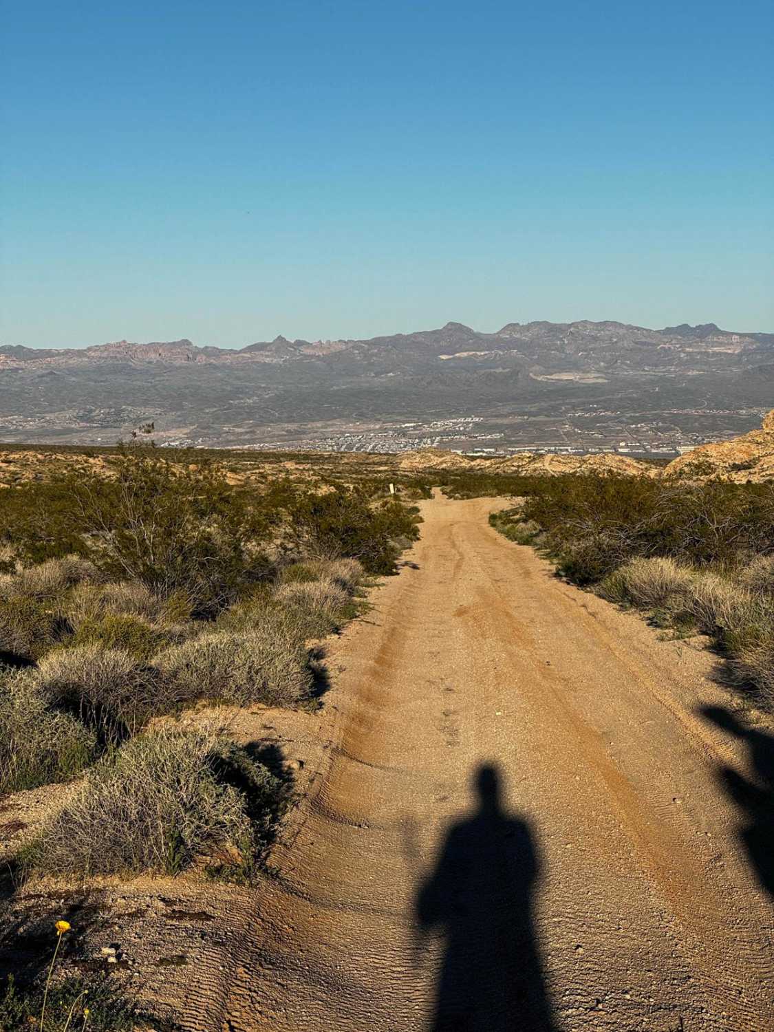
Trail Overview
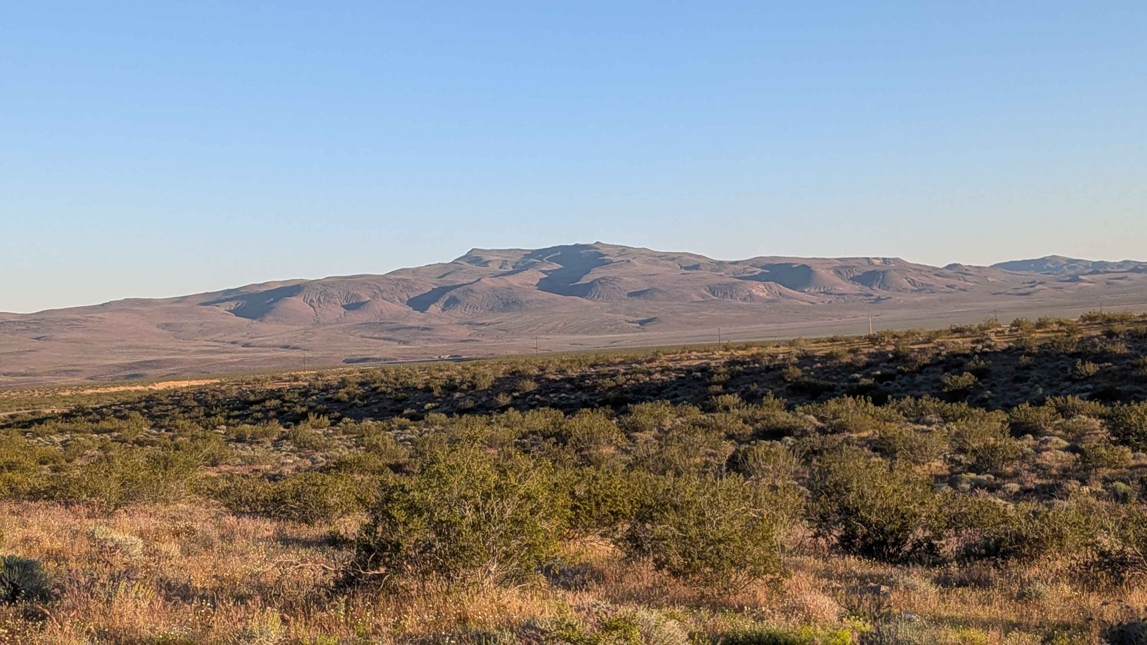
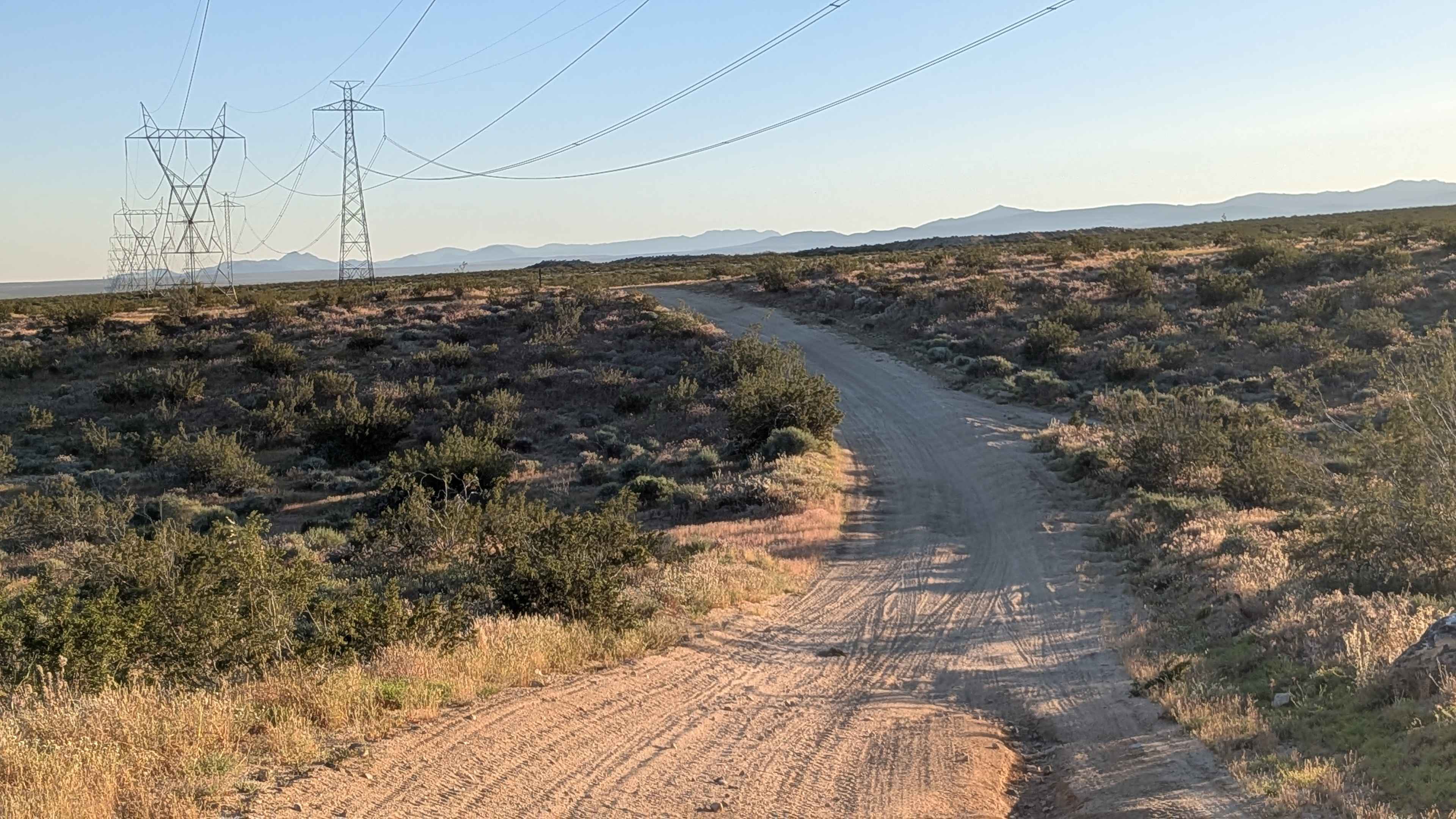
Part of Jawbone-Butterbredt BLM, this route follows large power lines for reliable navigation reference while running parallel to Highway 14. Lots of washboards create constant jarring throughout the journey. Various sections feature ruts ranging from 12 to 18 inches deep, creating serious vertical obstacles at multiple points along the route. The power line corridor provides both navigation aid and infrastructure context for this utility access route. A good trail to run parallel to Highway 14 without getting on the pavement.
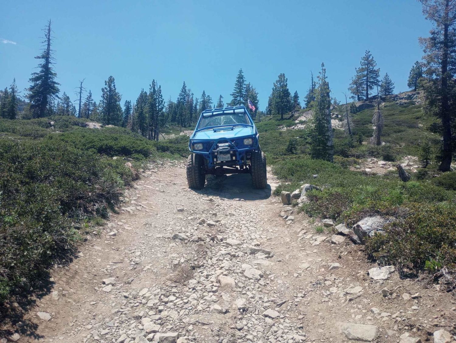
Photos of BLM LAP Highway 178 South
Difficulty
Part of Jawbone-Butterbredt BLM, this route follows large power lines for reliable navigation reference while running parallel to Highway 14. Lots of washboards create constant jarring throughout the journey. Various sections feature ruts ranging from 12 to 18 inches deep, creating serious vertical obstacles at multiple points along the route. The power line corridor provides both navigation aid and infrastructure context for this utility access route.
Status Reports
BLM LAP Highway 178 South can be accessed by the following ride types:
- High-Clearance 4x4
- SUV
- SxS (60")
- ATV (50")
- Dirt Bike
BLM LAP Highway 178 South Map
Popular Trails
Jack Ranch - FS 24S05
Balancing Boulder Camp to Needles Highway
Tamarack Lakes 12E33
The onX Offroad Difference
onX Offroad combines trail photos, descriptions, difficulty ratings, width restrictions, seasonality, and more in a user-friendly interface. Available on all devices, with offline access and full compatibility with CarPlay and Android Auto. Discover what you’re missing today!