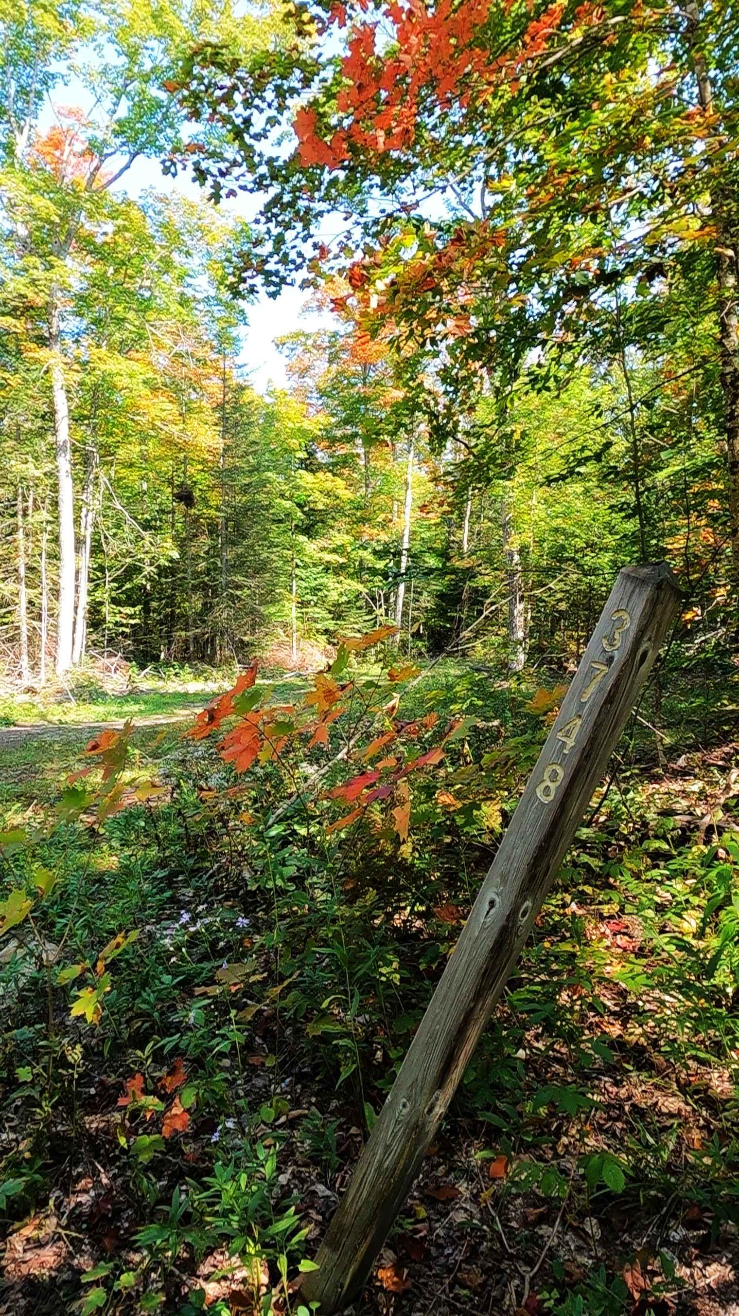
East Loop - FS 3748
Total Miles
2.0
Technical Rating
Best Time
Spring, Summer, Fall
Trail Type
Full-Width Road
Accessible By
Trail Overview
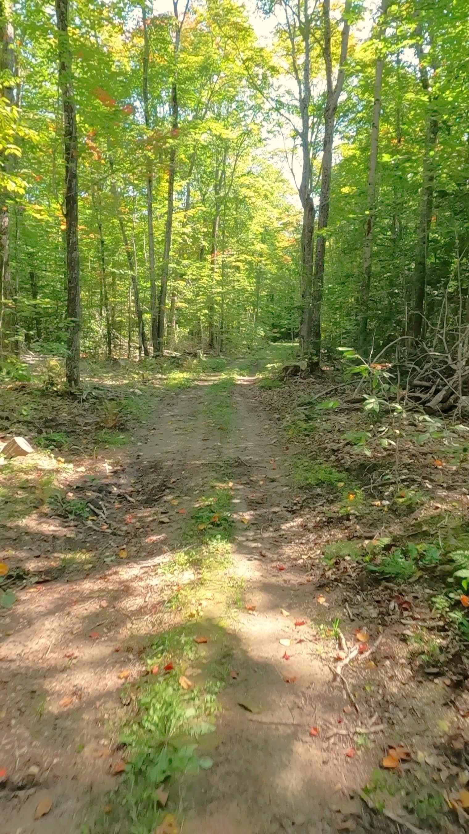
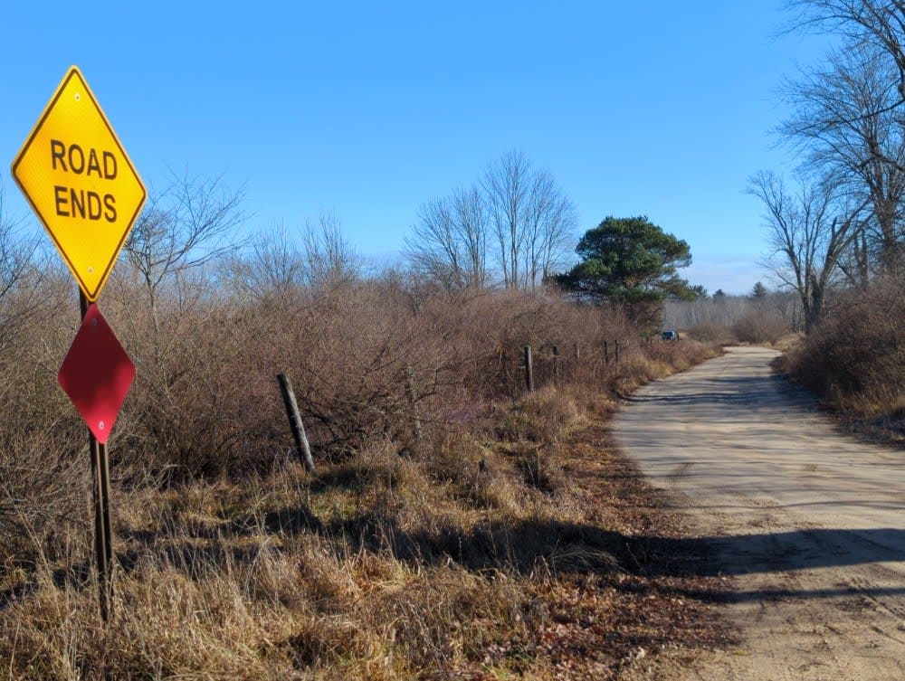
Federal Forest Service Road (FS) 3748, also known as East Loop, is a federally owned/ locally maintained, Level-2/ Level-3 forest road with a surface composition of dirt, sand, gravel, and native material. This route is currently open and in fair condition; it is not a DNR road (ORV use is subject to local government regulations). It is a timber loop off of FS 3123 - Quarry Road that ventures into the North Branch Carp River marshland. Description created on September 17, 2025.
Photos of East Loop - FS 3748
Difficulty
Dirt, gravel, sand, grass, and a rooted path, typically unmaintained after rain or snow, that may give rise to shallow water crossings and obstacles under 12 inches on the trail, including small ledges. This route is a narrow "Two-Track" that is one vehicle in width.
History
East Loop traverses along the west bank of the North Branch Carp River. A storied waterway managed for brook trout since 1948. Flowing through the Hiawatha National Forest, it features unique Niagara escarpment geology and has historically supported trout, salmon, and, previously, logging-era activities.
Status Reports
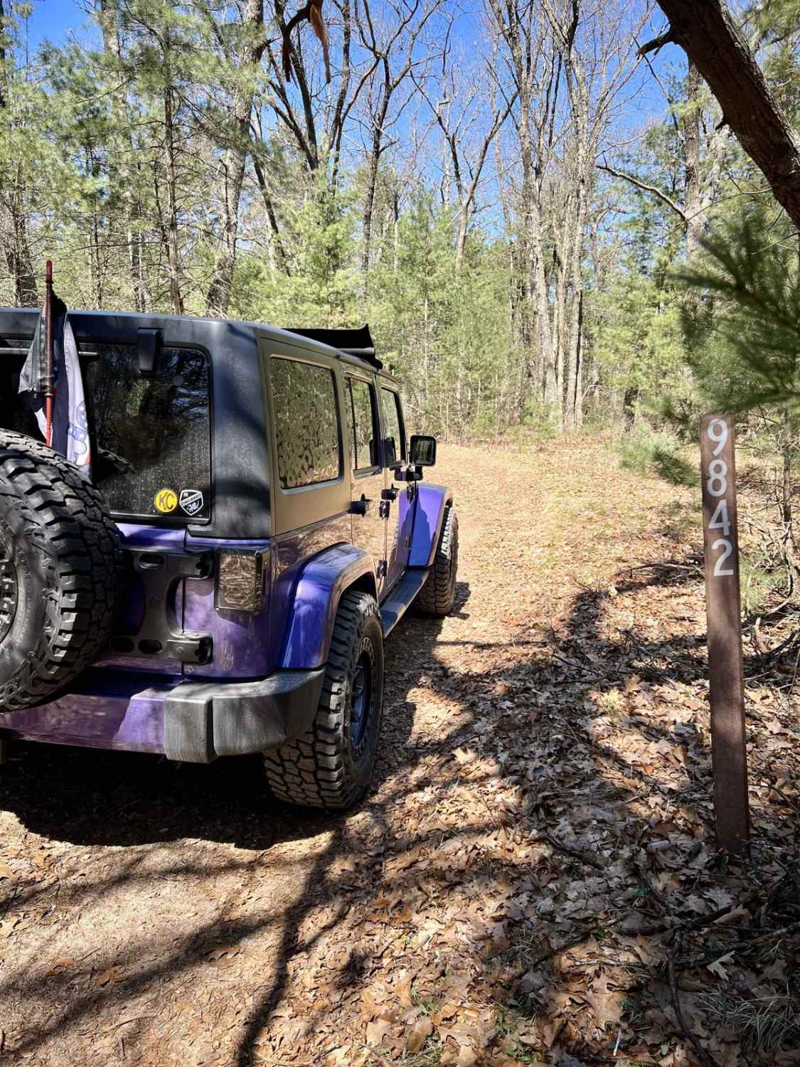
East Loop - FS 3748 can be accessed by the following ride types:
- High-Clearance 4x4
- SUV
- SxS (60")
- ATV (50")
- Dirt Bike
East Loop - FS 3748 Map
Popular Trails

Brush - FS4479
Mosquito Creek
The onX Offroad Difference
onX Offroad combines trail photos, descriptions, difficulty ratings, width restrictions, seasonality, and more in a user-friendly interface. Available on all devices, with offline access and full compatibility with CarPlay and Android Auto. Discover what you’re missing today!