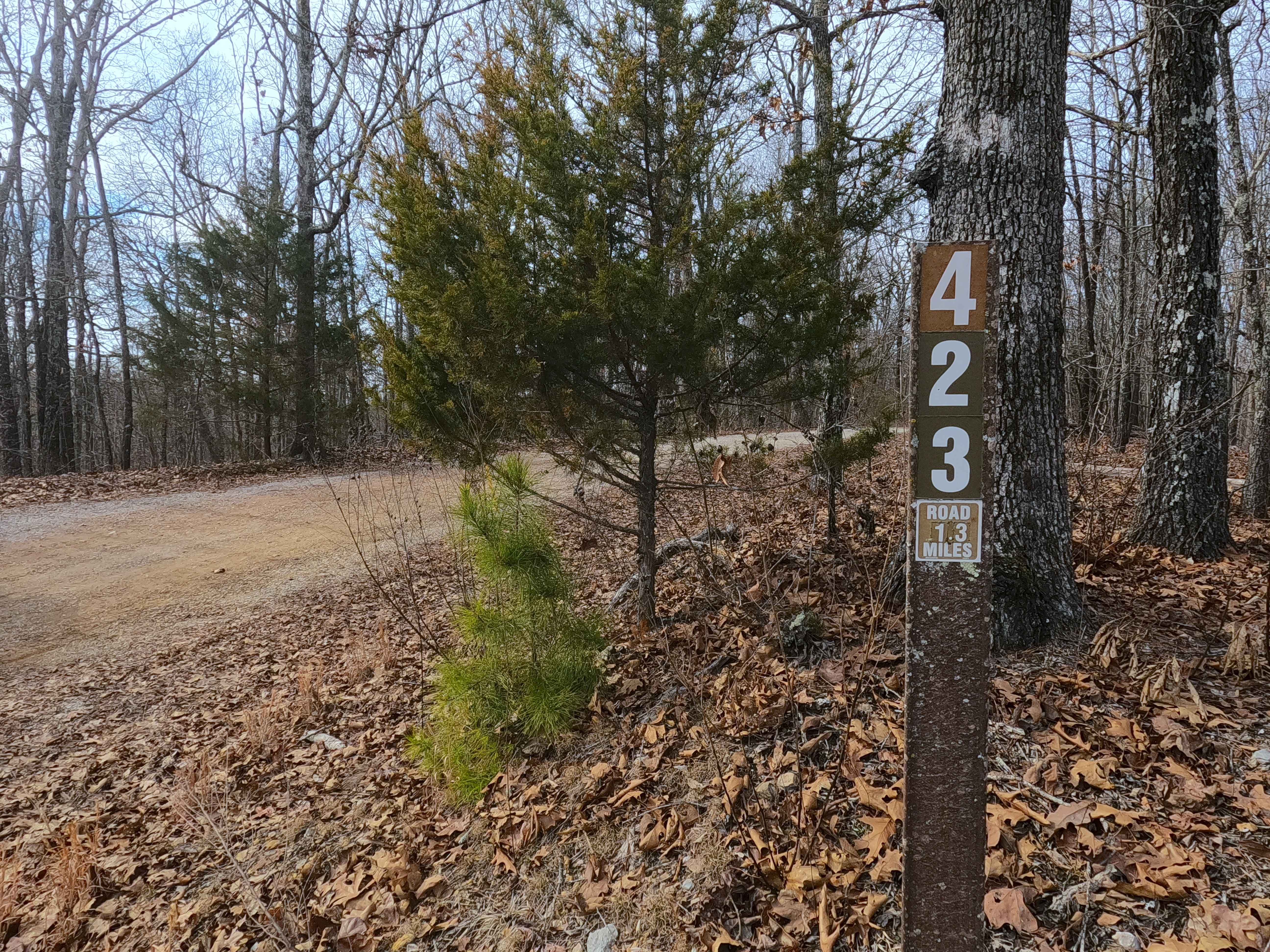
Perkins Ridge - FS 423
Total Miles
1.3
Technical Rating
Best Time
Spring, Summer, Fall, Winter
Trail Type
Full-Width Road
Accessible By
Trail Overview
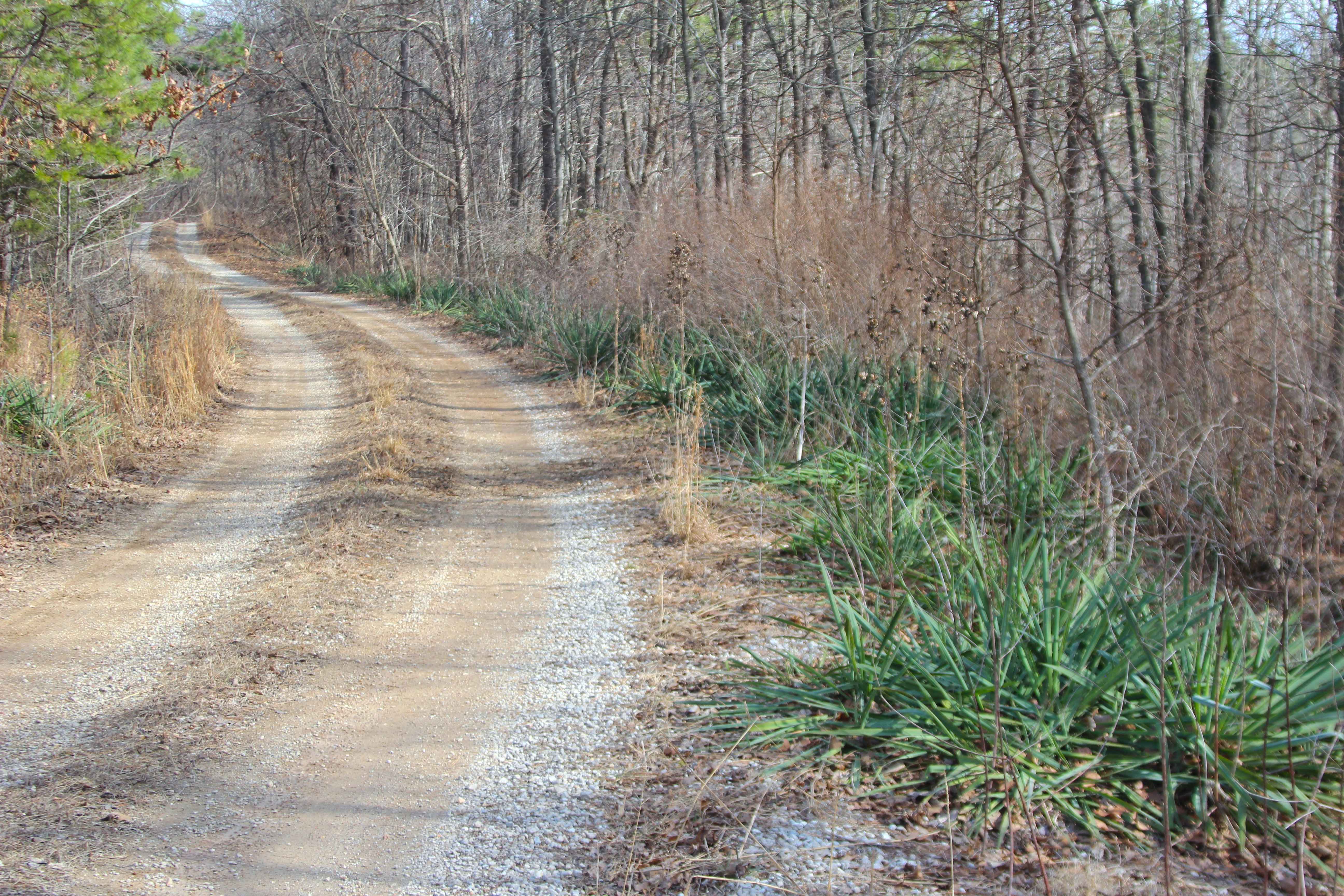
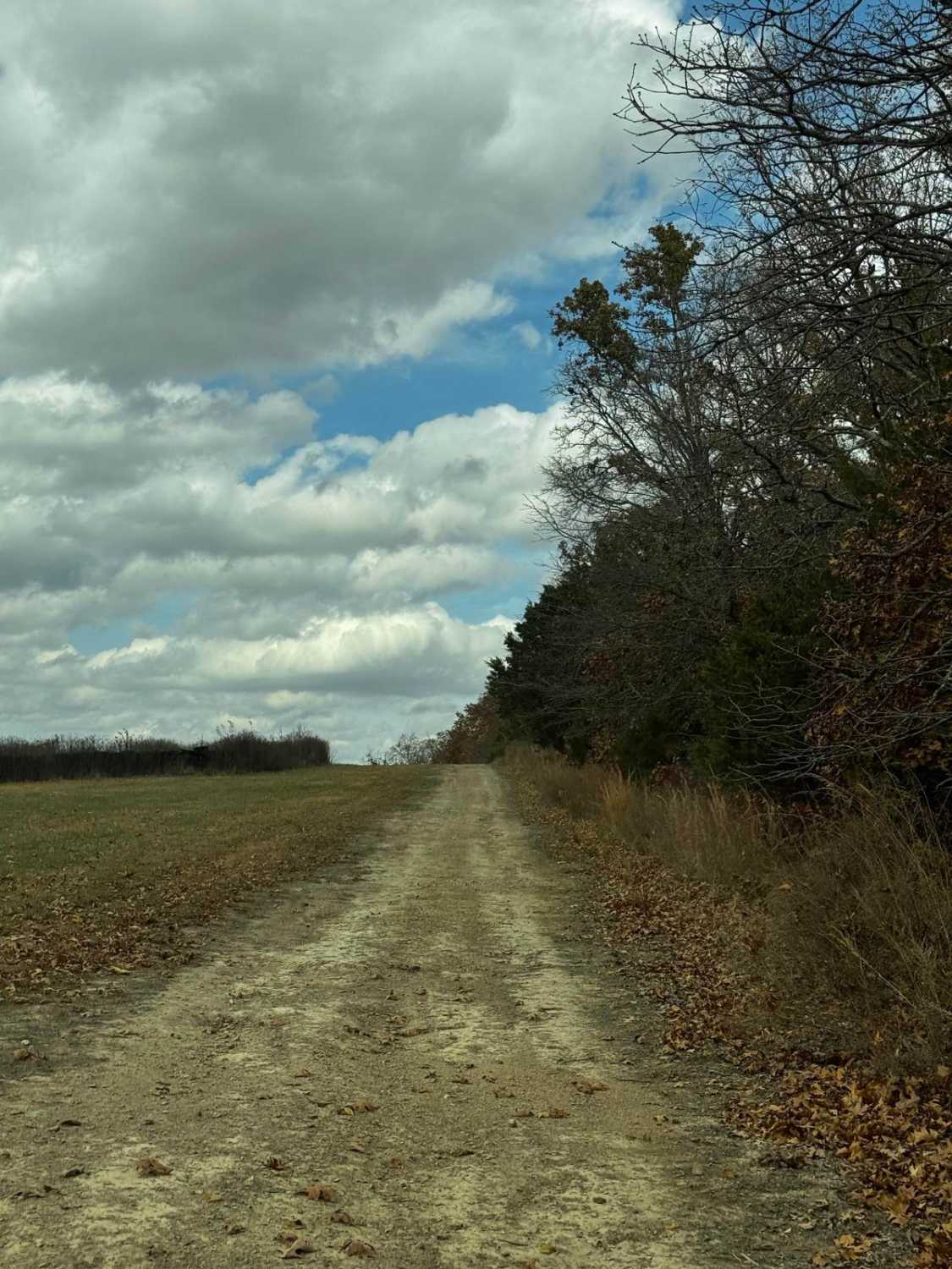
Perkins Ridge (FS 423) is a semi-maintained gravel forest service road within the Willow Springs Unit of Mark Twain National Forest. The Perkins Ridge begins at Missouri Route AM, heading west along the raised ridge top spines, first dropping downhill as it overlooks deep valleys on both sides of the road, crossing a small water collection hole, and passing the roadside feature of a medium-sized patch of Yuccas, before climbing the next ridge spines, to meet the fork with the FS 423A, which goes north, while this road turns south, going down the final spine to the turnaround and MVUM endpoint located right at the power line tract, which has great view pointed north towards the end of the FS 423A, and south towards Route AM.
Photos of Perkins Ridge - FS 423
Difficulty
Perkins Ridge is given a base rating of 2/10 for having a small water collection spot, having an average depth of 6" along the center portion of the track, and there are also mild forms of erosion along the mildly graded hills, with some spots having the gravel fading completely to dirt, creating potential surface mud. It is safe to expect the typical gravel-road complications of potholes, washboards, and mounding of the gravel. Difficulty could increase during heavy use, wet conditions, or severe lack of maintenance.
Status Reports
Perkins Ridge - FS 423 can be accessed by the following ride types:
- High-Clearance 4x4
- SUV
- SxS (60")
- ATV (50")
- Dirt Bike
Perkins Ridge - FS 423 Map
Popular Trails

Black Widow 389

Top of Cave 31

Trace Creek - FS 2673
The onX Offroad Difference
onX Offroad combines trail photos, descriptions, difficulty ratings, width restrictions, seasonality, and more in a user-friendly interface. Available on all devices, with offline access and full compatibility with CarPlay and Android Auto. Discover what you’re missing today!