
Dirt Bike Trails
Near Mi-Wuk Village, California
Explore All Dirt Bike Trails Near Mi-Wuk Village, California
Dirt Bike Trails Near Mi-Wuk Village, California
Discover the best dirt bike trails near you. Browse trail maps, check difficulty ratings, and find your next adventure — whether you're looking for a quick ride or an all-day expedition.
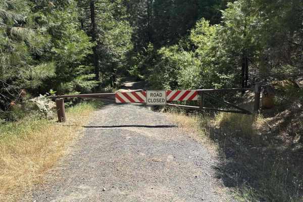
FS 3N90
Forest Service 3N90 winds deep into the timbered backcountry of the Stanislaus National Forest, serving as a scenic out-and-back spur through active forest management country. The track rolls beneath a towering canopy of ponderosa pines, incense cedars, and firs, flanked by thick green underbrush on...
Learn more about FS 3N90
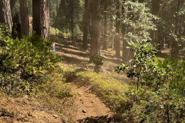
16EV109
The southern end of this trail is marked with a trail sign at the entrance, but it immediately goes through a forested area that has been logged, so the hillside is mostly full of mulch and debris, which makes the trail difficult to follow. The hillside is extremely loose, silty, and hard to maintai...
Learn more about 16EV109
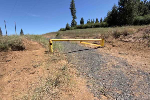
FS 3N69
Forest Service Road 3N69 begins directly off Highway 108, passing through an open, lockable gate along the boundary between Sierra Pacific Industries land and the Stanislaus National Forest. This route serves as a key woodland connector, offering dependable throughput deeper into the forest and link...
Learn more about FS 3N69
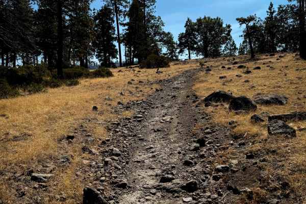
16EV236
This trail starts on FS 3N35, climbing up onto a hill of tall pine trees on a narrow path that is a mix of loose rock and soft dirt. There are lots of small, loose, volcanic-looking rocks as it goes through grassy and dry hillsides. It winds through the sparse forest, with very gradual curves and sm...
Learn more about 16EV236
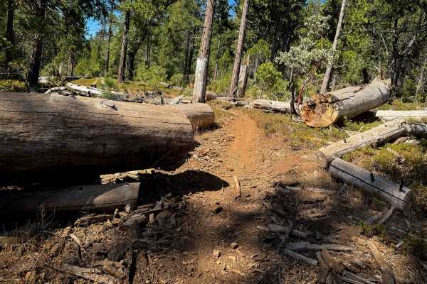
16EV407
This trail starts right near the Deer Creek staging area, behind a gate that gets closed for seasonal use. It starts off pretty easy, being a decently wide single track, weaving between tons of cut logs, with lots of loose rock. The grade is pretty gradual as it parallels a ravine and winds through ...
Learn more about 16EV407
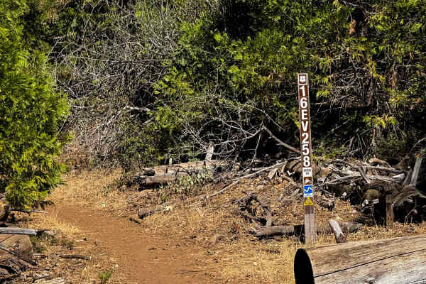
16EV258
This short trail goes into a thick forested corridor as it departs from trail 16EV407. The trail is covered in a lot of bony and sharp loose rocks, climbing up a dry and sun-exposed hillside, over all the loose rock, making it hard to maintain traction and not get pinged around. It goes through a re...
Learn more about 16EV258
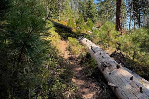
16EV302
This trail departs from the end of 16EV109 and continues north through the forest on a narrow singletrack, tightly curving through the scrub oak and pine trees. It hugs the hillside as it follows the curvature of the mountain, with a lot of previously cut logs, and a few small downed logs that you h...
Learn more about 16EV302
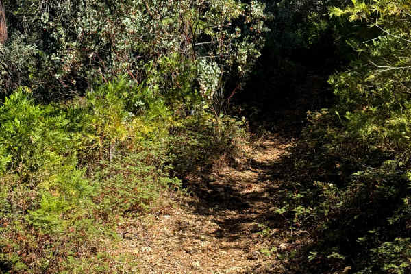
16EV254
The west end of this 0.7-mile-long trail starts at an intersection with 16EV258 and winds through the scrub oak and tall oak trees. It’s pretty tight in sections between the trees, but the trail stays relatively easy, without much rock. There are lots of cut logs and stumps hiding within the bushes ...
Learn more about 16EV254
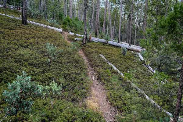
16EV243
This is a short dirt bike only trail that connects the ATV trail 16EV223 with the singletrack 16EV407, near the Deer Creek Staging Area. Taking this trail cuts off having to go back to Italian Bar Road and reenter the trail system. It’s a pretty gradual grade throughout the quarter mile, as it climb...
Learn more about 16EV243
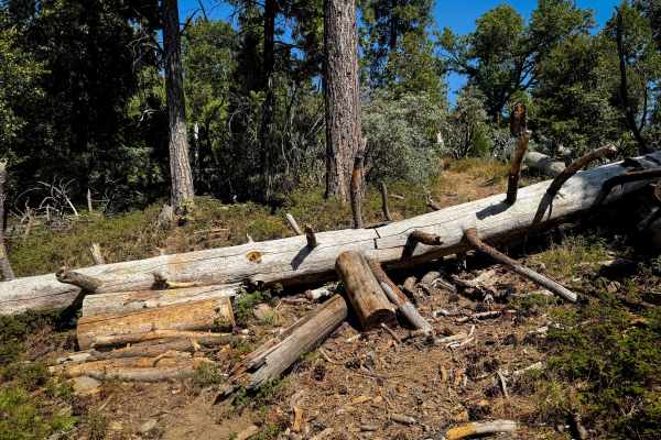
16EV248
This trail climbs up from 16EV54 and connects north to FS 3N63. As of September 2025, there were tons of large logs down that hadn’t been cleared, which will have to be ridden over or cut. Some are skinnier logs elevated above the trail, making it even more difficult to jump or lift over. Some will ...
Learn more about 16EV248
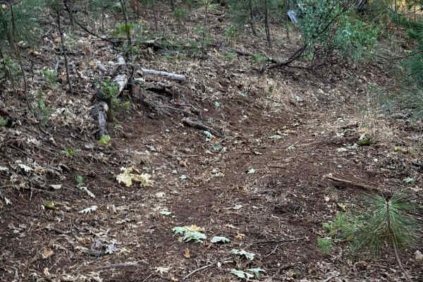
16EV251
This is a short spur off of 16EV223. It winds through the forest, and has a couple of downed logs on the trail. It probably doesn’t get ridden as much since it’s just a short spur very close to the Deer Creek Staging Area. The trail is closely lined with lots of small young pines. Some of the downed...
Learn more about 16EV251
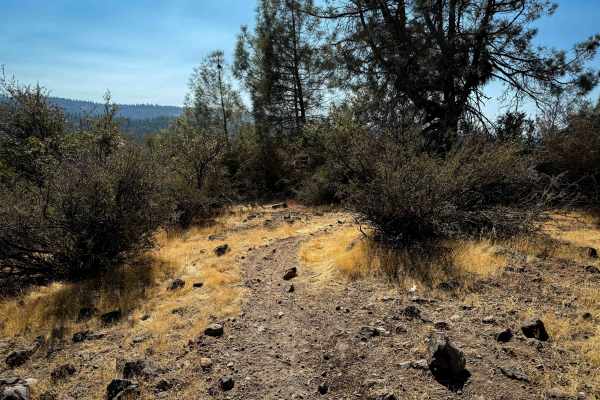
16EV253
Starting from the intersection with 16EV254, this trail is marked as "Most Difficult". It winds through the scrub oak on a dry hillside, weaving tightly between lots of scraggly branches that grab you and sometimes block visibility. There is a moderate rock obstacle between the oak brush that is a s...
Learn more about 16EV253
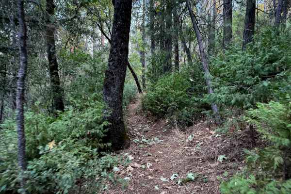
16EV249
This is a quarter-mile-long spur that starts and ends off of the ATV trail 16EV223. The north end starts out in a dry grassy hilltop, then it descends through a forest of tall pines, manzanitas, and shrubs. The trail was clear of any logs. It’s a very easy trail as it was essentially rock free, down...
Learn more about 16EV249
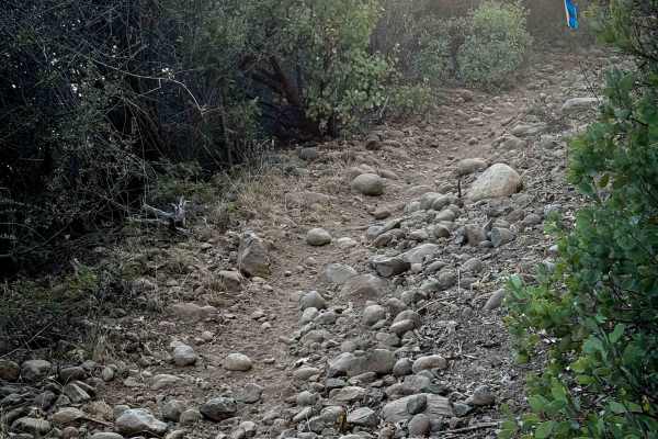
16EV223
This is the only ATV trail near the Deer Creek Staging Area, and is probably mostly used by dirt bikes to access the trail system. It’s a short trail, only 1.4 miles long, and it mostly climbs up from Italian Bar Road to FS 4N16 on a semi-steep path with sections of loose rock. It’s pretty narrow be...
Learn more about 16EV223
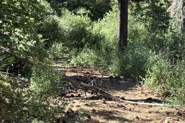
FS 3N34A
Forest Service Road 3N34A serves as a rugged, unmaintained connector linking Forest Road 3N34 and Forest Road 3N69 across Sierra Pacific Industries land adjacent to the Stanislaus National Forest. The single-lane track cuts through a dense mixed-conifer forest before emerging into sunnier, brush-hea...
Learn more about FS 3N34A

16EV101
The north end of this 1.9-mile-long trail starts out climbing up from the Forest Service road, up a steeper slope with loose rock, narrowing up between lots of scrub oak and manzanitas. There are several downed logs sticking into the trail that you have to skirt around. It curves gently through the ...
Learn more about 16EV101
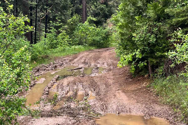
North Fork Crossing
This trail starts off as forest roads meandering down the canyon. As you get near the bottom and second half the trail ruts get deeper and the trail gets slightly overgrown. At the bottom is a large campsite on the river with fishing and endless nearby roads to explore. Be ready for over gown bushes...
Learn more about North Fork Crossing
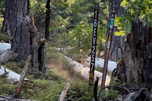
16EV257
The east end of this trail starts on the forest road 3N63, and it goes west for 1.5 miles, meandering through gradual hills and descents in a pine forest. There are a lot of downed logs that have been cut and are now lining the trail, so you want to watch your pegs on all the downed trees. It winds ...
Learn more about 16EV257
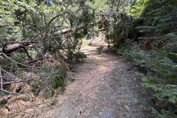
FS 3N30
Branching off Forest Service Road 3N69, FS 3N30 serves as a continuous backcountry connector traversing Stanislaus National Forest and Sierra Pacific Industries timberland before joining FS 3N39. The trail commences as an easy-rolling double-track before branching left into a single-lane packed dirt...
Learn more about FS 3N30
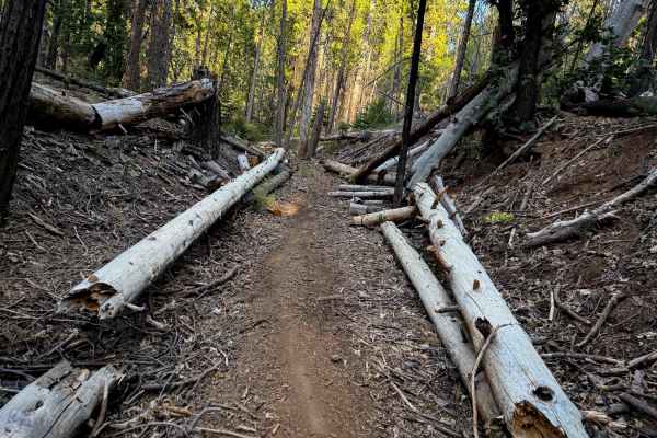
16EV272
This is a short and easy trail that is easily accessible near the Deer Creek Staging Area, making it a good option for beginner riders not too far from the staging. It’s only .6 miles long, connecting two forest roads. The west end starts on a shelfy hillside elevated above the forest road, winding ...
Learn more about 16EV272
ATV trails near Mi-Wuk Village, California
Explore ATV-friendly trails near you. These trails are accessible for vehicles up to 50 inches wide, perfect for ATVs and smaller off-road machines.
FS 3N90
Forest Service 3N90 winds deep into the timbered backcountry of the Stanislaus National Forest, serving as a scenic out-and-back spur through active forest management country. The track rolls beneath a towering canopy of ponderosa pines, incense cedars, and firs, flanked by thick green underbrush on...
Learn more about FS 3N90
FS 3N69
Forest Service Road 3N69 begins directly off Highway 108, passing through an open, lockable gate along the boundary between Sierra Pacific Industries land and the Stanislaus National Forest. This route serves as a key woodland connector, offering dependable throughput deeper into the forest and link...
Learn more about FS 3N69
16EV223
This is the only ATV trail near the Deer Creek Staging Area, and is probably mostly used by dirt bikes to access the trail system. It’s a short trail, only 1.4 miles long, and it mostly climbs up from Italian Bar Road to FS 4N16 on a semi-steep path with sections of loose rock. It’s pretty narrow be...
Learn more about 16EV223
FS 3N34A
Forest Service Road 3N34A serves as a rugged, unmaintained connector linking Forest Road 3N34 and Forest Road 3N69 across Sierra Pacific Industries land adjacent to the Stanislaus National Forest. The single-lane track cuts through a dense mixed-conifer forest before emerging into sunnier, brush-hea...
Learn more about FS 3N34A
UTV/side-by-side trails near Mi-Wuk Village, California
Find UTV and side-by-side trails near you. These trails accommodate vehicles up to 60 inches wide, ideal for UTVs, side-by-sides, and wider off-road rigs.
FS 3N90
Forest Service 3N90 winds deep into the timbered backcountry of the Stanislaus National Forest, serving as a scenic out-and-back spur through active forest management country. The track rolls beneath a towering canopy of ponderosa pines, incense cedars, and firs, flanked by thick green underbrush on...
Learn more about FS 3N90
FS 3N69
Forest Service Road 3N69 begins directly off Highway 108, passing through an open, lockable gate along the boundary between Sierra Pacific Industries land and the Stanislaus National Forest. This route serves as a key woodland connector, offering dependable throughput deeper into the forest and link...
Learn more about FS 3N69
FS 3N34A
Forest Service Road 3N34A serves as a rugged, unmaintained connector linking Forest Road 3N34 and Forest Road 3N69 across Sierra Pacific Industries land adjacent to the Stanislaus National Forest. The single-lane track cuts through a dense mixed-conifer forest before emerging into sunnier, brush-hea...
Learn more about FS 3N34A
North Fork Crossing
This trail starts off as forest roads meandering down the canyon. As you get near the bottom and second half the trail ruts get deeper and the trail gets slightly overgrown. At the bottom is a large campsite on the river with fishing and endless nearby roads to explore. Be ready for over gown bushes...
Learn more about North Fork Crossing
The onX Offroad Difference
onX Offroad combines trail photos, descriptions, difficulty ratings, width restrictions, seasonality, and more in a user-friendly interface. Available on all devices, with offline access and full compatibility with CarPlay and Android Auto. Discover what you're missing today!
Open Trail Map