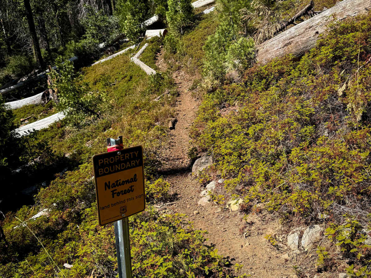
Trail Overview
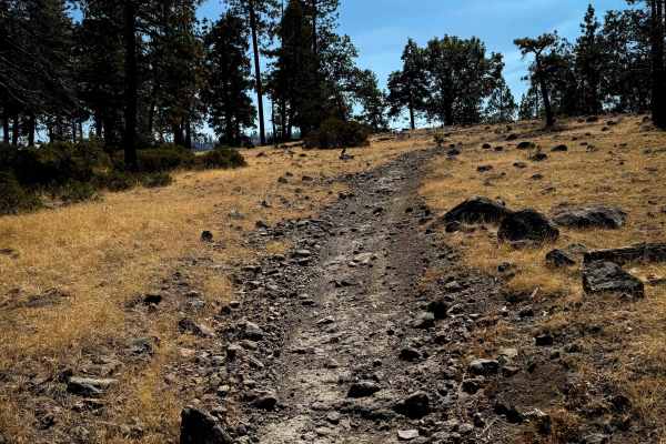
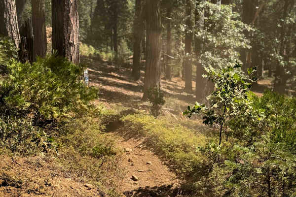
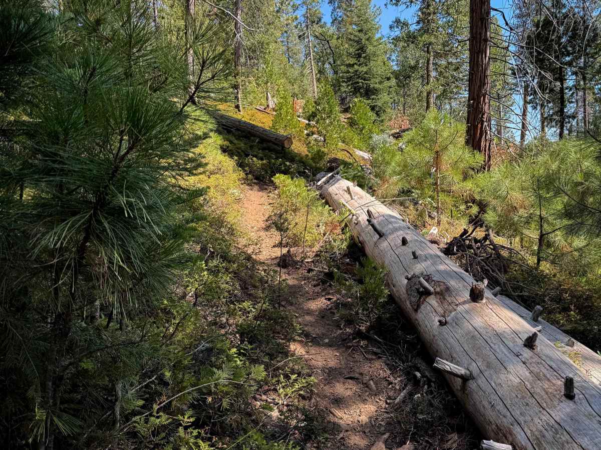
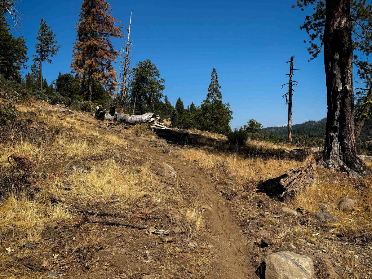
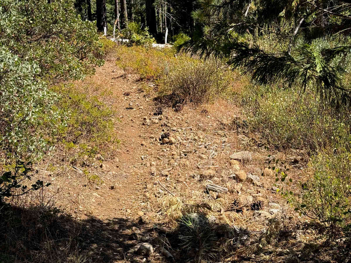
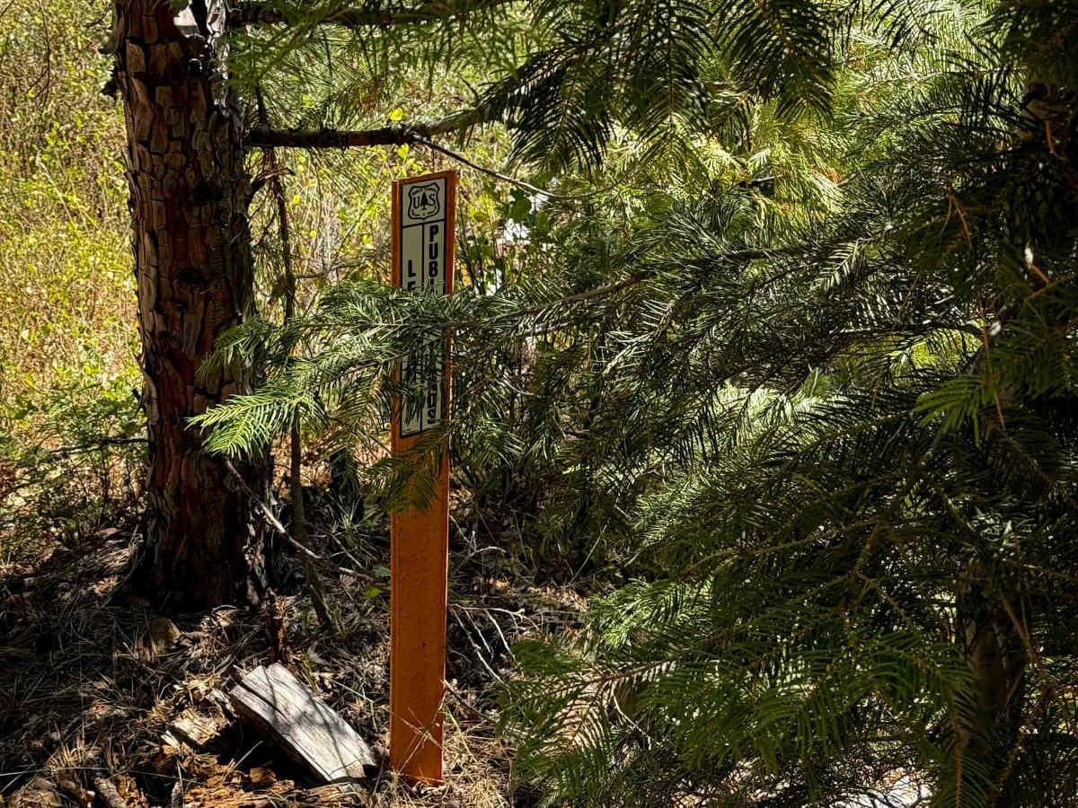
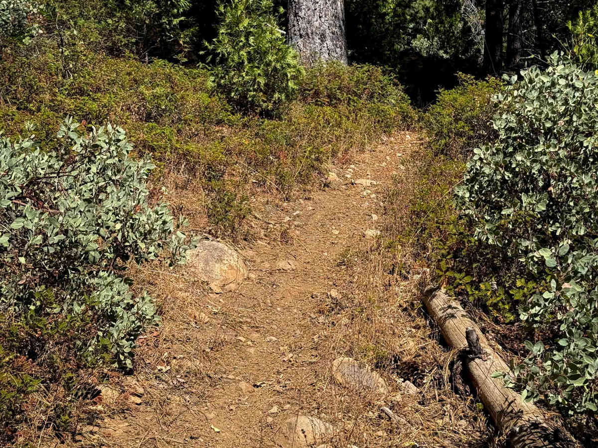
This trail departs from the end of 16EV109 and continues north through the forest on a narrow singletrack, tightly curving through the scrub oak and pine trees. It hugs the hillside as it follows the curvature of the mountain, with a lot of previously cut logs, and a few small downed logs that you have to skirt around. It has some more shaded sections in the forest lined with evergreen shrubs, but also goes through a dry and grassy sun-exposed hillside. This trail leaves the national forest boundary and enters private property on the north end, reconnecting with a road (that continues from FS 3N35) on the private property. The road on private property turns into more of a rocky trail, but there are signs indicating a right to pass, and it does connect to FS 3N05, so you can connect this part of the trail system to the trails closer to Crandall Peak. This trail is seasonally closed 12/16 – 4/14 to motorized use.
Difficulty
This is a moderately easy trail as it has some tight sections through the forest, a bit of loose rock, and some semi-steep grades. It doesn’t have any major rock ledges; however, it could have potential log crossings.