Trail Overview
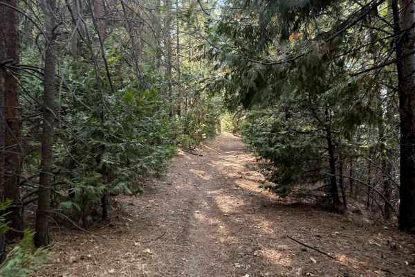
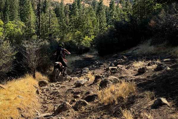
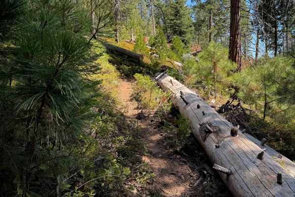
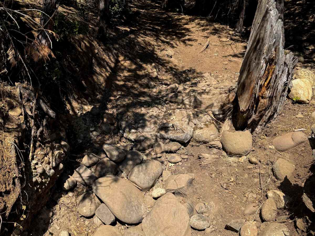
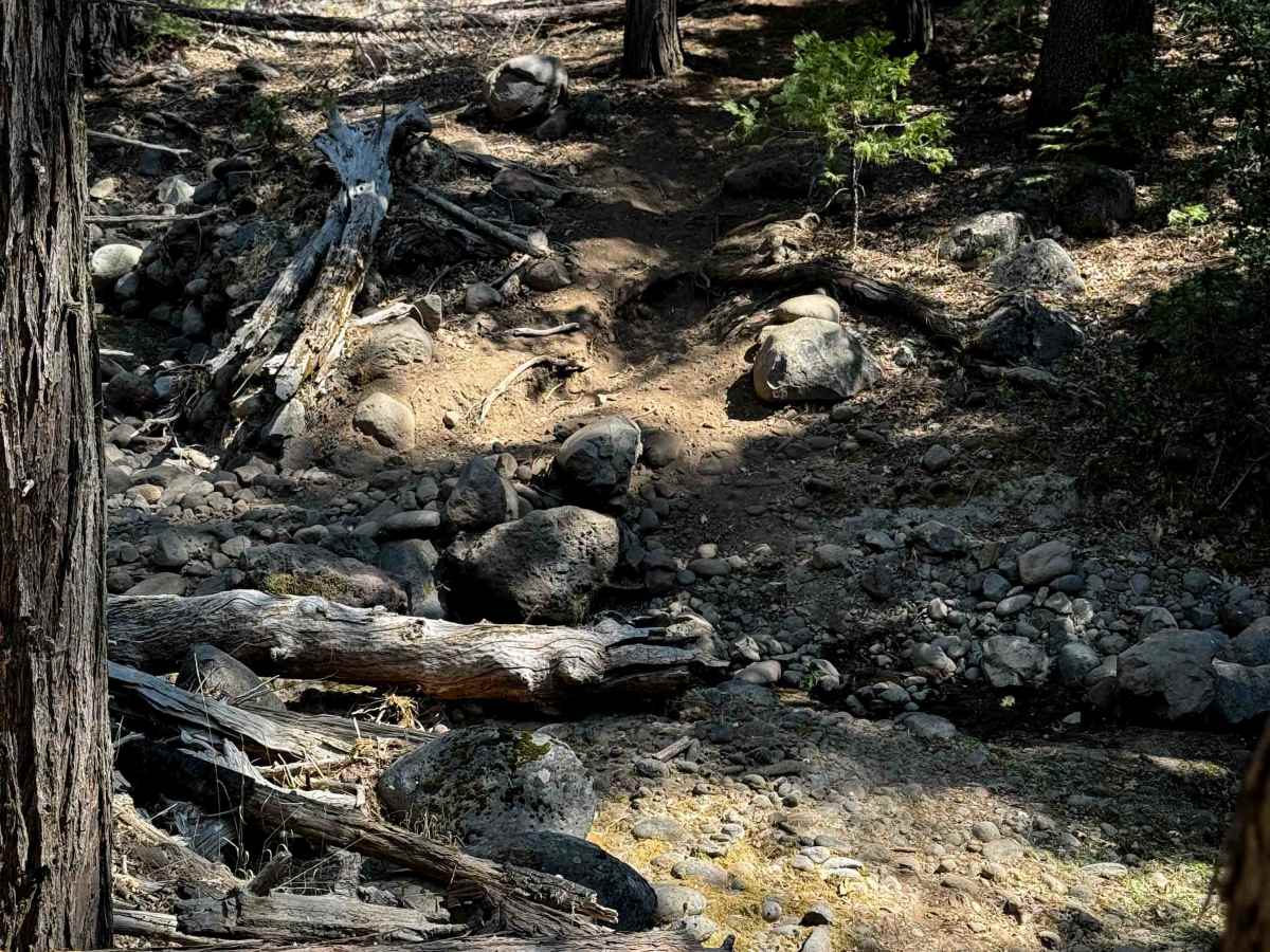
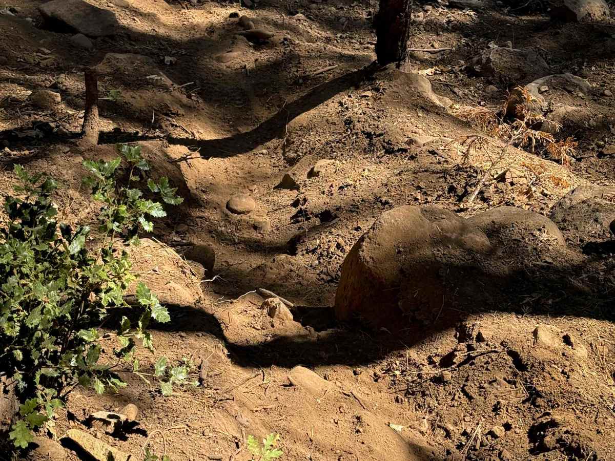
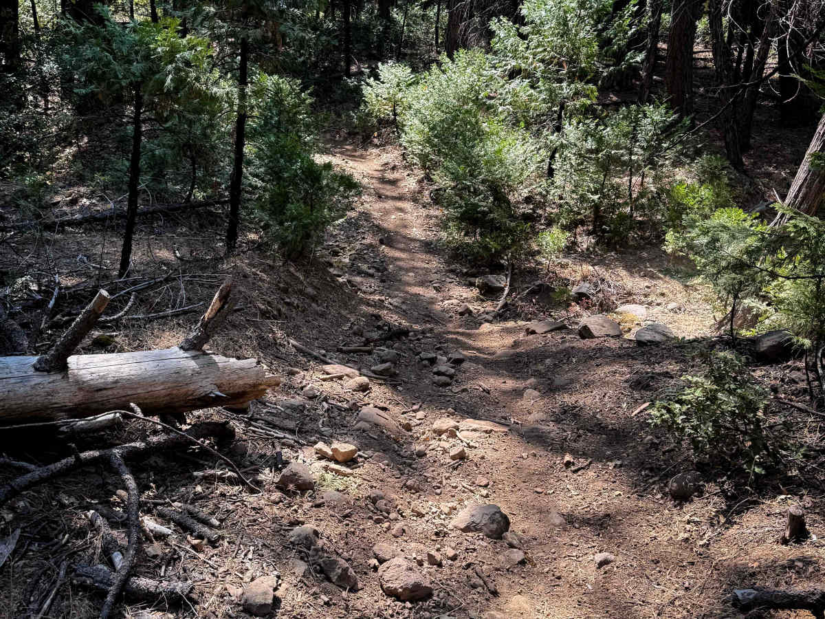
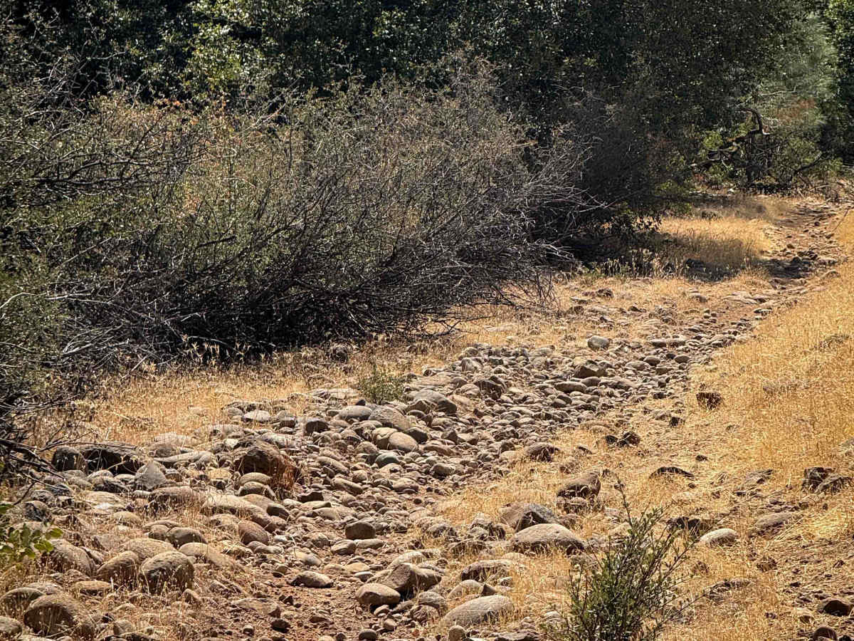
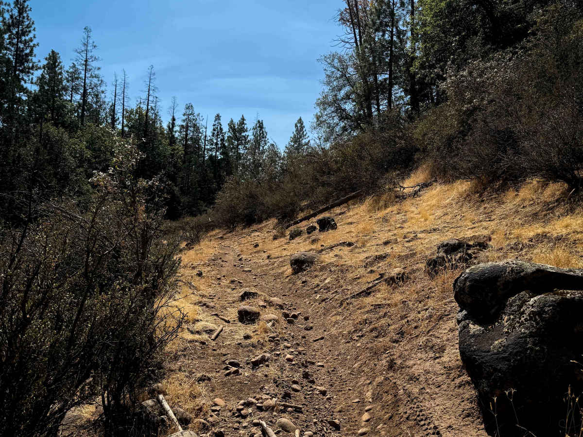
This 2.1-mile-long single track starts off easy, fast, and flowy on the west end, from the intersection with 16EV407. It’s just a narrow single track meandering along the hillside and between the scrub oak, but it gets wider after the intersection with 16EV248, going over more loose rocks and some rock slabs. It dips down and crosses several dry ravines, and also has several low-hanging downed trees to watch out for at head height. The trail has a more moderate rock obstacle that is a pile of big loose boulders leading into a rock/root ledge. It turns right after this ledge and continues over dry and sun-exposed sections with loose rocks. Near the east end, it drops down into a wide rocky ravine, with a couple of small root ledges and loose rocks, then climbs out of the ravine to intersect with FS Road 3N58. This trail is seasonally closed 12/16 – 4/14 to motorized use.
Difficulty
This is a moderate trail due to several loose rocky sections, plus the one bigger root/rock obstacle that will be a challenge for newer riders. There are narrow and overgrown sections as well that add to the difficulty.