FS 3N69

Total Miles1.9
Technical Rating
1Easy
Best TimeSummer, Fall, Spring
Trail TypeFull-Width Road
Accessible By
Open Trail Map

Trail Overview

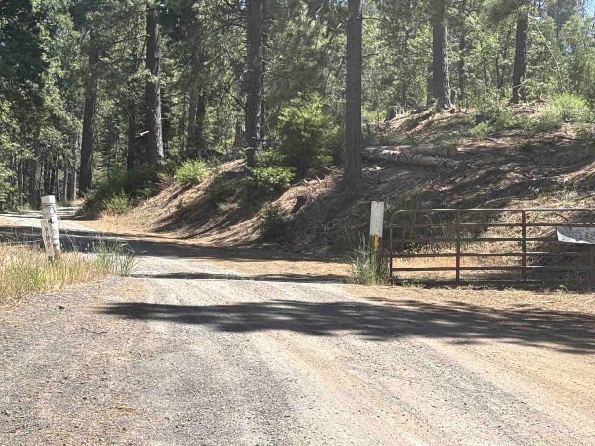
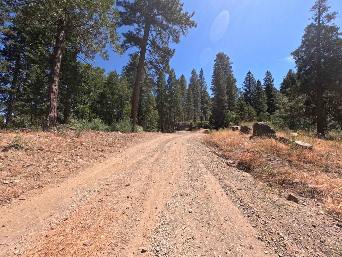
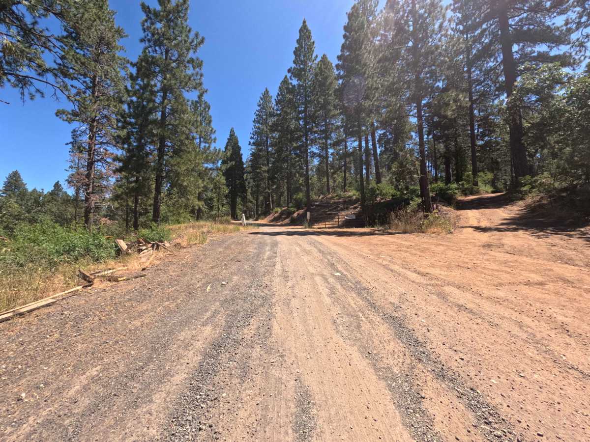
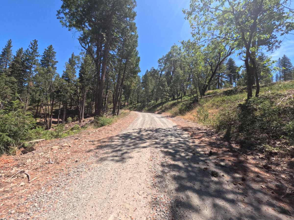
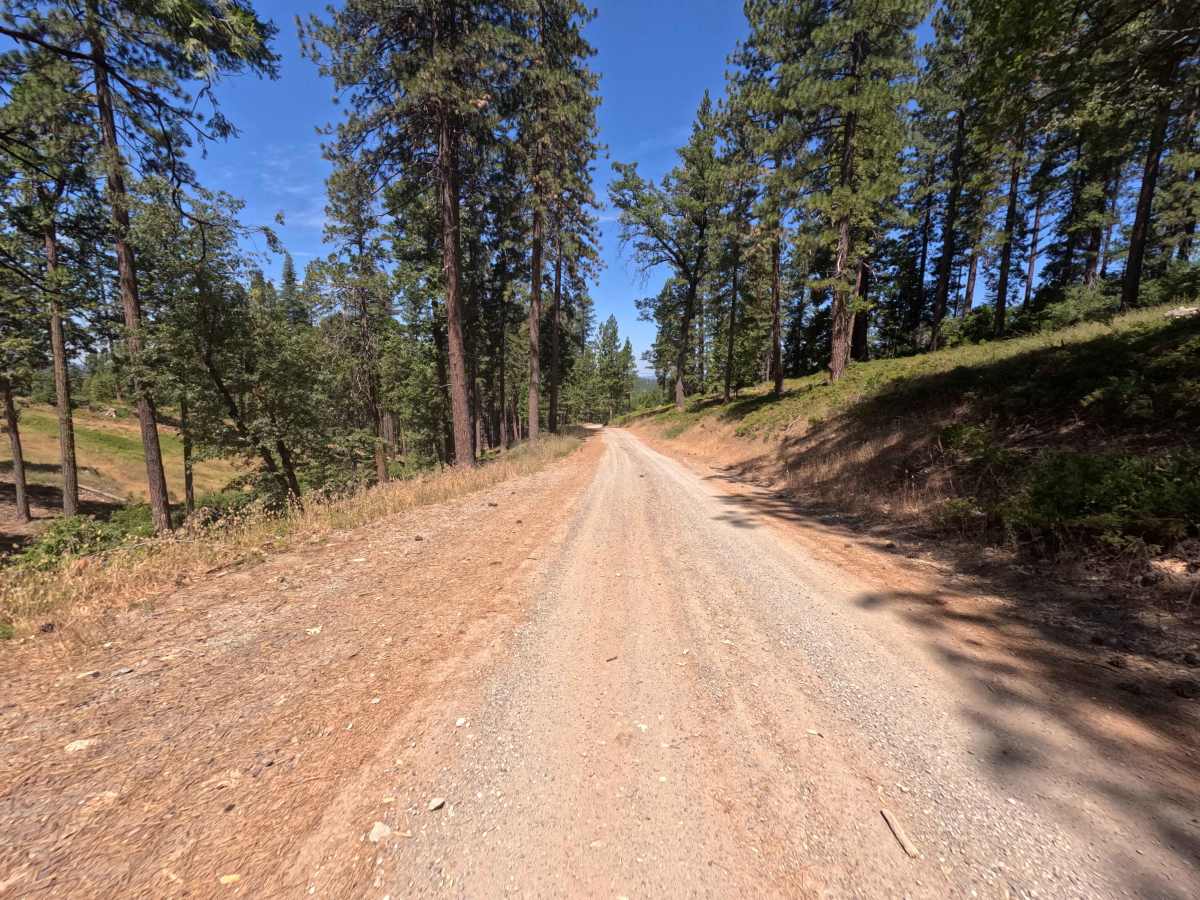
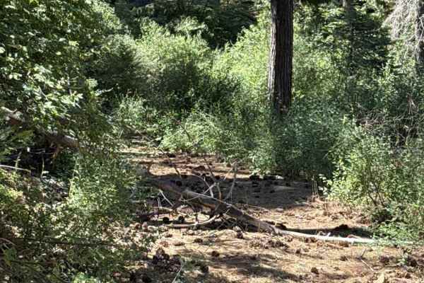
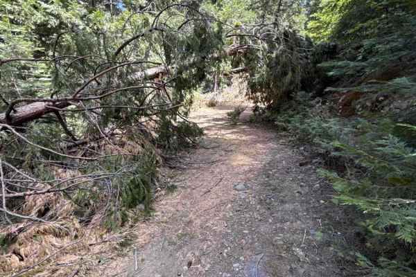
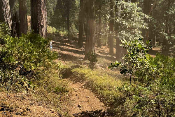
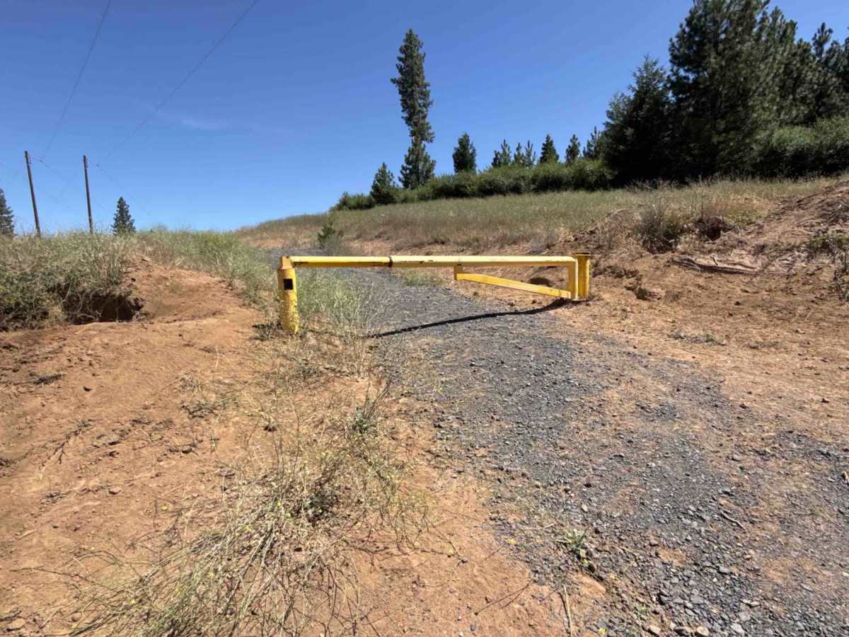
Forest Service Road 3N69 begins directly off Highway 108, passing through an open, lockable gate along the boundary between Sierra Pacific Industries land and the Stanislaus National Forest. This route serves as a key woodland connector, offering dependable throughput deeper into the forest and linking directly to secondary backcountry routes such as FS 3N30. The track winds through a dense, healthy canopy of ponderosa pines, firs, and mixed understory brush blanketing the hillsides. Established primarily for timber management, forestry operations, and motorized recreation, the road provides a relaxed, scenic gateway into the interior trail network. While a rough, gated side spur branches off along the way, the main road remains clear, wide, and well-traveled throughout.

Photos of FS 3N69

Difficulty

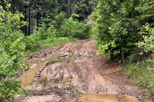
Holding an easy 1 rating, FS 3N69 features a gentle, well-graded bed of packed red soil, crushed stone, and forest duff. The trail accommodates single-vehicle traffic comfortably, backed by wide shoulders and natural pullouts for simple two-way passing. Mild elevation changes and zero technical obstacles. No ruts, shelves, or ground clearance issues, ensuring a completely manageable and scenic cruise when dry.

Technical Rating

1

FS 3N69 Trail can be accessed by the following ride types:

  • Single Track
  • 50 Inch
  • 60 Inch
  • High Clearance
  • Full Width

FS 3N69 Map

The onX Offroad Difference

onX Offroad combines trail photos, descriptions, difficulty ratings, width restrictions, seasonality, and more in a user-friendly interface. Available on all devices, with offline access and full compatibility with CarPlay and Android Auto. Discover what you're missing today!

Open Trail Map