Trail Overview
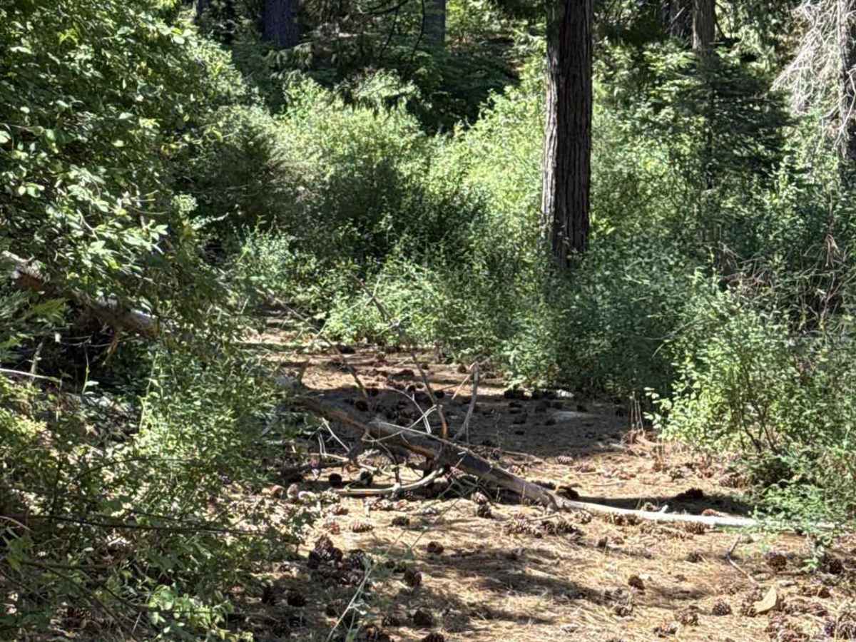
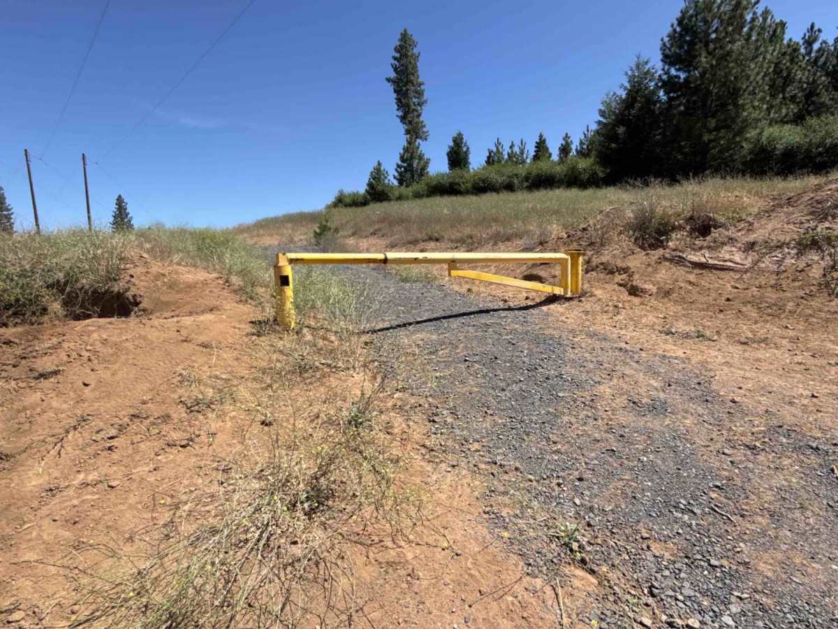
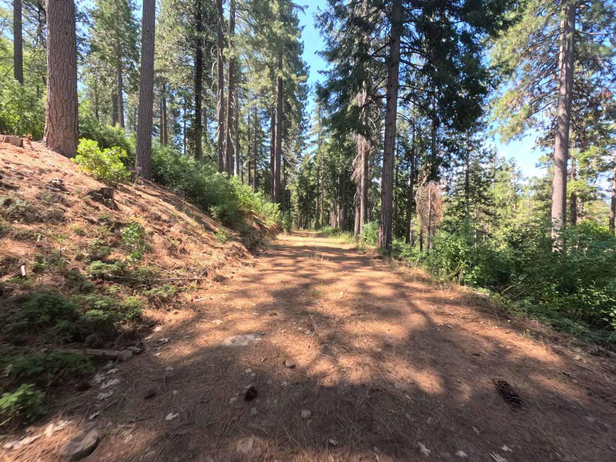
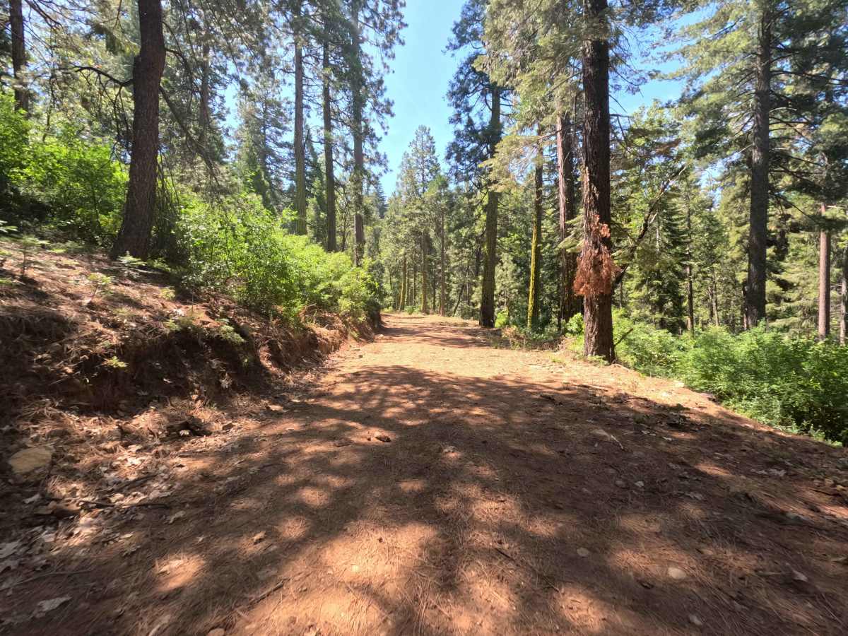
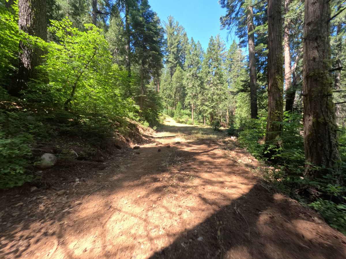
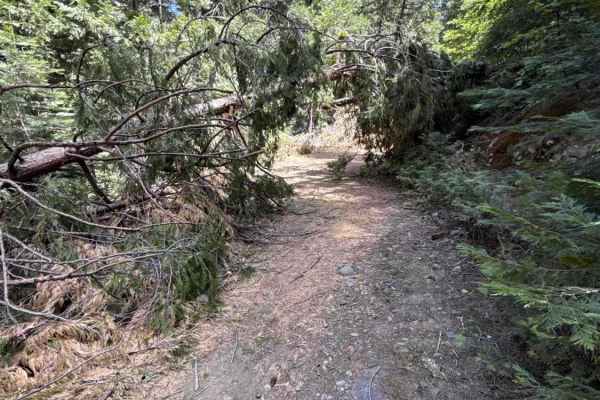
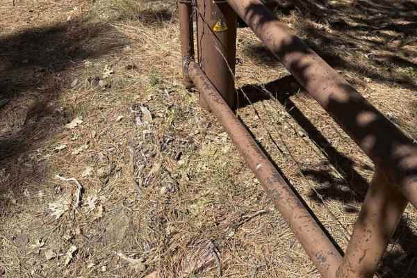
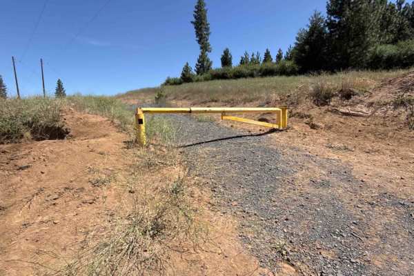
Forest Service Road 3N34A serves as a rugged, unmaintained connector linking Forest Road 3N34 and Forest Road 3N69 across Sierra Pacific Industries land adjacent to the Stanislaus National Forest. The single-lane track cuts through a dense mixed-conifer forest before emerging into sunnier, brush-heavy clearings with overgrown vegetation crowding both shoulders. Because there are no designated trailheads or established dispersed campsites along the path, the corridor primarily functions as a little-used shortcut between the two primary forest roads. Travelers will encounter an open gate at the FS 3N69 junction, which is flanked by steep, manmade dirt trenches designed to deter traffic. Expect heavy brush contact against vehicle panels and an increasingly wild, neglected roadway from start to finish.
Difficulty
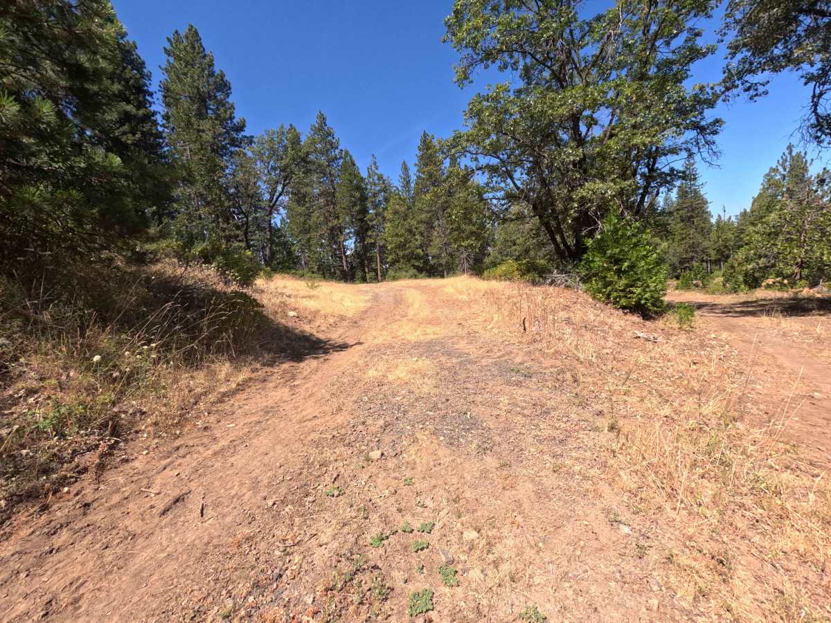
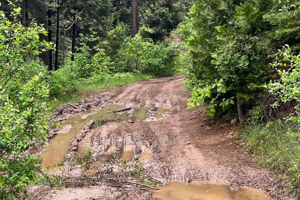
Rated a 3, this route features an uneven dirt surface broken up by grassy center ridges, eroded ruts, and short rocky patches that require deliberate tire placement. Maintaining a steady, centered line helps clear the rolling ruts and prevents high-centering on overgrown berms. The approach to the FS 3N69 gate presents abrupt earthen trenches where careful approach angles are necessary to avoid scraping. Tight foliage constricts the corridor throughout, making paint pinstriping unavoidable along the narrower stretches.

 Offroad