
Dirt Bike Trails
Near Chelan Falls, Washington
Explore All Dirt Bike Trails Near Chelan Falls, Washington
Dirt Bike Trails Near Chelan Falls, Washington
Discover the best dirt bike trails near you. Browse trail maps, check difficulty ratings, and find your next adventure — whether you're looking for a quick ride or an all-day expedition.
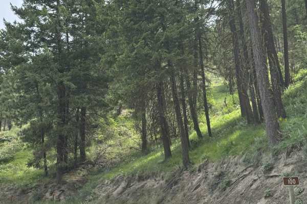
Echo Ridge - FS 8021-130
This is an easy gravel road that climbs up Echo Ridge approximately 400 feet in elevation. There are a couple of turns, but overall, this is an easy trail that any vehicle type could traverse. There are multiple hiking, biking, and snowmobile trails along the way, and the trail dead ends in the park...
Learn more about Echo Ridge - FS 8021-130
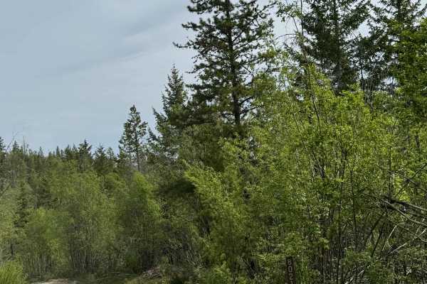
Washington Creek Road - FS 8021
This forest road is dirt-based and narrow, but widens and turns to gravel as you descend into Echo Valley. The trail is one vehicle wide for the majority of the time, with places to pass. You will encounter ruts and wash under a foot, and many humps/whoops that will lift you out of the seat if taken...
Learn more about Washington Creek Road - FS 8021
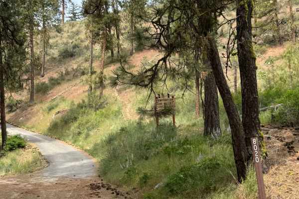
Cooper Mountain Road Southwest - FS 8020
This is a dirt-based forest road that climbs more than 3,000 feet in elevation. There are sections of gravel and mulch, with some areas having loose rocks. There are humps/whoops in the road that you must go over, and the road is narrow and one vehicle wide in most places, with no room to pass. Ther...
Learn more about Cooper Mountain Road Southwest - FS 8020
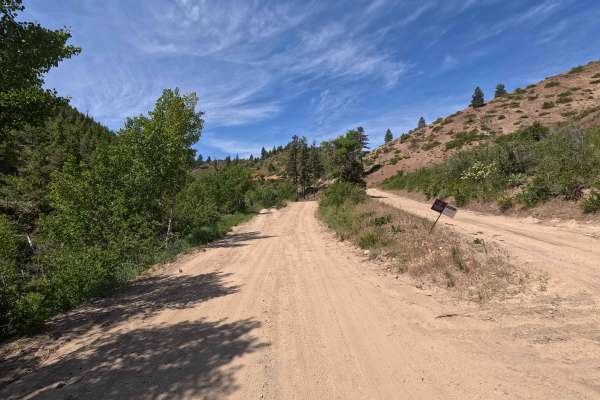
Oklahoma Gulch Road
Oklahoma Gulch Road is a 5.7-mile point-to-point route that follows a wide, smooth, and well-maintained gravel and dirt surface, connecting Mud Creek Road to Highway 97. A Discover Pass is required for access. The road becomes steeper and more winding southeast of the intersection with South Fork Mu...
Learn more about Oklahoma Gulch Road
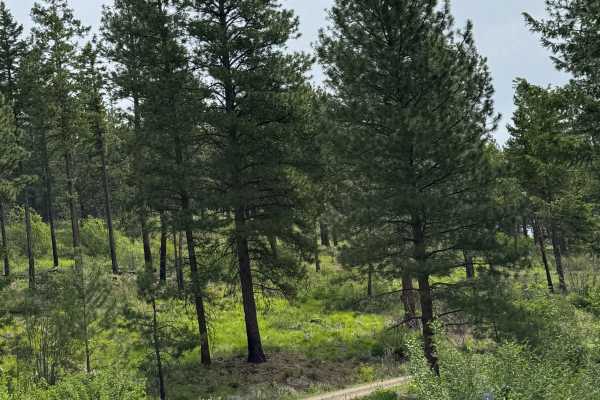
Washington Butte Trail
This is a mostly gravel forest road that climbs to the top of Washington Butte at 4,347 feet in elevation. The trail is narrow, two-track in most areas, and one vehicle wide with few places to pass. There is one sharp hairpin turn, and there are minor ledges along the trail. There are minor ruts and...
Learn more about Washington Butte Trail
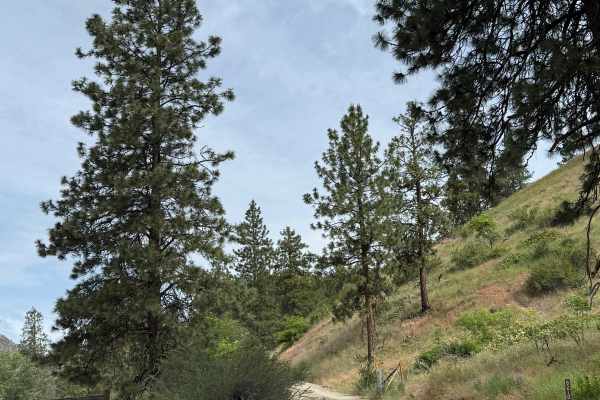
Joe Creek Road - FS 8210
This is a forest road that climbs over 3,000 feet in elevation. The trail starts on gravel and transitions to dirt. As the road climbs, it also becomes narrow and one lane wide in many areas, with no place to pass. There are some ruts and washouts under a foot deep, which should not cause an issue. ...
Learn more about Joe Creek Road - FS 8210
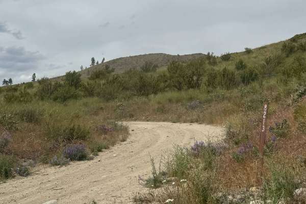
Johnson Creek Road - FS 8213
This is a narrow, one-lane, dirt-based forest road. There are a few places to pass, and the trail is a shelf road most of the way with over 2,100 feet in elevation change. There are ruts and wash under a foot, and bumpy rock garden sections with some loose rock. The switchbacks have ledges with high...
Learn more about Johnson Creek Road - FS 8213
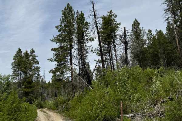
Goat Mountain Road - FS 8140-145
This is a dirt-based forest road that climbs to the top of Goat Mountain. At the top, there are 2 radio/phone towers, and you will have a panoramic view of the peaks and ridges in the area. The trail up is narrow and one vehicle wide in most places, with some two-track sections. There are places to ...
Learn more about Goat Mountain Road - FS 8140-145
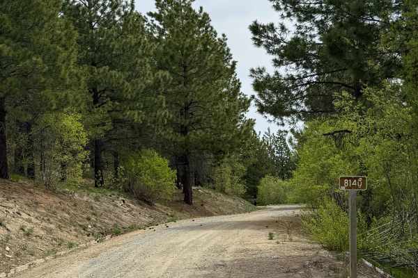
Antoine Creek Road - FS 8140
This forest road has sections of dirt and gravel. Starting from Cooper Mountain Road, you will descend nearly 3,200 feet in elevation. There are areas that are very steep with a 13% pitch. The road is wide enough for 2 vehicles to pass most of the way, but there are many switchbacks with ledges and ...
Learn more about Antoine Creek Road - FS 8140
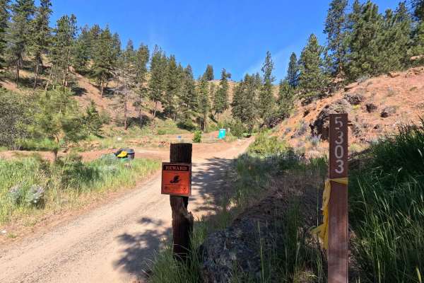
Powerline Road - FS 5303
Powerline Road is a 4.2-mile point-to-point single-lane dirt route that includes shelf-road sections and some potholes and rutted areas that may make travel difficult for low-clearance vehicles. The road shares its first 1.6 miles with Section 4 of the Washington Backcountry Discovery Route, where u...
Learn more about Powerline Road - FS 5303
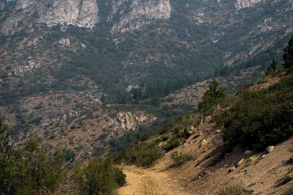
East Fork Mitchell FS 8215-112
East Fork Mitchell is a 3.5-mile-long easy ATV trail near the town of Chelan, Washington. The trail starts off Grade Creek Road, and it climbs and winds up the hillside on a wide path. The trail has minor technical features such as small loose rocks, shallow ruts, embedded rock surfaces, and loose d...
Learn more about East Fork Mitchell FS 8215-112
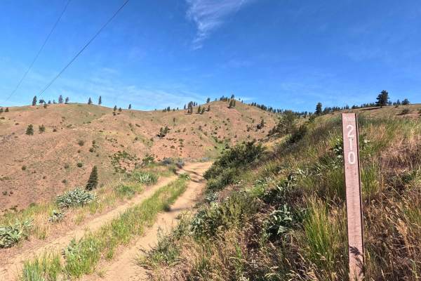
FS 5303210
FS 5303210 is a 6.9-mile point-to-point single-lane dirt route. The road is generally smooth but includes shelf road sections and some brush encroachment in narrower areas. A short but steep climb is present along the route, featuring fist-sized loose rock where 4WD is recommended. This trail is par...
Learn more about FS 5303210
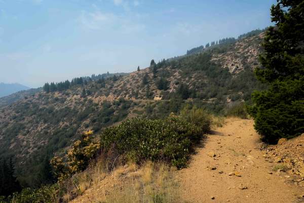
Mitchell Creek FS 8215
Mitchell Creek Trail is a 7 mile long easy ATV trail near the town of Chelan, Washington. The trail starts off of Grade Creek Road, and it climbs and winds up the hillside on a wide path that has shallow ruts, big loose rocks, and loose dirt. The first two miles of trail are the steepest, as it clim...
Learn more about Mitchell Creek FS 8215
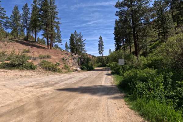
Mud Creek Road - FS 53
Mud Creek Road is a 7.5-mile point-to-point route that begins as a wide, smooth road with occasional potholes and numerous spur trails branching off along the way. The route includes some mildly rutted sections before narrowing and transitioning into a shelf road in the upper portions, where water d...
Learn more about Mud Creek Road - FS 53
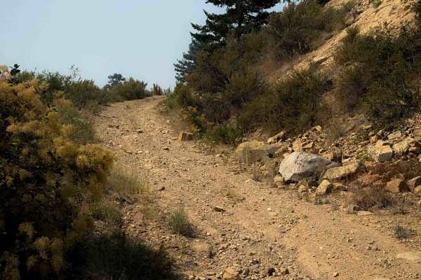
Mitchell Gold Ridge - FS 8215-113
This is a short dead-end ATV spur off of the Mitchell Creek ATV Trail. From the intersection with Mitchell Creek Trail, this trail starts climbing up a steep and loose trail with shallow ruts and loose rocks. It’s a shelf trail that is wide, but still exposed as it follows the curvature of the hills...
Learn more about Mitchell Gold Ridge - FS 8215-113
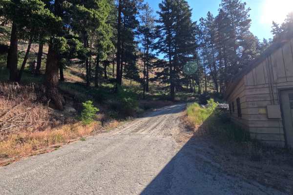
Steliko Ridge Road - FS 5310
Steliko Canyon Road is a 6.9-mile out-and-back route that begins by climbing past the work camp in Ardenvoir. The trail is steep and single-lane, featuring water bars, shelf road sections, and areas of mild rutting. As the route continues, rutting becomes more pronounced and brush encroachment incre...
Learn more about Steliko Ridge Road - FS 5310
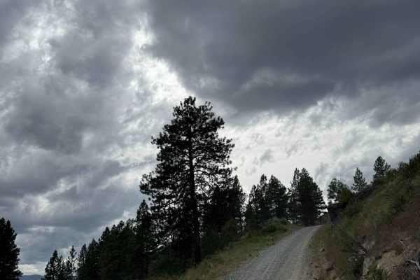
Deer Road - FS 8020-117
This is a dirt-based forest road with gravel sections and patches. The trail is a steep, narrow, one-lane road with places to pass. The trail climbs nearly 3,000 feet in elevation with switchbacks and big drop-offs. You will climb the first half of this trail, then descend the second half. There are...
Learn more about Deer Road - FS 8020-117
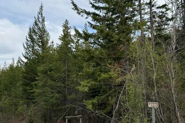
Black Canyon Road - FS 4010
This is a gravel-based forest road that climbs from the Black Canyon Sno Park off Highway 153 to FS 8020. The trail climbs over 3,800 feet and is narrow with room to pass, and sections are rough with washboard. There are some ledges with moderate drop-offs, but any vehicle type should have no issue ...
Learn more about Black Canyon Road - FS 4010
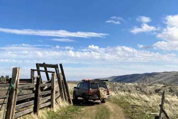
Duffy Creek Overlook
The Duffy Creek route takes you across some of the most scenic BLM land in central Washington. Most of the route overlooks the stunning Waterville Plateau. The route eventually descends into Duffy Creek; however, that section of the route is less used, overgrown, and narrow. Full-sized vehicles will...
Learn more about Duffy Creek Overlook
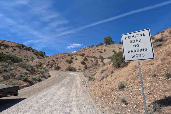
Swakane Canyon Road - FS 7415
Swakane Canyon Road is a 12.1-mile point-to-point route that begins directly off Highway 97 as a wide two-lane gravel road before narrowing and becoming rougher past the shooting range at mile 1.3. As the route climbs, it features some rutted, narrow sections where low-clearance vehicles are not rec...
Learn more about Swakane Canyon Road - FS 7415
ATV trails near Chelan Falls, Washington
Explore ATV-friendly trails near you. These trails are accessible for vehicles up to 50 inches wide, perfect for ATVs and smaller off-road machines.
Echo Ridge - FS 8021-130
This is an easy gravel road that climbs up Echo Ridge approximately 400 feet in elevation. There are a couple of turns, but overall, this is an easy trail that any vehicle type could traverse. There are multiple hiking, biking, and snowmobile trails along the way, and the trail dead ends in the park...
Learn more about Echo Ridge - FS 8021-130
Washington Creek Road - FS 8021
This forest road is dirt-based and narrow, but widens and turns to gravel as you descend into Echo Valley. The trail is one vehicle wide for the majority of the time, with places to pass. You will encounter ruts and wash under a foot, and many humps/whoops that will lift you out of the seat if taken...
Learn more about Washington Creek Road - FS 8021
Cooper Mountain Road Southwest - FS 8020
This is a dirt-based forest road that climbs more than 3,000 feet in elevation. There are sections of gravel and mulch, with some areas having loose rocks. There are humps/whoops in the road that you must go over, and the road is narrow and one vehicle wide in most places, with no room to pass. Ther...
Learn more about Cooper Mountain Road Southwest - FS 8020
Oklahoma Gulch Road
Oklahoma Gulch Road is a 5.7-mile point-to-point route that follows a wide, smooth, and well-maintained gravel and dirt surface, connecting Mud Creek Road to Highway 97. A Discover Pass is required for access. The road becomes steeper and more winding southeast of the intersection with South Fork Mu...
Learn more about Oklahoma Gulch Road
UTV/side-by-side trails near Chelan Falls, Washington
Find UTV and side-by-side trails near you. These trails accommodate vehicles up to 60 inches wide, ideal for UTVs, side-by-sides, and wider off-road rigs.
Echo Ridge - FS 8021-130
This is an easy gravel road that climbs up Echo Ridge approximately 400 feet in elevation. There are a couple of turns, but overall, this is an easy trail that any vehicle type could traverse. There are multiple hiking, biking, and snowmobile trails along the way, and the trail dead ends in the park...
Learn more about Echo Ridge - FS 8021-130
Washington Creek Road - FS 8021
This forest road is dirt-based and narrow, but widens and turns to gravel as you descend into Echo Valley. The trail is one vehicle wide for the majority of the time, with places to pass. You will encounter ruts and wash under a foot, and many humps/whoops that will lift you out of the seat if taken...
Learn more about Washington Creek Road - FS 8021
Cooper Mountain Road Southwest - FS 8020
This is a dirt-based forest road that climbs more than 3,000 feet in elevation. There are sections of gravel and mulch, with some areas having loose rocks. There are humps/whoops in the road that you must go over, and the road is narrow and one vehicle wide in most places, with no room to pass. Ther...
Learn more about Cooper Mountain Road Southwest - FS 8020
Oklahoma Gulch Road
Oklahoma Gulch Road is a 5.7-mile point-to-point route that follows a wide, smooth, and well-maintained gravel and dirt surface, connecting Mud Creek Road to Highway 97. A Discover Pass is required for access. The road becomes steeper and more winding southeast of the intersection with South Fork Mu...
Learn more about Oklahoma Gulch Road
The onX Offroad Difference
onX Offroad combines trail photos, descriptions, difficulty ratings, width restrictions, seasonality, and more in a user-friendly interface. Available on all devices, with offline access and full compatibility with CarPlay and Android Auto. Discover what you're missing today!
Open Trail Map