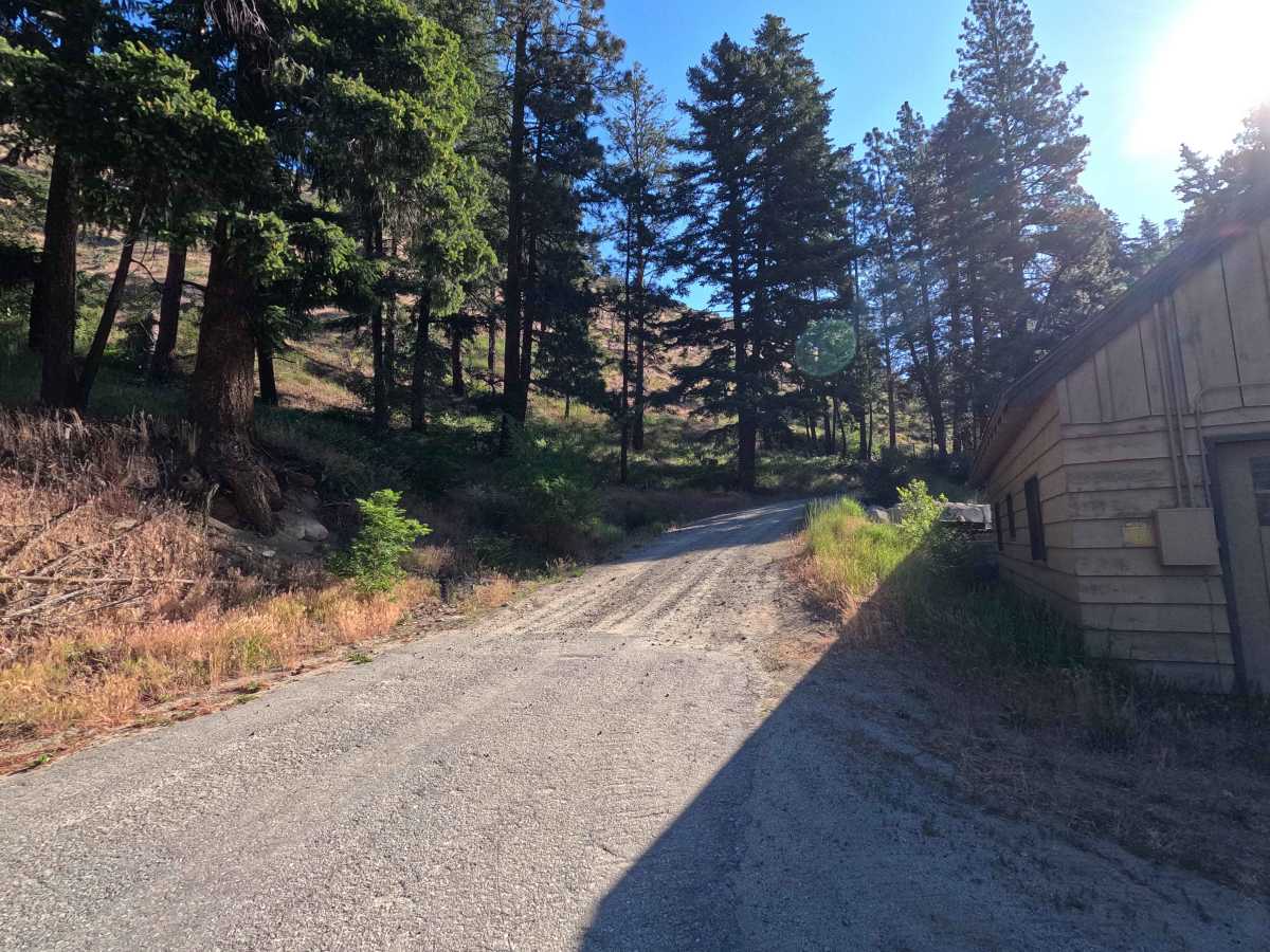
Trail Overview
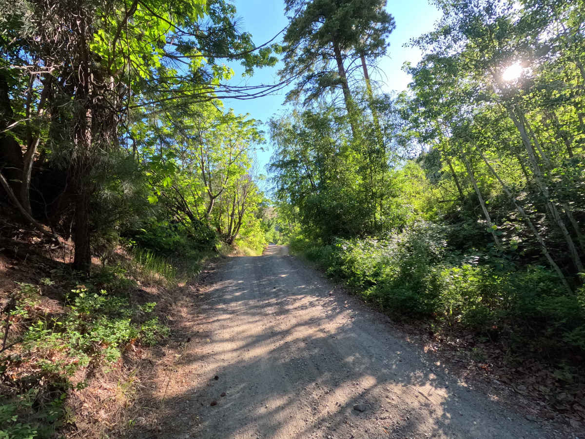
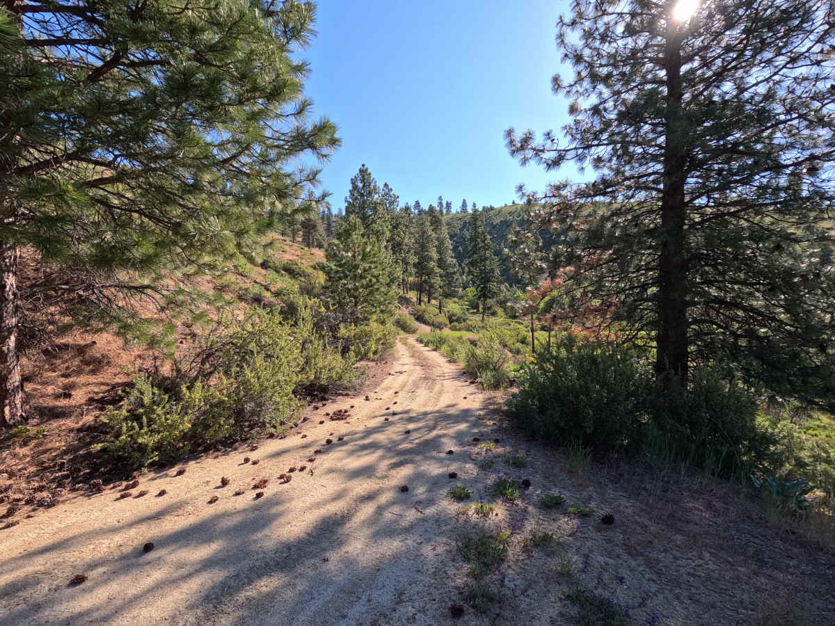
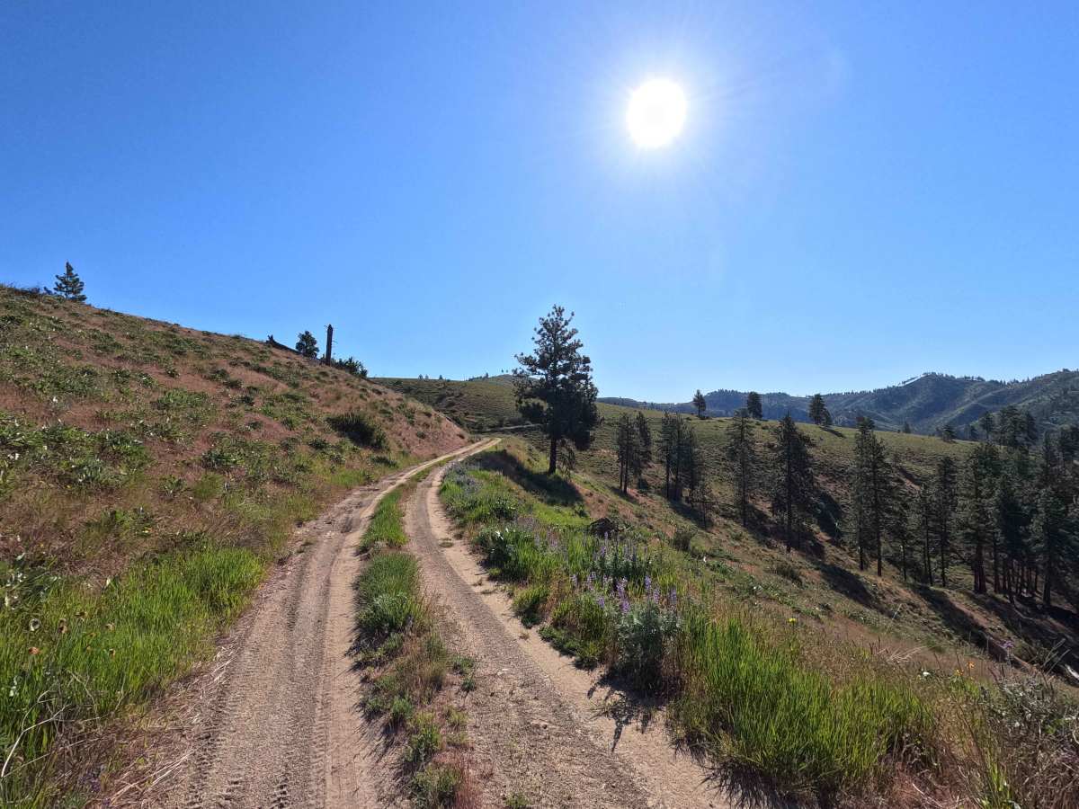
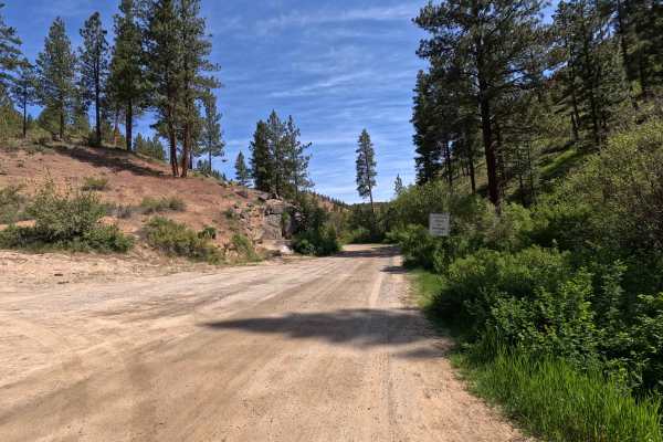
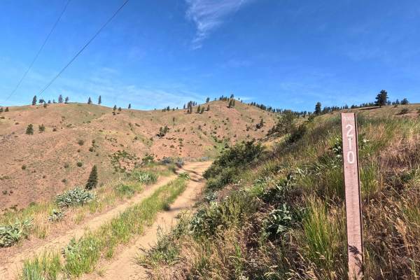
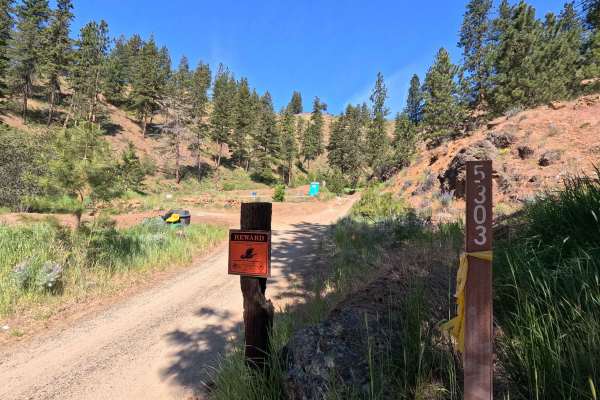
Steliko Canyon Road is a 6.9-mile out-and-back route that begins by climbing past the work camp in Ardenvoir. The trail is steep and single-lane, featuring water bars, shelf road sections, and areas of mild rutting. As the route continues, rutting becomes more pronounced and brush encroachment increases, particularly near the intersection with Powerline Road. The road becomes overgrown but remains passable along the north side, though full-size vehicles should expect pinstriping. The route ultimately ends where heavy overgrowth and a tank trap block further travel. Steliko Ridge Road is open year-round.
Difficulty
Steliko Canyon Road is best suited for high-clearance 4WD vehicles, as the steep grade, water bars, and shelf road sections can make travel difficult for less capable vehicles. The primary challenges include increasing rutting and significant brush encroachment, which may result in pinstriping for full-size vehicles. While much of the route remains passable, the road becomes more overgrown toward the upper sections and is ultimately blocked by heavy vegetation and a tank trap. Weather conditions such as rain can increase difficulty, particularly where the surface becomes slick. As with most trails in the area, bringing a chainsaw or equipment to clear fallen trees is recommended.