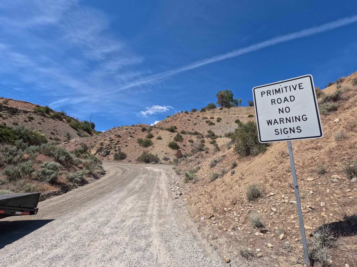
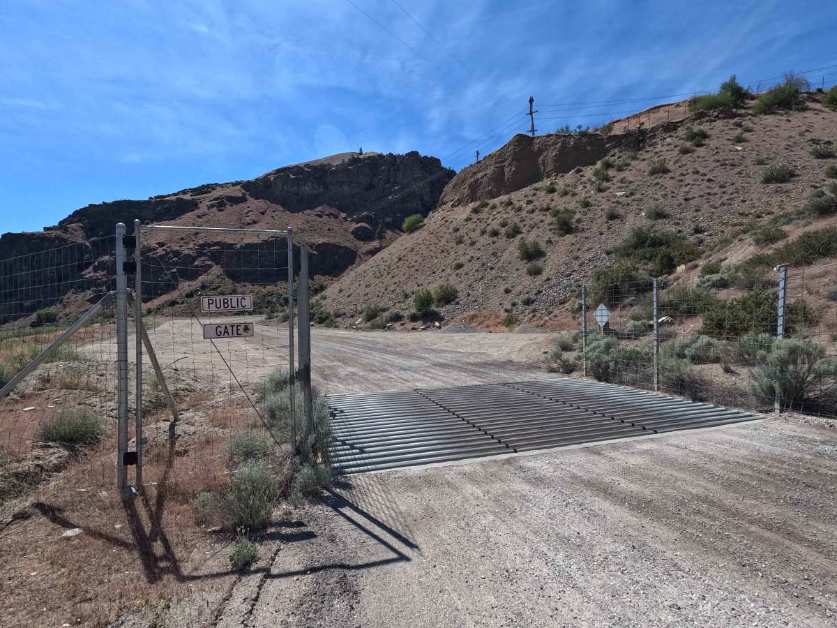
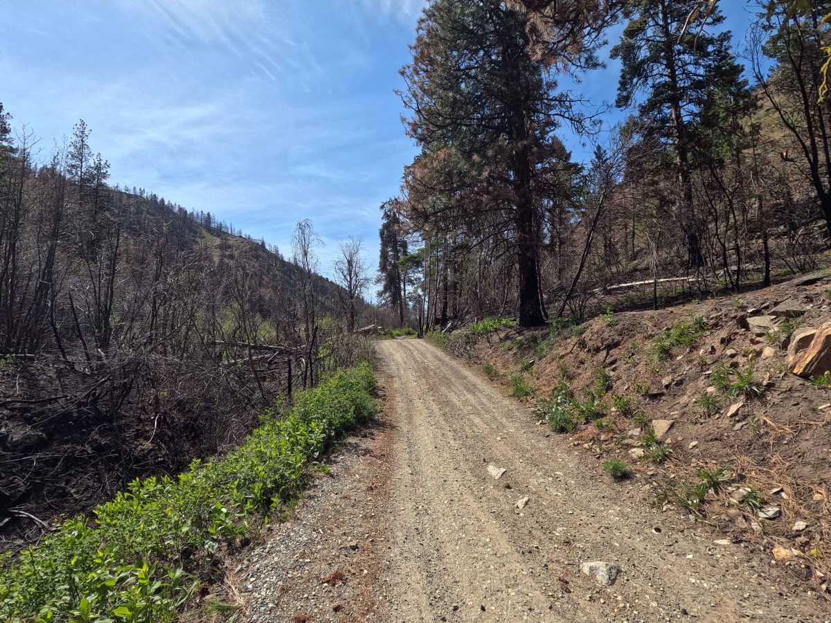
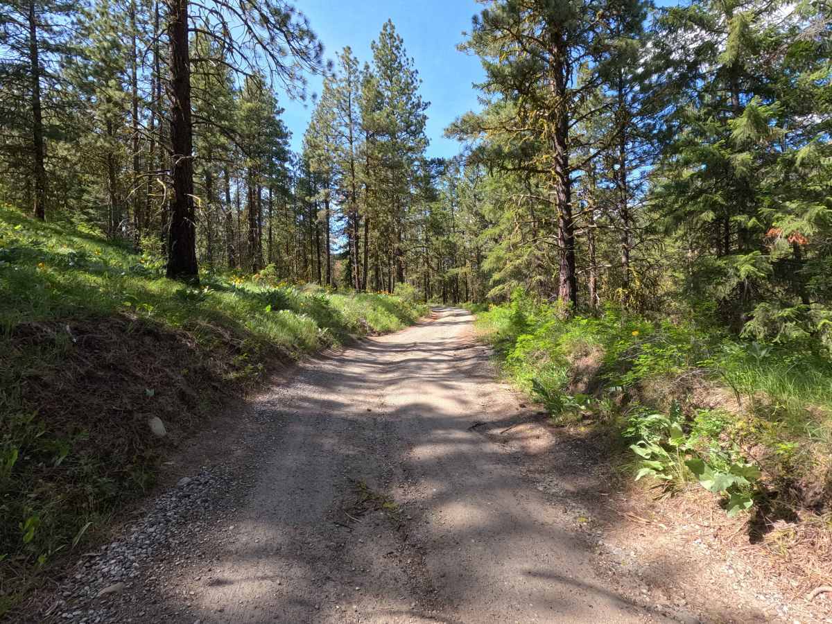
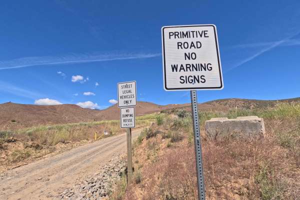
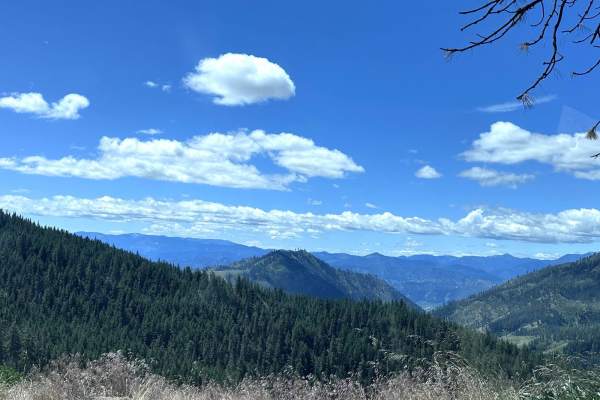
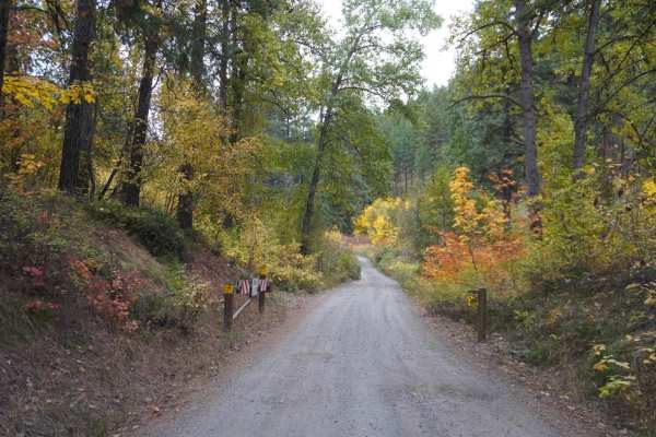
Trail Overview
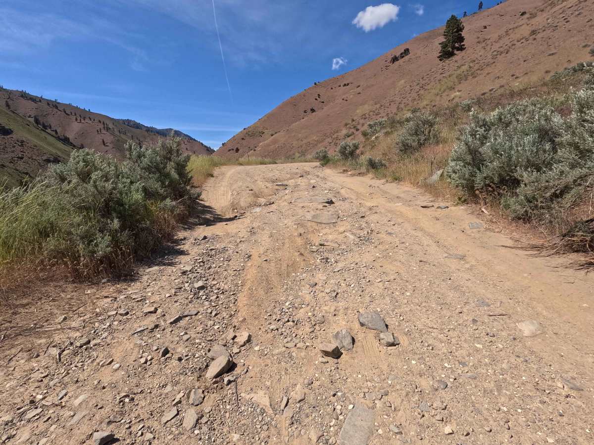
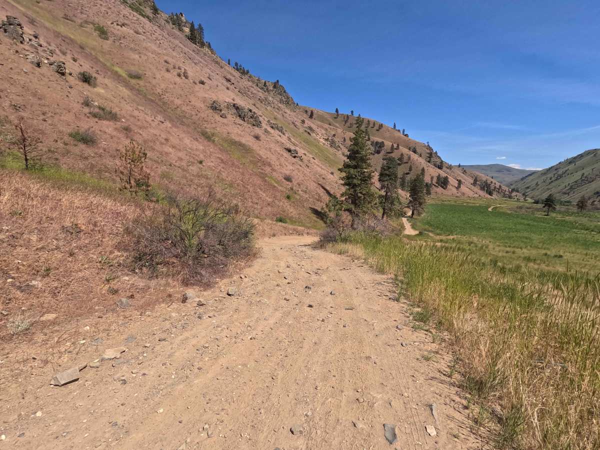
Swakane Canyon Road is a 12.1-mile point-to-point route that begins directly off Highway 97 as a wide two-lane gravel road before narrowing and becoming rougher past the shooting range at mile 1.3. As the route climbs, it features some rutted, narrow sections where low-clearance vehicles are not recommended, eventually transitioning to a shelf road in the upper reaches. The trail passes through a recently burned area (the 2025 Sugarloaf Fire), where caution is advised due to potentially unstable trees and flash floods. After the upper parking lot, the route intersects section 4 of the Washington Backcountry Discovery Route (WABDR), and users should be aware of increased traffic, particularly motorcycles, during the summer months. Additional sandy and rutted sections are present beyond this point. A Discovery Pass is required for access, and the route is open year-round.
Difficulty
Swakane Canyon Road is suitable for most high-clearance vehicles, as conditions become more challenging beyond the lower sections. The primary challenges include narrow, rutted terrain and a shelf road in the upper portions, which may require careful driving and attention to tire placement. Sandy sections and loose surfaces can further reduce traction, particularly after the upper parking area. The recently burned area presents an additional hazard, as standing trees may be unstable. Weather conditions such as rain can increase difficulty, especially where the surface becomes soft or slick. As with most trails in the area, bringing a chainsaw or equipment to clear fallen trees is recommended.