
Dirt Bike Trails
Near Campion, Colorado
Explore All Dirt Bike Trails Near Campion, Colorado
Dirt Bike Trails Near Campion, Colorado
Discover the best dirt bike trails near you. Browse trail maps, check difficulty ratings, and find your next adventure — whether you're looking for a quick ride or an all-day expedition.
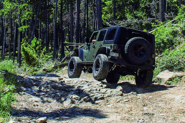
Storm Mountain, Bear Gulch
**Currently closed due to rock/mud slide from fire** Check out the side roads, and enjoy some fun terrain on this trail in the Roosevelt National Forest. There is a fun little loop off the east side. Watch for gates and signs during hunting season to avoid hefty penalties. There is some camping avai...
Learn more about Storm Mountain, Bear Gulch
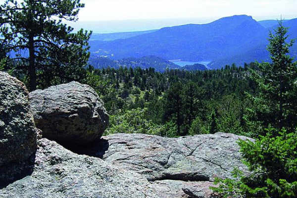
Johnny Park Road
Most of this trail will follow a high ridge with amazing views. Start on the east end for the best camping and easy access to the trail. Unlicensed vehicles are permitted, and this is a popular spot for them as well. There are some good challenging spots to the north towards the end of the trail. If...
Learn more about Johnny Park Road
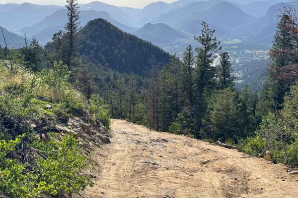
Pole Hill Road
This trail starts with a steep climb with two options: the left is dirt that has been washed out/dug out, and the right is rocky, but both can be navigated in a stock 4x4. The trail continues with several sections of exposed bedrock where tire placement is important, and skid plates would be benefic...
Learn more about Pole Hill Road
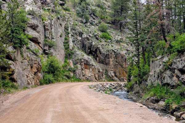
Buckhorn Road - 44H
Buckhorn Road (Larimer County Road 44H) is a highly scenic dirt route that serves as a major connector between the Stove Prairie area and Pingree Park Road. Heading east to west, the trail gently climbs through Buckhorn Canyon, following a creek through thick pine and aspen forests up to the 9,163-f...
Learn more about Buckhorn Road - 44H
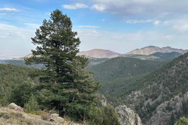
Headache Road
Headache Road is an out-and-back trail that runs off of the east side of Miller Rock Road trail. Contrary to the name it shouldn't cause too many headaches. The trail primarily consists of dirt and gravel with a few rocks to crawl over. It is mostly forested with some areas of tight trees that could...
Learn more about Headache Road
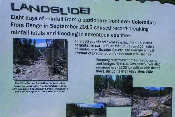
Pierson Park Road
Both sides are open. The southern side is fun for ATVs and UTVs. It is somewhat flat, with camping available along the route. You'll be in the trees for the most part, but check out the views when you get to the high points. There are some fun side roads to explore, including those around Peirson Pa...
Learn more about Pierson Park Road
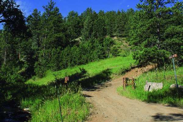
Moody Hill
Start out with a nice rugged climb and enjoy the trees, meadows, and beautiful views. There is a lot of camping available, so pick your spot and have fun exploring all the terrain. Open June 15 to December 1.
Learn more about Moody Hill
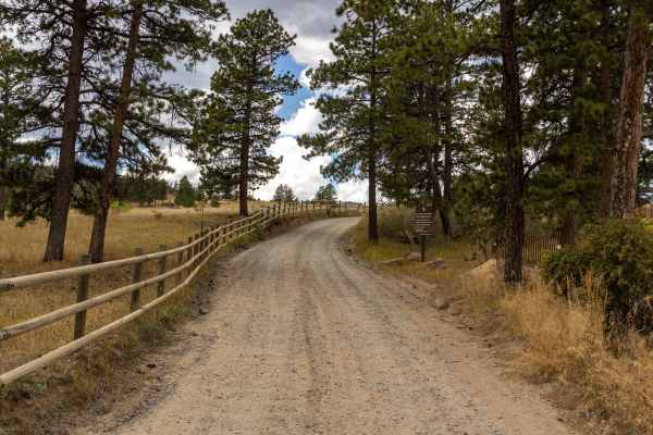
Old Flowers Road
Old Flowers Road is a challenging offroad trail featuring mud ruts, steep hills with loose rock, potholes, and erosion throughout. The trail is rough, with dips, bumps, and occasional water crossings that demand careful vehicle handling. Portions of the route traverse burn scars, adding to the rugge...
Learn more about Old Flowers Road
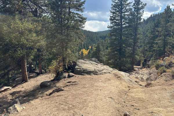
Miller Rock Road
Miller Rock Road is an out-and-back trail that starts off of the south side of Riverside Driveuns along Middle Street Vrain Creek. The trail primarily consists of dirt and gravel with many rocks and boulders to crawl over. It is mostly forested, with some areas of tight trees that could be tricky fo...
Learn more about Miller Rock Road
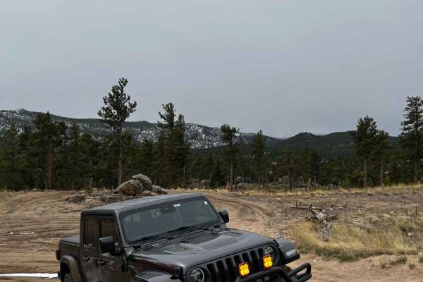
Cave Creek Road
Cave Creek Road (USFS Road 217) is a short but engaging 0.9-mile climb in the Roosevelt National Forest, perfect for moderately experienced offroaders seeking a quick challenge with scenic overlooks. Starting from the Peak to Peak Highway near Raymond, the route wastes no time, immediately throwing ...
Learn more about Cave Creek Road
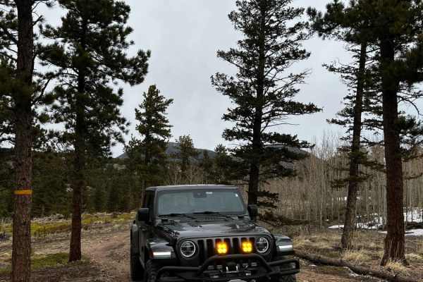
Rifle Road
The route begins in the middle of Cave Creek and is both USFS 217C and 217D. If you head up the left side of the trail there is a nice hill that offers some good rock climbing for the more mild vehicles. Once you reach the end of the left side, it opens up to a nice little fire ring accompanied by a...
Learn more about Rifle Road
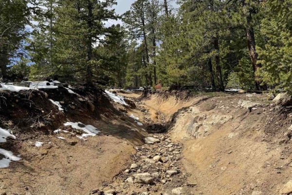
Ironclads
Ironclads is a challenging out-and-back loop branching off Bunce School Road Trail. It features loose rock climbs and descents, tight off-camber turns, boulder fields, and a couple of steep ledges. Scenic views are limited, but your attention will be focused on navigating the trail's numerous obstac...
Learn more about Ironclads
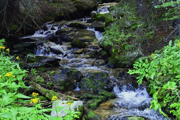
Rock Creek
This trail begins in Allenspark and heads up a ridge into the wilderness. The scenery is lush and beautiful, but views are blocked by trees. Camping is available along the trail and at the top. You'll see Rock Creek Ski Area mid-way up the trail to the left. The trail is open June 1 to November 30.
Learn more about Rock Creek
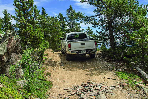
Greer Road
There are limited views on this trail due to the thick trees, but you'll have a great time exploring side roads. This is a really good area for ATVs and UTVs. Camp and unload on the east portion of the trail. This trail is open all year; however, there is a gate that may be closed for temporary clos...
Learn more about Greer Road
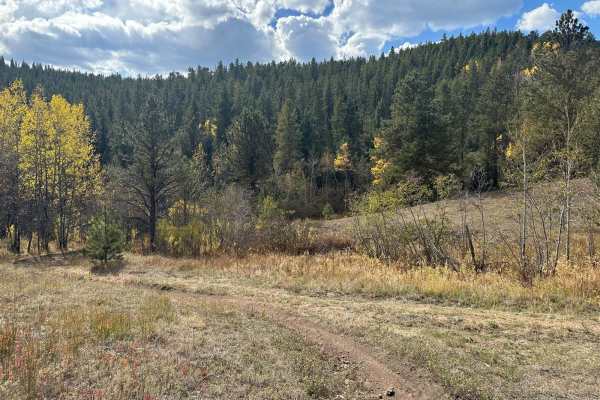
Spring Gulch - 102J
The trail begins near the end of the Gold Lake Trail on the south side. It consists primarily of dirt and gravel with some short rocky sections along the way. Sections of the trail can become muddy after rain or snow melt. Most of the trail is in forested terrain. Many sections along the trail are n...
Learn more about Spring Gulch - 102J
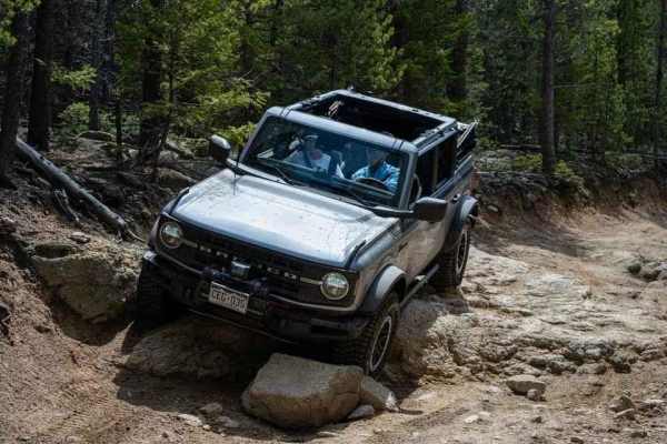
Bunce School Road
Bunce School Road is a moderate trail that can run with high clearance 4x4 vehicles. Most of the trail is mild and can be done in 2wd with 32" tires. There are some sections, especially on the lollipop loop section, where both front and rear lockers were used and I scraped skid plates with 35" tires...
Learn more about Bunce School Road

T-33 Crash Site
The T-33 Crash Site trail is an intense, technical four-wheel-drive route designed for highly experienced drivers looking to test their vehicle's articulation and clearance while exploring a piece of military aviation history in Colorado's Roosevelt National Forest. Starting near Peaceful Valley, th...
Learn more about T-33 Crash Site
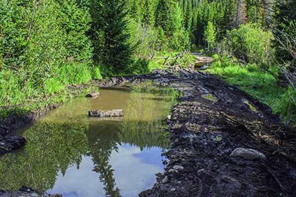
Middle St. Vrain, Coney Flats
The difficult portion of this trail is a rugged, deep water crossing. It can be dangerous and too deep to cross in the spring. There is good camping at Camp Dick Campground as well as some trailside sites along the way. Trail is open from June 15 to October 15.
Learn more about Middle St. Vrain, Coney Flats
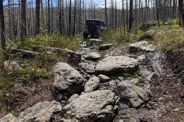
Hurley Road
This trail starts with a few mud holes and a rocky climb that offers great views of the surrounding mountains. In the summer, snowmelt creates a steady flow of water that can make the toughest sections even more difficult. Campsites are limited, but there's a larger spot at the junction of a side tr...
Learn more about Hurley Road
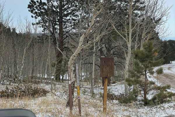
Chipmunk Gulch
Chipmunk Gulch is a short, scenic route near Ward, Colorado, perfect for beginner offroaders and those looking for a quick mountain getaway with great camping. Stretching approximately 0.7 miles through the Arapaho National Forest, this dirt trail sits at an elevation of around 9,000 feet and offers...
Learn more about Chipmunk Gulch
ATV trails near Campion, Colorado
Explore ATV-friendly trails near you. These trails are accessible for vehicles up to 50 inches wide, perfect for ATVs and smaller off-road machines.
Storm Mountain, Bear Gulch
**Currently closed due to rock/mud slide from fire** Check out the side roads, and enjoy some fun terrain on this trail in the Roosevelt National Forest. There is a fun little loop off the east side. Watch for gates and signs during hunting season to avoid hefty penalties. There is some camping avai...
Learn more about Storm Mountain, Bear Gulch
Johnny Park Road
Most of this trail will follow a high ridge with amazing views. Start on the east end for the best camping and easy access to the trail. Unlicensed vehicles are permitted, and this is a popular spot for them as well. There are some good challenging spots to the north towards the end of the trail. If...
Learn more about Johnny Park Road
Pole Hill Road
This trail starts with a steep climb with two options: the left is dirt that has been washed out/dug out, and the right is rocky, but both can be navigated in a stock 4x4. The trail continues with several sections of exposed bedrock where tire placement is important, and skid plates would be benefic...
Learn more about Pole Hill Road
Pierson Park Road
Both sides are open. The southern side is fun for ATVs and UTVs. It is somewhat flat, with camping available along the route. You'll be in the trees for the most part, but check out the views when you get to the high points. There are some fun side roads to explore, including those around Peirson Pa...
Learn more about Pierson Park Road
UTV/side-by-side trails near Campion, Colorado
Find UTV and side-by-side trails near you. These trails accommodate vehicles up to 60 inches wide, ideal for UTVs, side-by-sides, and wider off-road rigs.
Storm Mountain, Bear Gulch
**Currently closed due to rock/mud slide from fire** Check out the side roads, and enjoy some fun terrain on this trail in the Roosevelt National Forest. There is a fun little loop off the east side. Watch for gates and signs during hunting season to avoid hefty penalties. There is some camping avai...
Learn more about Storm Mountain, Bear Gulch
Johnny Park Road
Most of this trail will follow a high ridge with amazing views. Start on the east end for the best camping and easy access to the trail. Unlicensed vehicles are permitted, and this is a popular spot for them as well. There are some good challenging spots to the north towards the end of the trail. If...
Learn more about Johnny Park Road
Pole Hill Road
This trail starts with a steep climb with two options: the left is dirt that has been washed out/dug out, and the right is rocky, but both can be navigated in a stock 4x4. The trail continues with several sections of exposed bedrock where tire placement is important, and skid plates would be benefic...
Learn more about Pole Hill Road
Pierson Park Road
Both sides are open. The southern side is fun for ATVs and UTVs. It is somewhat flat, with camping available along the route. You'll be in the trees for the most part, but check out the views when you get to the high points. There are some fun side roads to explore, including those around Peirson Pa...
Learn more about Pierson Park Road
The onX Offroad Difference
onX Offroad combines trail photos, descriptions, difficulty ratings, width restrictions, seasonality, and more in a user-friendly interface. Available on all devices, with offline access and full compatibility with CarPlay and Android Auto. Discover what you're missing today!
Open Trail Map