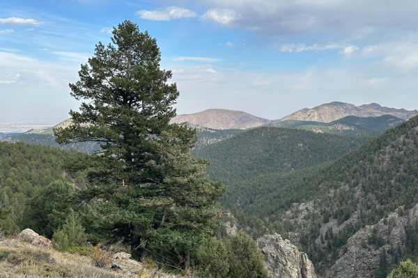
Miller Rock Road

Total Miles1.7
Technical Rating
6Moderate
Best TimeSummer, Fall
Trail TypeFull-Width Road
Accessible By
Open Trail Map

Trail Overview

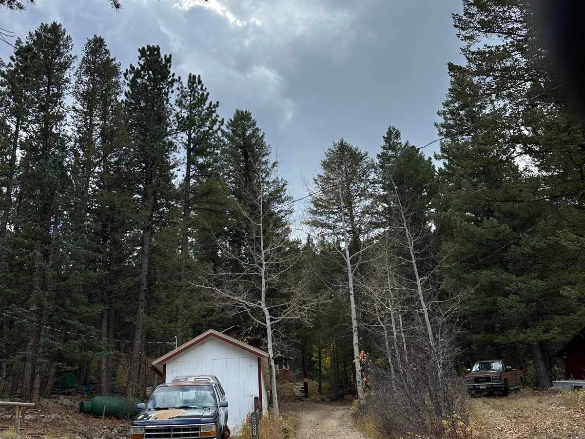
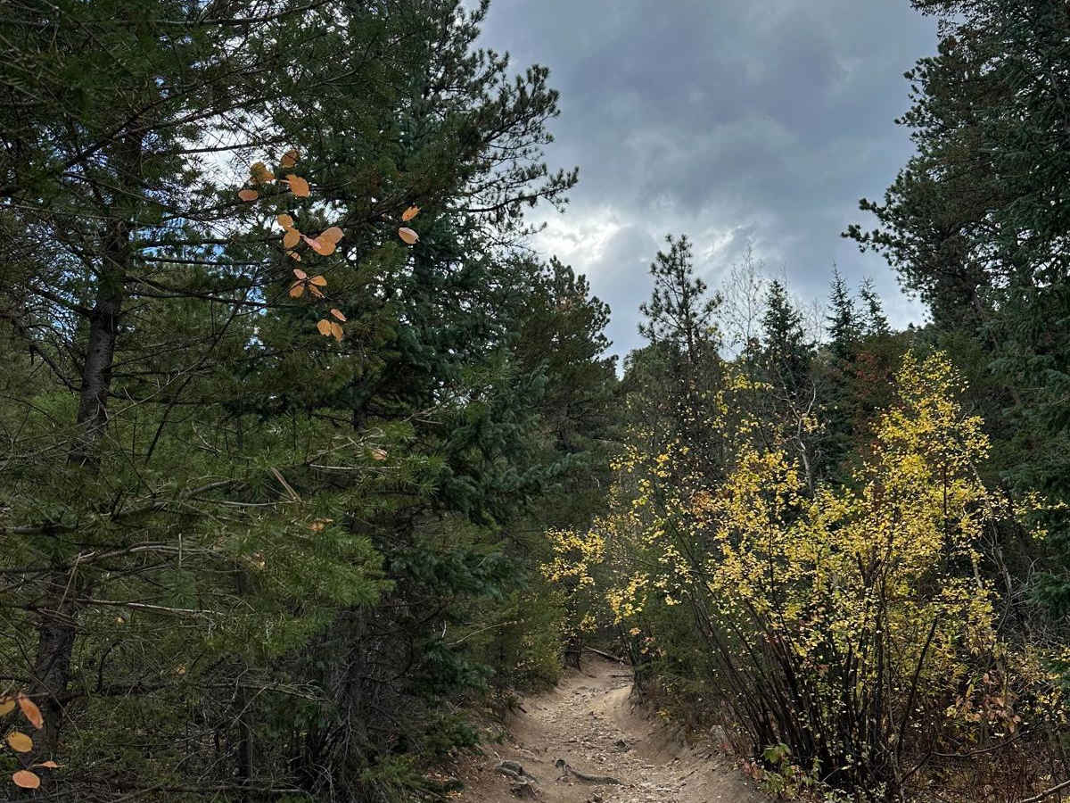
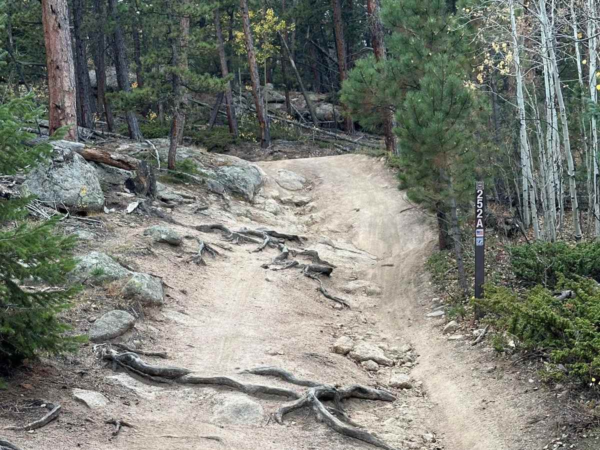
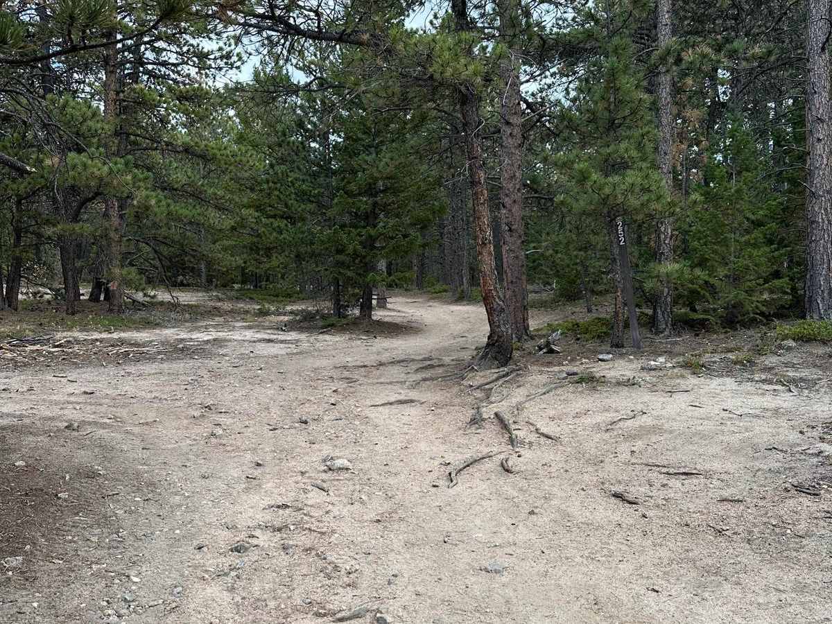
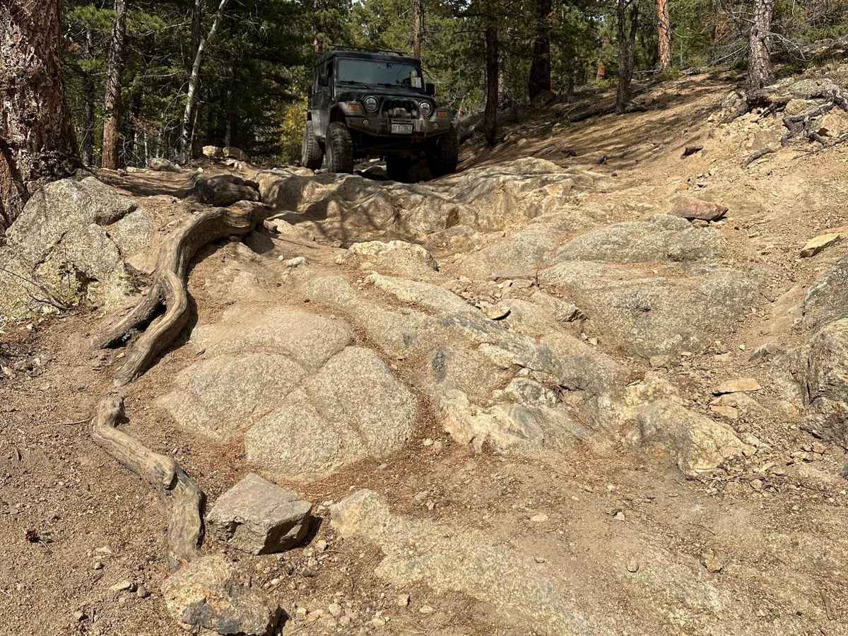
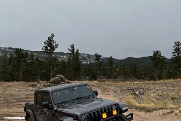
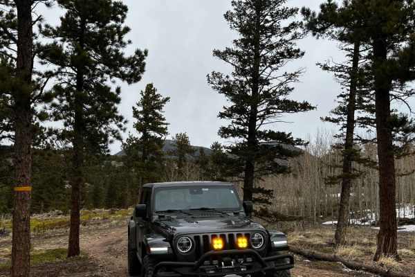
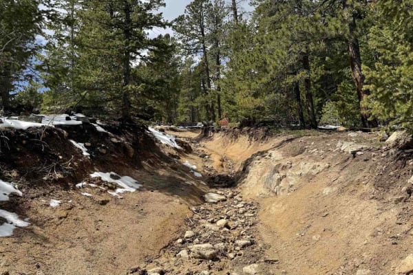
Miller Rock Road is an out-and-back trail that starts off of the south side of Riverside Driveuns along Middle Street Vrain Creek. The trail primarily consists of dirt and gravel with many rocks and boulders to crawl over. It is mostly forested, with some areas of tight trees that could be tricky for full-size trucks and SUVs to navigate, but with patience and careful driving, you can make it. The first .5 mile of the trail consists of some of the more difficult terrain and will give you an idea of the technicality you will be dealing with. At about 1.5 miles in, there is a notable obstacle of large boulders to go over. There is a bypass around the boulders, but it requires a very sharp turn at the end that may necessitate multiple point turns along a steep slope. The trail is blocked by a locked gate, which makes this an out-and-back route; there is a convenient loop before reaching the gate that makes turning around easy.

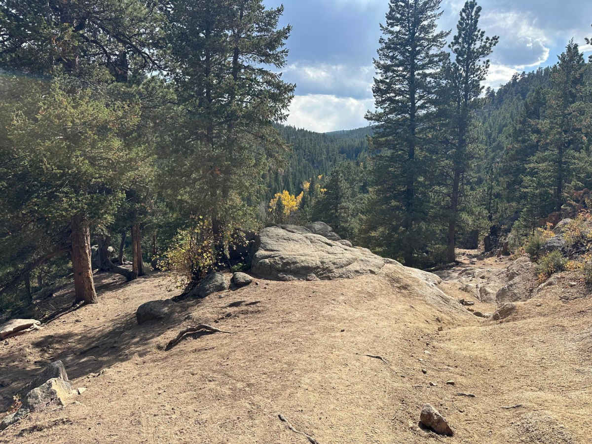
Photos of Miller Rock Road

Difficulty

This trail has many rocks and roots with short steep climbs. There is a short technical section of boulders on a steep slope that levels up this trail rating.

Technical Rating

6

Status Reports

Add Status Report
Emery Seyller
Sep 01, 2025
Open
Out & back only. Appears to connect to other exits on the map, but it doesn’t. This trail gets right to it. From the road you drive up in between two residences, no staging area, and not many places to pull off or turn around in the first section. I would air down before leaving the pavement because of that. If you have a lifted vehicle this trail shouldn’t be too hard. definitely gets very flexy in some spots. Shorter wheelbases will have an easier time at some points, where longer ones may want a spotter. The obstacle at the very end of the trail (south east side) is the toughest. it has a bypass that is probably equally as tough, as it’s basically a cramped 7-point turn on a cliff edge. That’s the only “high consequence” part of the trail if you are inexperienced. There’s also two offshoot trails that are more of the same, i took the west one towards miller rock and it was fun. the unmarked trails in the area can get very tight, however. wouldn’t recommend using those.
John Romadka
Jul 16, 2025
Open
Patrick Mcmahon
Jun 24, 2025
Open
Super fun, went on a Tuesday so it was empty, couple hard parts, first obstacle and last are both pretty epic. Will definitely lift a wheel or two if your not driving a crazy rig, dig it on an xj on 33s and a stock Tacoma
John Gibson
May 25, 2025
Open
Good out and back. Grandson had fun on adventure. :-) saw a few hikers and it started raining while heading back out. A few interesting challenges with some bypasses. On back side heading down to the turn around, a spotter really helps. Decent trail conditions.
Tim Sheehan
May 07, 2025
Open
very slippery. bronco sliding about. got to the 2nd 180⁰ degree turn. decided that turning around was better than falling down into the crevice. there may have been a little brown stain caused by the slipping.
Clay Brubaker
Apr 13, 2025
Open

Miller Rock Road Trail can be accessed by the following ride types:

  • Single Track
  • High Clearance
  • Full Width

Miller Rock Road Map

The onX Offroad Difference

onX Offroad combines trail photos, descriptions, difficulty ratings, width restrictions, seasonality, and more in a user-friendly interface. Available on all devices, with offline access and full compatibility with CarPlay and Android Auto. Discover what you're missing today!

Open Trail Map