Trail Overview
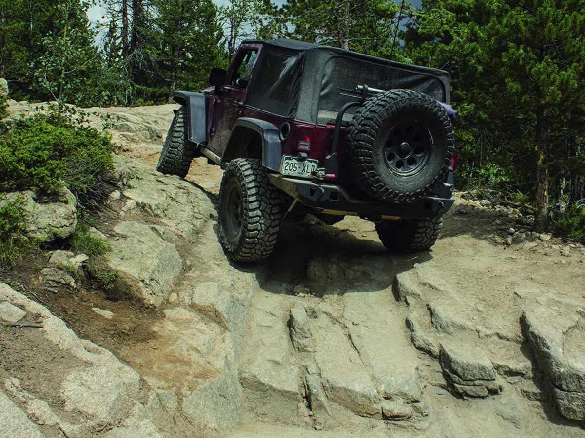
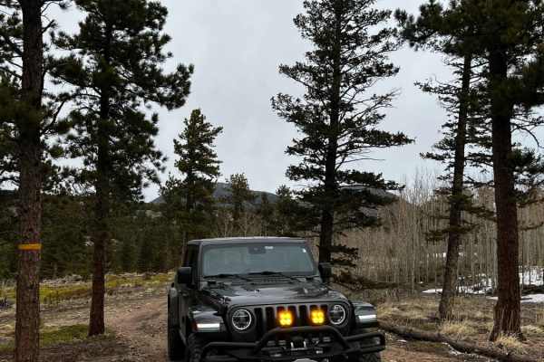
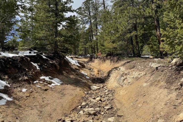
The T-33 Crash Site trail is an intense, technical four-wheel-drive route designed for highly experienced drivers looking to test their vehicle's articulation and clearance while exploring a piece of military aviation history in Colorado's Roosevelt National Forest. Starting near Peaceful Valley, this rugged 2.9-mile trail climbs from an elevation of 8,581 feet to a peak of 9,348 feet, demanding serious attention from the very start. The terrain is defined by large embedded boulders, loose rock gardens, and tight, off-camber maneuvers through dense pine trees that will challenge even well-built rigs. To successfully navigate these obstacles, vehicles should be equipped with a minimum of 35-inch tires, a short wheelbase, and at least a rear locking differential to maintain traction on the steep, uneven grades.
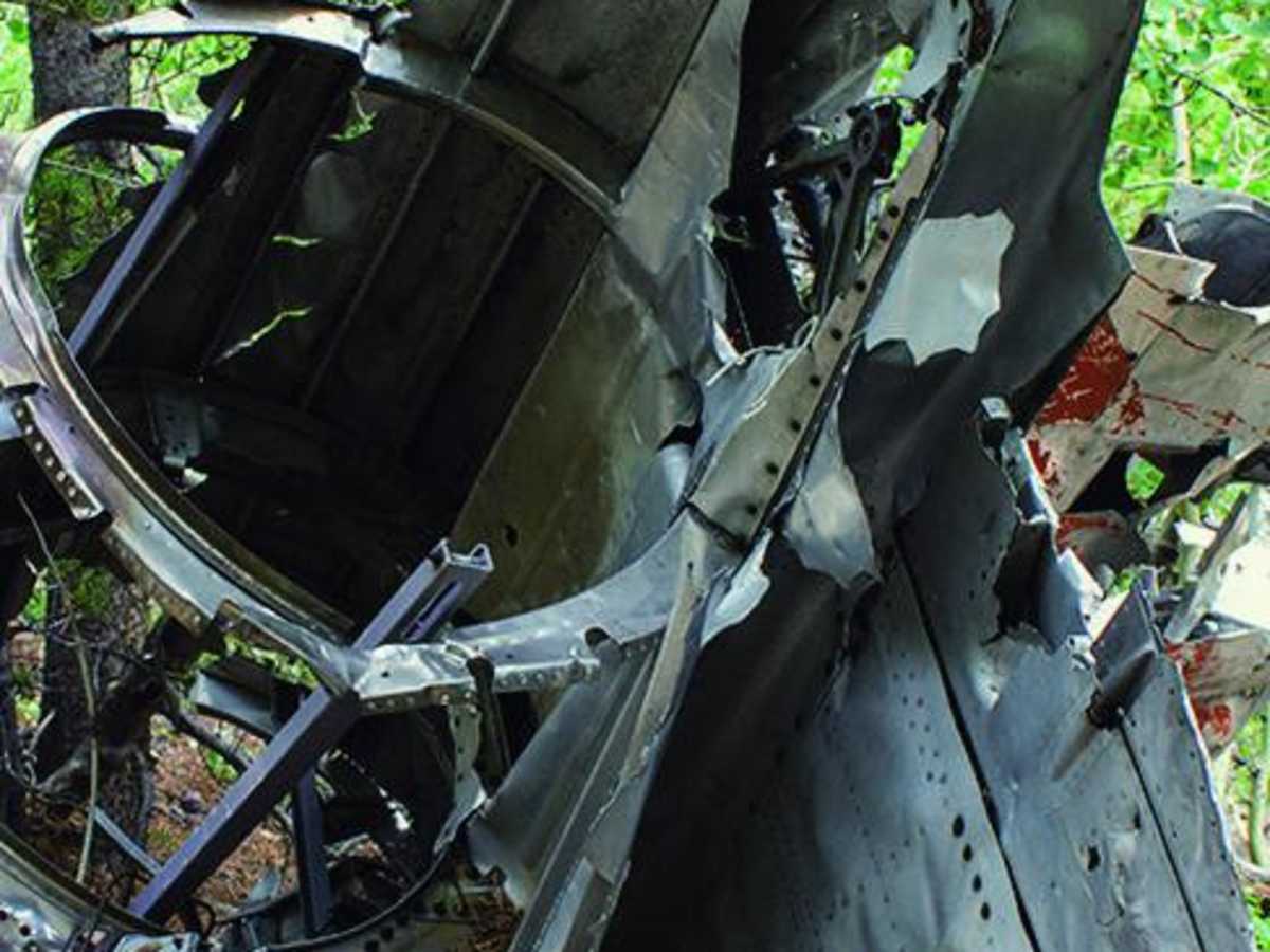
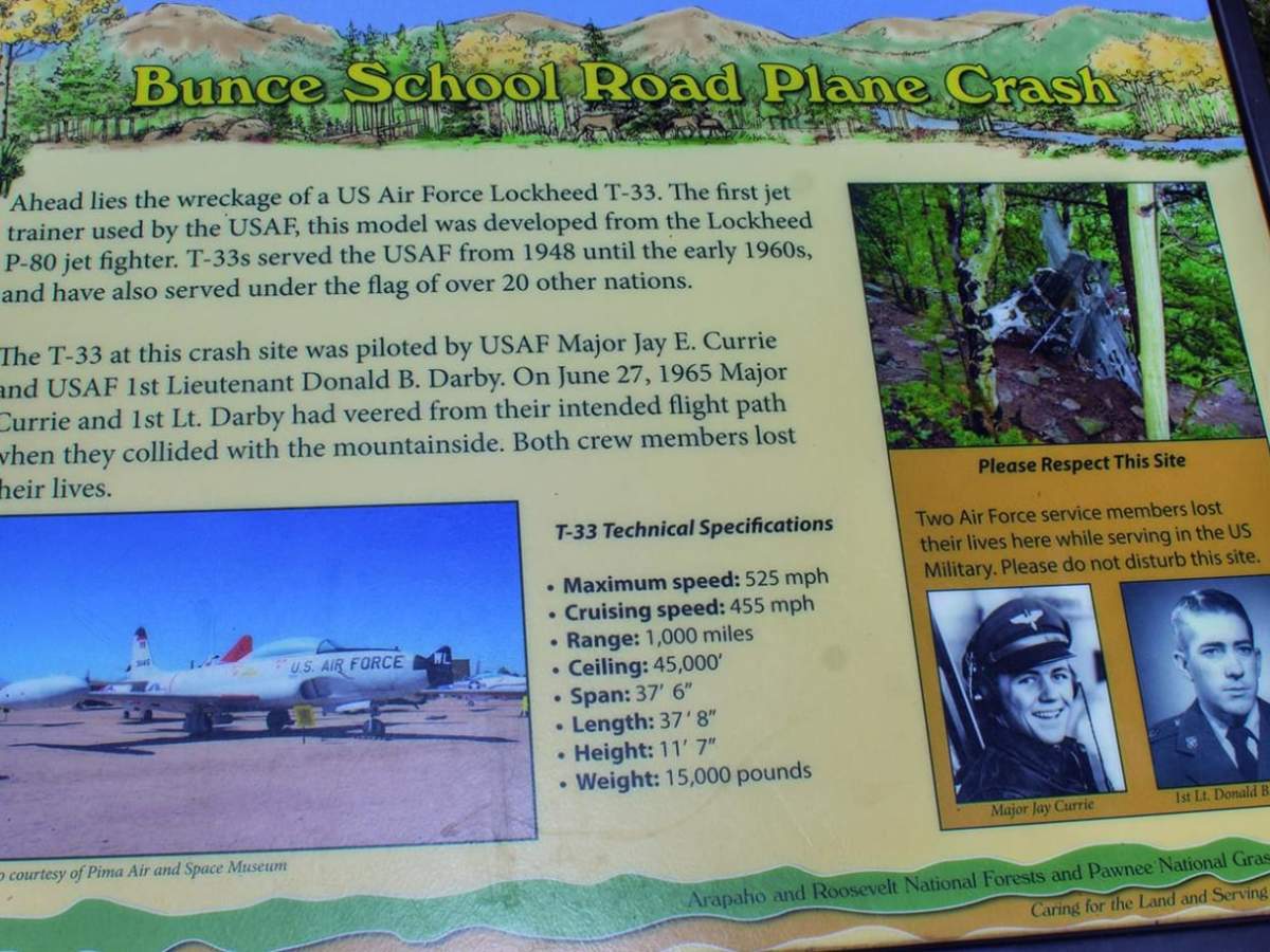
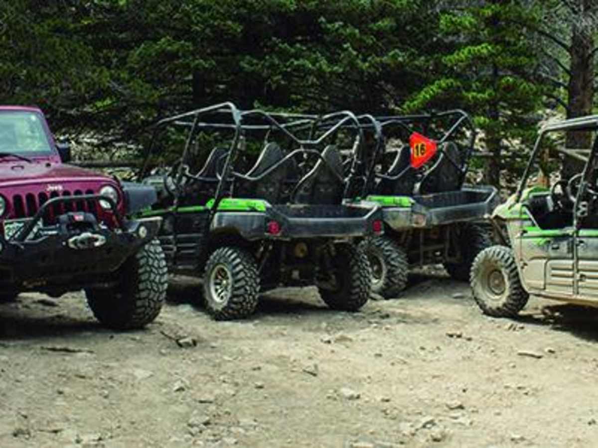
Beyond the technical driving, the trail is most famous for leading directly to the debris field of a 1965 US Air Force T-33 Shooting Star trainer jet that crashed on the mountainside. The route is typically open from June 15 to November 15, though high-altitude snow can linger late into the spring or arrive early in the autumn. Navigating this trail requires patience and careful spotting, particularly when maneuvering through tight tree lines and over slick rock obstacles. There are only a few spots along the single-lane route to pull over and let oncoming traffic pass, making communication with other trail users essential. Unlicensed vehicles can access the trailhead from C.R. 92 near Peaceful Valley Campground, or offroaders can combine this run with Bunce School Road for an extended day of adventure.
History
On June 27, 1965, a US Air Force T-33 Shooting Star trainer jet crashed on the slopes of the mountain. Both crew members ejected safely before the impact, leaving behind the wreckage that remains scattered near the end of the trail today as a historic monument.




 Offroad