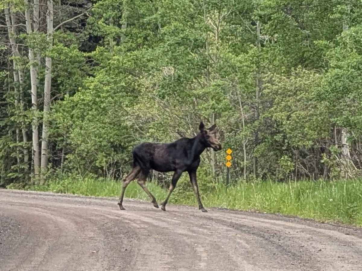
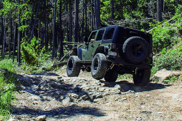
Trail Overview
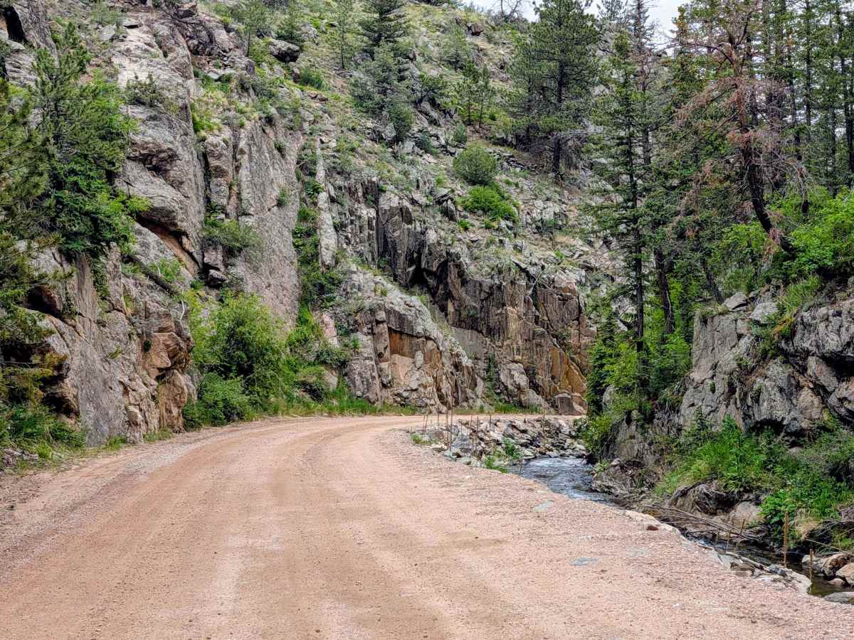
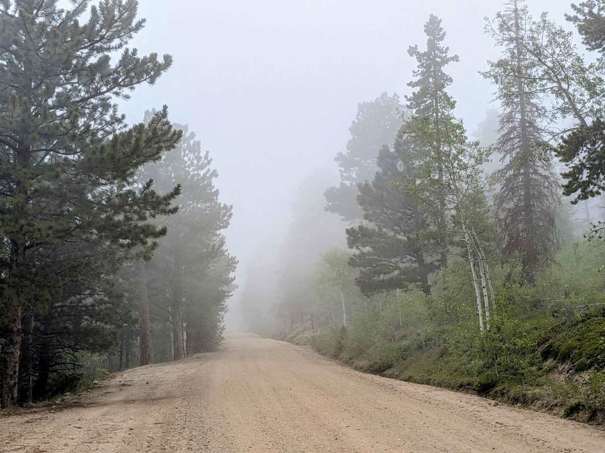
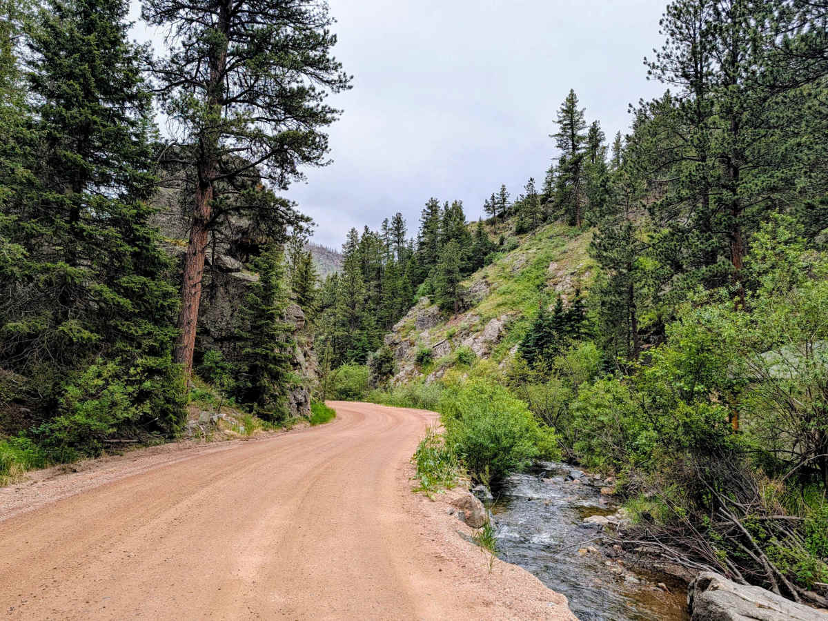
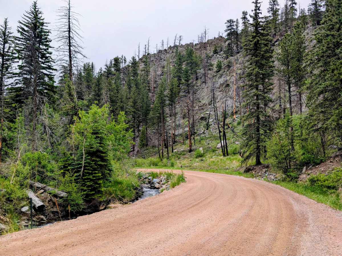
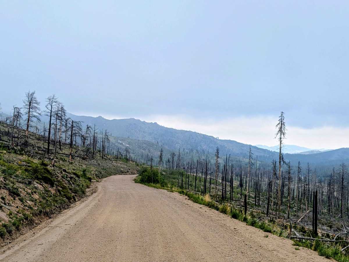
Buckhorn Road (Larimer County Road 44H) is a highly scenic dirt route that serves as a major connector between the Stove Prairie area and Pingree Park Road. Heading east to west, the trail gently climbs through Buckhorn Canyon, following a creek through thick pine and aspen forests up to the 9,163-foot summit of Pennock Pass, where you get sweeping views of the mountains. This trail also passes through portions of the Cameron Peak Fire burn scar.
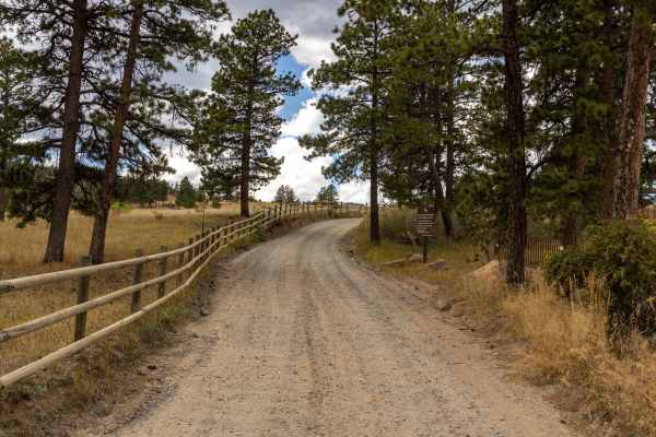
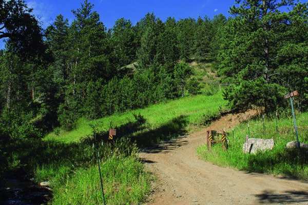
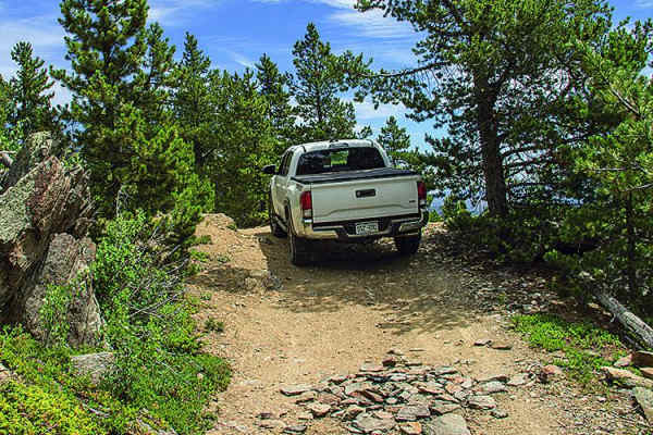
For the most part, it is a smooth, wide, and relaxing drive, which changes on the western end. The final five miles approaching the Pingree Park Road junction are a bit rougher. The trail tightens up significantly in several spots, and you will encounter some sharp, tight switchback corners, but nothing at all challenging. These final five miles are also not maintained during the winter. Along the route, you will pass the historic Buckhorn Ranger Station and plenty of dispersed camping options off the main trail, making it a great overland cruise and a perfect jumping-off point for deeper trails. Be aware that you pass through several sections of private property dotted along the trail.
Difficulty
The majority of the trail is a fully maintained, graded road that standard two-wheel-drive vehicles can handle comfortably in dry conditions. The final five miles approaching Pingree Park Road gets rougher and the trail narrows a bit. There are several switchbacks that narrow and you have to watch for people cutting corners. The final five miles up to Pingree Park are not maintained during the winter, that section of the route could become impassable once deep snow sets in.