
Beginner Off-Road Trails
Near Webster Springs, West Virginia
Explore All Beginner Trails Near Webster Springs, West Virginia
Beginner Off-Road Trails Near Webster Springs, West Virginia
Discover the best beginner-friendly off-road trails near you. These easier, lower-rated trails are a great place to start — browse trail maps, check difficulty ratings, and find your next adventure.
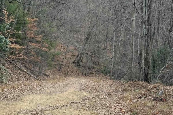
Spruce Run Road
This is an excellent CR trail in Nicholas County West Virginia. The whole trip takes less than an hour. The trail ends in Clay County West Virginia or you can turn around and reverse the trip. This is a county route that goes through a leased hunting property. Stay on this main road. Do NOT take any...
Learn more about Spruce Run Road
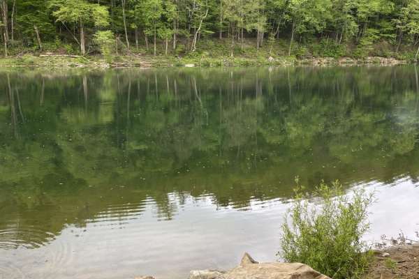
Nile Road to Gauley River
This is a short but fun little trail leading from Nile Road in Persinger, West Virginia, to the Gauley River. During the downhill journey, you will see some of the finest of colors during prime season that West Virginia has to offer. Although a short journey at just a little over a mile, the end is ...
Learn more about Nile Road to Gauley River
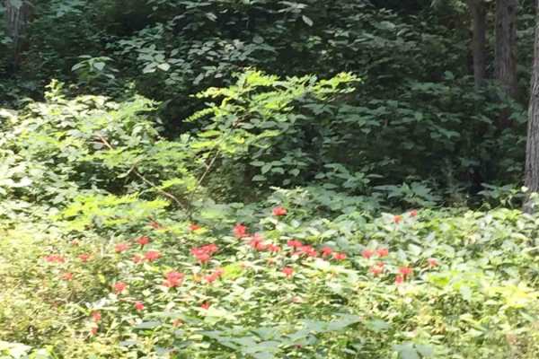
Trans American Trail WV
Some of the West Virginia TAT. Started in Marlington WV and went to Williams River, Planned on going all the way to Sutton WV but due to flood damage part of this trail is expected to be closed until 2023.History of the TAT The Trans America Trail is the cross-country adventure ride of a lifetime wi...
Learn more about Trans American Trail WV
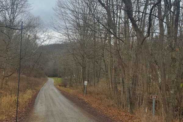
Stillhouse Run Road (FS304)
This Monongahela National Forest Road shares an entrance with Monday Lick Road (FS1002), just south of the town of Marlinton, West Virginia. It follows the Stillhouse Run Creek up to its headwaters above the Greenbriar River. It is a fairly well-maintained dirt forest road with a few small offshoots...
Learn more about Stillhouse Run Road (FS304)
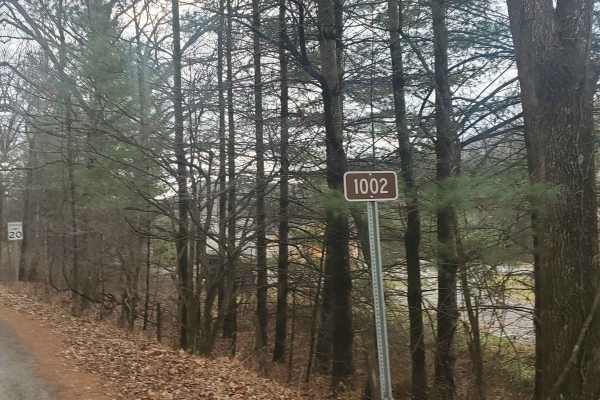
Monday Lick Rd (FS1002)
This forest road goes through part of the Monongahela National Forest and is an easy drive for any truck, small SUV, 4x4, or SxS. Beginning across the street from Stillwell Park, it shares an entrance with Stillwater Run Road (FS 304) but makes an immediate right fork following the Greenbriar River ...
Learn more about Monday Lick Rd (FS1002)
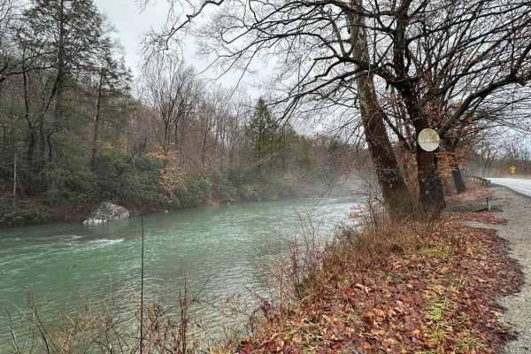
Beans Mill
Start this route in Buckhannon by taking WV-20 south to Sago Road for 5 miles. This section is paved but scenic, running alongside the emerald-hued Buckhannon River. The road transitions to dirt and gravel. At Big Bend Church (38.88129, -80.21359), take the road perpendicular to the parking lot call...
Learn more about Beans Mill
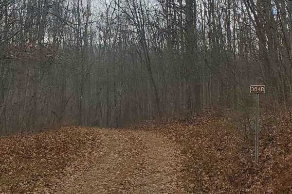
FS304B
This trail is an offshoot of Stillhouse Run Road (FS304). It is poorly, if at all maintained, and downed trees and overgrown limbs cut the trail short of what is shown as available on the map. SxS, dirt bikes, and ATVs may be able to complete the full length of the trail, but a saw would be required...
Learn more about FS304B

Mower East
This a seasonal route that runs from the outskirts of Cass, WV across the mountain to Cheat Bridge. The higher elevation is dominated by dense spruce forest, moss, and ferns. The route is a maintained gravel surface with smooth sweeping turns. The route has very few dispersed camping opportunities. ...
Learn more about Mower East
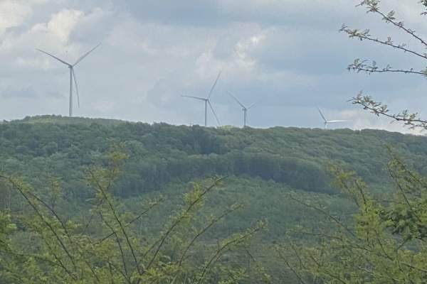
Nettie to Richwood
If you like dirt roads, this place is for you--it's miles upon miles of dirt/gravel roads. This route takes about 3.5 hours over almost 40 miles of some of the prettiest country Nicholas County, West Virginia, has to offer. Along these trails, you will more than likely see about every wild animal th...
Learn more about Nettie to Richwood

Old Mine
This is a maintained gravel Forest Service route that travels from the Cheat Bridge area to US 250. This section was once a large strip. It passes along the Cheat River and then up in elevation with scenic views. The road is mostly maintained gravel with some mud and rocky areas. Several sediment po...
Learn more about Old Mine

Glady Durbin
Glady Durbin is a scenic access road that runs right along the West Fork Greenbriar River and offers stunning picnic, fishing, and camping opportunities along the trail. This trail connects the towns of Durbin and Glady, West Virginia. From the start of the trail, there is no gas station for about 4...
Learn more about Glady Durbin
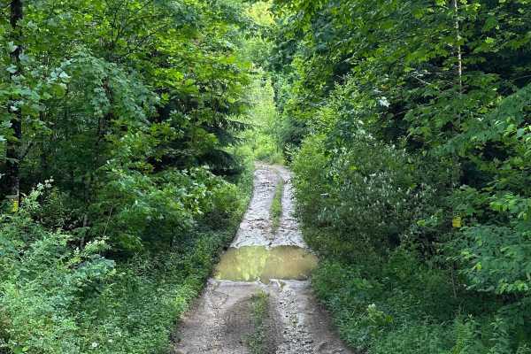
Long Run
This trail can be run in either direction, but this description starts from the north end at the following coordinates: 38.91771, -80.08878. There’s Civil War battle history regarding the bridge that crossed the Middle Fork River in 1861. Please note that this track combines several country roads ad...
Learn more about Long Run
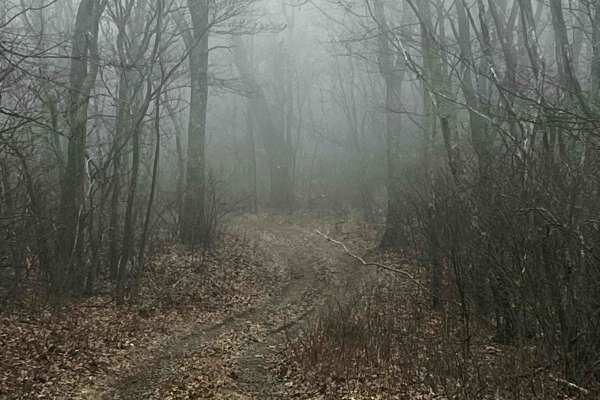
Allegheny
This route is a decently maintained forest service road that runs through Monongahela National Forest. At least a dozen or more dispersed campaigning sites are along the route. You will also find a Paddy Knob fire lookout tire. Even with a cell booster, cell service is virtually nonexistent along th...
Learn more about Allegheny
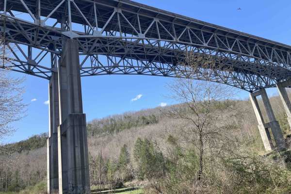
Meadow & Gauley Rivers Access Trail
This trail was developed from old railroad tracks, making it perfect for various activities. There are plenty of primitive camping sites along the river. There are two old railroad tunnels and multiple railroad bridges you can cross and hike, bike, drive, or ride to. There is plenty of swimming acce...
Learn more about Meadow & Gauley Rivers Access Trail
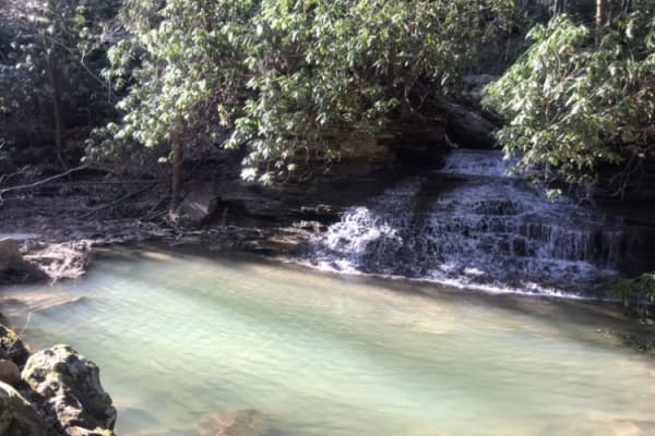
Panther Mountains
This is a gravel road along The Gauley River National Rec Area. It has access to Gauley river, and multiple hiking trails including the stairway to heaven, multiple water crossings and beautiful waterfalls. This is a great area for camping along the river. Remember to take out what you bring in.
Learn more about Panther Mountains
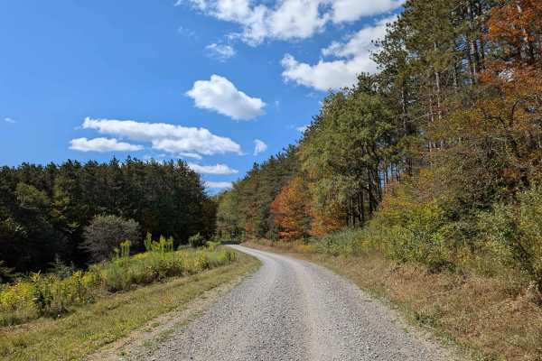
Long Run
The Long Run Trail connects State Highway 28 with Forest Road 106, offering a scenic and accessible route through the landscape. As it winds its way along marshy lowlands, travelers are treated to sweeping views of seasonal foliage. In autumn, the vibrant leaves create a colorful backdrop for the jo...
Learn more about Long Run
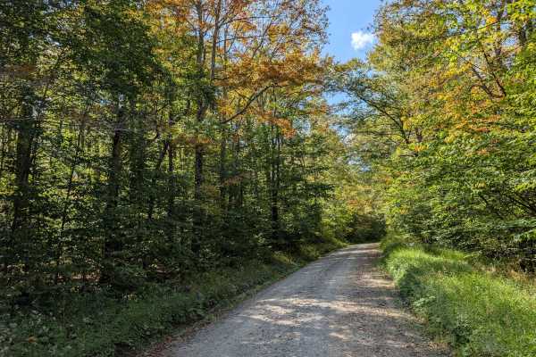
Middle Mountain
The Middle Mountain Trail provides a scenic and relatively easy route connecting the southern border of the Laurel Fork Wilderness to the intersection with Forest Road 17. Along the trail, travelers pass through several lush, forested areas, offering a peaceful, nature-rich experience. The trail's g...
Learn more about Middle Mountain
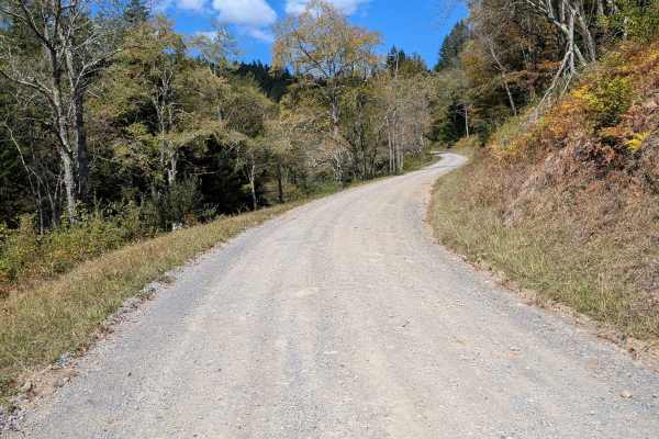
Little River Connector
The Little River Connector links the Elkins Road to River Road, bypassing Forest Service roads closed in summer. Just a 15-minute drive, it provides direct vehicle access to the southern border of Laurel Fork. This short route ensures reliable seasonal access when other roads are restricted, improvi...
Learn more about Little River Connector
Snake Island to Cavendish
The trail is easy and can be made by any stock 4x4 vehicle with adequate ground clearance. What makes this trail significant and worthy of a ride is it runs along the Meadow River which brought lumber into the town of Rainelle, WV on one end of the trail, and the other end is located where General R...
Learn more about Snake Island to Cavendish
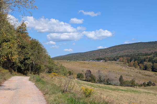
Owl Knob Hollow Connector
The Owl Knob Hollow Connector Trail follows the West Virginia–Virginia state line within the George Washington and Jefferson National Forests. This trail not only highlights the rugged beauty of the borderlands but also provides important access to the Locust Springs area, making it a valuable route...
Learn more about Owl Knob Hollow Connector
Beginner ATV trails near Webster Springs, West Virginia
Explore ATV-friendly trails near you. These trails are accessible for vehicles up to 50 inches wide, perfect for ATVs and smaller off-road machines.
Nile Road to Gauley River
This is a short but fun little trail leading from Nile Road in Persinger, West Virginia, to the Gauley River. During the downhill journey, you will see some of the finest of colors during prime season that West Virginia has to offer. Although a short journey at just a little over a mile, the end is ...
Learn more about Nile Road to Gauley River
Stillhouse Run Road (FS304)
This Monongahela National Forest Road shares an entrance with Monday Lick Road (FS1002), just south of the town of Marlinton, West Virginia. It follows the Stillhouse Run Creek up to its headwaters above the Greenbriar River. It is a fairly well-maintained dirt forest road with a few small offshoots...
Learn more about Stillhouse Run Road (FS304)
Monday Lick Rd (FS1002)
This forest road goes through part of the Monongahela National Forest and is an easy drive for any truck, small SUV, 4x4, or SxS. Beginning across the street from Stillwell Park, it shares an entrance with Stillwater Run Road (FS 304) but makes an immediate right fork following the Greenbriar River ...
Learn more about Monday Lick Rd (FS1002)
Beans Mill
Start this route in Buckhannon by taking WV-20 south to Sago Road for 5 miles. This section is paved but scenic, running alongside the emerald-hued Buckhannon River. The road transitions to dirt and gravel. At Big Bend Church (38.88129, -80.21359), take the road perpendicular to the parking lot call...
Learn more about Beans Mill
Beginner UTV/side-by-side trails near Webster Springs, West Virginia
Find UTV and side-by-side trails near you. These trails accommodate vehicles up to 60 inches wide, ideal for UTVs, side-by-sides, and wider off-road rigs.
Nile Road to Gauley River
This is a short but fun little trail leading from Nile Road in Persinger, West Virginia, to the Gauley River. During the downhill journey, you will see some of the finest of colors during prime season that West Virginia has to offer. Although a short journey at just a little over a mile, the end is ...
Learn more about Nile Road to Gauley River
Stillhouse Run Road (FS304)
This Monongahela National Forest Road shares an entrance with Monday Lick Road (FS1002), just south of the town of Marlinton, West Virginia. It follows the Stillhouse Run Creek up to its headwaters above the Greenbriar River. It is a fairly well-maintained dirt forest road with a few small offshoots...
Learn more about Stillhouse Run Road (FS304)
Monday Lick Rd (FS1002)
This forest road goes through part of the Monongahela National Forest and is an easy drive for any truck, small SUV, 4x4, or SxS. Beginning across the street from Stillwell Park, it shares an entrance with Stillwater Run Road (FS 304) but makes an immediate right fork following the Greenbriar River ...
Learn more about Monday Lick Rd (FS1002)
Beans Mill
Start this route in Buckhannon by taking WV-20 south to Sago Road for 5 miles. This section is paved but scenic, running alongside the emerald-hued Buckhannon River. The road transitions to dirt and gravel. At Big Bend Church (38.88129, -80.21359), take the road perpendicular to the parking lot call...
Learn more about Beans Mill
The onX Offroad Difference
onX Offroad combines trail photos, descriptions, difficulty ratings, width restrictions, seasonality, and more in a user-friendly interface. Available on all devices, with offline access and full compatibility with CarPlay and Android Auto. Discover what you're missing today!
Open Trail Map