
Beginner Off-Road Trails
Near Townsend, Wisconsin
Explore All Beginner Trails Near Townsend, Wisconsin
Beginner Off-Road Trails Near Townsend, Wisconsin
Discover the best beginner-friendly off-road trails near you. These easier, lower-rated trails are a great place to start — browse trail maps, check difficulty ratings, and find your next adventure.

FS 3391
FS 3391 begins at its intersection with Cathedral Drive and navigates to the northern side of Archibald Lake. This trail meets up with FR 3304A at roughly the one-mile mark. The remainder of the trail is a there-and-back style trail. This is a very narrow two-track dirt trail with lots of branches, ...
Learn more about FS 3391

FS 3304A
FS 3304A is a short spur road that navigates from Forest Road 3391 to Presbyterian Road. This trail is an excellent way to make Trail 3391 a point-to-point-style trail. The trail is a very narrow dirt two track trial surrounded by dense and overgrown forest. There is a good amount of small elevation...
Learn more about FS 3304A

Cathedral Drive
Cathedral Drive begins at its intersection with Archibald Lake Road and navigates to its intersection with Presbyterian Rd. This trail is well-maintained but is narrow for the first mile heading northwest. There are small turn-offs every several hundred feet to allow vehicles to pass. Located roughl...
Learn more about Cathedral Drive

FS 2262B
FS 2262B travels from its start point at its intersection with FS 2294 to its end point at the intersection with FS 2262. This is a rugged two-track forest road, which is mostly unmaintained. The trail surface is mostly dirt with some short sections of sand mixed throughout. The trail has several lo...
Learn more about FS 2262B
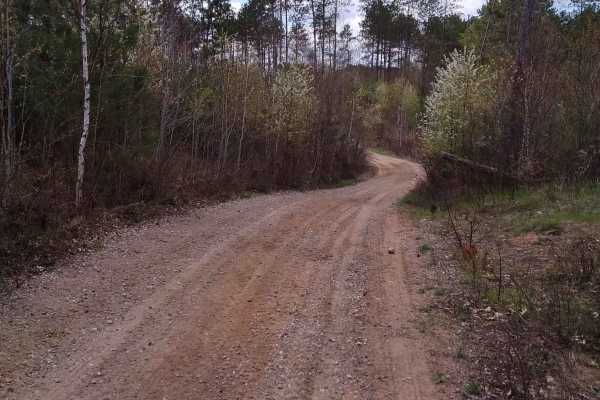
Wildwood Trail/Partridge Trail
The Wildwood Trail and Partridge Trail offer an engaging off-road adventure for riders of all skill levels, showcasing tight, twisty forested terrain just north of Townsend and Lakewood. This sixteen-mile route can be integrated with adjacent paths to form three distinct loops, providing a customiza...
Learn more about Wildwood Trail/Partridge Trail

Saul Springs Road - FS 2336
Saul Springs Road, FS 2336 begins at its intersection with County Highway T, and navigates to its intersection with Rose Lake Road FS 2283, and Jones Spring Lane FS 2283. This is a large, moderately maintained Forest Road which provides access to countless trails in this region. This area of the Nic...
Learn more about Saul Springs Road - FS 2336
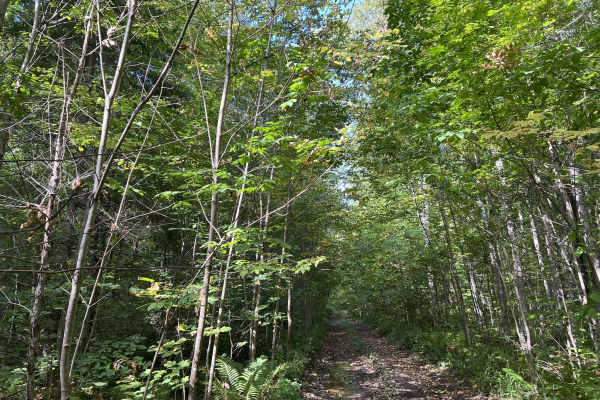
FS 2349B
FS 2349B is a seasonal use trail open from 9-1 to 11-30. This is a rugged dirt two-track trail that runs along the North Branch Oconto River. This trail has many mud holes ranging from hard bottom and shallow to soft bottom and deep. The depths of these will typically range from 2-12 inches in depth...
Learn more about FS 2349B
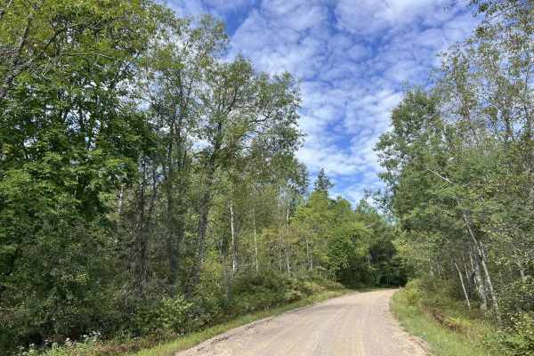
Knowles Creek Road - FS 2349
Knowles Creek Road - FS 2349 is a large gravel forest service road that runs from where the paved portion of Knowles Creek Rd ends at the intersection with Dumman Lane to County Road C. This is a wide, two-lane gravel forest road. The surface is a mix of loose and hard-packed gravel; this makes the ...
Learn more about Knowles Creek Road - FS 2349
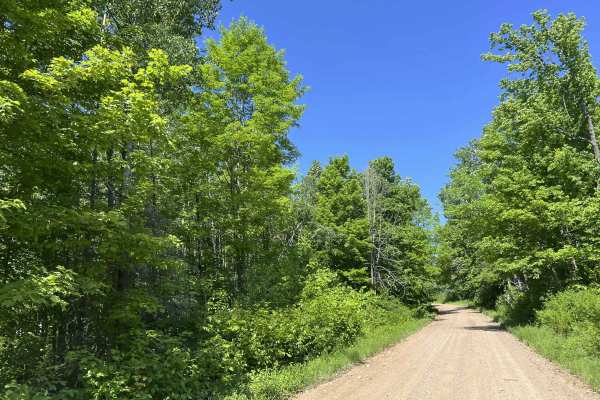
Diamond Roof Road - FS 2123
Diamond Roof Road - FS 2123 is a roughly 12-mile-long gravel route that navigates from its intersection with Sawyer Lake Road to its intersection with State Highway 32. This is a moderately maintained gravel forest road. The trail is wide enough for two vehicles in most areas, but like most forest r...
Learn more about Diamond Roof Road - FS 2123

Forest Road 2073
This trail in the Chequamegon-Nicolet National Forest offers a scenic view with many twists and turns. The winding trail is tight and narrow, offering room for one off-road vehicle at a time, making it difficult to pass oncoming traffic. Many large ruts are muddy and can become mud holes with recent...
Learn more about Forest Road 2073
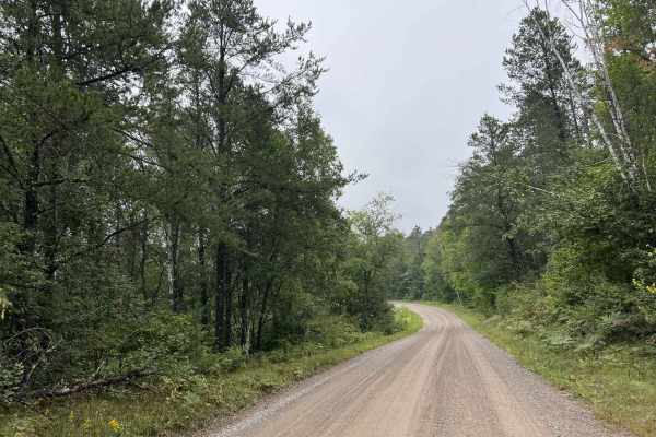
FS 2141
FS 2141 is a well-maintained large gravel forest road that runs from Knowles Creek Road to County Road C. This is a multi-use trail open to road-legal vehicles, as well as off-road vehicles like ATVs and SxS's. This trail is well maintained and has a firm gravel base. Sight lines around the trail ar...
Learn more about FS 2141
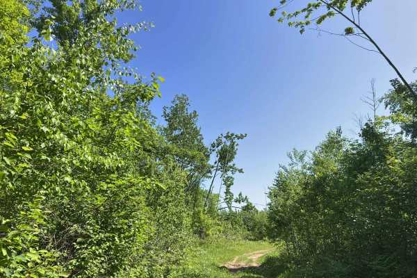
FS 2336BA/AAA
Forest Road 2336BA/AAA is an alternative route for 2336AA and 2956A. Adding some extra distance, as well as mild difficulty in comparison to the section of trail that is bypassed. This trail begins at its intersection with 2336B, and navigates to its intersection with 2336AA. The trail has several m...
Learn more about FS 2336BA/AAA
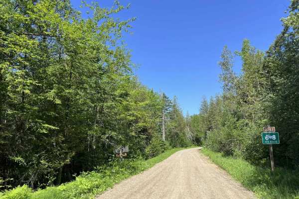
FS 2283
Forest Service Road 2283 is a moderately maintained gravel road that navigates from its intersection with FS 2336 and Saul Springs Road to its intersection with FS 2122. This trail is wide enough for two vehicles to safely navigate past each other in most areas. However, the dense trailside and unde...
Learn more about FS 2283

Saul Springs Road
This portion of Saul Springs Road navigates from its intersection with Rose Lake Road FS 2336 to its intersection with FS 2118. This section of the trail, like the majority of Saul Springs Road, is a moderately maintained gravel road and provides access to many more remote and rugged trails within t...
Learn more about Saul Springs Road

Forest Road 2249
Forest Road 2249 in the Chequamegon-Nicolet National Forest offers an easy yet slow-paced trail. This trail is rocky with small hills and a couple of curves throughout. The trail is enclosed by large trees providing shade while on the trail. This trail is multi-use; be aware of other vehicles utiliz...
Learn more about Forest Road 2249
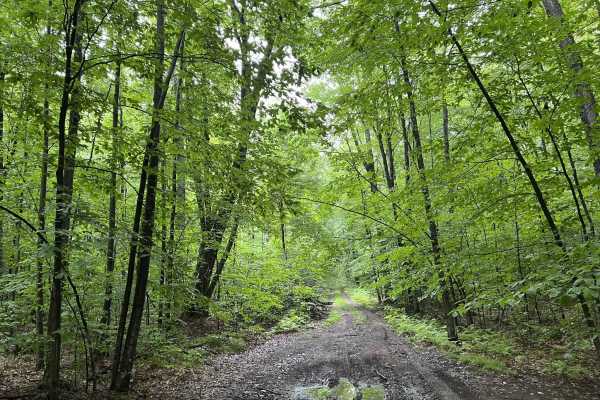
FS 2673
FS 2673 is an out-and-back-style trail which stars at its intersection with Forest Road 2141. This two-track dirt trail navigates along the southeasterly face of one of the large hills located in the MCCaslin Mountain State Natural Area. This results in a trail with semi-rugged terrain, as well as e...
Learn more about FS 2673

Perch Lake Lane
This trail offers a great mix of terrain for the area, including steep hills, dirt, sand, mud, and loose softball-sized rocks. Along the route is beautiful Perch Lake, a 12-acre lake with a maximum depth of about 10 feet. The only practical way to access the water is by kayak or another small hand-l...
Learn more about Perch Lake Lane
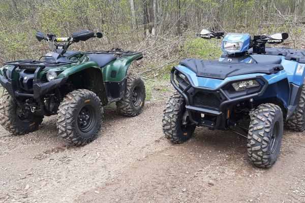
Great Bear Trail
There are a variety of dirt, sand, and gravel routes through forest roads that span from this route. It winds along a few small lakes through Oconto County. The trail runs from Lakewood south through the mountain area and wraps up close to Boulder Lake with a few route alternatives if you want to ex...
Learn more about Great Bear Trail
FS 2316
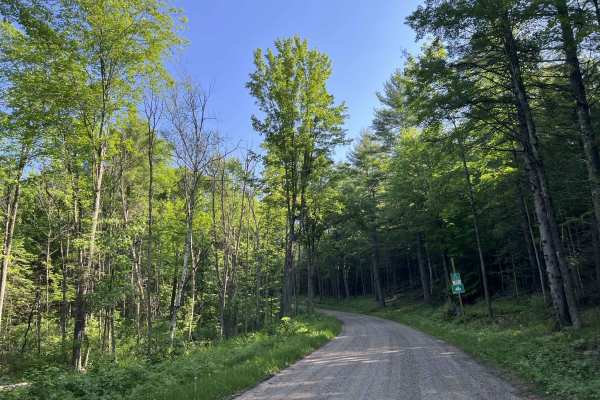
Forest Service Road 2316 begins at its intersection with County Highway W and travels north to its intersection with State Highway 64. This trail is a moderately maintained forest road that has a loose gravel base and is wide enough for two vehicles to comfortably pass each other at speed in most ar...
Learn more about FS 2316

Camp 1 Road - FS 2361
This trail runs through the western edge of Marinette County into Forest County. The trail consists of a primarily gravel base with some spots of sand mixed throughout, it is one and a half vehicle widths wide for its entire length. There are several other trails, and trail systems that cross, or ha...
Learn more about Camp 1 Road - FS 2361
Beginner ATV trails near Townsend, Wisconsin
Explore ATV-friendly trails near you. These trails are accessible for vehicles up to 50 inches wide, perfect for ATVs and smaller off-road machines.
Wildwood Trail/Partridge Trail
The Wildwood Trail and Partridge Trail offer an engaging off-road adventure for riders of all skill levels, showcasing tight, twisty forested terrain just north of Townsend and Lakewood. This sixteen-mile route can be integrated with adjacent paths to form three distinct loops, providing a customiza...
Learn more about Wildwood Trail/Partridge Trail
Saul Springs Road - FS 2336
Saul Springs Road, FS 2336 begins at its intersection with County Highway T, and navigates to its intersection with Rose Lake Road FS 2283, and Jones Spring Lane FS 2283. This is a large, moderately maintained Forest Road which provides access to countless trails in this region. This area of the Nic...
Learn more about Saul Springs Road - FS 2336
Knowles Creek Road - FS 2349
Knowles Creek Road - FS 2349 is a large gravel forest service road that runs from where the paved portion of Knowles Creek Rd ends at the intersection with Dumman Lane to County Road C. This is a wide, two-lane gravel forest road. The surface is a mix of loose and hard-packed gravel; this makes the ...
Learn more about Knowles Creek Road - FS 2349
Diamond Roof Road - FS 2123
Diamond Roof Road - FS 2123 is a roughly 12-mile-long gravel route that navigates from its intersection with Sawyer Lake Road to its intersection with State Highway 32. This is a moderately maintained gravel forest road. The trail is wide enough for two vehicles in most areas, but like most forest r...
Learn more about Diamond Roof Road - FS 2123
Beginner UTV/side-by-side trails near Townsend, Wisconsin
Find UTV and side-by-side trails near you. These trails accommodate vehicles up to 60 inches wide, ideal for UTVs, side-by-sides, and wider off-road rigs.
Wildwood Trail/Partridge Trail
The Wildwood Trail and Partridge Trail offer an engaging off-road adventure for riders of all skill levels, showcasing tight, twisty forested terrain just north of Townsend and Lakewood. This sixteen-mile route can be integrated with adjacent paths to form three distinct loops, providing a customiza...
Learn more about Wildwood Trail/Partridge Trail
Saul Springs Road - FS 2336
Saul Springs Road, FS 2336 begins at its intersection with County Highway T, and navigates to its intersection with Rose Lake Road FS 2283, and Jones Spring Lane FS 2283. This is a large, moderately maintained Forest Road which provides access to countless trails in this region. This area of the Nic...
Learn more about Saul Springs Road - FS 2336
Knowles Creek Road - FS 2349
Knowles Creek Road - FS 2349 is a large gravel forest service road that runs from where the paved portion of Knowles Creek Rd ends at the intersection with Dumman Lane to County Road C. This is a wide, two-lane gravel forest road. The surface is a mix of loose and hard-packed gravel; this makes the ...
Learn more about Knowles Creek Road - FS 2349
Diamond Roof Road - FS 2123
Diamond Roof Road - FS 2123 is a roughly 12-mile-long gravel route that navigates from its intersection with Sawyer Lake Road to its intersection with State Highway 32. This is a moderately maintained gravel forest road. The trail is wide enough for two vehicles in most areas, but like most forest r...
Learn more about Diamond Roof Road - FS 2123
The onX Offroad Difference
onX Offroad combines trail photos, descriptions, difficulty ratings, width restrictions, seasonality, and more in a user-friendly interface. Available on all devices, with offline access and full compatibility with CarPlay and Android Auto. Discover what you're missing today!
Open Trail Map