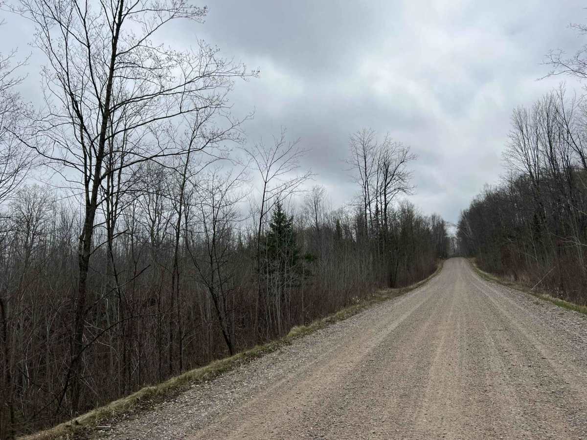
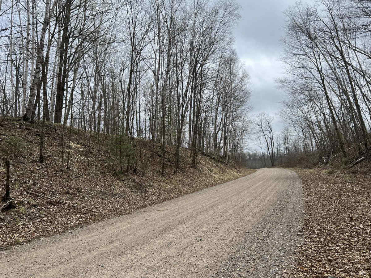
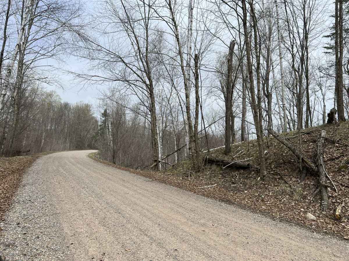
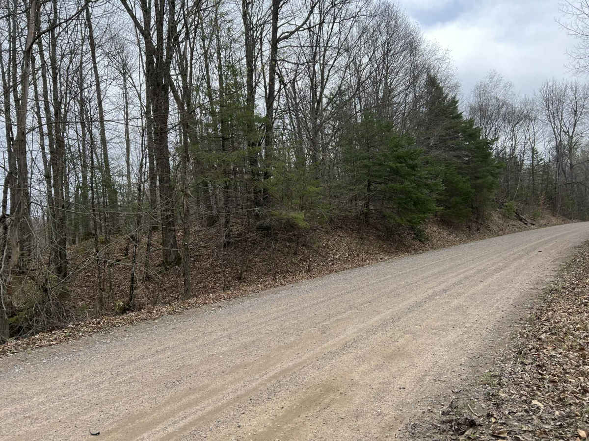
Trail Overview
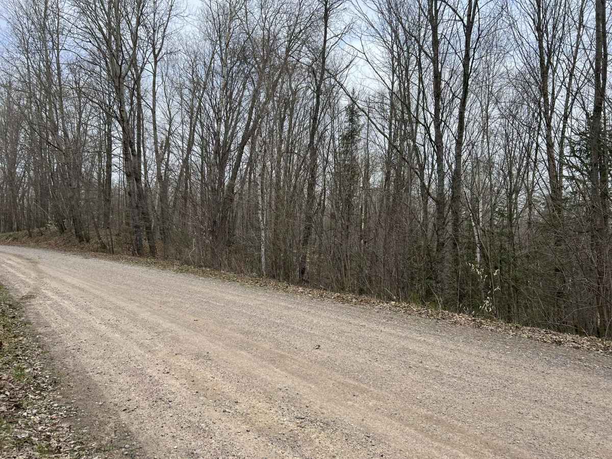
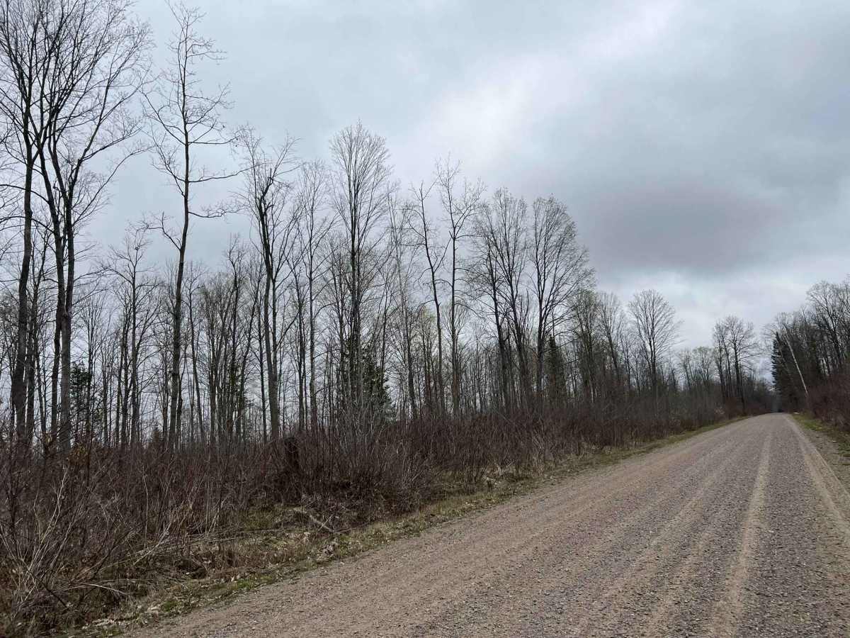
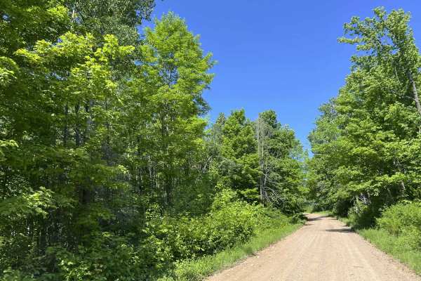
This portion of Saul Springs Road navigates from its intersection with Rose Lake Road FS 2336 to its intersection with FS 2118. This section of the trail, like the majority of Saul Springs Road, is a moderately maintained gravel road and provides access to many more remote and rugged trails within the region. This trail is perfect to quickly access more remote areas of the national forest or to lightly venture into the world of off-roading. The trail is wide, providing room for two vehicles to safely pass each other in most locations. In addition, there is also a moderately sized runoff on either side of the trail, allowing for vehicles to pull over if needed. The scenery around the trail consists of saplings, which dominate the landscape due to recent forestry activity in this region. There are moderate rolling hills and winding corners as the trail follows the natural landscape of the region. Cell service in this area can be spotty in specific areas, causing a loss of service. Traveling with downloaded maps is advised.
Difficulty
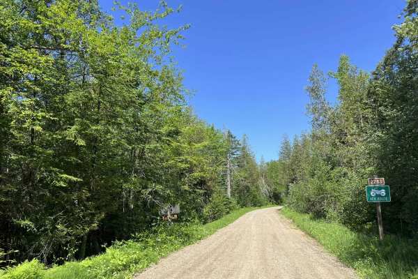
This trail can be completed by all experience levels of riders. The trail is well-maintained by the local towns. Due to the loose gravel, certain parts of the trail can easily push vehicles around during times of extreme drought. In addition, this can also create a considerable amount of dust. The trail has great visibility throughout, as well as semi-maintained ditch lines that could be used to pull off. The trail allows access to both on-road vehicles as well as OHVs, be sure to be aware of surrounding and watch for all vehicle types.