Trail Overview
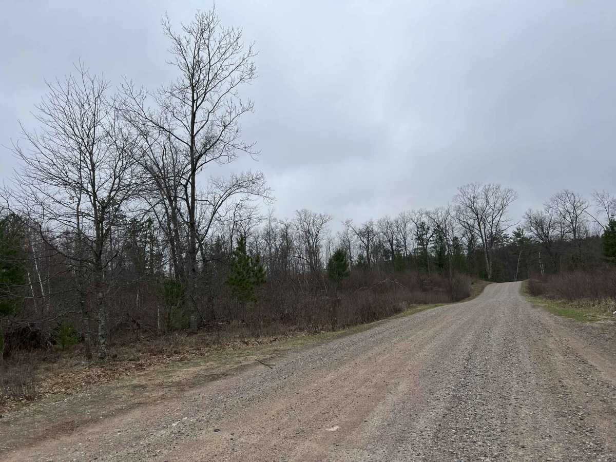
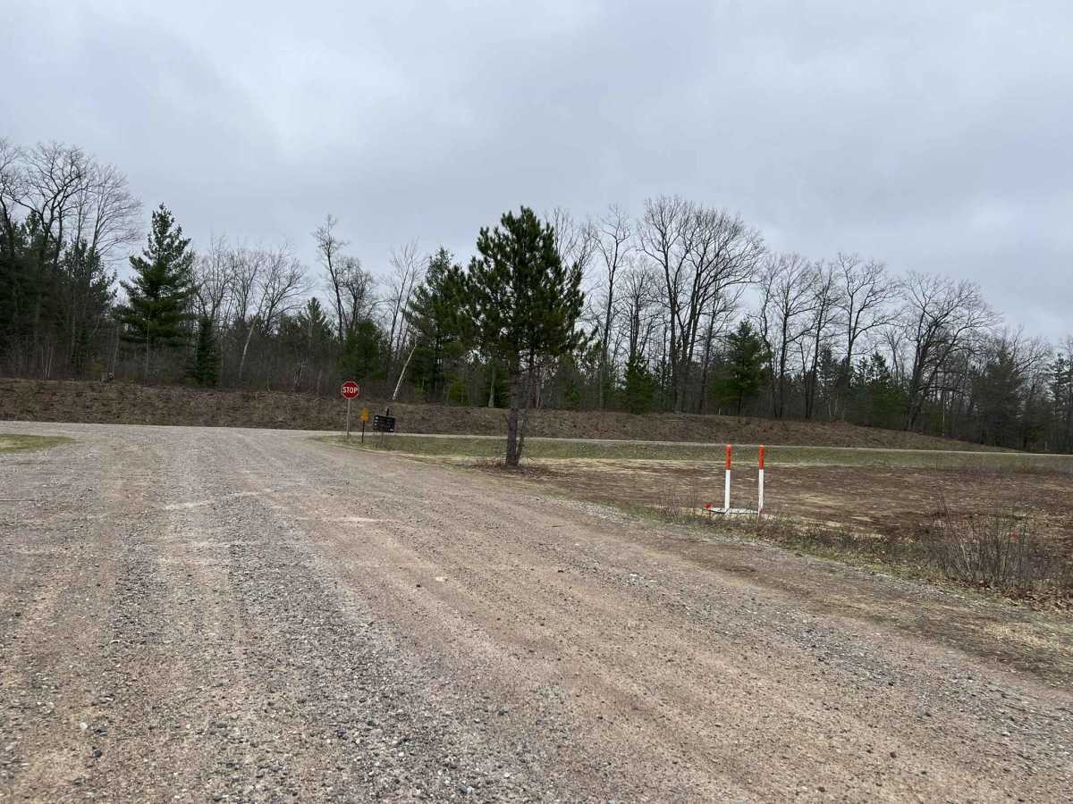
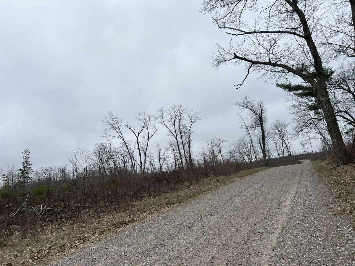
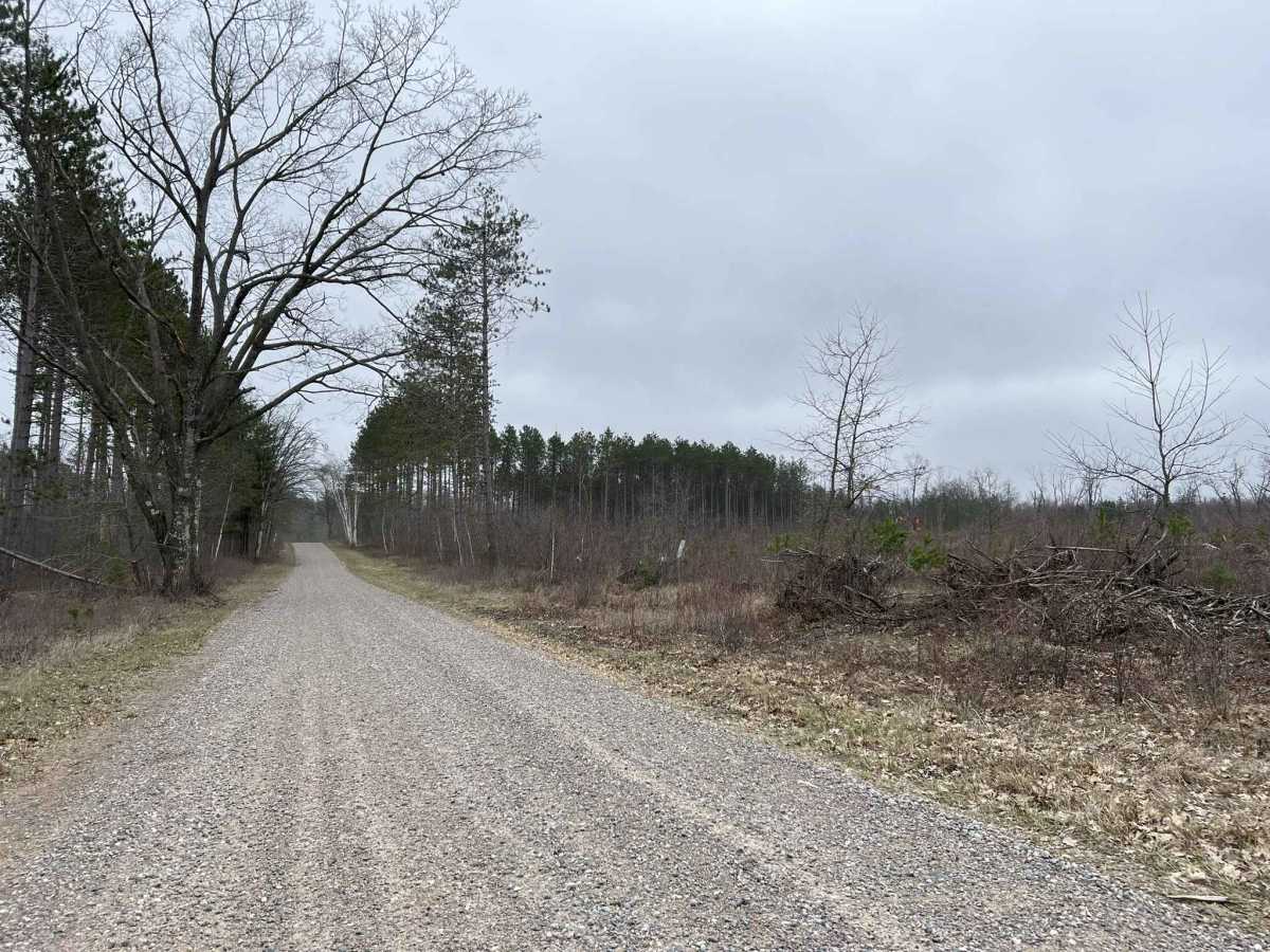
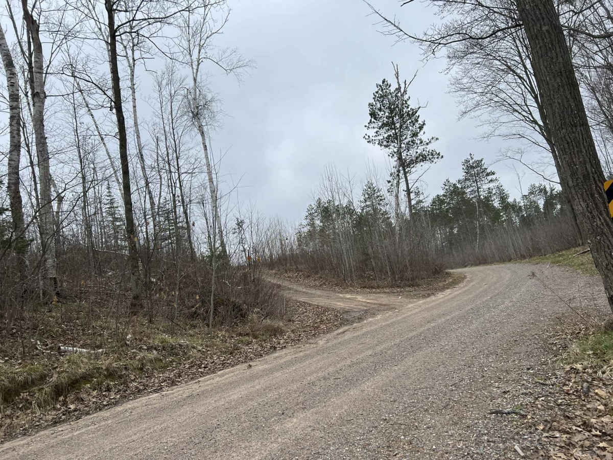
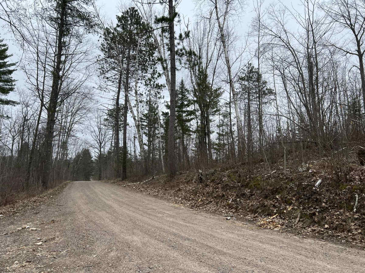
Saul Springs Road, FS 2336 begins at its intersection with County Highway T, and navigates to its intersection with Rose Lake Road FS 2283, and Jones Spring Lane FS 2283. This is a large, moderately maintained Forest Road which provides access to countless trails in this region. This area of the Nicolet National Forest has a large number of rolling hills, which this trail navigates through. As this trail traverses the rolling landscape, it also has a good amount of sweeping corners. The scenery around this trail is mostly clear-cut sections of forest, with some areas having dense coverage of small saplings as the forest regrows. The trail has decent run off on either side, which does not allow for trees or tree limbs to easily reach into the trail. Cell service in this area can be spotty in specific areas, causing a loss of service. Traveling with downloaded maps is advised.
Difficulty
This trail can be completed by all experience levels of riders. The trail is well-maintained by the local towns. Due to the loose gravel, certain parts of the trail can easily push vehicles around during times of extreme drought. In addition, this can also create a considerable amount of dust. The trail has great visibility throughout, as well as semi-maintained ditch lines that could be used to pull off.