Trail Overview
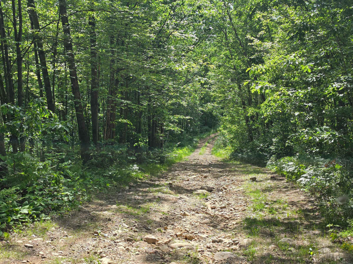
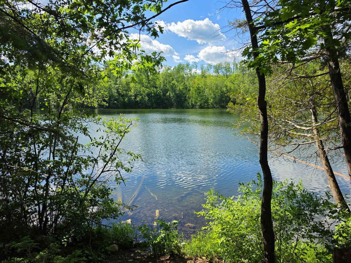
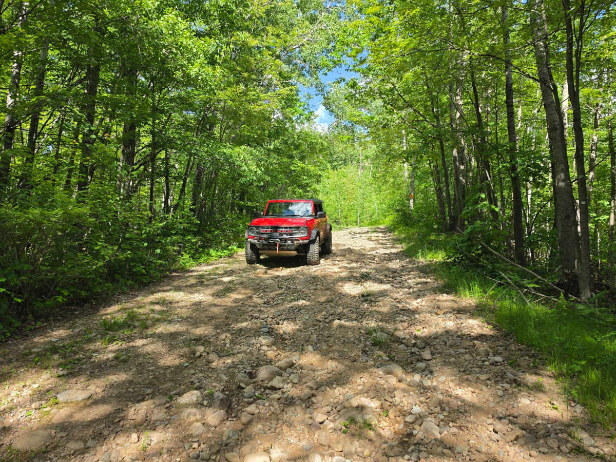
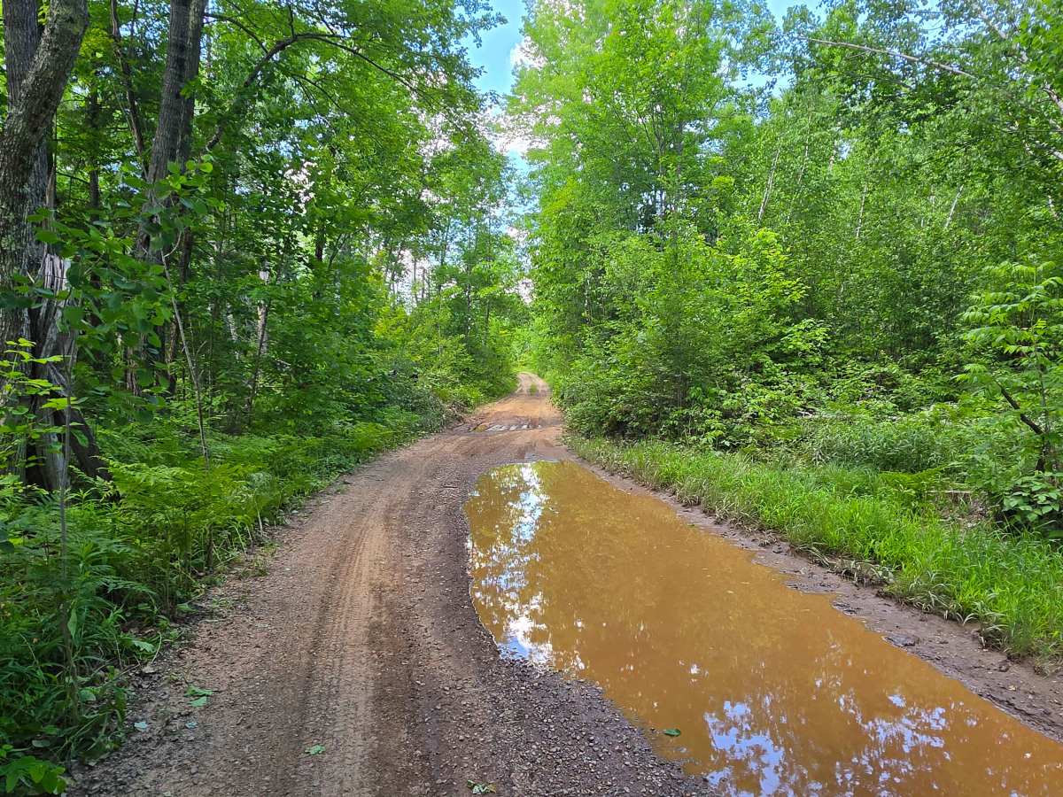
This trail offers a great mix of terrain for the area, including steep hills, dirt, sand, mud, and loose softball-sized rocks. Along the route is beautiful Perch Lake, a 12-acre lake with a maximum depth of about 10 feet. The only practical way to access the water is by kayak or another small hand-launched watercraft. Fishing from shore is limited to a few spots along a walking path.
There is a free dispersed campsite on the hill east of the lake, as well as another campsite on the southern end with roadside parking. Biting flies can be intense from July through mid-August, while mosquito levels are generally average for the area. A pit toilet is available at the eastern campsite.
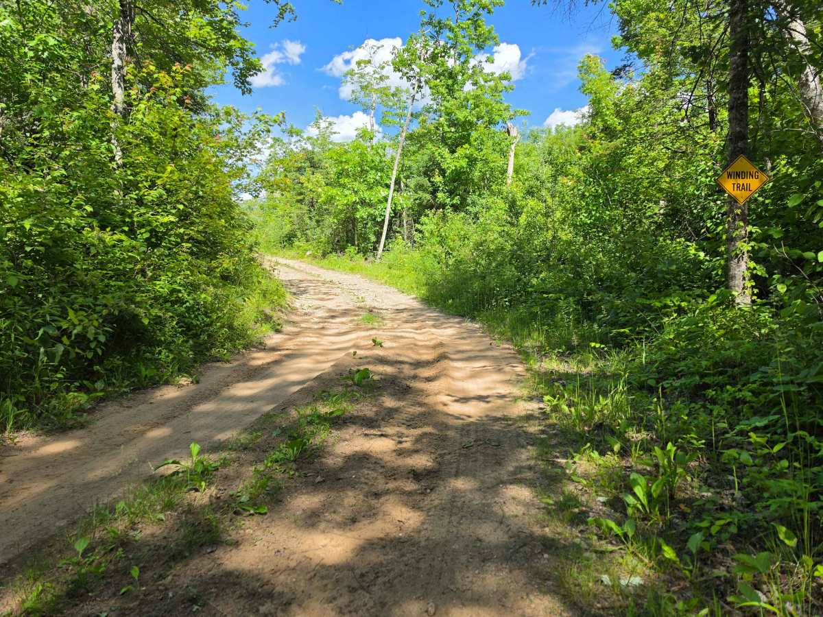
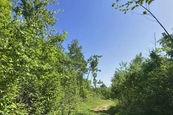
This is one of the hilliest trail systems in the region, and I recommend running it from south to north. Doing so rewards you with a fun climb up to the highest point on the trail. Shortly after the climb, a spur road (FS 2336AA) leads to an excellent overlook with sweeping views of the surrounding area.
The summit appears to have been mostly clear-cut in recent years, although some locals say the opening was created by a tornado. Either way, the unobstructed views make it one of the highlights of the trail.