Trail Overview
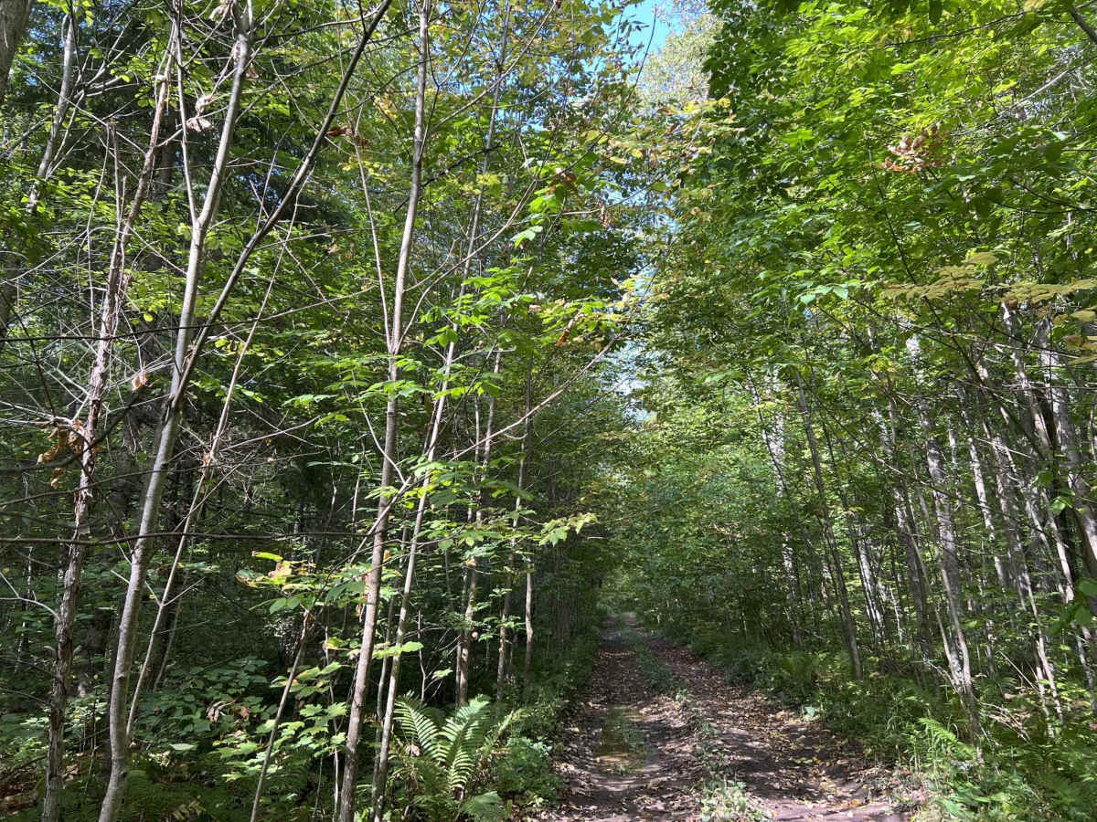
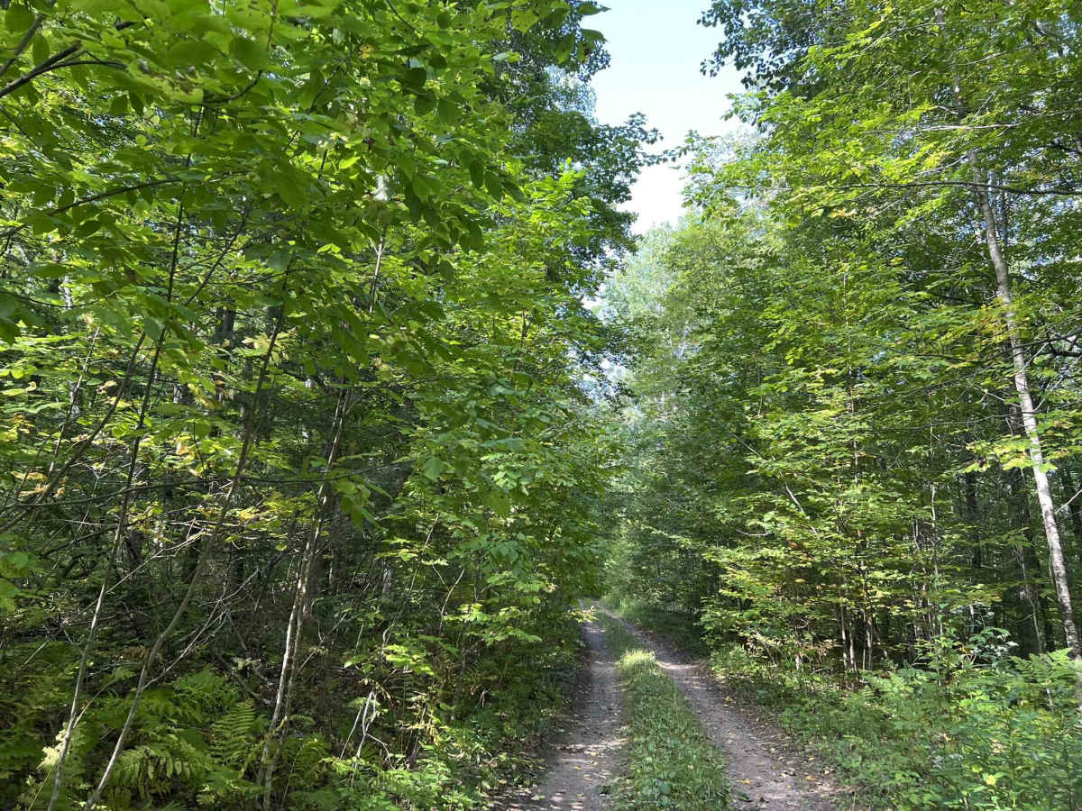
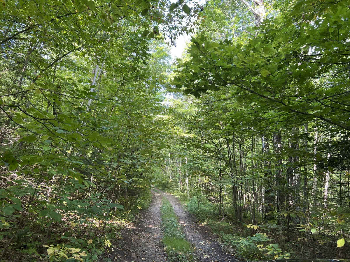
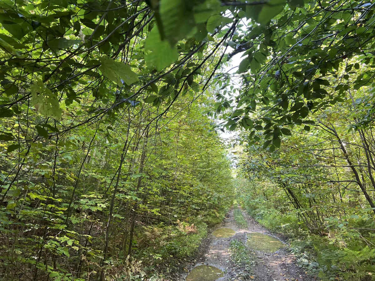
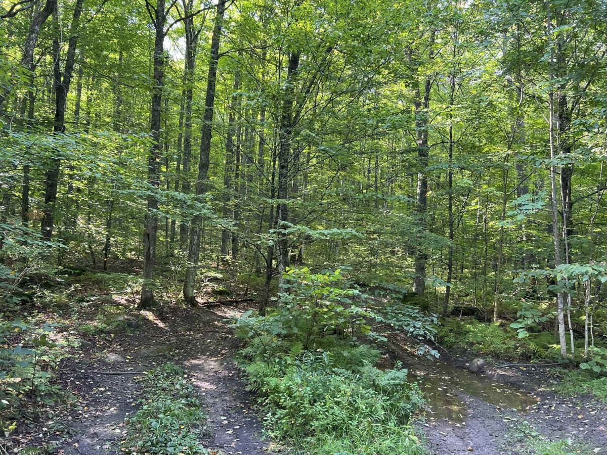
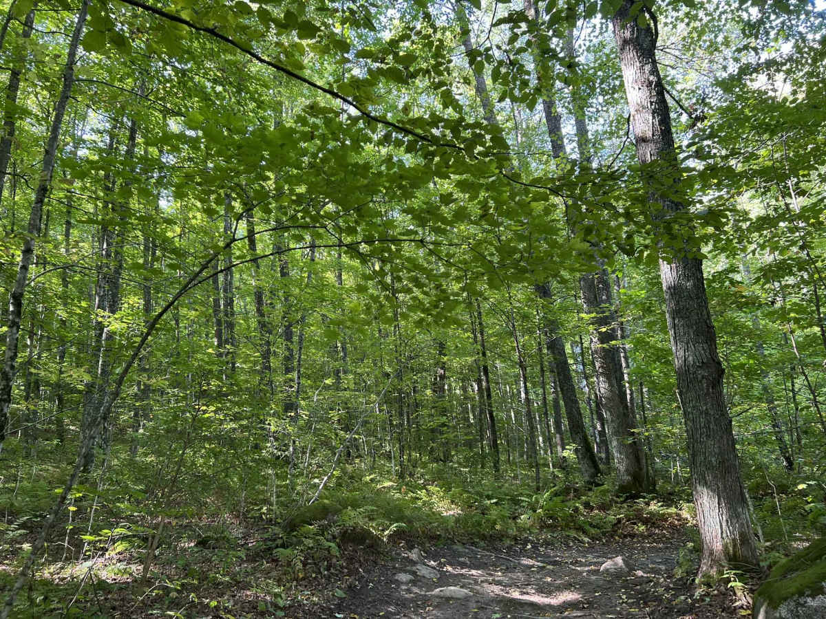
FS 2349B is a seasonal use trail open from 9-1 to 11-30. This is a rugged dirt two-track trail that runs along the North Branch Oconto River. This trail has many mud holes ranging from hard bottom and shallow to soft bottom and deep. The depths of these will typically range from 2-12 inches in depth. There is one large mud hole located on the northern end of the trail that could be up to 18" deep, but there is a bypass for this hole. There are several large sections of ruts that are typically 12" deep and will more than likely be filled with water, rocks, and other trail debris. Many of these ruts cannot be avoided, and vehicles with lower ground clearance could struggle. There are several sections of rocks that protrude through this trail; some can easily be avoided, but others will need to be traversed. These can range in size from a baseball to a large beach ball. The trail has several sections of moderate hill climbs; these will typically have mild ruts and washouts on them. The southern end of the trail has a large ditch that needs to be crossed and will test the traction, approach, and departure angle of some rigs. This trail is equally challenging when traveled from either direction, and has features that can allow it to be enjoyed from either direction. The scenery around this trail is dominated by young and maturing hardwoods with some pines and other softwoods mixed throughout. Undergrowth in the forest is relatively limited, allowing for excellent sight lines and views. Cell service on this trail is very spotty, and traveling with downloaded maps should be considered.
Difficulty
This is a packed dirt trail with numerous mud holes, large ruts, and moderate hill climbs. Mud holes and rut depth is typically under 12" in depth but depending on the amount of recent rainfall, there could be an isolated 18" plus of depth. This is uncommon but is possible. Mud holes and ruts can either have a hard bottom or a soft bottom. The trail is only wide enough for one vehicle and will require vehicles to reverse to a clearing in order to safely pass.



 Offroad