Trail Overview
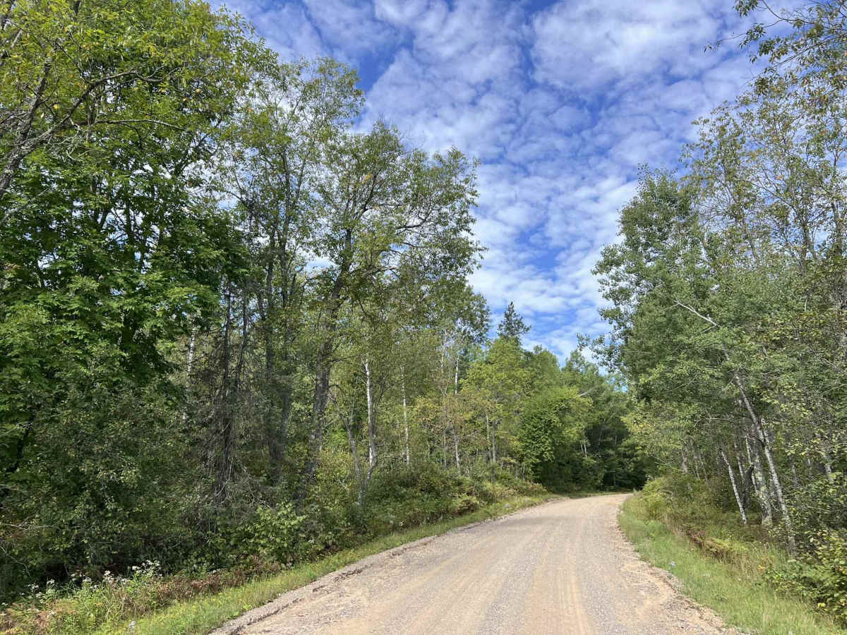
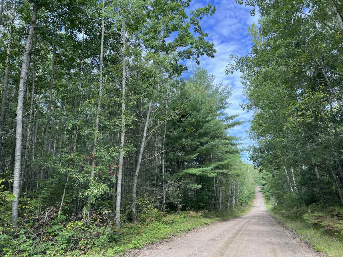
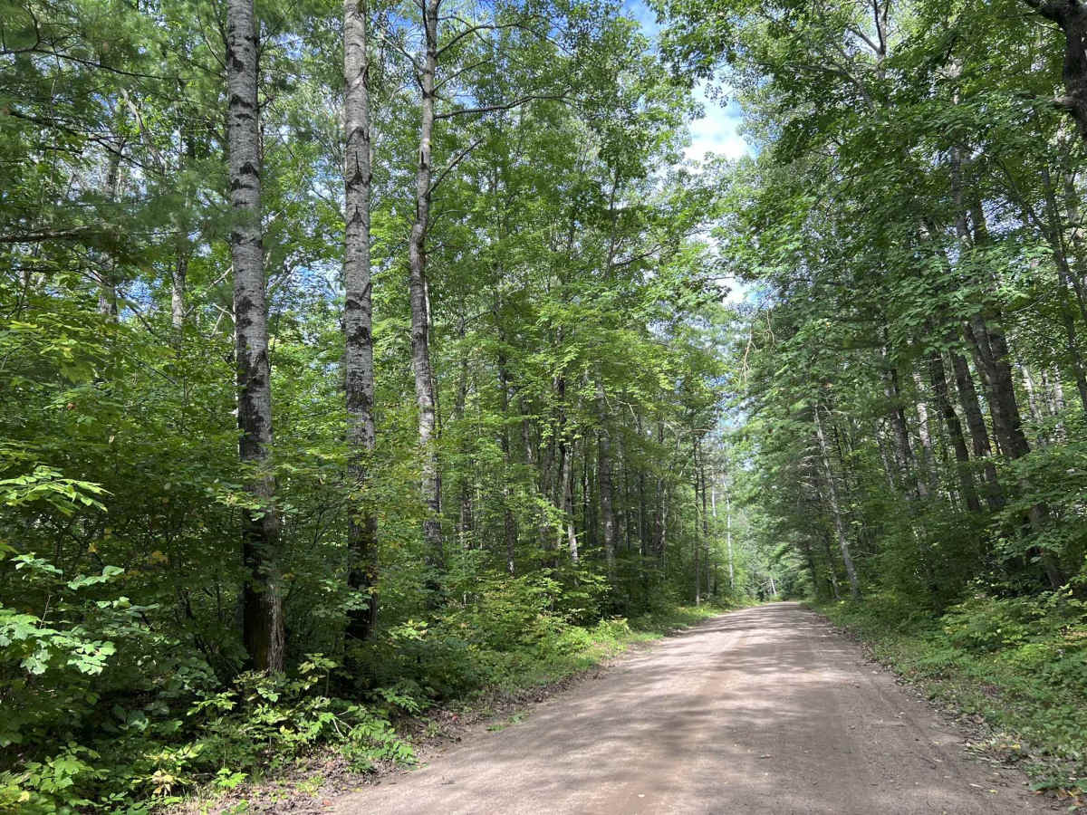
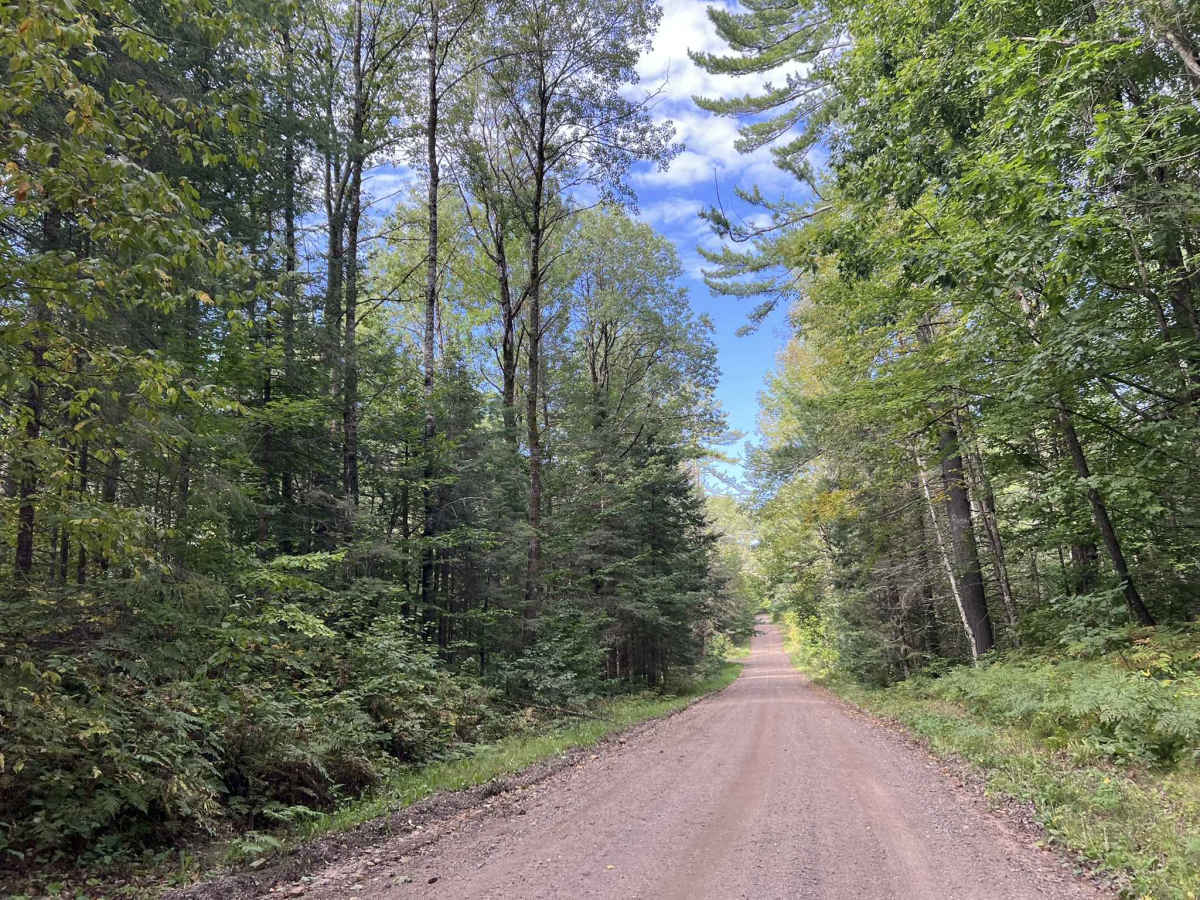
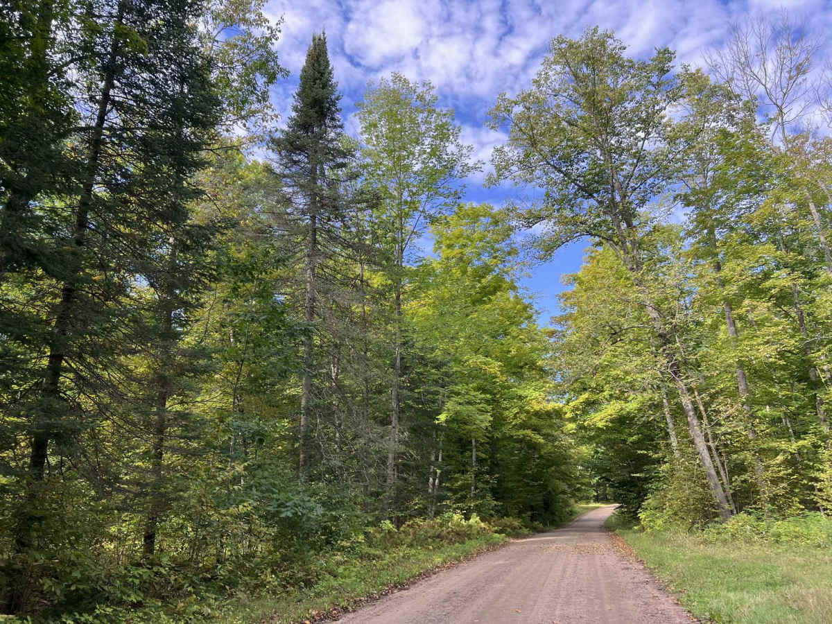
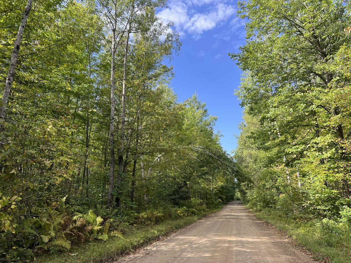
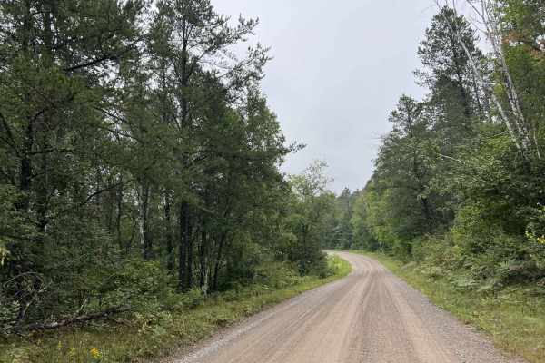
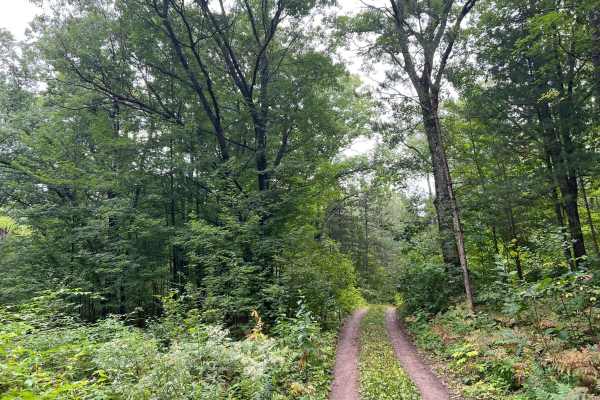
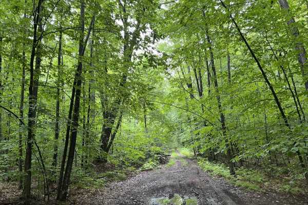
Knowles Creek Road - FS 2349 is a large gravel forest service road that runs from where the paved portion of Knowles Creek Rd ends at the intersection with Dumman Lane to County Road C. This is a wide, two-lane gravel forest road. The surface is a mix of loose and hard-packed gravel; this makes the trail suitable for any type of vehicle. This trail is very scenic, especially during the fall months, thanks to all of the rolling hills across the trail. A wide variety of trees can be seen and also help to increase the fall appeal, as there is a greater increase in colors to be seen. Sight lines on this trail are generally good and are only obstructed in some corners by mild undergrowth. Cell service in this area is generally acceptable. If planning on exploring more than the large gravel Forest Service roads, downloaded maps are recommended due to a large number of dead zones in this area.
Difficulty
This trail can be completed by all experience levels. The trail is well-maintained by the local towns. Due to the loose gravel, certain parts of the trail can easily push vehicles around during times of extreme drought. In addition, this can also create a considerable amount of dust. The trail has great visibility throughout, as well as semi-maintained ditch lines that could be used to pull off.