Trail Overview
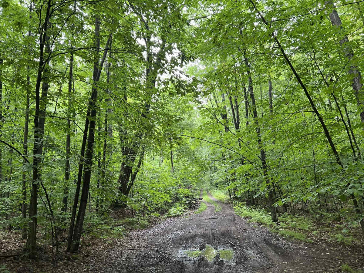
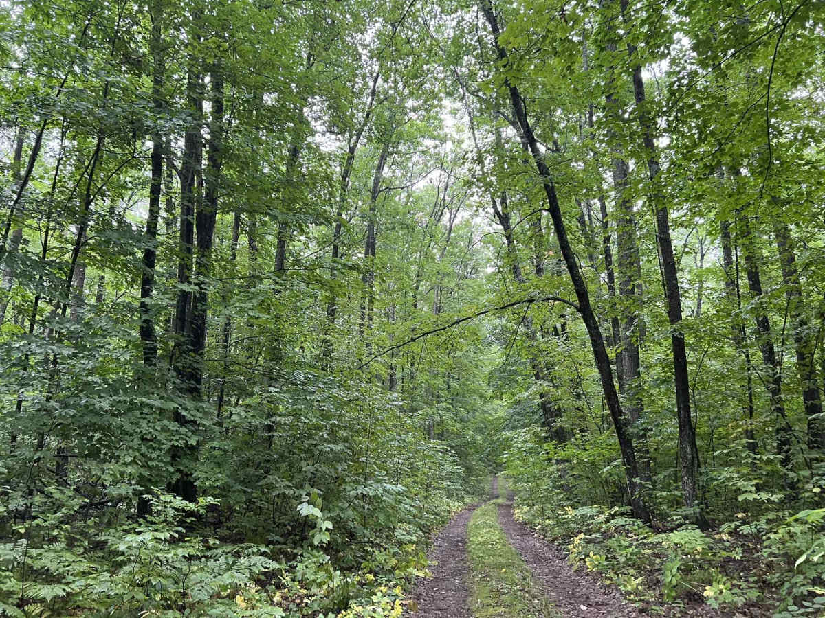
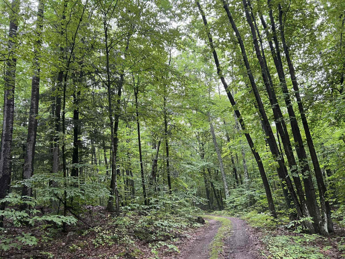
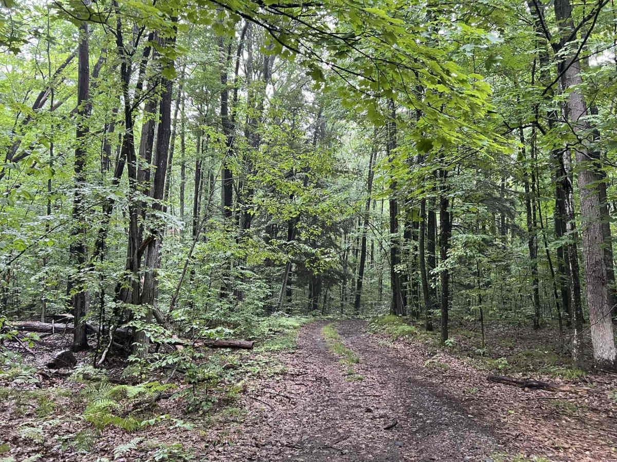
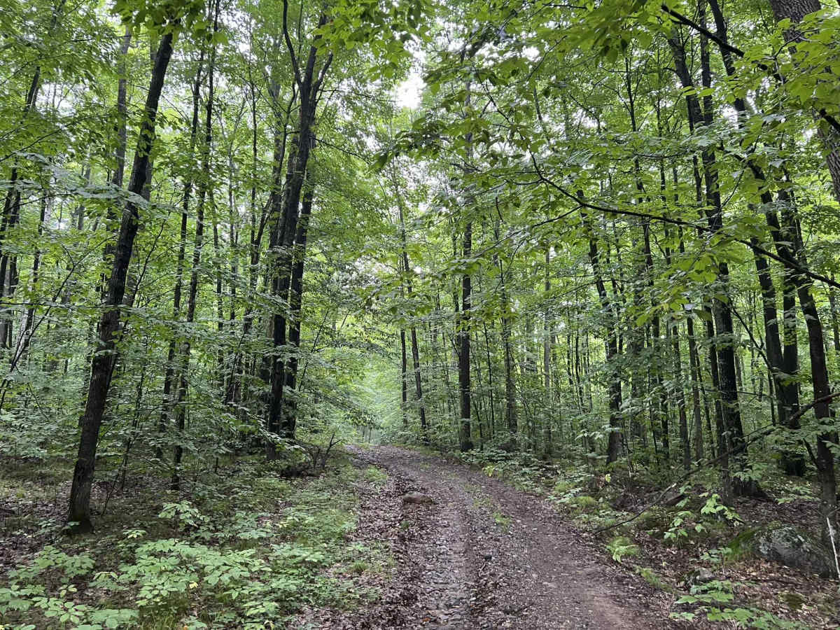
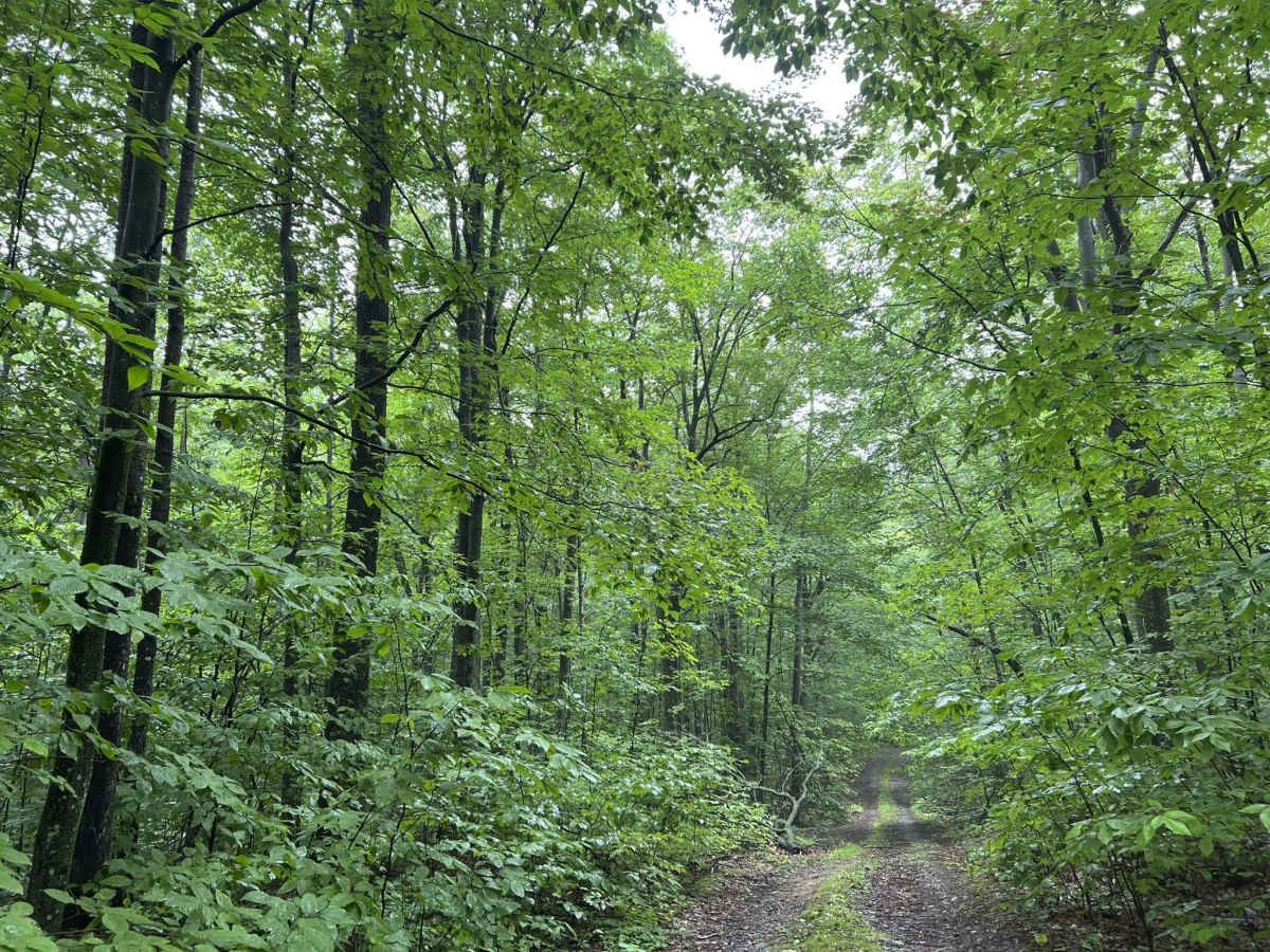
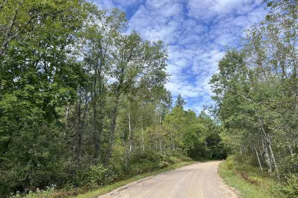
FS 2673 is an out-and-back-style trail which stars at its intersection with Forest Road 2141. This two-track dirt trail navigates along the southeasterly face of one of the large hills located in the MCCaslin Mountain State Natural Area. This results in a trail with semi-rugged terrain, as well as exceptional views located around the trail. The trail ends close to the top of the same hill that is traveled next to, with a small area that would make a perfect dispersed camping site for a couple of rigs. The trail is surrounded by dense forest, and as the trail works its way up in elevation, there will begin to be large rock formations that can be seen next to the trail. There are several small mud holes, all with a firm bottom, as well as a couple of minor rocky and rutted sections from soil erosion. As the trail reaches its end point on the final large climb, there is a decent washout that runs diagonally through the trail. This has a depth of about 12-16" and will test the articulation of smaller rigs. Choosing a line to avoid this section can be hard due to the dense surrounding forest and undergrowth. Cell service in this area is limited, and traveling with downloaded maps is recommended.
Difficulty
This is a packed dirt two-track trail. Expect small washouts, small mud holes, ruts, debris lying on the trail, and overhanging the trail. The large washout located at the end of the trail is roughly 12 in. to 16 in., depending on tire placement. Most sections of this trail will require vehicles to pull over and/or reverse to an open section to allow for passage. Sight lines are generally good but can be obstructed at times by dense forest trees.