
Beginner Off-Road Trails
Near Milton, North Carolina
Explore All Beginner Trails Near Milton, North Carolina
Beginner Off-Road Trails Near Milton, North Carolina
Discover the best beginner-friendly off-road trails near you. These easier, lower-rated trails are a great place to start — browse trail maps, check difficulty ratings, and find your next adventure.
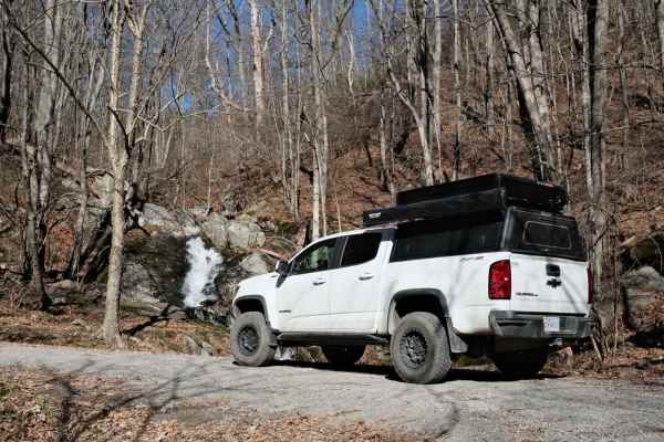
Overstreet Creek
Overstreet Creek climbs from just over 1,300 feet in elevation to 3,250 ft, where it meets the Blue Ridge Parkway. This four-mile-long route is mostly gravel, but some of the steep sections include larger rocks. The namesake creek parallels the road for most of the length, and several waterfalls are...
Learn more about Overstreet Creek
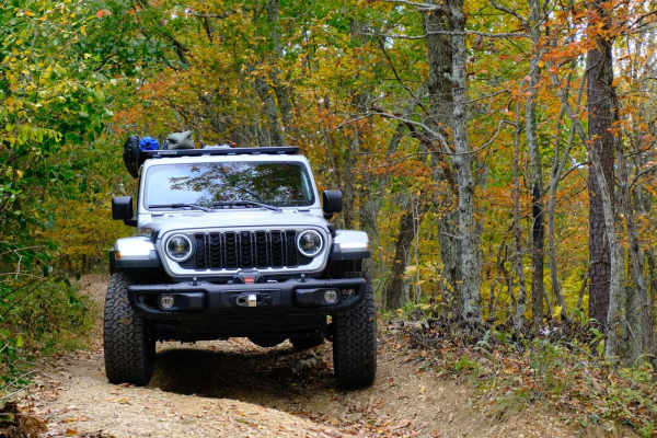
Bobblets Gap
Bobblets Gap is a natural surface two-track that starts on the south side of the Blue Ridge near Montvale, Virginia, and traverses up the mountain. At the top, it goes under the Blue Ridge Parkway and back off the north side of the mountain range, where it intersects with the Appalachian Trail and a...
Learn more about Bobblets Gap
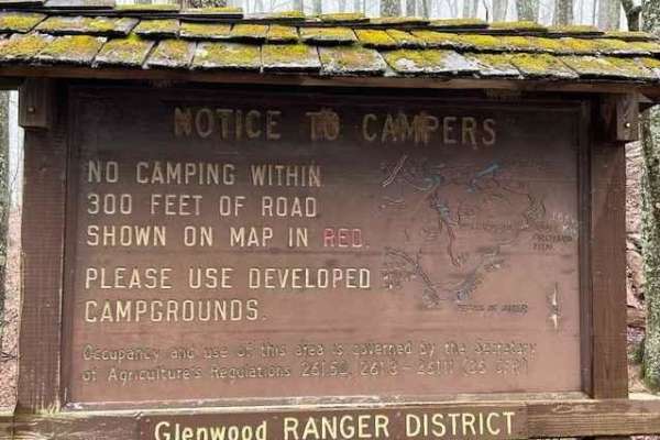
Powell's Gap
This is a gravel FS road leading to prime trout water. It's a scenic short path off the Blue Ridge Parkway. Go to the end of the road and take a left onto Jennings Creek. The trout water parallels the road for a few miles. The water is stocked and there are 2 nearby campgrounds off Jennings Creek Ro...
Learn more about Powell's Gap
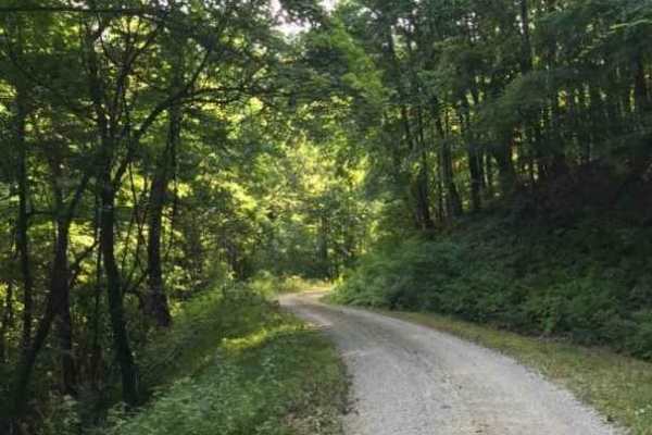
Middle Creek
This is a dead-end route leading to a junction of 4 other trails. This route has only 2 dispersed sites. This is a maintained gravel forest service road and is primarily used for horseback riding on the gated trails. The surface is smooth gravel. Cell service is adequate at the end.
Learn more about Middle Creek
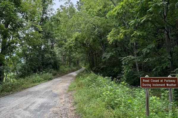
Goff Mountain Road
Goff Mountain Road, designated as FS 951 and sometimes referred to as Battery Creek, is an easy, well‑maintained gravel road suitable for most passenger vehicles. A few larger embedded rocks appear along the route, but none present significant difficulty for typical ground‑clearance vehicles.
The t...
Learn more about Goff Mountain Road
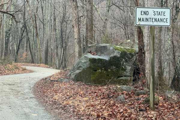
Hunting Creek
This out-and-back starts in the valley, and after following along Hunting Creek, it tops out at a gate just past the aptly named Camping Gap. There are a couple of small campsites near the bottom, and plenty of space is available at the grassy clearing near Camping Gap. The majority of the road is g...
Learn more about Hunting Creek
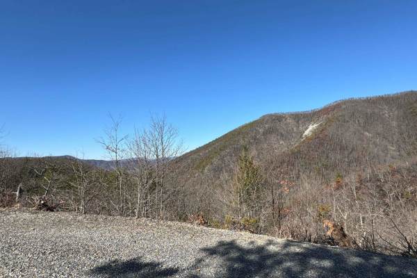
Petites Gap
Petites Gap descends the northern slope of the Blue Ridge Mountains from the parkway. After descending a few switchbacks, it parallels a fork of Elk Creek until leaving the National Forest. There are a couple of campsites along the way. Some are large enough for a vehicle, or possibly two. At least ...
Learn more about Petites Gap
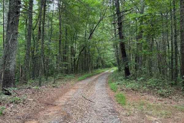
Little Otter
Little Otter, designated as FS 322, is a short, well‑maintained gravel road that remains open year‑round. The trail offers an easy and relaxing drive through the forest, with low vegetation overgrowth and no meaningful obstacles along the route.
Several signs appear near the beginning of the road, ...
Learn more about Little Otter
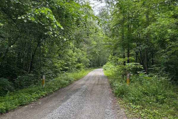
North Creek
North Creek, designated as Forest Service Road 59, begins where the pavement ends on North Creek Road. The route is open year‑round and remains an easy trail throughout, with a maintained gravel surface and low vegetation overgrowth. The most notable obstacles are potholes, all less than 6 inches de...
Learn more about North Creek
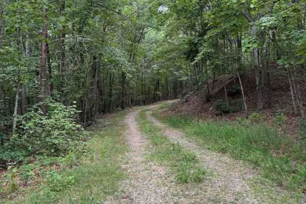
Peters Creek
Peters Creek, also known as Hunt Club Road and designated as Forest Service Road 54, is a well‑maintained gravel road that remains open year‑round. The trail serves as access to the Piney Ridge trailhead, located on the right fork of the road, just after the local hunting and fishing clubhouse. The ...
Learn more about Peters Creek
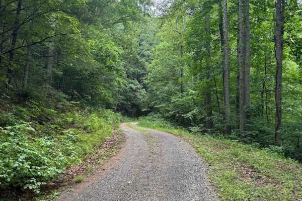
Colon Hollow
Colon Hollow, designated as Forest Service Road 782, begins directly across from the North Creek Campground. The trail starts at a historic log cabin, which serves as a notable landmark, though the structure is not open for entry. The route is easy overall, consisting of a well‑maintained gravel sur...
Learn more about Colon Hollow
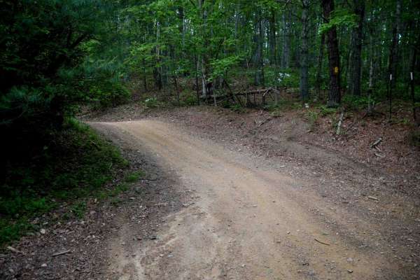
Terrapin
Terrapin Trail is a short, 0.6-mile connector linking the South Pedlar Trailhead parking area off State Highway 130 to the main South Pedlar loop. This easy, smooth trail is very wide with no obstacles, consistent with the rest of the trail system. It features the same hard-packed surface, scattered...
Learn more about Terrapin
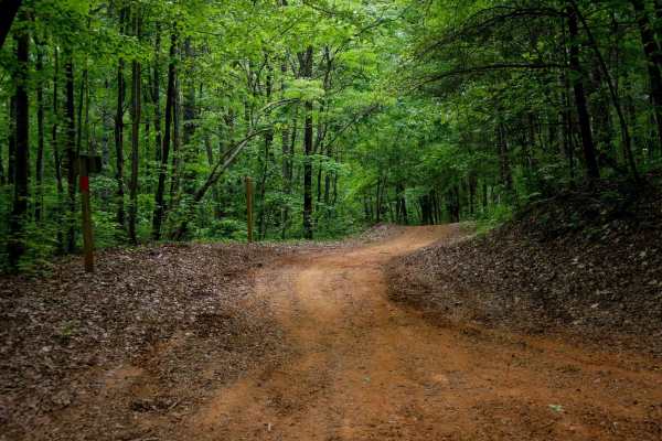
Rattlesnake
Rattlesnake Trail is a 0.5-mile ATV trail that provides smooth, easy access from the large Rattlesnake Trailhead parking lot off State Highway 130 to the South Pedlar loop. It features large water bars and fast, flowy riding with rocks pushed to the sides. The trail winds through a scenic forest dom...
Learn more about Rattlesnake
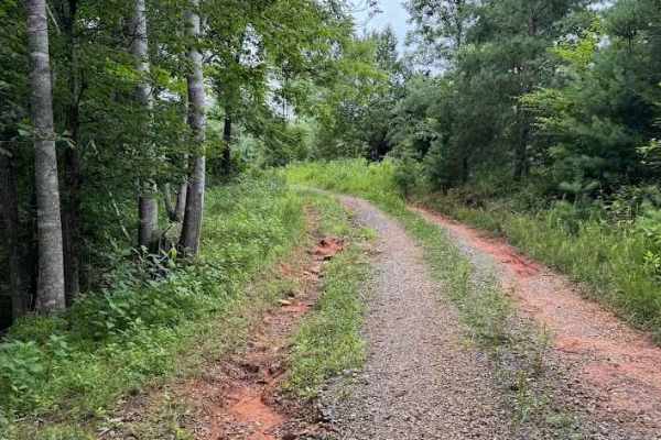
Little Cedar
Little Cedar, designated as Forest Road 320, is a seasonally open route with access from April 1 through January 10. The entrance can be easy to miss from Cheatham Road, but a small vertical sign marking 320 is posted at the start. A no trespassing sign is also present near the entrance; this applie...
Learn more about Little Cedar
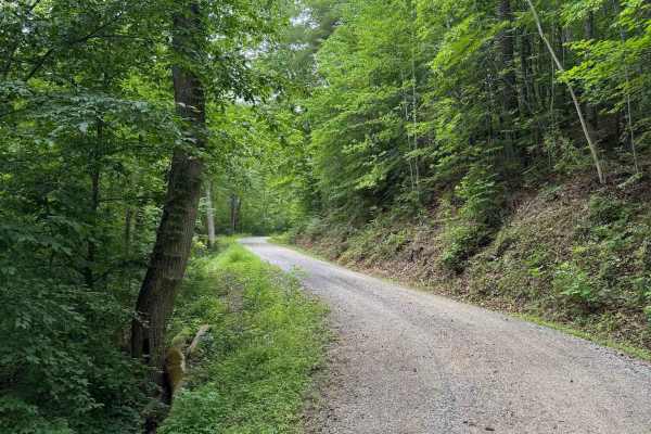
Thomas Mountain
Thomas Mountain, designated as Forest Service Road 768, is a maintained gravel road open year‑round. The route climbs steadily up the mountain, connecting North Creek at the lower end to Parker Gap at the higher end. Rutting is minimal, vegetation overgrowth is low, and the corridor remains consiste...
Learn more about Thomas Mountain
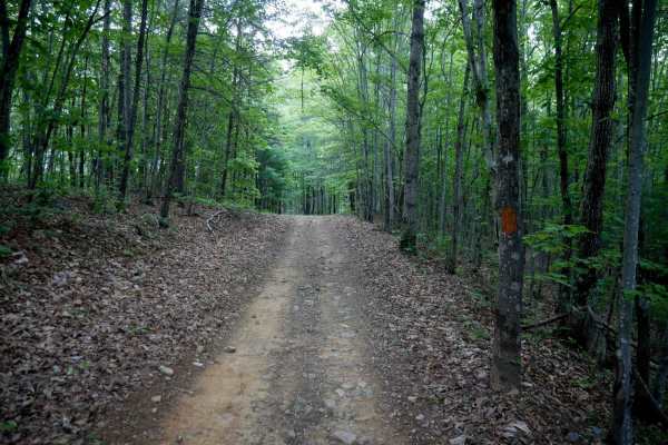
Piney
Piney Trail is a 0.9-mile gradual ascent when traveling west to east, serving as a useful cutoff across the South Pedlar loop to shorten your ride. The trail is wide and smooth with well-placed waterbars, and any small loose rocks or leaf litter are mostly pushed to the sides. A few muddy ruts may b...
Learn more about Piney
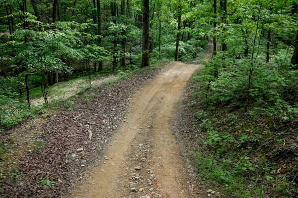
Otter
Otter Trail is a 1-mile loop that branches off the South Pedlar Trail, offering riders a short detour to change up the pace or add a bit of mileage. Like the other trails in the area, it features a wide tread with well-built waterbars and sweeping curves that meander through dense forest. The trail ...
Learn more about Otter
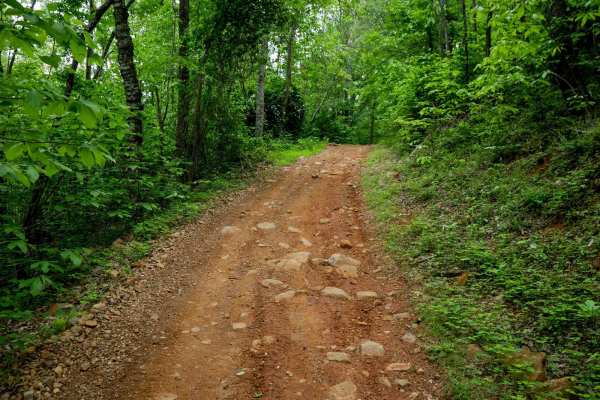
Lone Mountain
Lone Mountain Trail is a 1.8-mile easy connector that cuts across the South Pedlar ATV loop, allowing riders to create shorter route options. The trail winds gradually through a beautiful forest dominated by eastern hardwoods, with tight corners and meandering curves that offer a more enclosed, inti...
Learn more about Lone Mountain
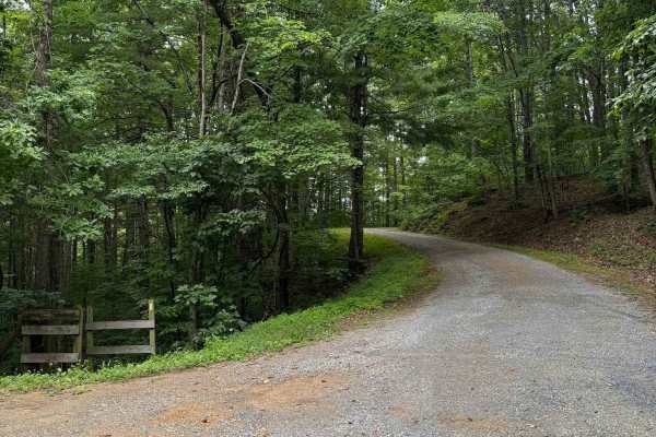
Wilson Mountain
Wilson Mountain (FS 907) and Skillern Mountain (FS 316) form a continuous, well‑maintained gravel route that transitions seamlessly at the county line. The road surface is consistently smooth with only minor rutting, scattered small rocks, and light vegetation overgrowth. Overall difficulty remains ...
Learn more about Wilson Mountain
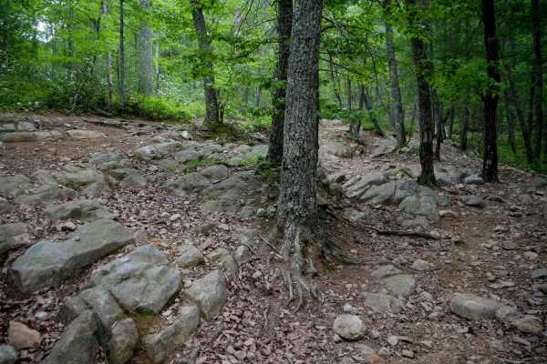
South Pedlar
South Pedlar is a 10.5-mile ATV loop trail in George Washington National Forest offering a fast and flowy ride through mossy woodlands. The wide, well-maintained trail features a smooth surface with scattered loose rocks and leaf debris, along with banked corners and wooden bridges. While most of th...
Learn more about South Pedlar
Beginner ATV trails near Milton, North Carolina
Explore ATV-friendly trails near you. These trails are accessible for vehicles up to 50 inches wide, perfect for ATVs and smaller off-road machines.
Terrapin
Terrapin Trail is a short, 0.6-mile connector linking the South Pedlar Trailhead parking area off State Highway 130 to the main South Pedlar loop. This easy, smooth trail is very wide with no obstacles, consistent with the rest of the trail system. It features the same hard-packed surface, scattered...
Learn more about Terrapin
Rattlesnake
Rattlesnake Trail is a 0.5-mile ATV trail that provides smooth, easy access from the large Rattlesnake Trailhead parking lot off State Highway 130 to the South Pedlar loop. It features large water bars and fast, flowy riding with rocks pushed to the sides. The trail winds through a scenic forest dom...
Learn more about Rattlesnake
Piney
Piney Trail is a 0.9-mile gradual ascent when traveling west to east, serving as a useful cutoff across the South Pedlar loop to shorten your ride. The trail is wide and smooth with well-placed waterbars, and any small loose rocks or leaf litter are mostly pushed to the sides. A few muddy ruts may b...
Learn more about Piney
Otter
Otter Trail is a 1-mile loop that branches off the South Pedlar Trail, offering riders a short detour to change up the pace or add a bit of mileage. Like the other trails in the area, it features a wide tread with well-built waterbars and sweeping curves that meander through dense forest. The trail ...
Learn more about Otter
Beginner UTV/side-by-side trails near Milton, North Carolina
Find UTV and side-by-side trails near you. These trails accommodate vehicles up to 60 inches wide, ideal for UTVs, side-by-sides, and wider off-road rigs.
The onX Offroad Difference
onX Offroad combines trail photos, descriptions, difficulty ratings, width restrictions, seasonality, and more in a user-friendly interface. Available on all devices, with offline access and full compatibility with CarPlay and Android Auto. Discover what you're missing today!
Open Trail Map