North Creek

Total Miles3.3
Technical Rating
1Easy
Best TimeSpring, Summer, Fall, Winter
Trail TypeFull-Width Road
Accessible By
Open Trail Map

Trail Overview

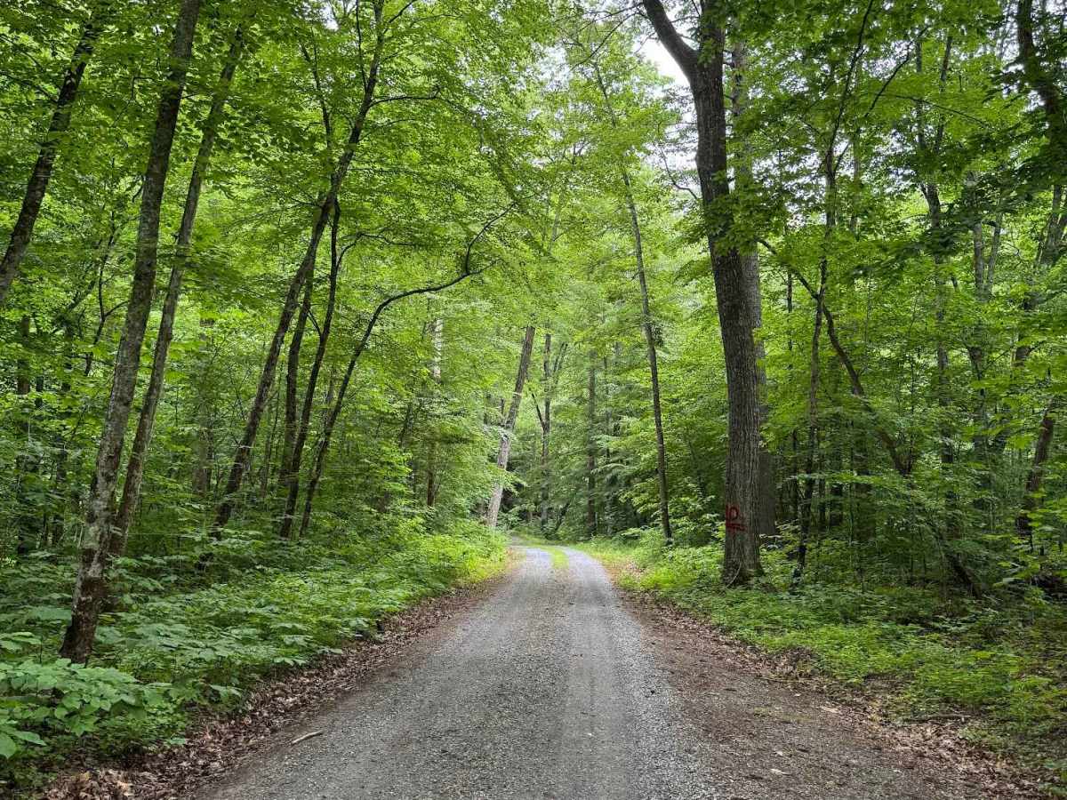
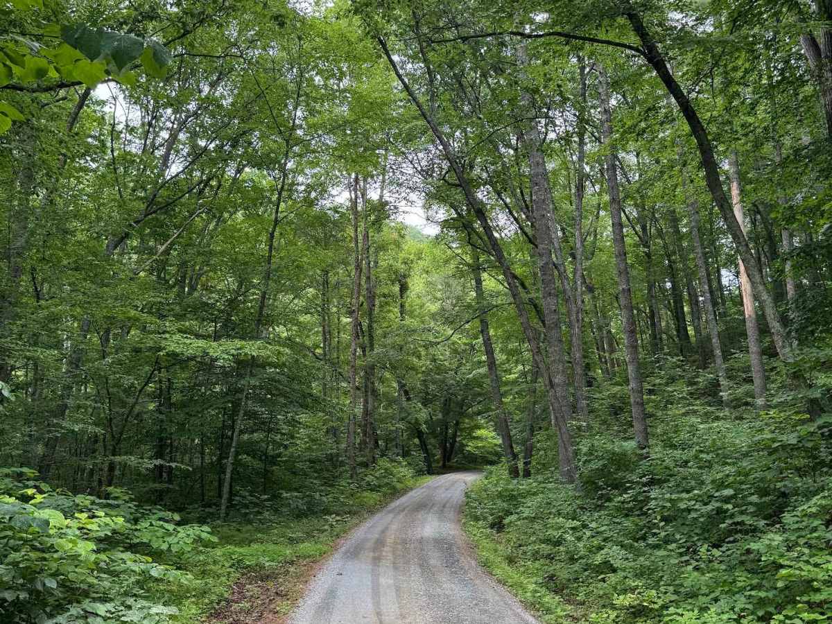
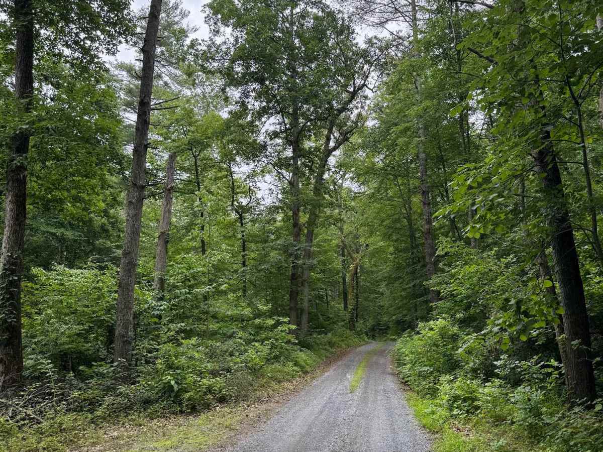
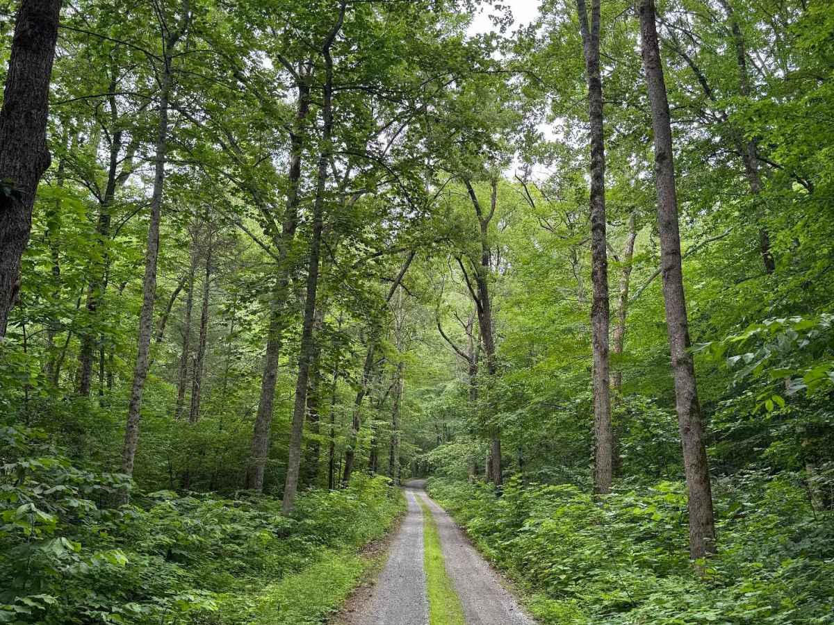
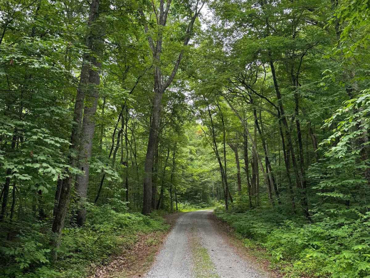
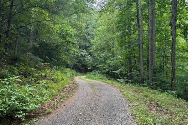
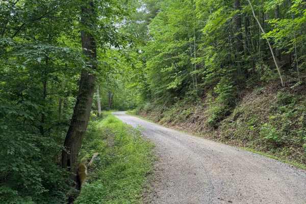
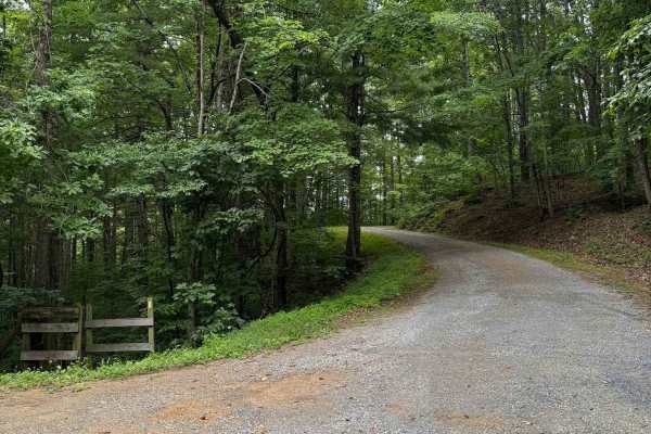
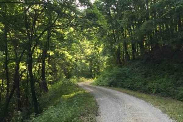
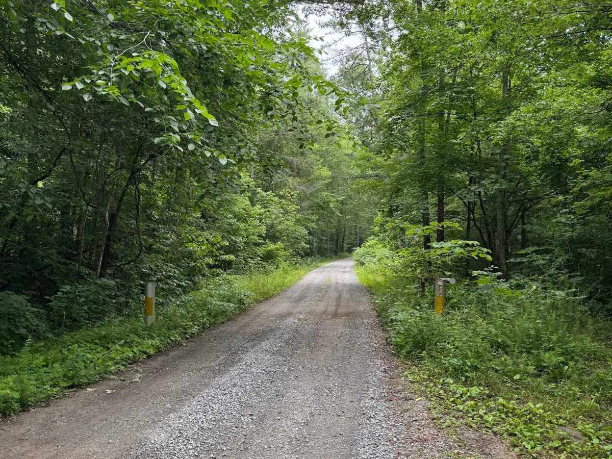
North Creek, designated as Forest Service Road 59, begins where the pavement ends on North Creek Road. The route is open year‑round and remains an easy trail throughout, with a maintained gravel surface and low vegetation overgrowth. The most notable obstacles are potholes, all less than 6 inches deep, and none of them significantly affect travel. The trail is well known for its recreational opportunities, including camping, hiking, and fishing. The southern end of the route serves as the trailhead for Apple Orchard Falls, with a large turnaround area that provides parking for several vehicles. This section of North Creek is also part of the U.S. Forest Service’s special trout fishing catch‑and‑release area, making it a popular destination for anglers. Vegetation remains low along the corridor, and the road stays consistently accessible throughout the year.

Photos of North Creek

Difficulty

This forest road is a maintained gravel road. The only obstacles are potholes, though the largest were no deeper than 3 inches. A 2WD vehicle should have no trouble, as the elevation of this trail remains mostly flat.

Technical Rating

1

North Creek Trail can be accessed by the following ride types:

  • High Clearance
  • Full Width

North Creek Map

The onX Offroad Difference

onX Offroad combines trail photos, descriptions, difficulty ratings, width restrictions, seasonality, and more in a user-friendly interface. Available on all devices, with offline access and full compatibility with CarPlay and Android Auto. Discover what you're missing today!

Open Trail Map