Thomas Mountain

Total Miles2.8
Technical Rating
1Easy
Best TimeSpring, Summer, Fall, Winter
Trail TypeFull-Width Road
Accessible By
Open Trail Map

Trail Overview

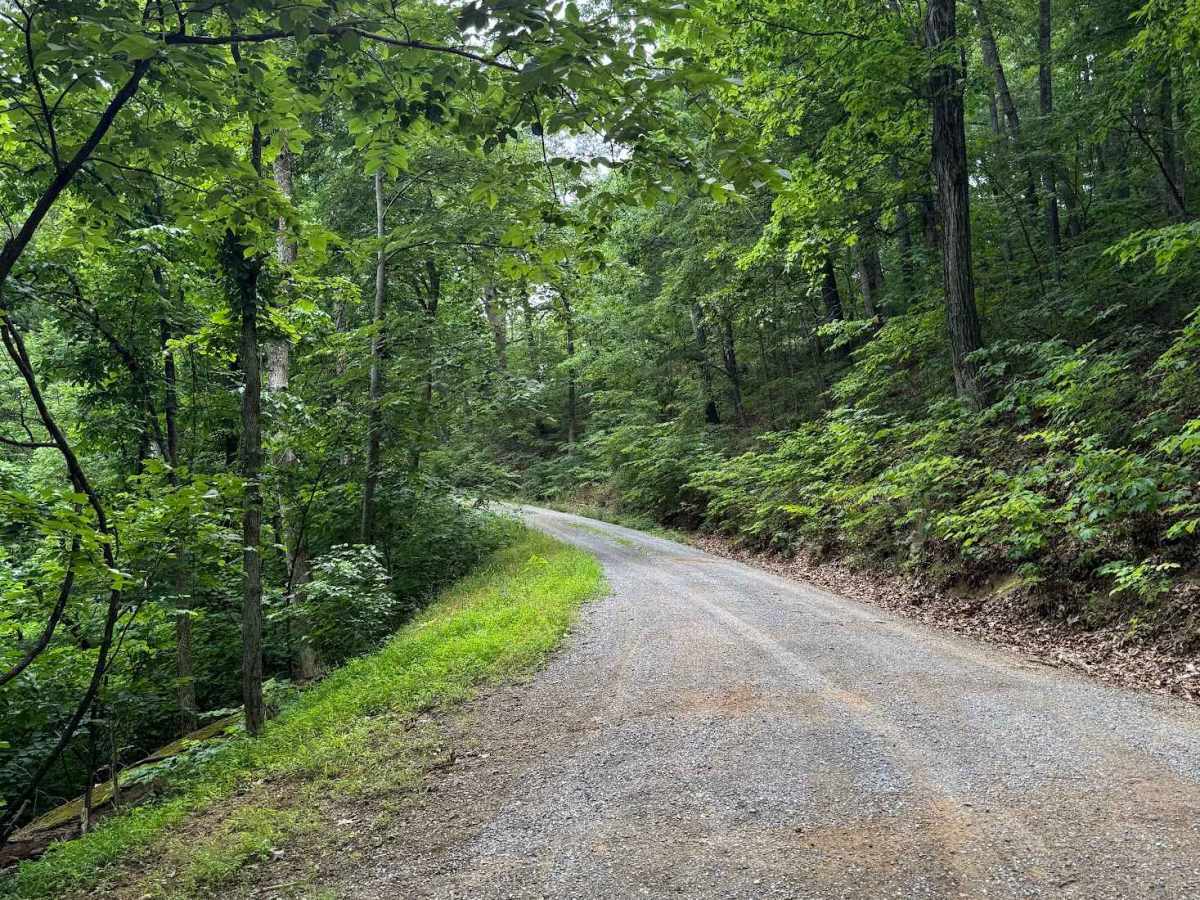
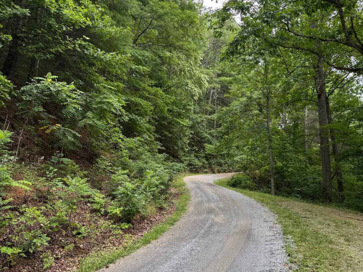
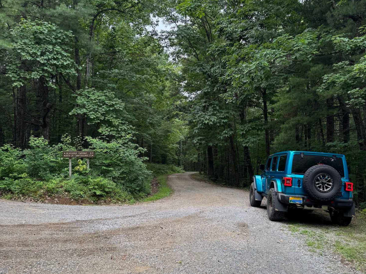
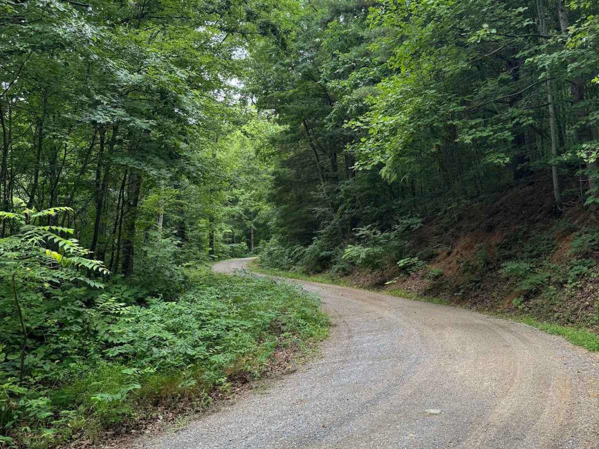
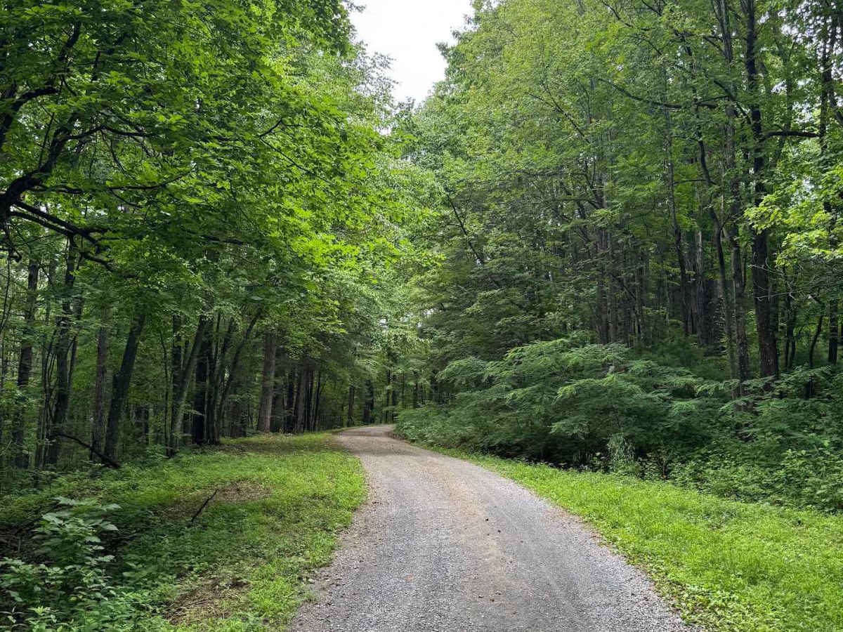
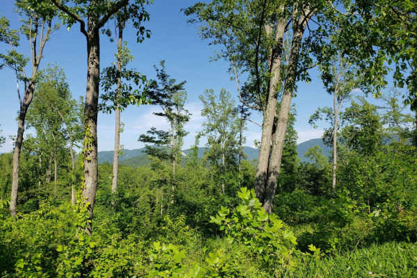
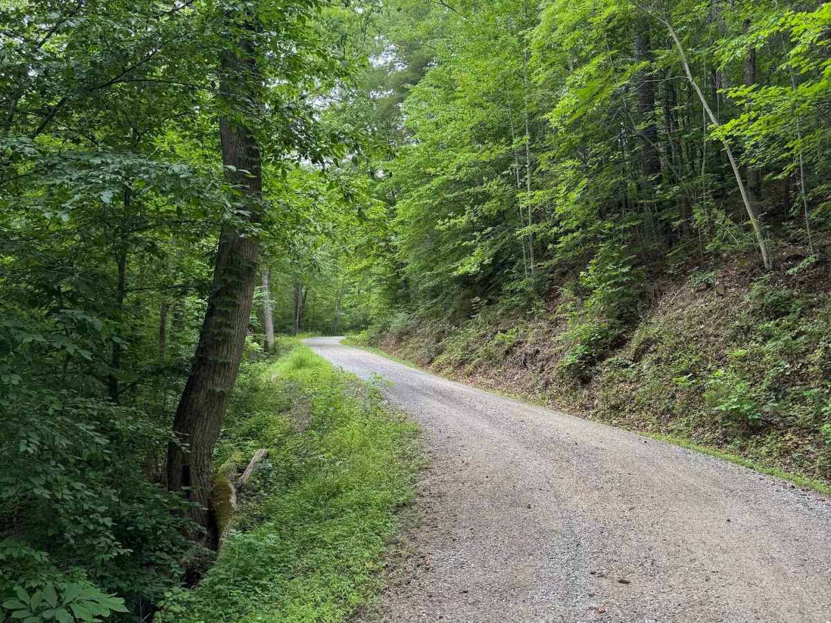
Thomas Mountain, designated as Forest Service Road 768, is a maintained gravel road open year‑round. The route climbs steadily up the mountain, connecting North Creek at the lower end to Parker Gap at the higher end. Rutting is minimal, vegetation overgrowth is low, and the corridor remains consistently open throughout the year. A very small side spur, Bannister (FS 3027), branches off the main road and is included in the mapping of this trail. This spur ends after roughly 500 feet and primarily serves as the trailhead for the Pine Ridge hiking route, which leads to the summit of Thomas Mountain. Thomas Mountain functions mainly as a connecting road rather than a destination trail, as it does not offer scenic vistas or notable viewpoints. Its value lies in access: linking recreation areas, trailheads, and other forest roads across the mountain.

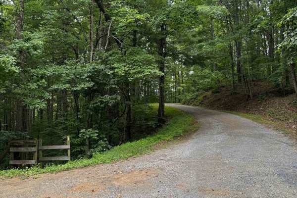
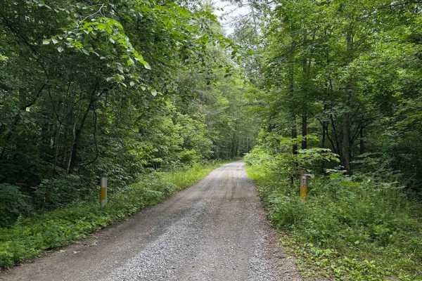
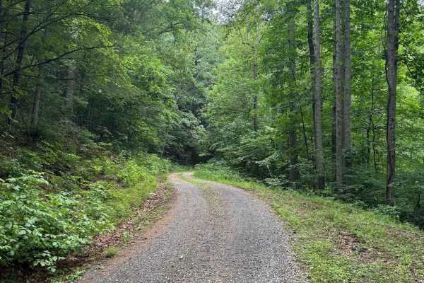
Photos of Thomas Mountain

Difficulty

There are no significant obstacles on this trail. It is a maintained gravel road, and despite the incline up the mountain, a 2WD vehicle should not have difficulty. The end of the Bannister spur would rate a 2, though it is out of the way of the trail.

Technical Rating

1

Thomas Mountain Trail can be accessed by the following ride types:

  • High Clearance
  • Full Width

Thomas Mountain Map

The onX Offroad Difference

onX Offroad combines trail photos, descriptions, difficulty ratings, width restrictions, seasonality, and more in a user-friendly interface. Available on all devices, with offline access and full compatibility with CarPlay and Android Auto. Discover what you're missing today!

Open Trail Map