Trail Overview
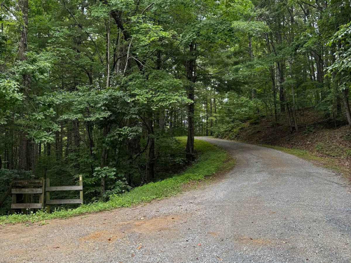
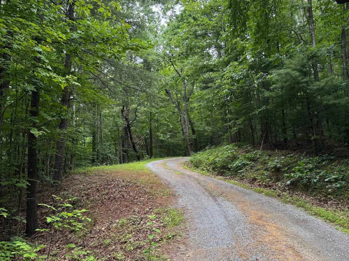
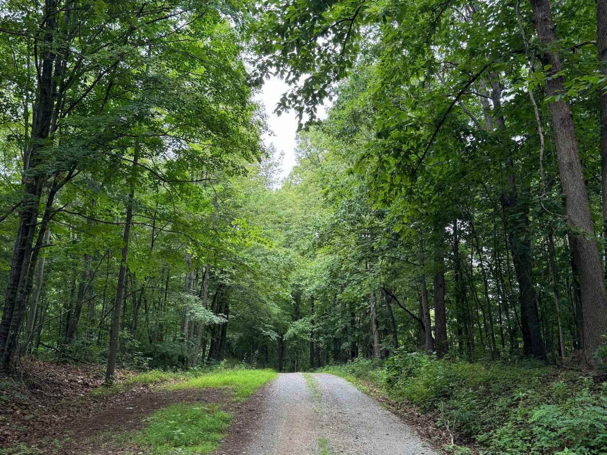
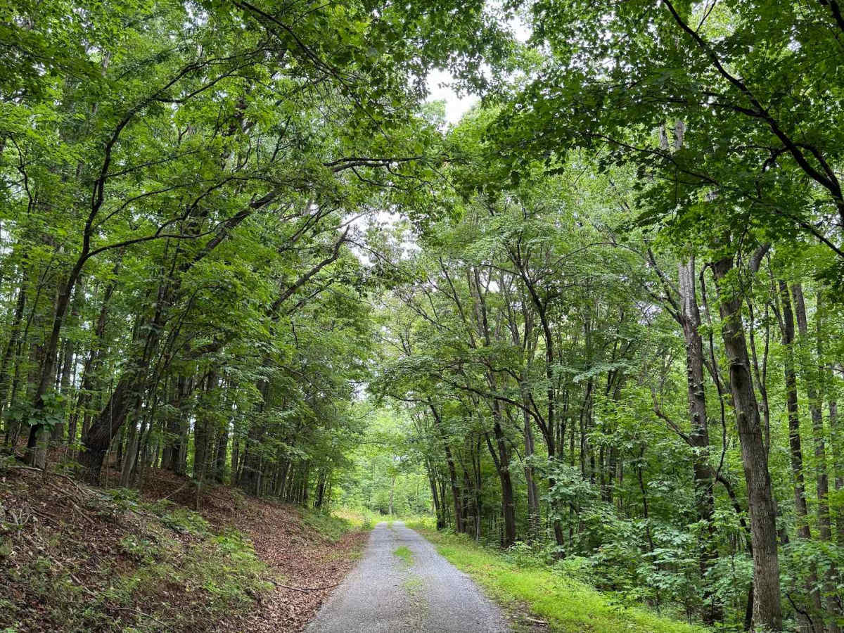
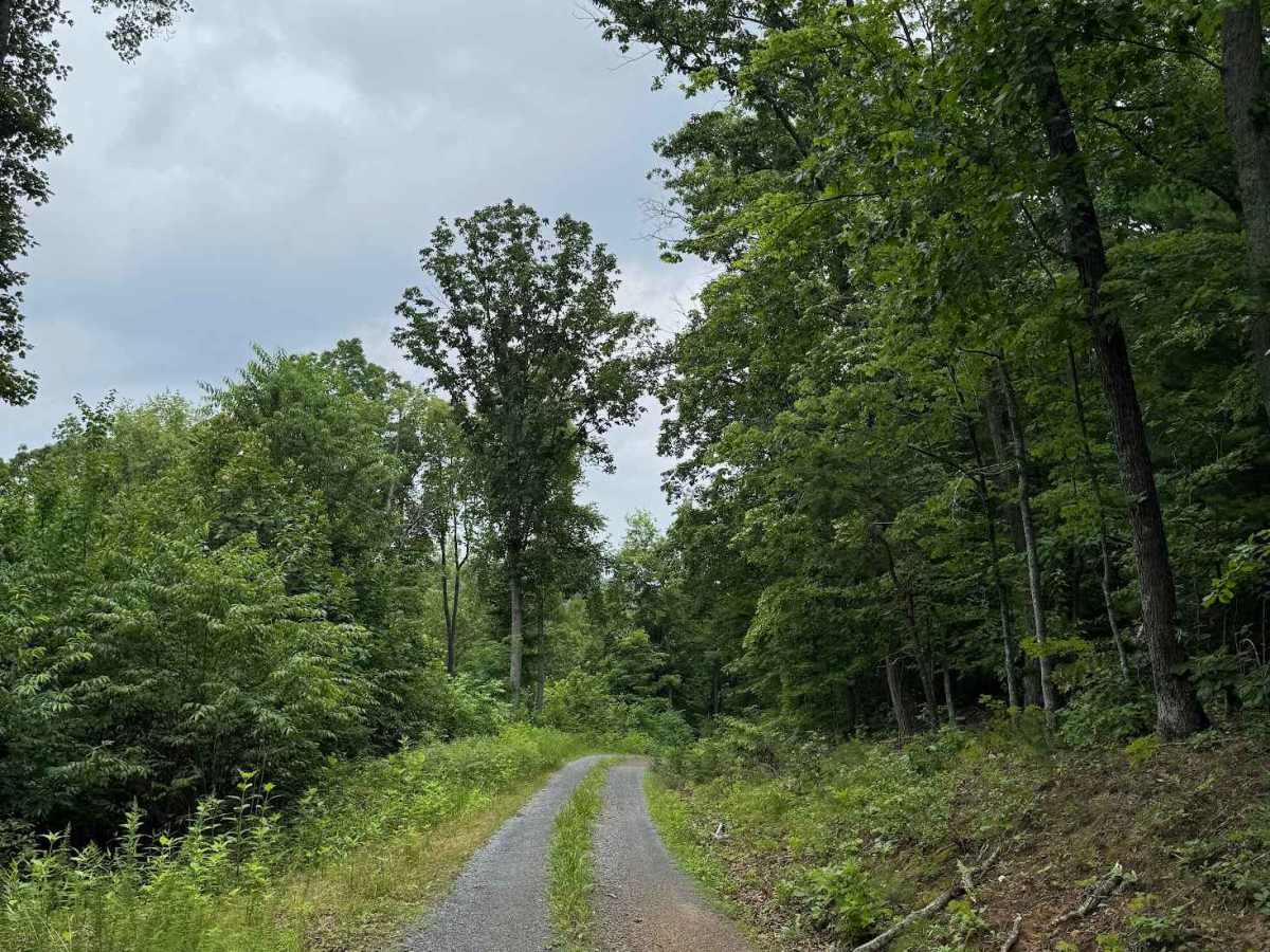
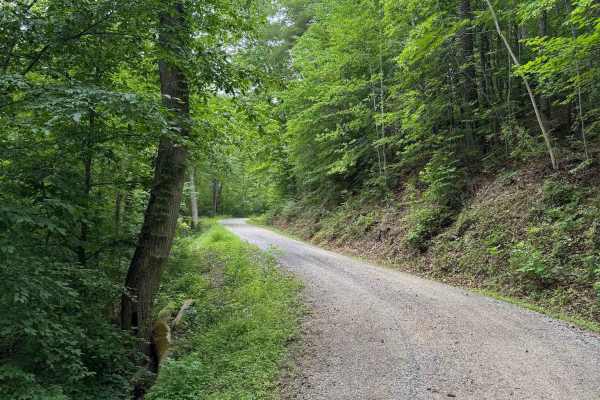
Wilson Mountain (FS 907) and Skillern Mountain (FS 316) form a continuous, well‑maintained gravel route that transitions seamlessly at the county line. The road surface is consistently smooth with only minor rutting, scattered small rocks, and light vegetation overgrowth. Overall difficulty remains low, and the corridor stays comfortably wide for passing or maneuvering. A campsite is located at the end of the trail and also serves as the ideal turnaround point. Two hiking opportunities branch from this route: Sprouts Run, located at the very beginning, and Wilson Mountain, accessed via a left‑side spur. This spur ends after roughly 500 feet and features a large turnaround with ample parking, making it a convenient staging area for hikers. The combined Wilson–Skillern route is straightforward, scenic, and accessible, offering easy travel and multiple recreation options along the way. Cell phone signal is available on most of the trail, surprisingly.