
Beginner Off-Road Trails
Near Marshfield, Missouri
Explore All Beginner Trails Near Marshfield, Missouri
Beginner Off-Road Trails Near Marshfield, Missouri
Discover the best beginner-friendly off-road trails near you. These easier, lower-rated trails are a great place to start — browse trail maps, check difficulty ratings, and find your next adventure.
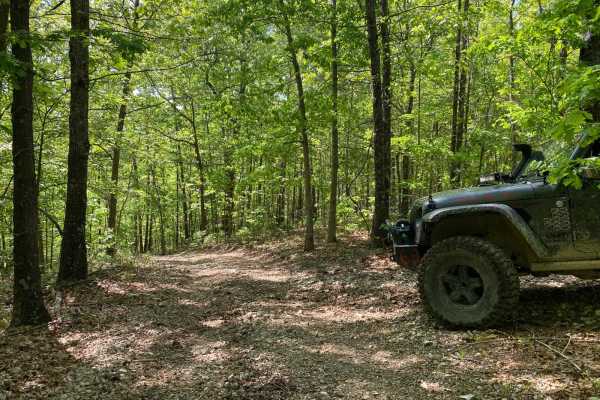
Old Crow
This is a short and sweet non-directional offshoot of Lone Wolf. There are some tight corners;some spots will be muddy. There is also a steep downhill if coming from where it meets Lone Wolf. This trail will reconnect you to Lone Wolf at the bottom or you can get onto a trail called Deadbeat.
Learn more about Old Crow
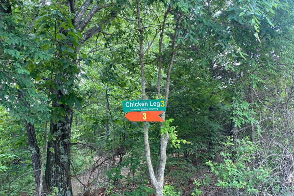
Chicken Leg
Chicken Leg is a short trail off of Ranch Road that leads to a trail called Lost Bridge and continues onto Frontage Road and Backwoods Road. The beginning of the trail is a slightly steep downhill that is rutted due to use and water erosion. This also means some sections will be slightly off-camber....
Learn more about Chicken Leg
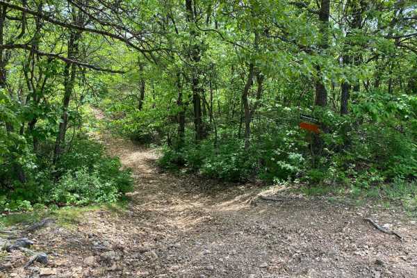
Eastwood Drive
Eastwood Drive is a 3-mile-long scenic drive that winds through the trees. There are some tight turns for longer-wheelbase vehicles. You will come to an area with a small washout but you can get past it. Depending on recent rainfall and use of the trail, it could get worse over time. You will also c...
Learn more about Eastwood Drive
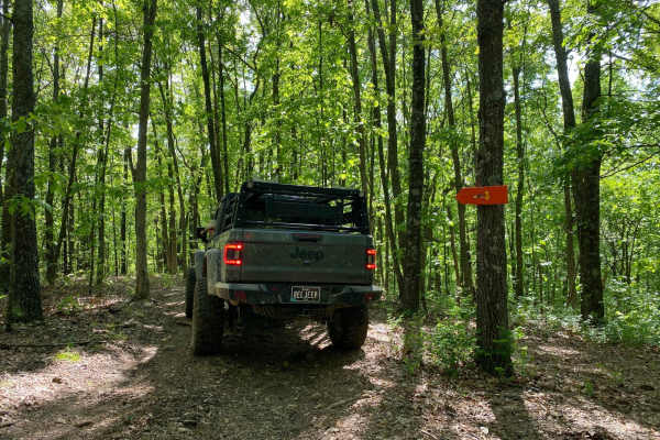
Big Oak
This is a very short bypass trail from Dead Beat back to Turkey Trot. There are no obstacles. This is more of a dirt or gravel road. There is a decently large oak tree at the end of the trail where it connects to Dead Beat. This trail is so short you will think you were never on it.
Learn more about Big Oak
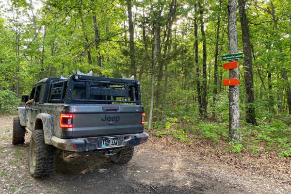
Stocker Stomper
This trail is easily accessed from Cedar Lane through the primitive campsite on the northwest side of the park. This trail is non-directional and can be run from either end. The first part of the trail is easy with the potential for mud puddles depending on recent rainfall. You will come to a steep ...
Learn more about Stocker Stomper
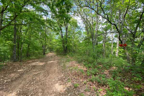
Lone Wolf
This is a non-directional loop trail. This trail has some tight corners for longer-wheelbase vehicles. There is a section with small rock obstacles. One side of the loop has a steep hill to climb or go down. A vehicle with 4WD with low range is recommended. You will exit the same way you entered the...
Learn more about Lone Wolf
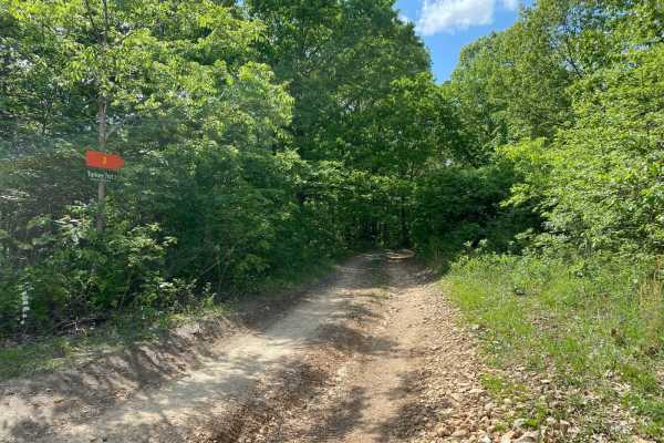
Turkey Trot
This is a non-directional loop trail. You will exit this trail the same way you came in. Turkey Trot crosses over a trail called Deadbeat twice along the way. There are areas of slight off-camber, as well as an area with small rock obstacles/ledges. This is a scenic drive that winds through the tree...
Learn more about Turkey Trot
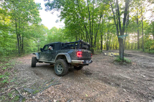
Sidewinder
Sidewinder is a loop trail off of Cedar Lane/Fence Road. It has slight grades up and downhill. It is a non-directional trail, so it can be run from either end. There is a small rock obstacle on one end that any vehicle with 4WD and low range can overcome. This trail connects at the bottom to a very ...
Learn more about Sidewinder
Bar-B-Q
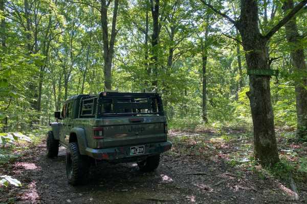
This is a side trail you can take from Cherokee Pass back up to High Mountain Road, or you can take this trail from High Mountain Road and drop onto Cherokee Pass. From High Mountain Road, this is a nice easy trail. This trail is not traveled all that much, so there is plenty of overgrowth from tree...
Learn more about Bar-B-Q
Boomerang
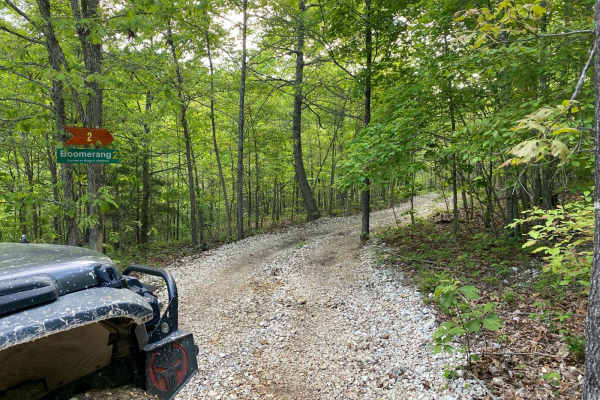
This trail is an offshoot from Sidewinder. This trail can also be accessed from the entrance of Bronco Buster on the left-hand side. Any vehicle should be able to complete this trail as there are no obstacles. Instead, this is a scenic trail through the trees. There is a tree along the way that look...
Learn more about Boomerang
Crooked
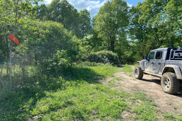
This is a non-directional loop trail and it can be run from either end. There are some hills but they have gradual grades. Crooked connects to the Rattler Bypass. There are some areas with overgrowth but not too much. It's a very relaxing scenic trail that winds through the trees. There are some tig...
Learn more about Crooked

Backwoods Road
Backwoods Road is a dirt road that branches off of Ranch Road and leads to other trails. Backwoods Road is suitable for any vehicle. It is very dusty when there has not been recent rainfall. Backwoods Road will lead you to trails like Cold Mountain, Turkey Trot, Cougar Crossing, and Jagermeister.
Learn more about Backwoods Road
Chuckwagon
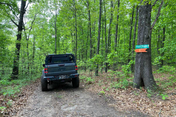
Located between 8 Gauge and Stirrup off of Fence Road, Chuckwagon is a scenic loop that winds through the trees. This is mostly made of dirt with some areas with a brick base. Depending on recent rainfall, there could be mud puddles along the way. The corners could be tighter for longer-wheelbase ve...
Learn more about Chuckwagon

Stirrup Split
This trail is nondirectional so it can be run from starting at the top or the bottom. There are areas of slight off-camber. Depending on recent rainfall, this trail may be wet at the bottom. This trail could have some erosion over time. At the bottom, this trail connects to Horseshoe.
Learn more about Stirrup Split
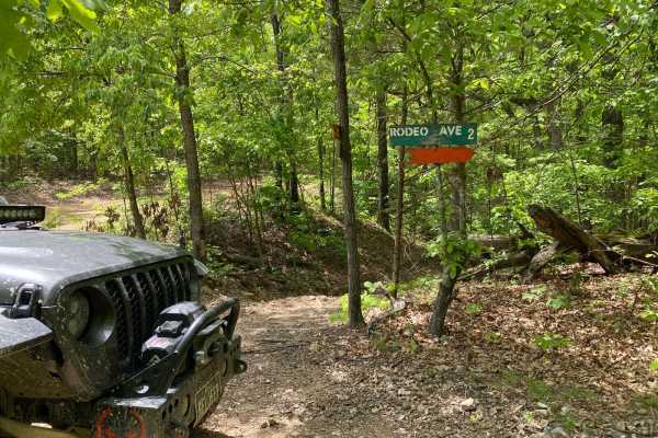
Rodeo Avenue
This will lead you on a scenic drive that winds through the trees. There will be mud puddles along the way. Any vehicle whether 2WD or 4WD will be able to complete this trail. This trail will connect to other trails at the Rope Swing Tree off of Ranch Road.
Learn more about Rodeo Avenue
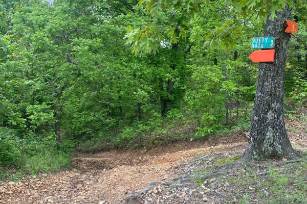
Rusty Nail
Rusty Nail is a non-directional trail that can be run from either end. There is a rock ledge obstacle that does not have a bypass. This obstacle can be very slick depending on recent rainfall. You will come to areas of being off-camber. At the bottom, you will be connected to PeeWee Crossing (Jeep B...
Learn more about Rusty Nail
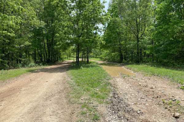
Ridgeline Road
This is a short and sweet nondirectional offshoot of Ranch Road. This trail offers a few good spots to pull over and eat lunch or grab a quick snack. There are no obstacles on this trail. There are a few spots with mud holes and mud puddles, but there are bypasses around them.
Learn more about Ridgeline Road
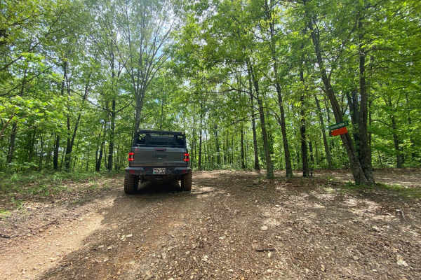
Comanche Hollow
The trail starts fairly nice and easy and then comes to a gradual descent. Once down, you will come to a junction of trails, but Comanche Hollow is clearly marked to follow. You will need to keep the right amount of momentum at the end when you're coming back up to Ranch Road. Depending on recent ra...
Learn more about Comanche Hollow
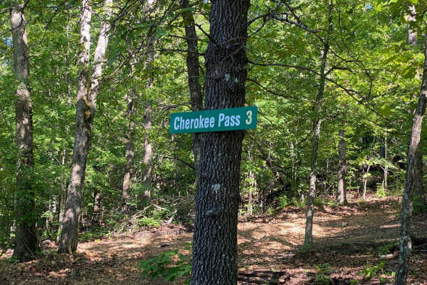
Cherokee Pass
Cherokee Pass is an offshoot trail towards the top of Brixey Hill. This is a scenic drive through the winding trees, with some spots being tighter to navigate for longer wheelbases. This trail does have areas that are rutted and will have mud puddles. You wil also encounter a few spots with steep gr...
Learn more about Cherokee Pass
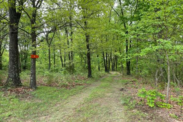
Heeler
Heeler is a short and sweet loop trail located between Rusty Nail and 8 Gauge. This is mostly a dirt trail with some areas of rock base. Depending upon recent rainfall, there could be mud puddles along the way. If in a full-sized truck or SUV, some of the curves could be tight. Almost any vehicle co...
Learn more about Heeler
Beginner ATV trails near Marshfield, Missouri
Explore ATV-friendly trails near you. These trails are accessible for vehicles up to 50 inches wide, perfect for ATVs and smaller off-road machines.
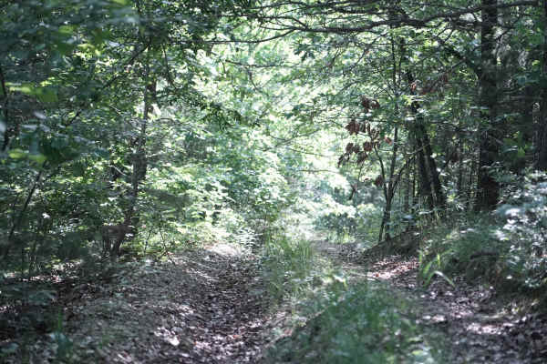
East Ridge Loop
This trail features a steep climb with loose rocks and small rock ledges, along with tight, off-camber turns and deep ruts. The trail is heavily overgrown in several areas, making the route difficult to follow at times. A 74-inch-wide machine can make it through, but some sections are very tight and...
Learn more about East Ridge Loop
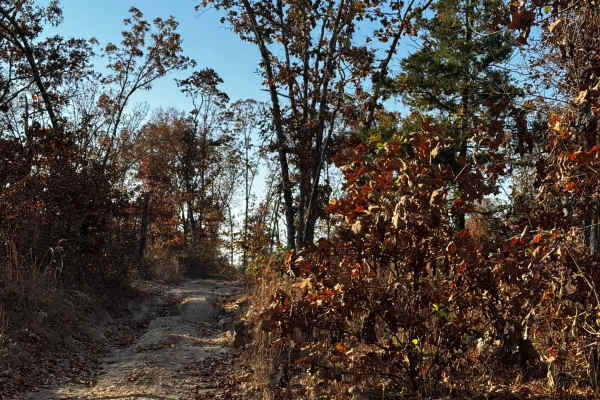
Loggers Trail / Heavens Stairs Connection
As the trail name states this is just a quick and convenient access trail to help access from the loggers trail to Heavens Stairs easily. Please remember to do your part in helping the park and keeping the trails clean for the enjoyment of others. Be mindful of traffic in this area.
Learn more about Loggers Trail / Heavens Stairs Connection
Hudson's Hideaway
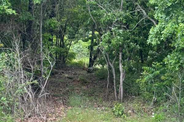
This is a rock-notch in between pass-throughs to test articulation/vehicle pivoting skills. Recommended high clearance/larger tires.
Learn more about Hudson's Hideaway
Brett's Cherry
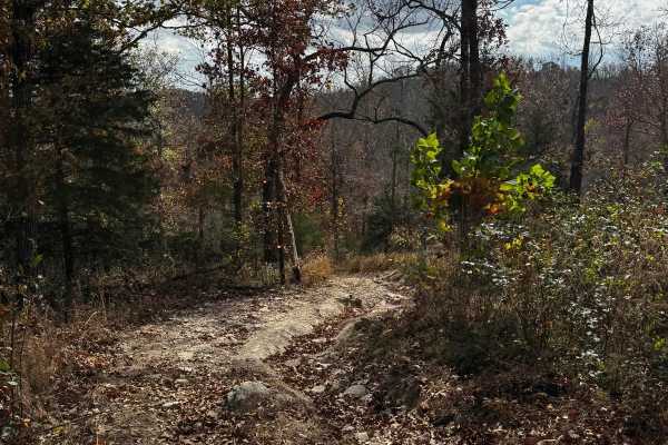
Brett's Cherry is a mildly challenging trail featuring some larger rocks and a bit more of a washout section that's fun for most vehicles. This is also a good access trail to get to the waterfall. Please be mindful of others on the trails and do your part to help keep the park clean.
Learn more about Brett's Cherry
Beginner UTV/side-by-side trails near Marshfield, Missouri
Find UTV and side-by-side trails near you. These trails accommodate vehicles up to 60 inches wide, ideal for UTVs, side-by-sides, and wider off-road rigs.
Old Crow
This is a short and sweet non-directional offshoot of Lone Wolf. There are some tight corners;some spots will be muddy. There is also a steep downhill if coming from where it meets Lone Wolf. This trail will reconnect you to Lone Wolf at the bottom or you can get onto a trail called Deadbeat.
Learn more about Old Crow
Chicken Leg
Chicken Leg is a short trail off of Ranch Road that leads to a trail called Lost Bridge and continues onto Frontage Road and Backwoods Road. The beginning of the trail is a slightly steep downhill that is rutted due to use and water erosion. This also means some sections will be slightly off-camber....
Learn more about Chicken Leg
Eastwood Drive
Eastwood Drive is a 3-mile-long scenic drive that winds through the trees. There are some tight turns for longer-wheelbase vehicles. You will come to an area with a small washout but you can get past it. Depending on recent rainfall and use of the trail, it could get worse over time. You will also c...
Learn more about Eastwood Drive
Big Oak
This is a very short bypass trail from Dead Beat back to Turkey Trot. There are no obstacles. This is more of a dirt or gravel road. There is a decently large oak tree at the end of the trail where it connects to Dead Beat. This trail is so short you will think you were never on it.
Learn more about Big Oak
The onX Offroad Difference
onX Offroad combines trail photos, descriptions, difficulty ratings, width restrictions, seasonality, and more in a user-friendly interface. Available on all devices, with offline access and full compatibility with CarPlay and Android Auto. Discover what you're missing today!
Open Trail Map