
Beginner Off-Road Trails
Near Marmet, West Virginia
Explore All Beginner Trails Near Marmet, West Virginia
Beginner Off-Road Trails Near Marmet, West Virginia
Discover the best beginner-friendly off-road trails near you. These easier, lower-rated trails are a great place to start — browse trail maps, check difficulty ratings, and find your next adventure.
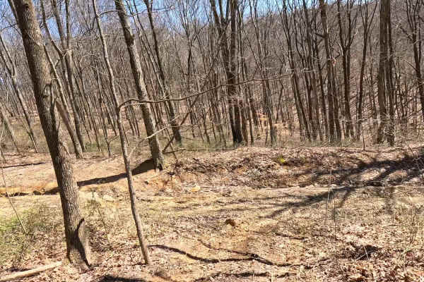
W22A
W22A is a designated bypass route off W7 that allows riders to avoid the rock ledge at the top of W22. This trail provides a safer alternative for those not wishing to attempt the main obstacle. Use W22A if you prefer to bypass the rock ledge or are operating a smaller machine. Stay aware of oncomin...
Learn more about W22A
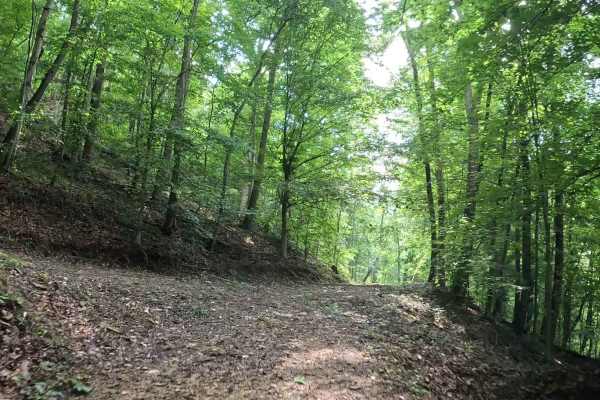
Q14A
Q14A is an easy connector trail linking Q14 and Q20, with an additional connection to Q14B. This trail provides an alternate route through the Quincy sector. The trail consists of a mix of topsoil and clay with scattered small rocks. It follows a narrow bench cut into the hillside with gentle grades...
Learn more about Q14A
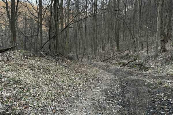
Q20A
Q20A is an easy bypass trail branching off Q20, providing an alternate route along an upper shelf before reconnecting with the main trail. The trail follows an elevated shelf line with a mix of dirt and light gravel surfaces. It offers a slightly different perspective from Q20 while maintaining a sm...
Learn more about Q20A
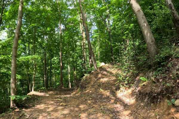
Q14B
Q14B is an easy connector trail linking Q14 and Q14A in the Quincy sector. This narrow bench trail provides an alternate route between the two trails. The trail consists of a mix of topsoil and clay with scattered small rocks. It follows a narrow bench cut into the hillside with gentle grades and mi...
Learn more about Q14B
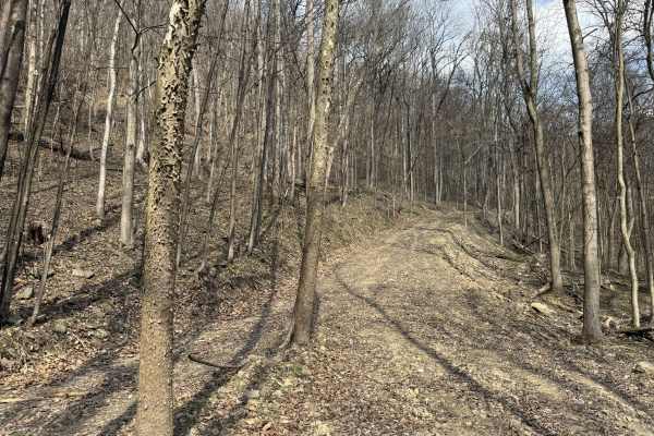
Q24
Q24 is an easy loop trail branching from Q20 and the paved entrance of AOT. This route provides a smooth, accessible loop for anyone looking to explore the Quincy area without committing to more technical terrain. The trail consists of a mix of dirt and gravel surfaces, offering a steady and predict...
Learn more about Q24
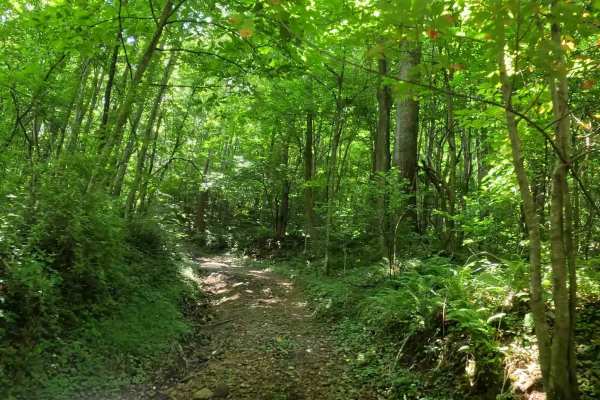
Q3C
Q3C is an easy connector trail providing access from lower Quincy to Witcher Road. It serves as a convenient shortcut for riders traveling between the Quincy and Witcher trail systems and offers direct access to nearby fuel and convenience services. The trail consists of a compacted dirt surface wit...
Learn more about Q3C
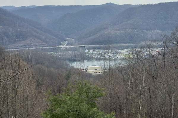
Q16
Q16 is an easy overlook trail extending from the Q5 loop in Upper Quincy. This short route offers a scenic ridge ride culminating in a panoramic view of the surrounding valley. The trail consists of a dirt base and follows a gentle ridgeline, providing a smooth and relaxed ride. The highlight of the...
Learn more about Q16
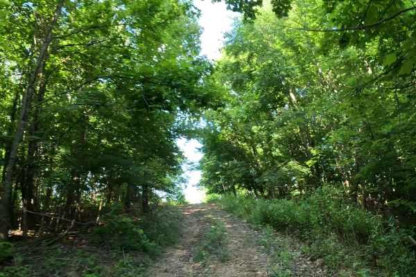
Q5A
Q5A is an easy access trail branching from Q5. It provides a direct connection to the tent camping area and serves as the primary route for vehicles entering and exiting the campground. The trail consists of a dirt and gravel surface with a short climb leading to the camping area. The route is well-...
Learn more about Q5A
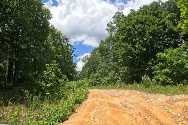
W7A
W7A is an easy offshoot trail branching from W7. It provides access to W7B and a designated play area featuring several small hill climbs. The trail consists of a gravel and clay surface with gentle grades. The route leads to an open area with several small hill climbs suitable for recreational ridi...
Learn more about W7A
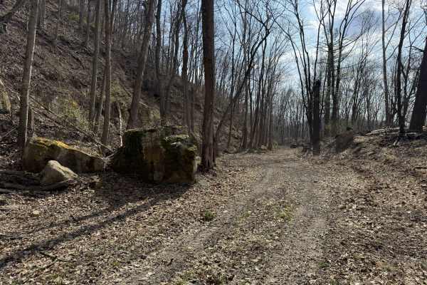
Q20
Q20 is a primary access and scenic route connecting the main paved entrance of AOT to the western edge of the property. This trail provides a smooth, easy ride while linking to multiple trail options and external access points. The trail consists of dirt and gravel surfaces with a steady, easy flow....
Learn more about Q20
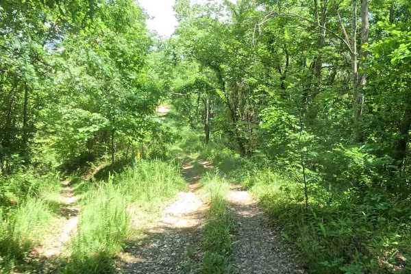
W7B
W7B is an easy offshoot trail branching from W7A. It provides access to a small play area featuring several short hill climbs. The trail consists of clay and shale with several small hill climbs. The terrain is short but can provide a fun challenge depending on surface conditions. Approach the hill ...
Learn more about W7B
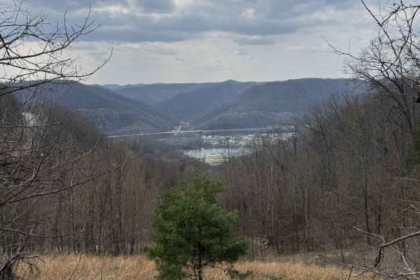
Q17
Q17 is a short overlook spur that leads to a scenic viewpoint above the town of Diamond and the Kanawha River. This trail is all about the destination, offering one of the best views in the Quincy sector. The trail consists of an easy dirt surface with a short, direct route to the overlook. The dest...
Learn more about Q17
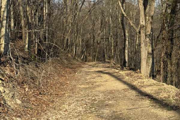
Q18
Q18 is an easy connector trail linking the Q21 hill climbs to the upper shelf of the Quincy sector. This route provides a smooth transition out of more technical terrain and into a more relaxed riding area. The trail consists of a mix of dirt and gravel surfaces, offering a steady and predictable ri...
Learn more about Q18
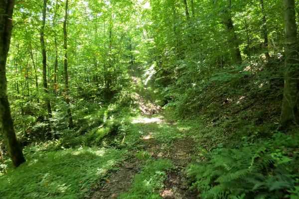
Q3D
Q3D is an easy offshoot trail branching from Q3. The trail leads to an old mine holding pond area and provides an opportunity to explore this historic feature. The trail consists of a compacted dirt surface with gentle grades and minimal obstacles. Seasonal vegetation may encroach along portions of ...
Learn more about Q3D
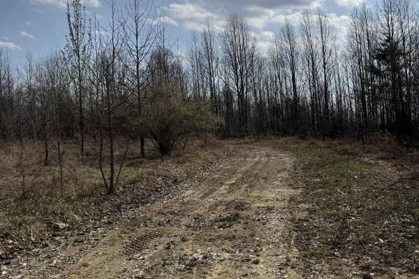
Q31
Q31 is a primary connector trail leading from the main parking lot and AOT Welcome Center into the lower Quincy trail system. This route serves as a central hub for accessing multiple trails and hill climb areas. The trail is a hard-packed gravel road, providing a smooth and consistent ride. Its wid...
Learn more about Q31
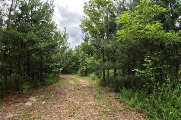
W4D
W4D is an easy connector trail accessed from W4C that continues to W2C. It provides an alternate route through the central portion of the Witcher sector. The trail consists of a mix of clay, rock, and grass with generally flat terrain. It is suitable for all vehicle types and has minimal obstacles u...
Learn more about W4D
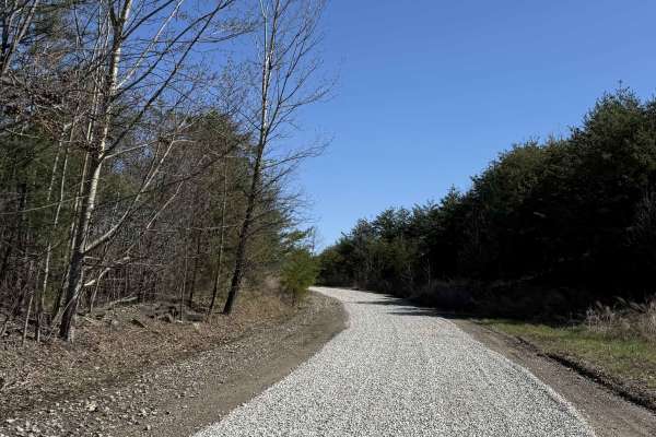
Q1
Q1 serves as the primary access corridor out of the Welcome Center, guiding riders from the Quincy staging area and into the heart of the Appalachian Outlaw Trails system. This is the gateway trail that sets you up to explore other areas of the AOT park. Expect a mix of packed dirt, light elevation ...
Learn more about Q1
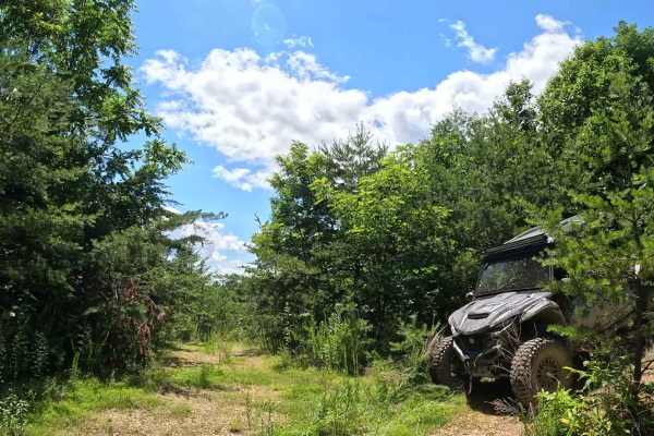
W2D
W2D is an easy offshoot trail branching from W2B and extending north into the Witcher sector. The trail terminates at a washed-out road and provides access to a dispersed camping area and a suitable location for a lunch stop. The trail consists of a mix of grass, mining slate, and shale with slight ...
Learn more about W2D
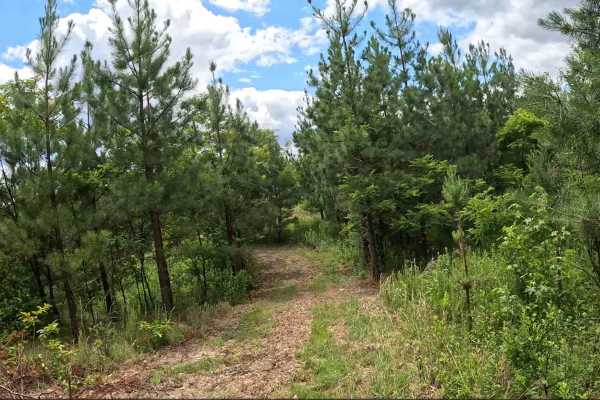
W2C
W2C is an easy connector trail accessed from W4C and W4D. It provides access to additional trails leading farther north into the Witcher sector. The trail consists of a mix of clay, gravel, and sections of grass. Terrain is generally level with minimal obstacles, making it an easy route for all vehi...
Learn more about W2C
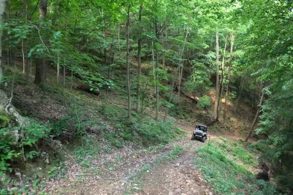
Q3B
Q3B is an easy connector trail linking Q3A and Q3. This short trail provides an alternate route for riders traveling through the lower Quincy trail system. The trail consists of compacted dirt with gentle grades and minimal obstacles. Its short length makes it a convenient connector between Q3 and Q...
Learn more about Q3B
Beginner ATV trails near Marmet, West Virginia
Explore ATV-friendly trails near you. These trails are accessible for vehicles up to 50 inches wide, perfect for ATVs and smaller off-road machines.
W22A
W22A is a designated bypass route off W7 that allows riders to avoid the rock ledge at the top of W22. This trail provides a safer alternative for those not wishing to attempt the main obstacle. Use W22A if you prefer to bypass the rock ledge or are operating a smaller machine. Stay aware of oncomin...
Learn more about W22A
Q14A
Q14A is an easy connector trail linking Q14 and Q20, with an additional connection to Q14B. This trail provides an alternate route through the Quincy sector. The trail consists of a mix of topsoil and clay with scattered small rocks. It follows a narrow bench cut into the hillside with gentle grades...
Learn more about Q14A
Q20A
Q20A is an easy bypass trail branching off Q20, providing an alternate route along an upper shelf before reconnecting with the main trail. The trail follows an elevated shelf line with a mix of dirt and light gravel surfaces. It offers a slightly different perspective from Q20 while maintaining a sm...
Learn more about Q20A
Q14B
Q14B is an easy connector trail linking Q14 and Q14A in the Quincy sector. This narrow bench trail provides an alternate route between the two trails. The trail consists of a mix of topsoil and clay with scattered small rocks. It follows a narrow bench cut into the hillside with gentle grades and mi...
Learn more about Q14B
Beginner UTV/side-by-side trails near Marmet, West Virginia
Find UTV and side-by-side trails near you. These trails accommodate vehicles up to 60 inches wide, ideal for UTVs, side-by-sides, and wider off-road rigs.
W22A
W22A is a designated bypass route off W7 that allows riders to avoid the rock ledge at the top of W22. This trail provides a safer alternative for those not wishing to attempt the main obstacle. Use W22A if you prefer to bypass the rock ledge or are operating a smaller machine. Stay aware of oncomin...
Learn more about W22A
Q14A
Q14A is an easy connector trail linking Q14 and Q20, with an additional connection to Q14B. This trail provides an alternate route through the Quincy sector. The trail consists of a mix of topsoil and clay with scattered small rocks. It follows a narrow bench cut into the hillside with gentle grades...
Learn more about Q14A
Q20A
Q20A is an easy bypass trail branching off Q20, providing an alternate route along an upper shelf before reconnecting with the main trail. The trail follows an elevated shelf line with a mix of dirt and light gravel surfaces. It offers a slightly different perspective from Q20 while maintaining a sm...
Learn more about Q20A
Q14B
Q14B is an easy connector trail linking Q14 and Q14A in the Quincy sector. This narrow bench trail provides an alternate route between the two trails. The trail consists of a mix of topsoil and clay with scattered small rocks. It follows a narrow bench cut into the hillside with gentle grades and mi...
Learn more about Q14B
The onX Offroad Difference
onX Offroad combines trail photos, descriptions, difficulty ratings, width restrictions, seasonality, and more in a user-friendly interface. Available on all devices, with offline access and full compatibility with CarPlay and Android Auto. Discover what you're missing today!
Open Trail Map