
Beginner Off-Road Trails
Near Kendall, Washington
Explore All Beginner Trails Near Kendall, Washington
Beginner Off-Road Trails Near Kendall, Washington
Discover the best beginner-friendly off-road trails near you. These easier, lower-rated trails are a great place to start — browse trail maps, check difficulty ratings, and find your next adventure.
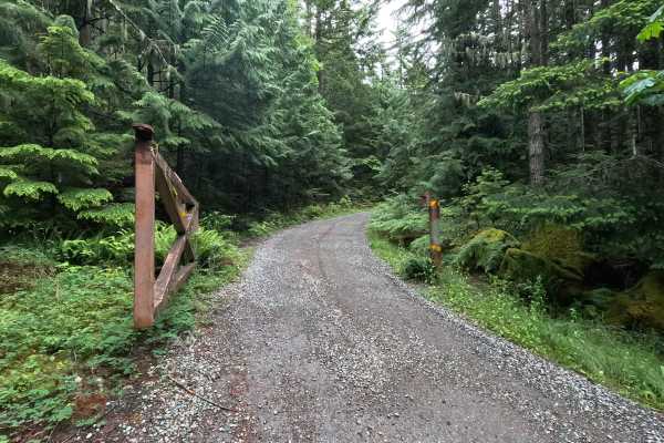
Lower West Church - FS 3120
Lower West Church is a single-lane 3-mile point-to-point gravel road that begins at a gated entrance and climbs through forested terrain via a series of switchbacks. The road traverses steep hillsides in places, with significant drop-offs along portions of the route. Several dispersed campsites can ...
Learn more about Lower West Church - FS 3120
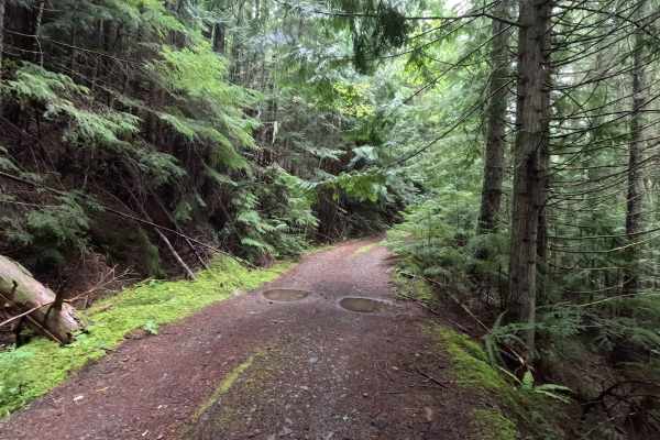
West View - FS 3124
West View is a 1.3-mile out-and-back route that climbs to the top of West Church Ridge. The single-lane road winds through forested terrain, with some brush encroachment narrowing the corridor in places. A few rocky sections near the top add some variety to the drive, but are easily passable for mos...
Learn more about West View - FS 3124

Middle Fork Nooksack - FS 38
Middle Fork Nooksack is a 12.6-mile out-and-back gravel road located east of Deming and ending at Ridley Creek Trailhead. The road surface gets procedurally rougher, starting as a wide gravel road with some potholes and ending as a tight trail with some ruts and large deep potholes. The first 4.8 mi...
Learn more about Middle Fork Nooksack - FS 38
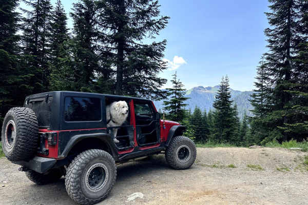
Canyon Creek Road
This 15.2 miles out and back trail heads up to the Damfino Lakes Hiking Trailhead, which becomes a multi-use trail from 1 AUG to 30 SEP for horses and motorcycles. This road gives excellent views of Church, Bearpaw, and Excelsior Mountains with Mount Baker in the background. This road is passable by...
Learn more about Canyon Creek Road
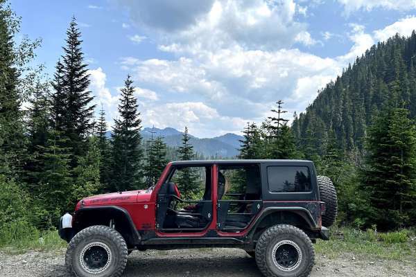
Canyon Ridge Road
This 14-mile out-and-back trail climbs up to the canyon Ridgeline and ends at the canyon ridge trailhead (motorcycle trail). This trail gives great views of Bald Mountain and the Canyon valley area. There is a dispersed camping area along this road. The trail starts paved and then is a gravel forest...
Learn more about Canyon Ridge Road
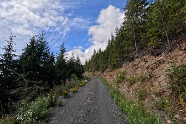
Clearwater - 38
Clearwater - 38 is a 1.4-mile out-and-back route open to street-legal vehicles. This single-lane gravel road climbs steadily through a series of steep switchbacks on Washington DNR land, and a Discover Pass is required to recreate in the area. The route features several narrow, exposed sections with...
Learn more about Clearwater - 38
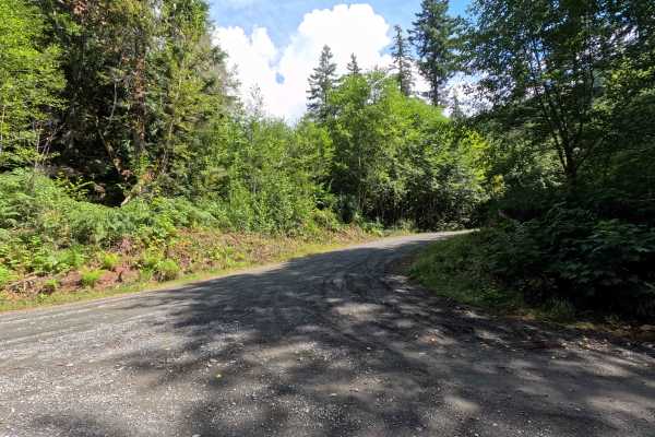
MF-2513
MF-2513 is a 1.6-mile out-and-back route open to street-legal vehicles. This winding, single-lane gravel road travels through Washington DNR land, and a Discover Pass is required to recreate in the area. The route features a few small ruts and occasional loose gravel, with vegetation becoming progre...
Learn more about MF-2513
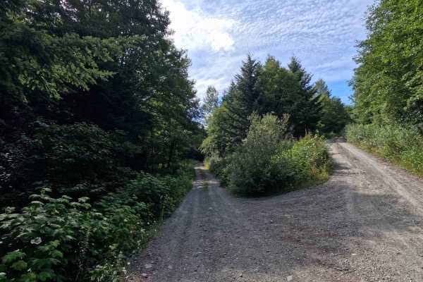
Van Zandt - 41
Van Zandt - 41 is a 1.4-mile out-and-back route open to street-legal vehicles. This single-lane gravel road travels through Washington DNR land, and a Discover Pass is required to recreate in the area. Several established dispersed campsites can be found along the route, while the final few hundred ...
Learn more about Van Zandt - 41
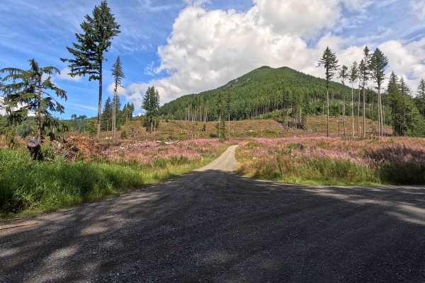
Clearwater Creek Mainline
Clearwater Mainline is a 5.2-mile out-and-back route open to street-legal vehicles. This single-lane gravel road travels through Washington DNR land, and a Discover Pass is required to recreate in the area. The route is generally easy, with occasional potholes and numerous spur roads that provide op...
Learn more about Clearwater Creek Mainline
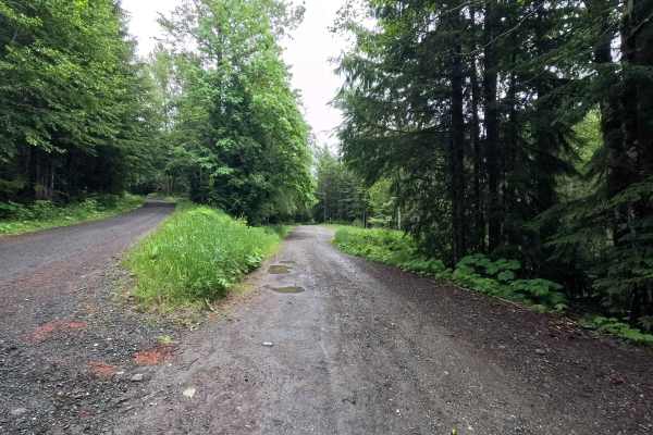
Whistler Creek - FS 3160
Whistler Creek is a 4.2-mile out-and-back route that follows a single-lane gravel road into a remote section of the forest. A passable washout is encountered near mile 0.3, followed by several moderate water bars along the route. As the road climbs, the surface becomes rougher, steeper, and increasi...
Learn more about Whistler Creek - FS 3160
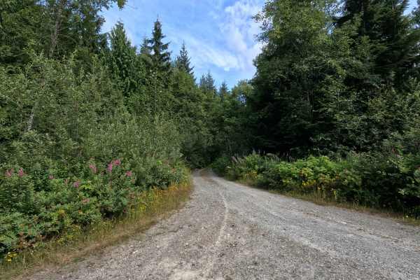
Van Zandt - 34
Van Zandt - 34 is a 1.4-mile out-and-back route open to street-legal vehicles. This single-lane gravel road travels through Washington DNR land, and a Discover Pass is required to recreate in the area. The road surface remains in good condition with only a few potholes, but dense vegetation quickly ...
Learn more about Van Zandt - 34
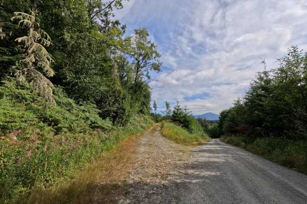
Van Zandt - 21
Van Zandt - 21 is a 1.2-mile point-to-point route open to street-legal vehicles. This single-lane gravel road travels through Washington DNR land, and a Discover Pass is required to recreate in the area. The route is heavily overgrown for much of its length, creating a very narrow driving corridor w...
Learn more about Van Zandt - 21
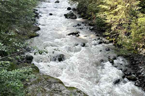
Glacier Creek Road
This 5.4 mile out and back trail once accessed several backcountry hiking trails and views of the glaciers on Mt. Baker. This road has been washed out by the creek in multiple areas and has been closed to motorized vehicles at 2.9 miles but still open for hiking. This trail is passable by 2WD, AWD, ...
Learn more about Glacier Creek Road
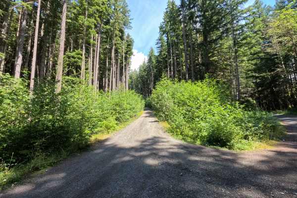
North Side Stewart Peak
North Side Stewart Peak is a 2.2-mile out-and-back route open to street-legal vehicles. This single-lane gravel road climbs steadily through a series of switchbacks on Washington DNR land, and a Discover Pass is required to recreate in the area. The route features occasional loose gravel, increasing...
Learn more about North Side Stewart Peak
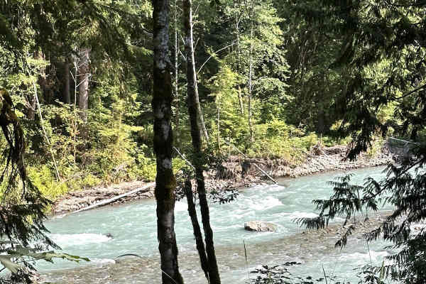
Nooksack River Trail
This 6.2 mile out and back trail used to run along the Nooksack River and then up the Wells Creek Valley, but a washout on the road around 3.4 miles in has closed the upper portion to vehicles. This area has several dispersed camping areas along the Nooksack River. This road is passable by 2WD, AWD,...
Learn more about Nooksack River Trail
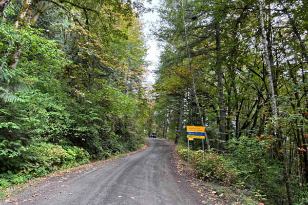
Liumchen East
Liumchen East Forest Service Road is primarily a gravel surface with many waterbars, some potholes, a few ruts, and some loose gravel on some of the slopes. The road is generally in good condition and would be drivable by a 2WD vehicle if not for the deeper waterbars. It starts out as a wide Forest ...
Learn more about Liumchen East
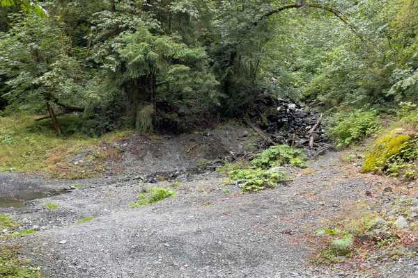
Church Mountain Road
Church Mountain Road is an easy 5-mile round-trip gravel road that provides access to the Church Mountain hiking trailhead. From the trailhead, the hiking trail is approximately 8 miles round-trip with a ~3,800 feet elevation gain and offers stunning views of Mount Baker and the surrounding peaks. T...
Learn more about Church Mountain Road
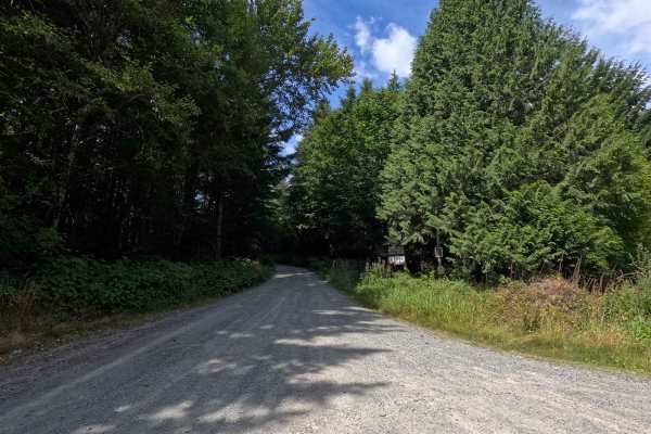
Van Zandt Mainline
Van Zandt Mainline is a 6.5-mile out-and-back route open to street-legal vehicles. This single-lane gravel road travels through Washington DNR land, and a Discover Pass is required to recreate in the area. The route is generally easy to navigate, with only sparse potholes along the way. Several esta...
Learn more about Van Zandt Mainline
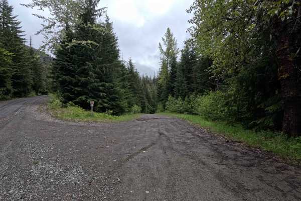
Bear Paw - FS 3170
Bear Paw is a 2.7-mile out-and-back route that follows a single-lane gravel road through forested terrain. The road features several large potholes and gradually becomes rougher as it gains elevation. Rutted sections and loose rock are encountered near the upper end of the route, requiring more atte...
Learn more about Bear Paw - FS 3170
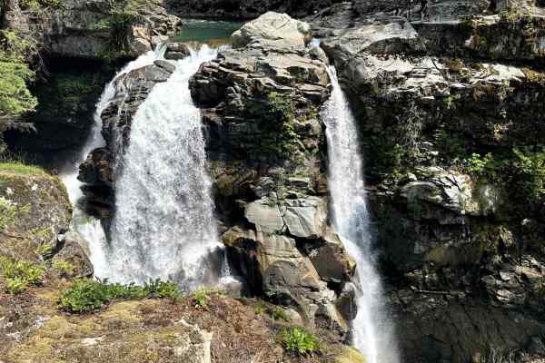
Well's Creek Road
This 24.4-mile out-and-back trail runs along Wells Creek and ends at the Cougar Divide Trailhead. This trail has many beautiful views of Mt. Baker and the surrounding canyons. Nooksack Falls is the most popular waterfall along this trail, but there are several other waterfalls to see. The trail is a...
Learn more about Well's Creek Road
Beginner ATV trails near Kendall, Washington
Explore ATV-friendly trails near you. These trails are accessible for vehicles up to 50 inches wide, perfect for ATVs and smaller off-road machines.
Middle Fork Nooksack - FS 38
Middle Fork Nooksack is a 12.6-mile out-and-back gravel road located east of Deming and ending at Ridley Creek Trailhead. The road surface gets procedurally rougher, starting as a wide gravel road with some potholes and ending as a tight trail with some ruts and large deep potholes. The first 4.8 mi...
Learn more about Middle Fork Nooksack - FS 38
Canyon Creek Road
This 15.2 miles out and back trail heads up to the Damfino Lakes Hiking Trailhead, which becomes a multi-use trail from 1 AUG to 30 SEP for horses and motorcycles. This road gives excellent views of Church, Bearpaw, and Excelsior Mountains with Mount Baker in the background. This road is passable by...
Learn more about Canyon Creek Road
Canyon Ridge Road
This 14-mile out-and-back trail climbs up to the canyon Ridgeline and ends at the canyon ridge trailhead (motorcycle trail). This trail gives great views of Bald Mountain and the Canyon valley area. There is a dispersed camping area along this road. The trail starts paved and then is a gravel forest...
Learn more about Canyon Ridge Road
Glacier Creek Road
This 5.4 mile out and back trail once accessed several backcountry hiking trails and views of the glaciers on Mt. Baker. This road has been washed out by the creek in multiple areas and has been closed to motorized vehicles at 2.9 miles but still open for hiking. This trail is passable by 2WD, AWD, ...
Learn more about Glacier Creek Road
Beginner UTV/side-by-side trails near Kendall, Washington
Find UTV and side-by-side trails near you. These trails accommodate vehicles up to 60 inches wide, ideal for UTVs, side-by-sides, and wider off-road rigs.
Middle Fork Nooksack - FS 38
Middle Fork Nooksack is a 12.6-mile out-and-back gravel road located east of Deming and ending at Ridley Creek Trailhead. The road surface gets procedurally rougher, starting as a wide gravel road with some potholes and ending as a tight trail with some ruts and large deep potholes. The first 4.8 mi...
Learn more about Middle Fork Nooksack - FS 38
Canyon Creek Road
This 15.2 miles out and back trail heads up to the Damfino Lakes Hiking Trailhead, which becomes a multi-use trail from 1 AUG to 30 SEP for horses and motorcycles. This road gives excellent views of Church, Bearpaw, and Excelsior Mountains with Mount Baker in the background. This road is passable by...
Learn more about Canyon Creek Road
Canyon Ridge Road
This 14-mile out-and-back trail climbs up to the canyon Ridgeline and ends at the canyon ridge trailhead (motorcycle trail). This trail gives great views of Bald Mountain and the Canyon valley area. There is a dispersed camping area along this road. The trail starts paved and then is a gravel forest...
Learn more about Canyon Ridge Road
Glacier Creek Road
This 5.4 mile out and back trail once accessed several backcountry hiking trails and views of the glaciers on Mt. Baker. This road has been washed out by the creek in multiple areas and has been closed to motorized vehicles at 2.9 miles but still open for hiking. This trail is passable by 2WD, AWD, ...
Learn more about Glacier Creek Road
The onX Offroad Difference
onX Offroad combines trail photos, descriptions, difficulty ratings, width restrictions, seasonality, and more in a user-friendly interface. Available on all devices, with offline access and full compatibility with CarPlay and Android Auto. Discover what you're missing today!
Open Trail Map