Clearwater - 38

Total Miles1.4
Technical Rating
2Easy
Best TimeSpring, Summer, Fall
Trail TypeFull-Width Road
Accessible By
Open Trail Map

Trail Overview

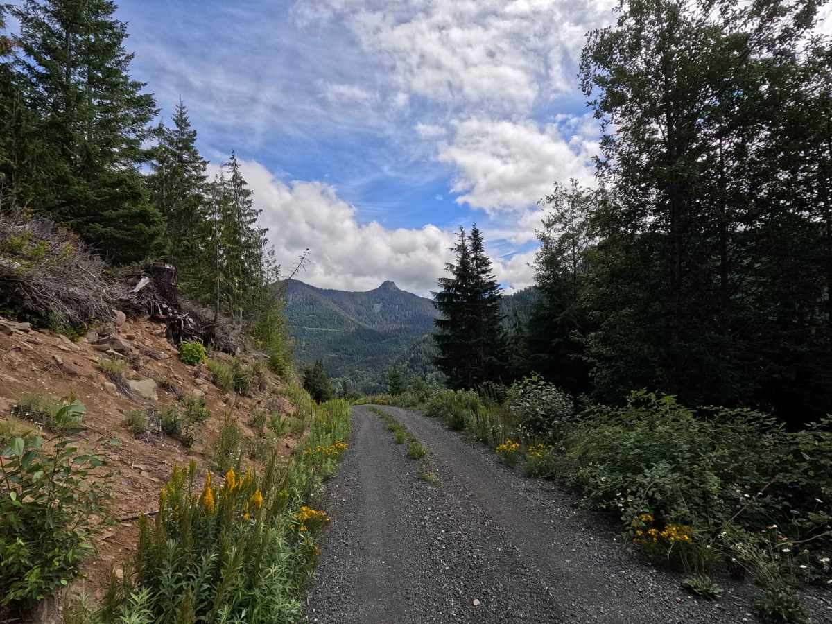
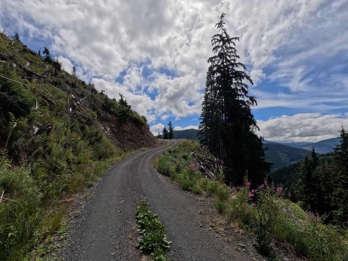
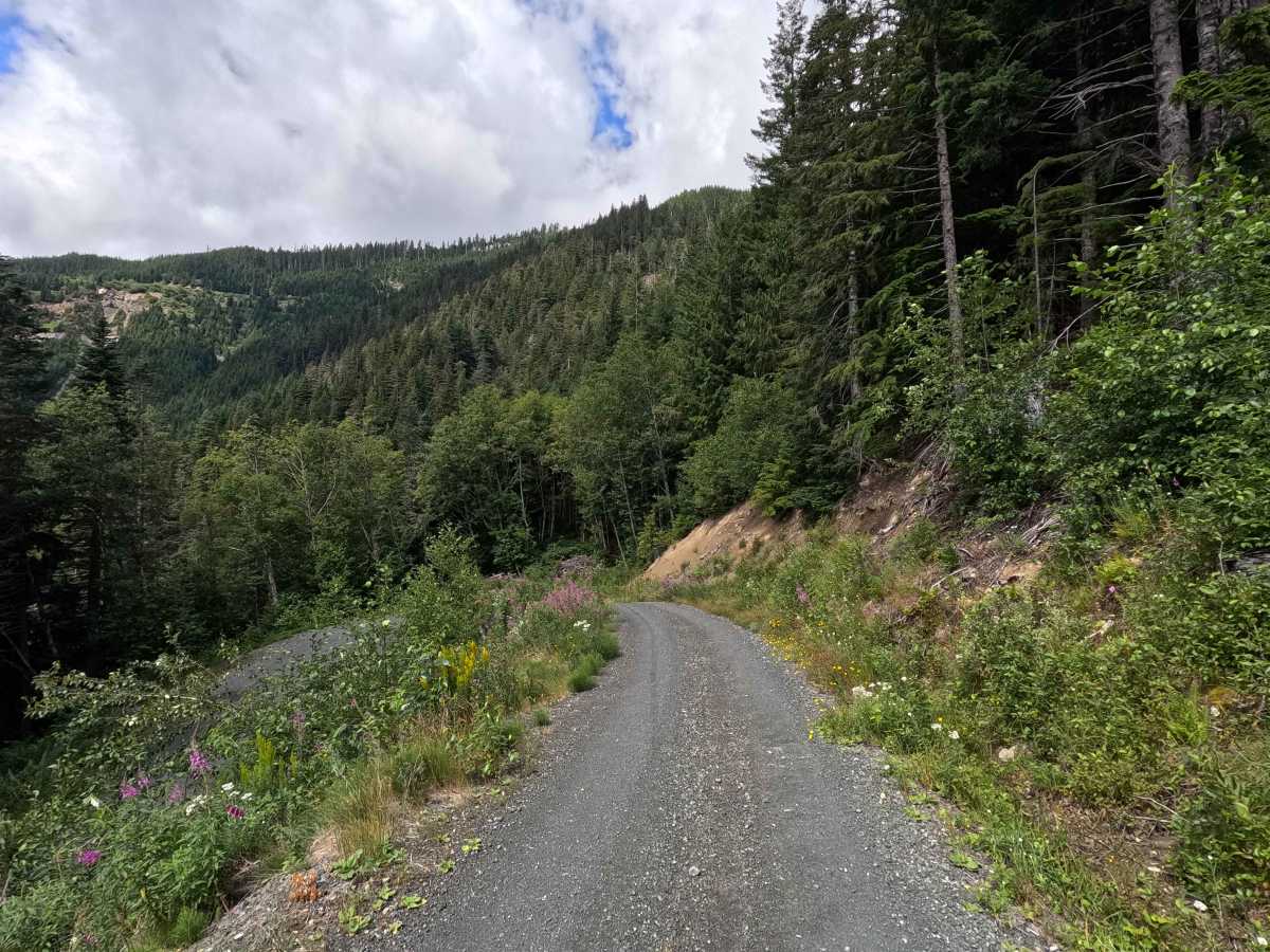
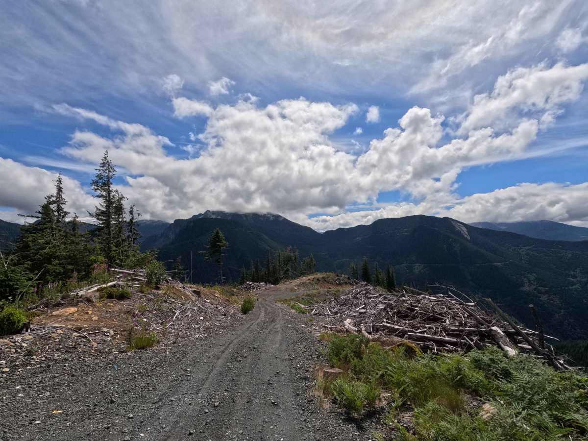
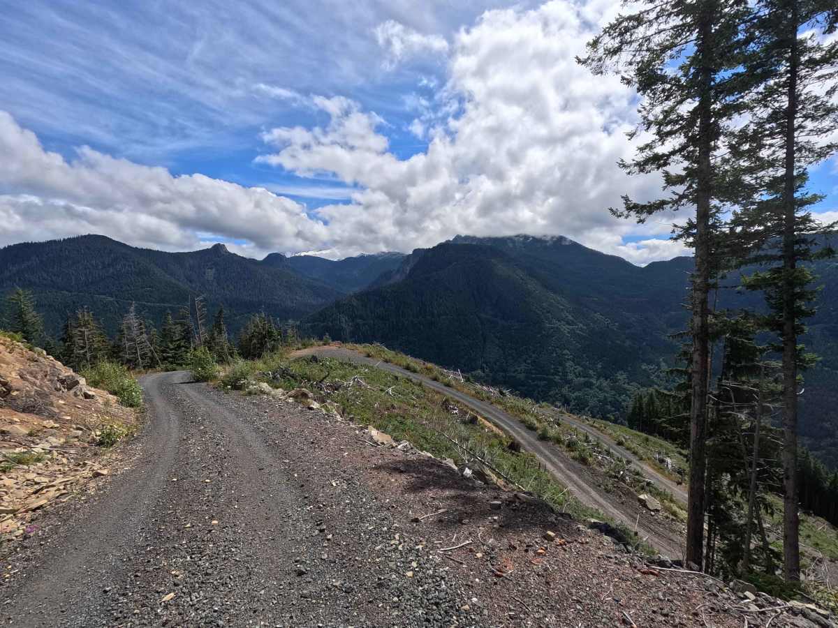
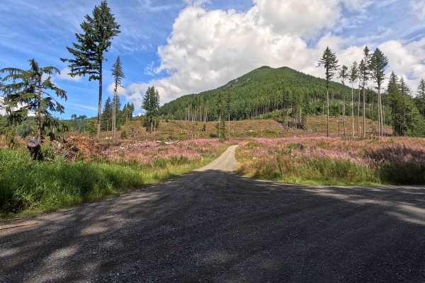
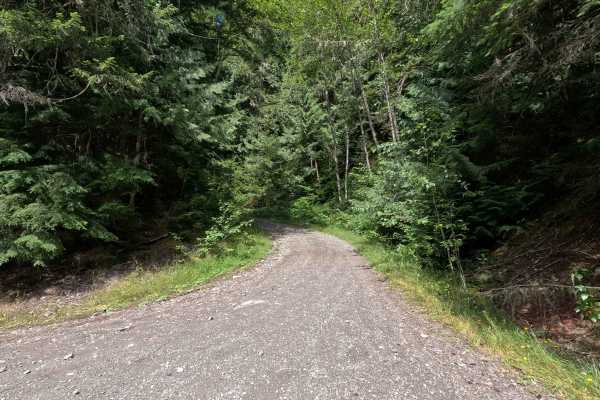
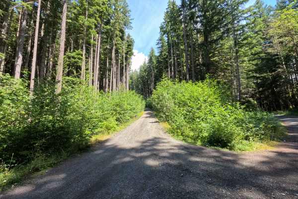
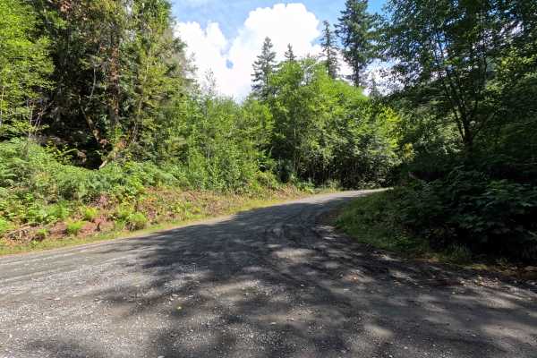
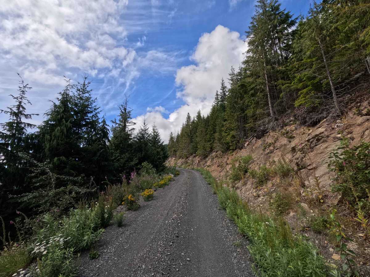
Clearwater - 38 is a 1.4-mile out-and-back route open to street-legal vehicles. This single-lane gravel road climbs steadily through a series of steep switchbacks on Washington DNR land, and a Discover Pass is required to recreate in the area. The route features several narrow, exposed sections with loose gravel in places before reaching multiple scenic dispersed campsites near the top, many of which offer sweeping views of the surrounding mountains.

Photos of Clearwater - 38

Difficulty

Clearwater - 38 features a road surface that is generally in good condition, a sustained steep climb, numerous switchbacks, loose gravel, and exposed sections that require careful driving. Most high-clearance vehicles can complete the route under normal conditions, though less experienced drivers should use caution on the tighter switchbacks.

Technical Rating

2

Clearwater - 38 Trail can be accessed by the following ride types:

  • High Clearance
  • Full Width

Clearwater - 38 Map

The onX Offroad Difference

onX Offroad combines trail photos, descriptions, difficulty ratings, width restrictions, seasonality, and more in a user-friendly interface. Available on all devices, with offline access and full compatibility with CarPlay and Android Auto. Discover what you're missing today!

Open Trail Map