Trail Overview
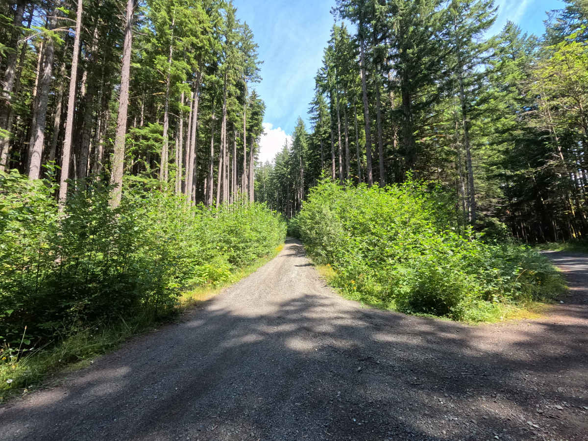
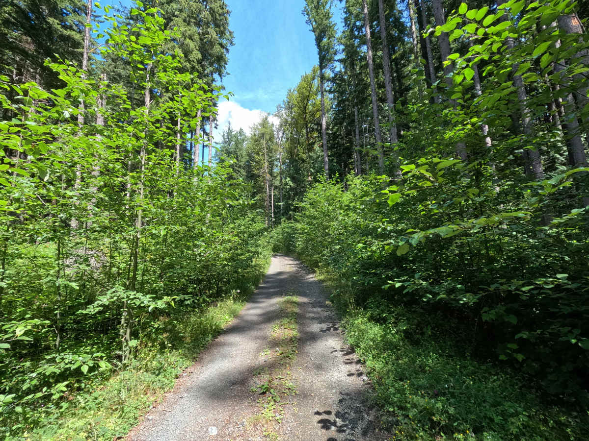
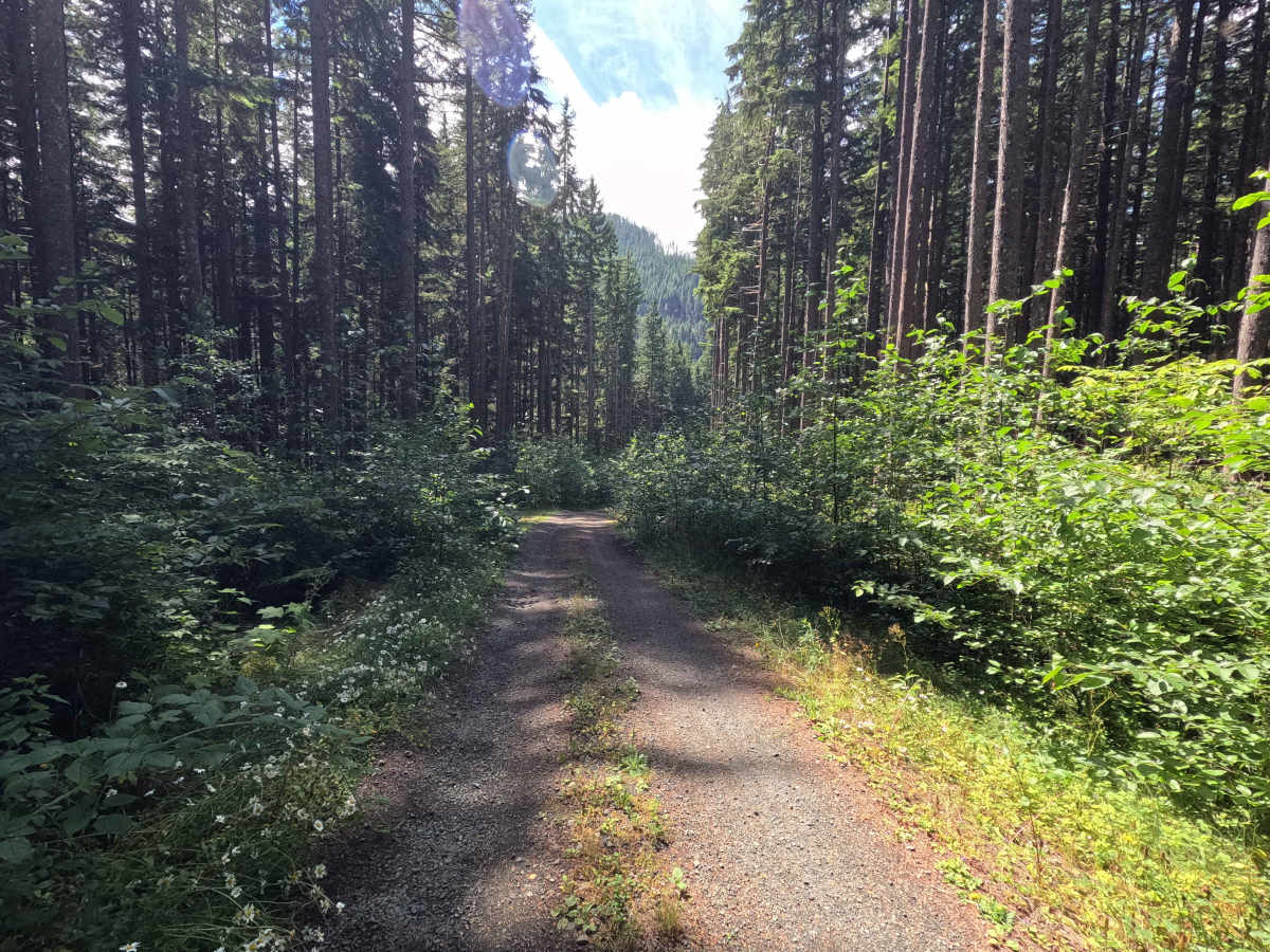
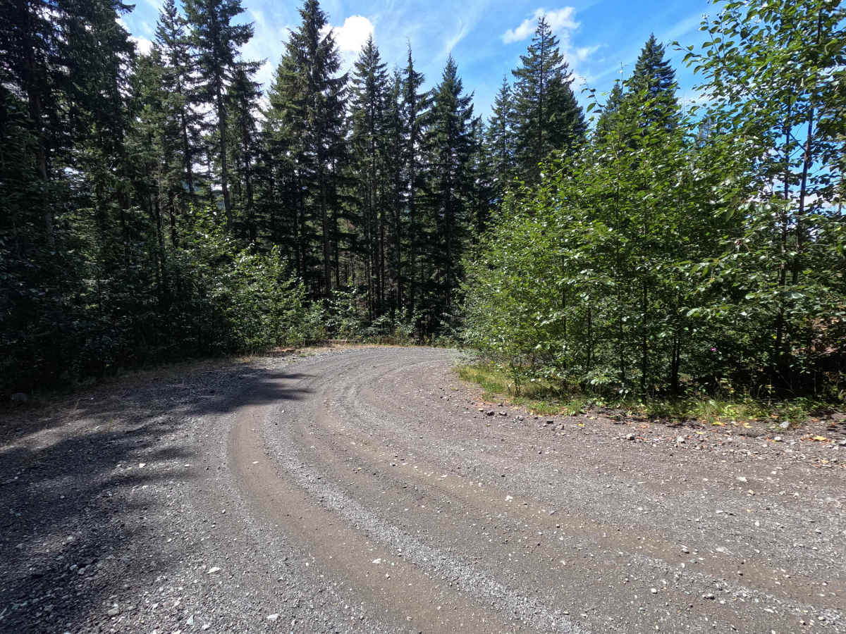
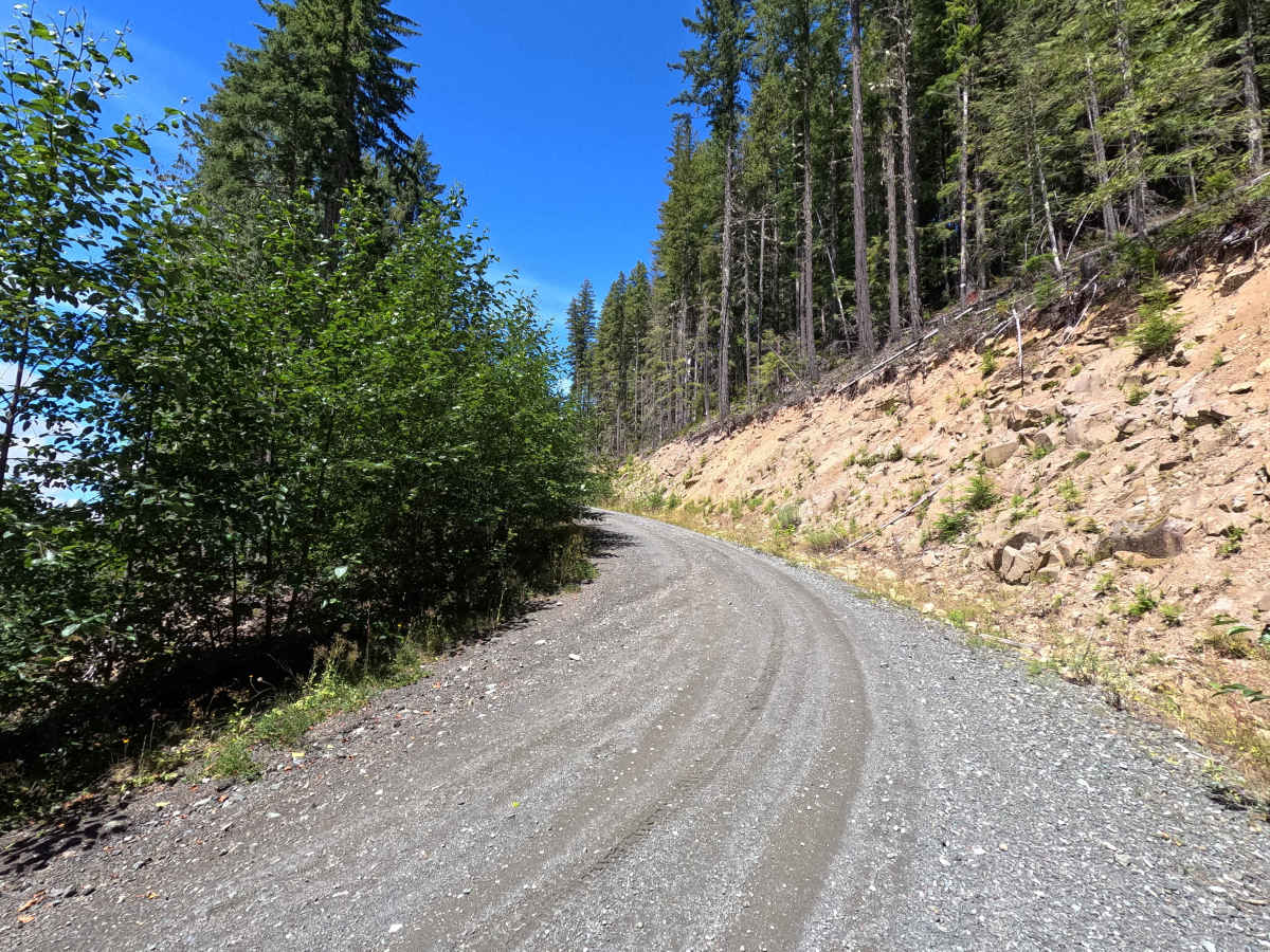
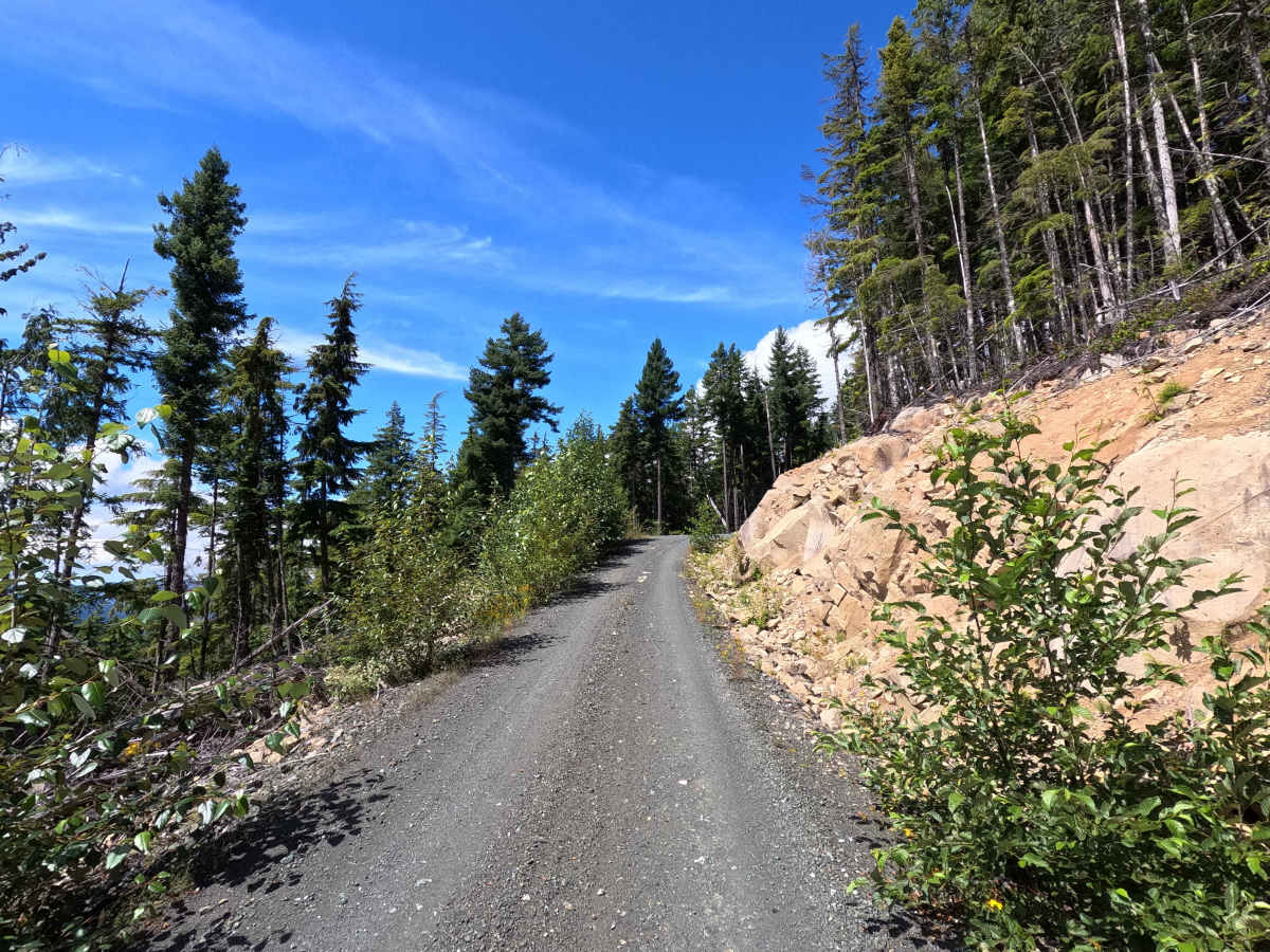
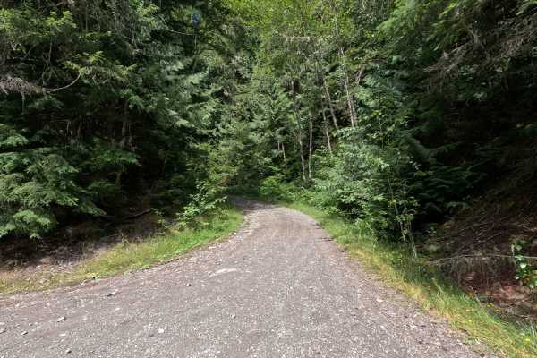
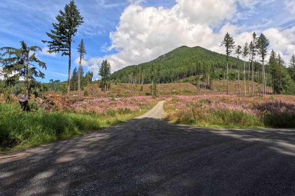
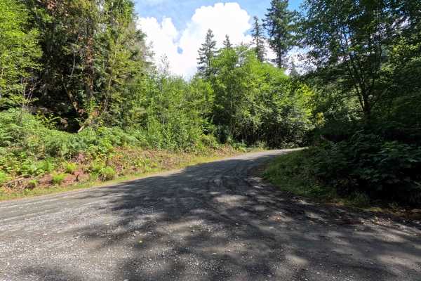
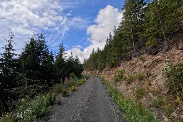
North Side Stewart Peak is a 2.2-mile out-and-back route open to street-legal vehicles. This single-lane gravel road climbs steadily through a series of switchbacks on Washington DNR land, and a Discover Pass is required to recreate in the area. The route features occasional loose gravel, increasing brush encroachment, and several shelf-road sections as it gains elevation. Near the end, the road opens to outstanding views of the surrounding mountains before terminating at a landslide. Although the road continues beyond the slide, the remaining passage is only safely passable by very narrow vehicles such as dirt bikes and ATVs.
Difficulty
North Side Stewart Peak features a combination of steep switchbacks, shelf-road sections, loose gravel, and increasing brush, requiring attentive driving. The route is suitable for most high-clearance vehicles under normal conditions, but drivers should exercise caution on the exposed sections and turn around at the landslide.