MF-2513

Total Miles1.6
Technical Rating
2Easy
Best TimeSpring, Summer, Fall
Trail TypeFull-Width Road
Accessible By
Open Trail Map

Trail Overview

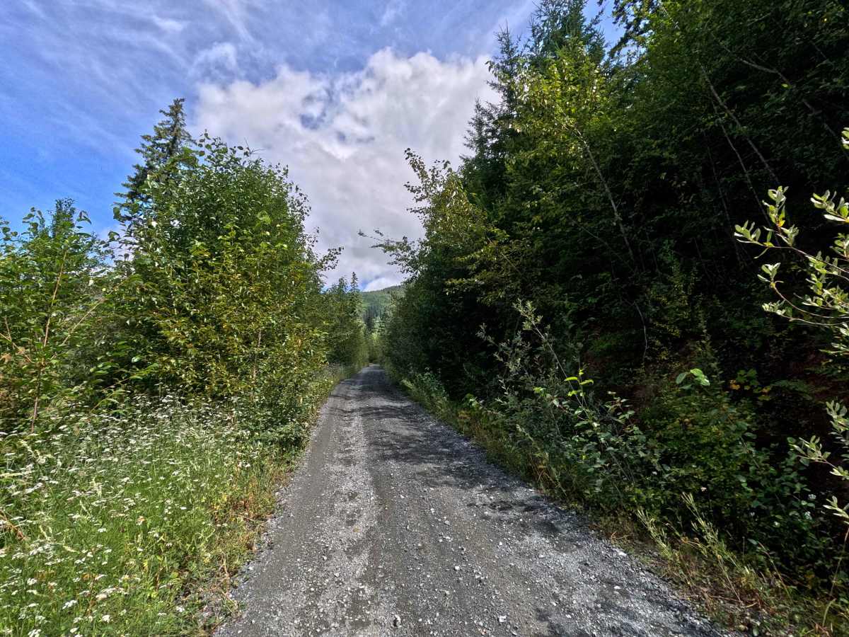
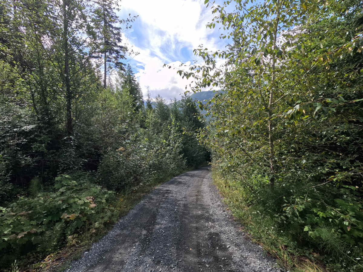
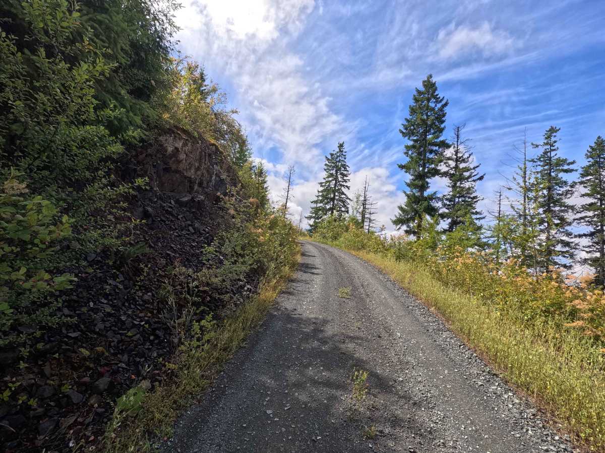
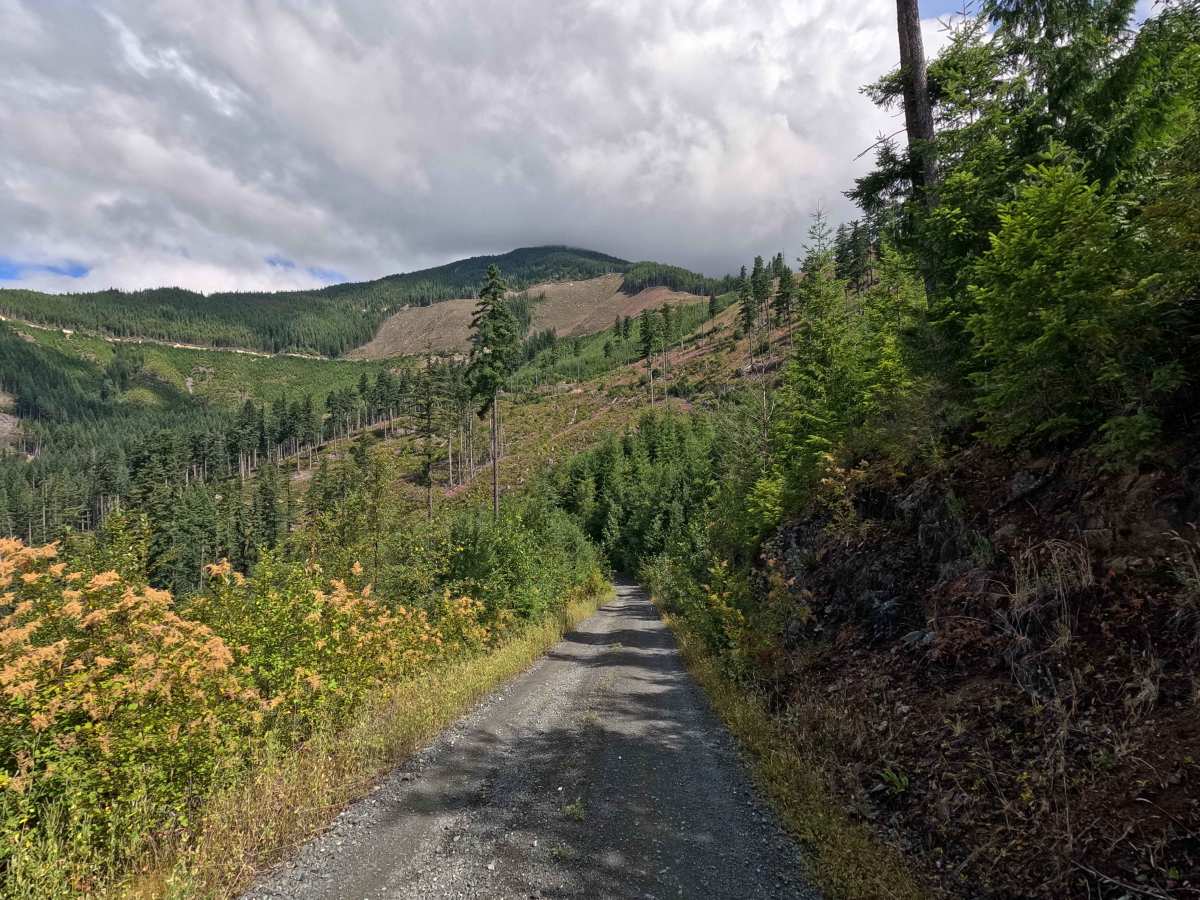
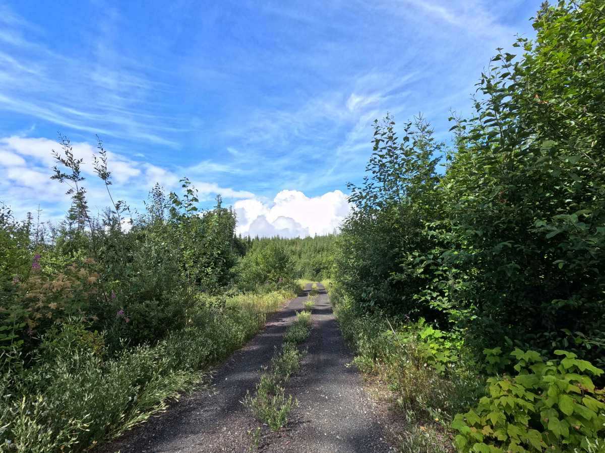
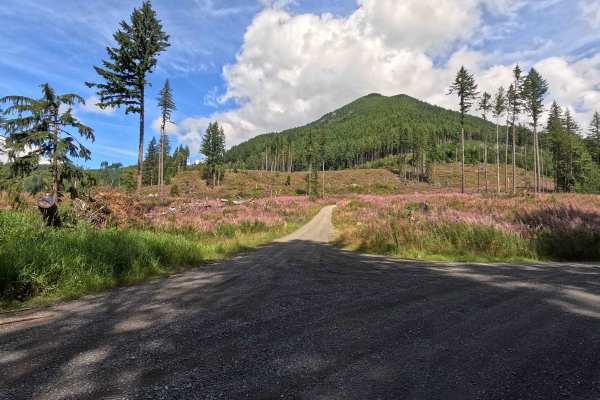
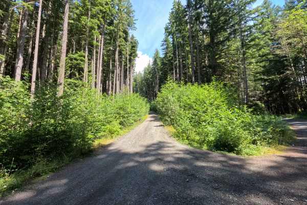
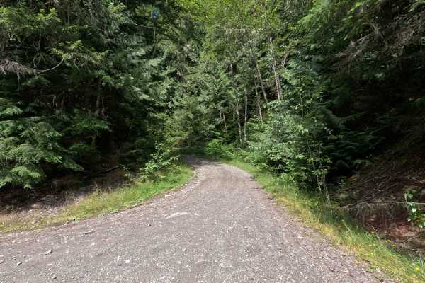
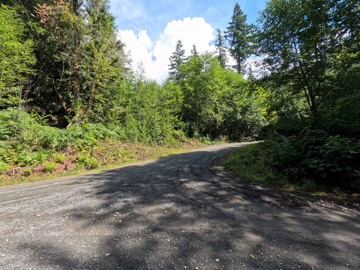
MF-2513 is a 1.6-mile out-and-back route open to street-legal vehicles. This winding, single-lane gravel road travels through Washington DNR land, and a Discover Pass is required to recreate in the area. The route features a few small ruts and occasional loose gravel, with vegetation becoming progressively more overgrown toward the end before reaching a small turnaround. Several spur roads branch off the main route, providing access to additional viewpoints, while the upper portions of the road offer impressive views of the North Cascades.

Photos of MF-2513

Difficulty

MF-2513 is rated Easy. The route is primarily a gravel road with only minor ruts and occasional loose gravel. Increasing brush encroachment near the end may result in light pinstriping, but most high-clearance vehicles should have little difficulty under normal conditions.

Technical Rating

2

MF-2513 Trail can be accessed by the following ride types:

  • High Clearance
  • Full Width

MF-2513 Map

The onX Offroad Difference

onX Offroad combines trail photos, descriptions, difficulty ratings, width restrictions, seasonality, and more in a user-friendly interface. Available on all devices, with offline access and full compatibility with CarPlay and Android Auto. Discover what you're missing today!

Open Trail Map