Middle Fork Nooksack - FS 38

Total Miles12.5
Technical Rating
3Easy
Best TimeSpring, Summer, Fall
Trail TypeFull-Width Road
Accessible By
Open Trail Map

Trail Overview

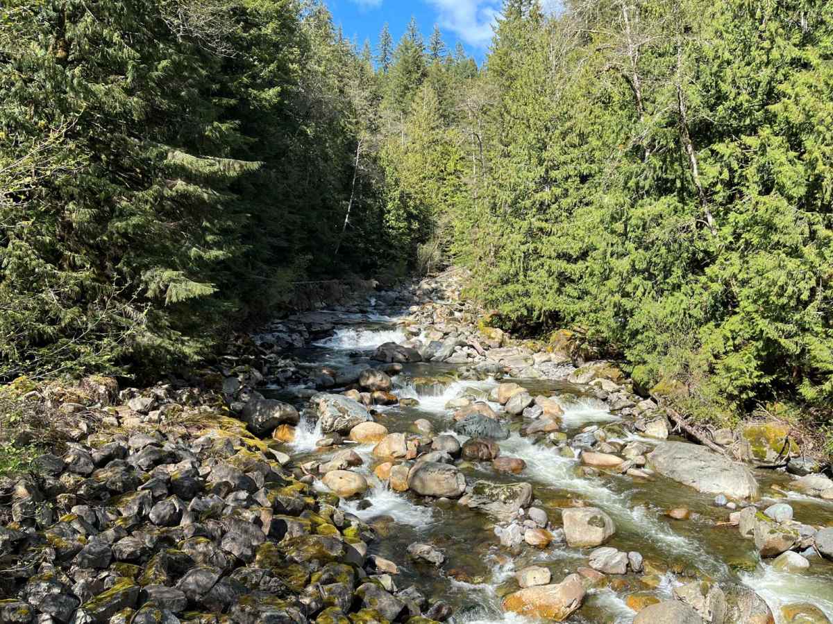
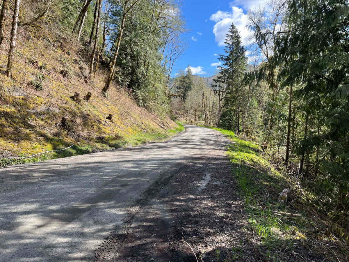
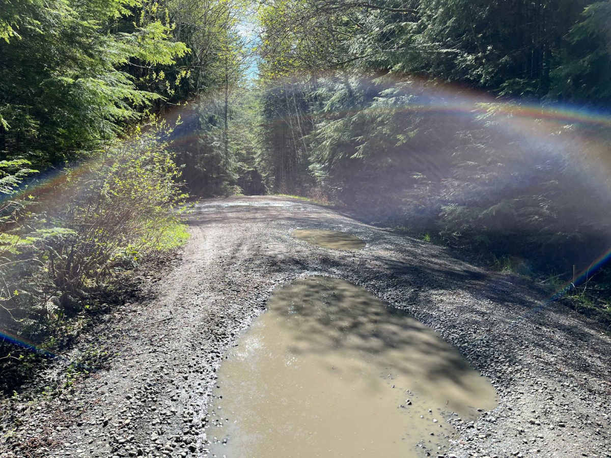
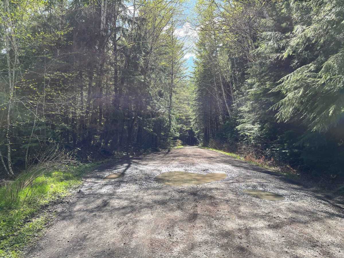
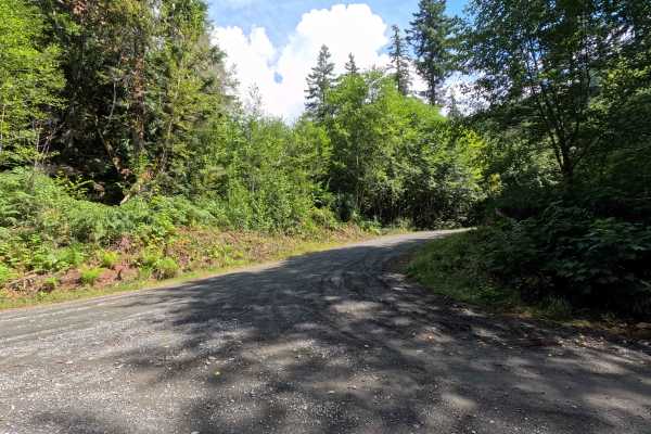
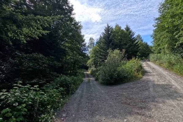
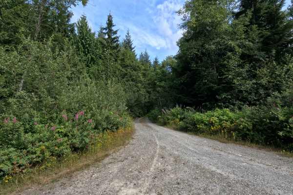
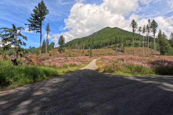
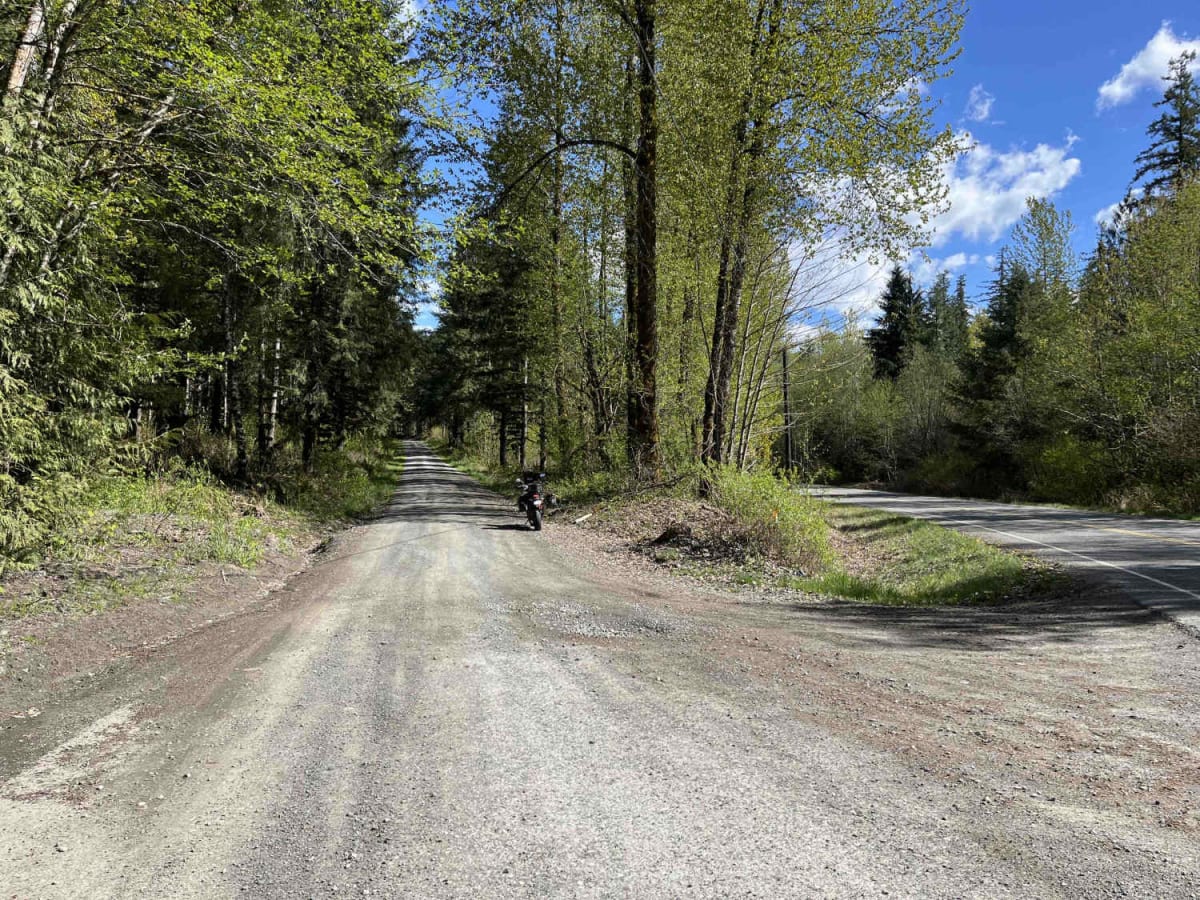
Middle Fork Nooksack is a 12.6-mile out-and-back gravel road located east of Deming and ending at Ridley Creek Trailhead. The road surface gets procedurally rougher, starting as a wide gravel road with some potholes and ending as a tight trail with some ruts and large deep potholes. The first 4.8 miles are passable to any vehicle, but after this point, some lower-clearance cars may have trouble. There are several bridges with views of creeks and rivers that feed into the Middle Fork Nooksack River. The first 9 miles are located within DNR land, with the last several miles ending in the Mount Baker National Forest. A Discover Pass is required. Middle Fork Nooksack, past mile 9, is subject to a seasonal closure from 12/01 to 6/15.

Photos of Middle Fork Nooksack - FS 38

Difficulty

The first several miles are easily passable by any vehicle, but as the trail continues it will become rougher.

Technical Rating

3

Status Reports

Add Status Report
Shashank Bharadwaj
Jul 03, 2026
Obstructed
I thought this would reopen in July but it is blocked with rocks 7.5 miles in on the weekend of the 4th. Plenty of other side roads with picturesque campsites. We were rewarded with views of Mount Baker.
Peyton Humbert
Jun 28, 2026
2014 Ford F-150
Obstructed
Fun Sunday drive! Road was blocked about 7 miles up.
Cheyguy lane
May 30, 2026
1998 Nissan Pathfinder
Obstructed
About 10 cars on trail and plenty of pull outs to take a quick break. I pulled over had some lunch next to the creek
Wesley Miller
Mar 30, 2026
2023 Subaru Crosstrek
Obstructed
You can’t finish the whole trail as there is a rock blockade about 5 miles from the end. Other than that, easy and enjoyable trail.
Zach Williams
Jan 31, 2026
2018 Toyota 4Runner
Open
NormalMuddy/Wet
Easy road to get up and down, you got your pot holes as usual. Only thing about this one road is the dispersed camping is blocked off by rocks so you can only go so far…then a fork in the road which leads to a closed bridge at the bottom. You got some pull offs here and there but not much dispersed camping as you think.
Nathan Campbell
Jan 12, 2025
Open
main road is very smooth. no issues at all for a Honda fit. only went up about 4 miles looking for a camp site. no snow up to that point
Payton Meyer
Jun 15, 2024
2007 Jeep Wrangler
Open
Muddy/Wet

Middle Fork Nooksack - FS 38 Trail can be accessed by the following ride types:

  • Single Track
  • 50 Inch
  • 60 Inch
  • High Clearance
  • Full Width

Middle Fork Nooksack - FS 38 Map

The onX Offroad Difference

onX Offroad combines trail photos, descriptions, difficulty ratings, width restrictions, seasonality, and more in a user-friendly interface. Available on all devices, with offline access and full compatibility with CarPlay and Android Auto. Discover what you're missing today!

Open Trail Map