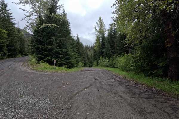
Liumchen East

Total Miles8.8
Technical Rating
3Easy
Best TimeSpring, Summer, Fall
Trail TypeFull-Width Road
Accessible By
Open Trail Map

Trail Overview

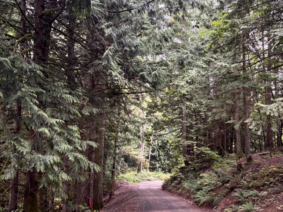
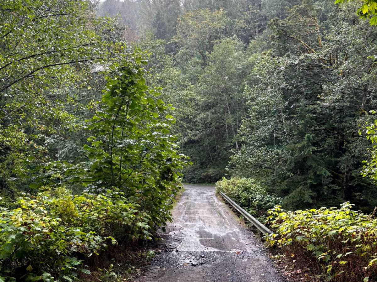
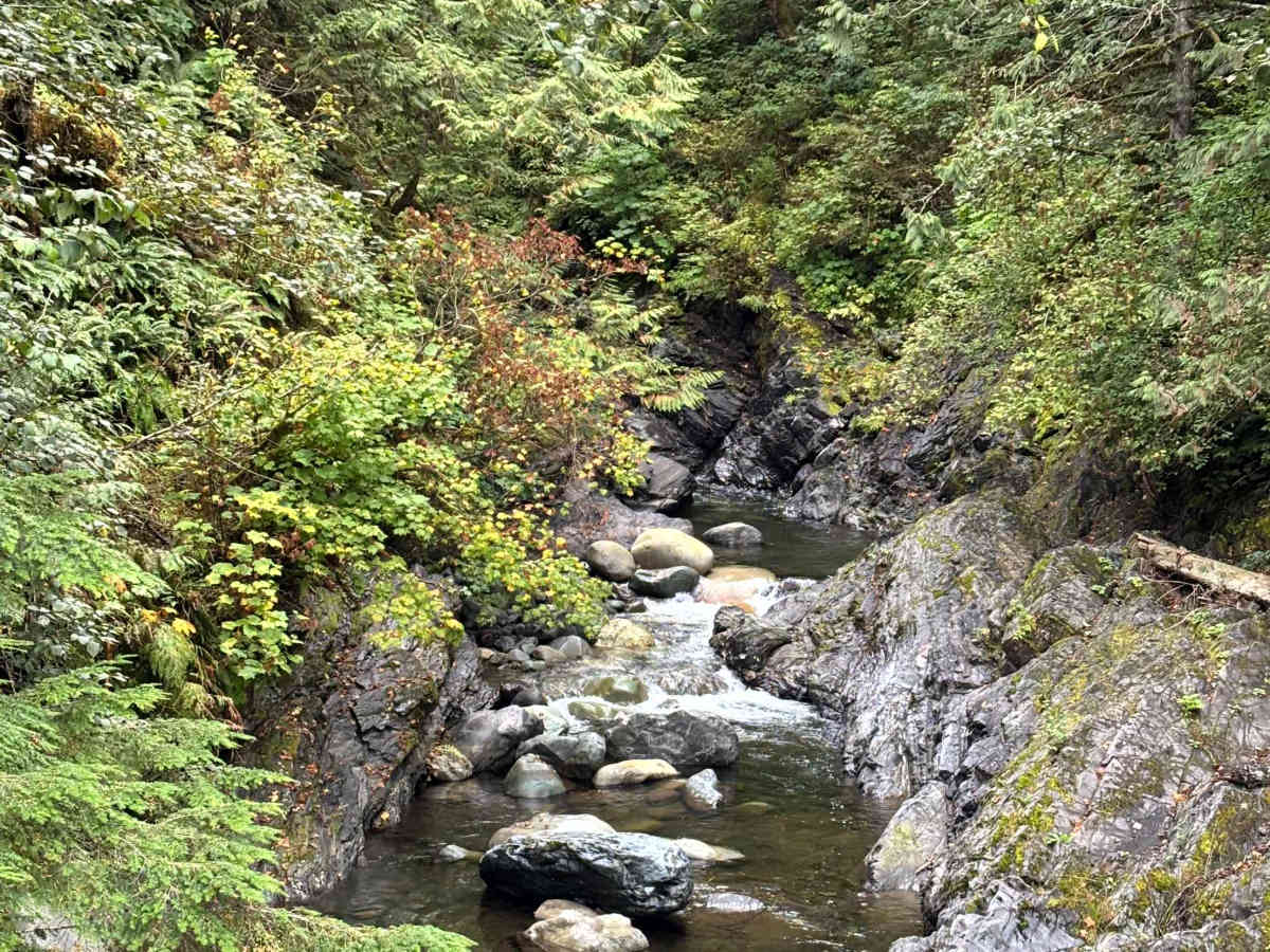
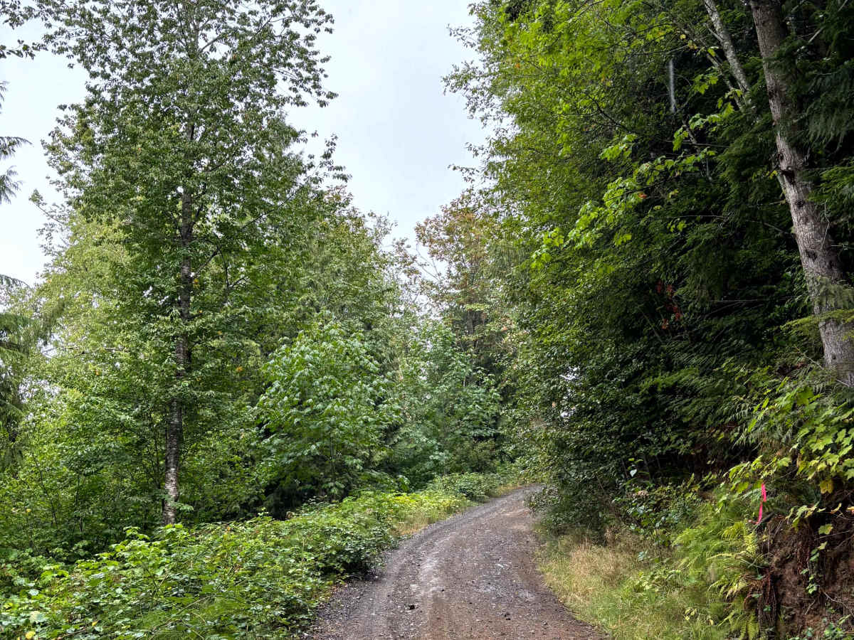
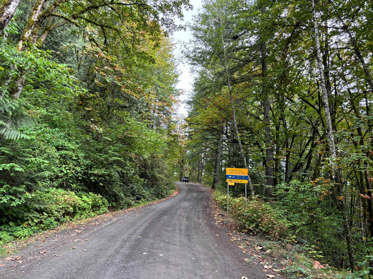
A scenic and challenging 39-kilometer backroad drive connecting Tamihi and Liumchen Forest Service Roads, offering expansive views of the Chilliwack River Valley.

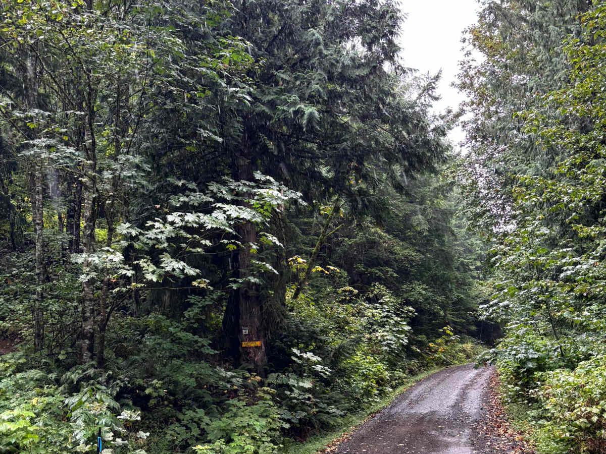
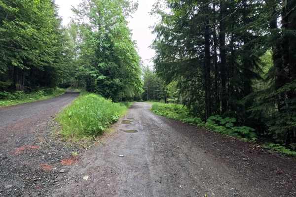
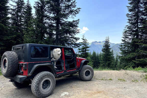
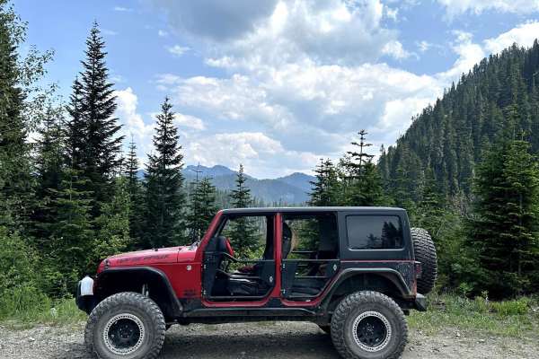
Photos of Liumchen East

Difficulty

The trail includes some short, mildly steep sections with some loose rocks. The trail has many sections of shelf road, but none are overly narrow. It is one lane wide for almost the entire trail once the climb up the mountain starts, but there are places wide enough to pass. The most difficult obstacles are the waterbars, some of which are deep and steep, but most stock 4x4s should be fine.

Technical Rating

3

Liumchen East Trail can be accessed by the following ride types:

  • Single Track
  • 50 Inch
  • 60 Inch
  • High Clearance
  • Full Width

Access Description

The route is managed as Crown land by the British Columbia Ministry of Forests. It is open to street-legal vehicles, ATVs, and dirt bikes, but high-clearance 4x4 vehicles are highly recommended. Active logging trucks have the right-of-way at all times; use pullouts and remain alert. Be aware of private property boundaries near the end of the route and turn around before entering restricted areas. Deep snow can block higher elevation sections, including Windy Knob, through winter and late spring. Cell service is unreliable, so plan for self-sufficiency.

Liumchen East Map

The onX Offroad Difference

onX Offroad combines trail photos, descriptions, difficulty ratings, width restrictions, seasonality, and more in a user-friendly interface. Available on all devices, with offline access and full compatibility with CarPlay and Android Auto. Discover what you're missing today!

Open Trail Map