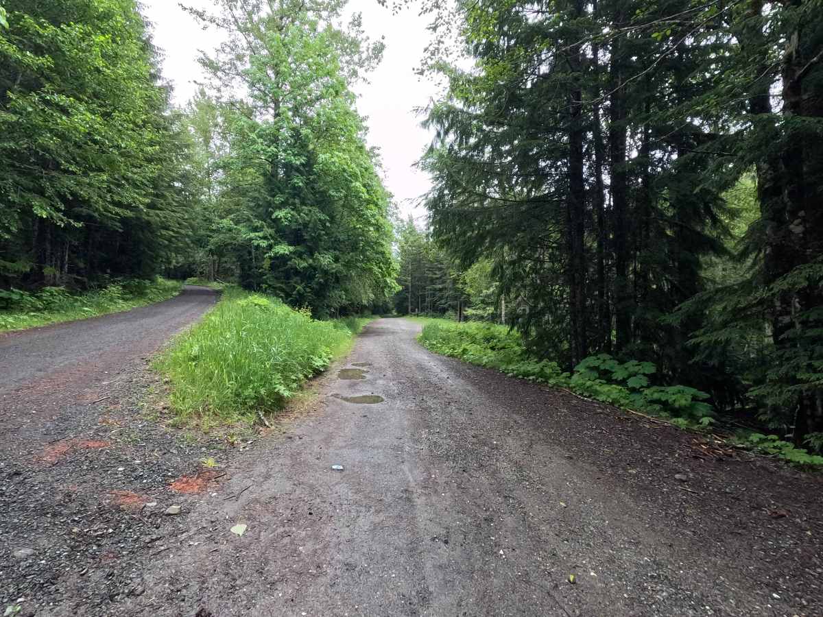
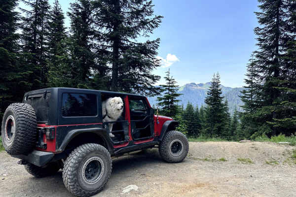
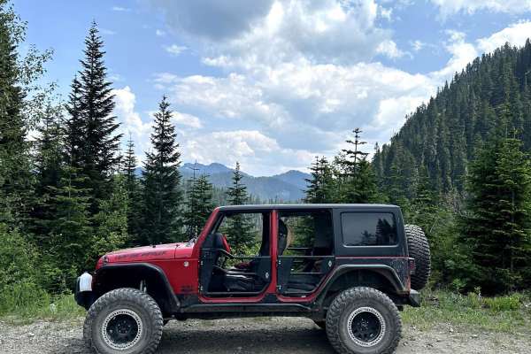
Trail Overview
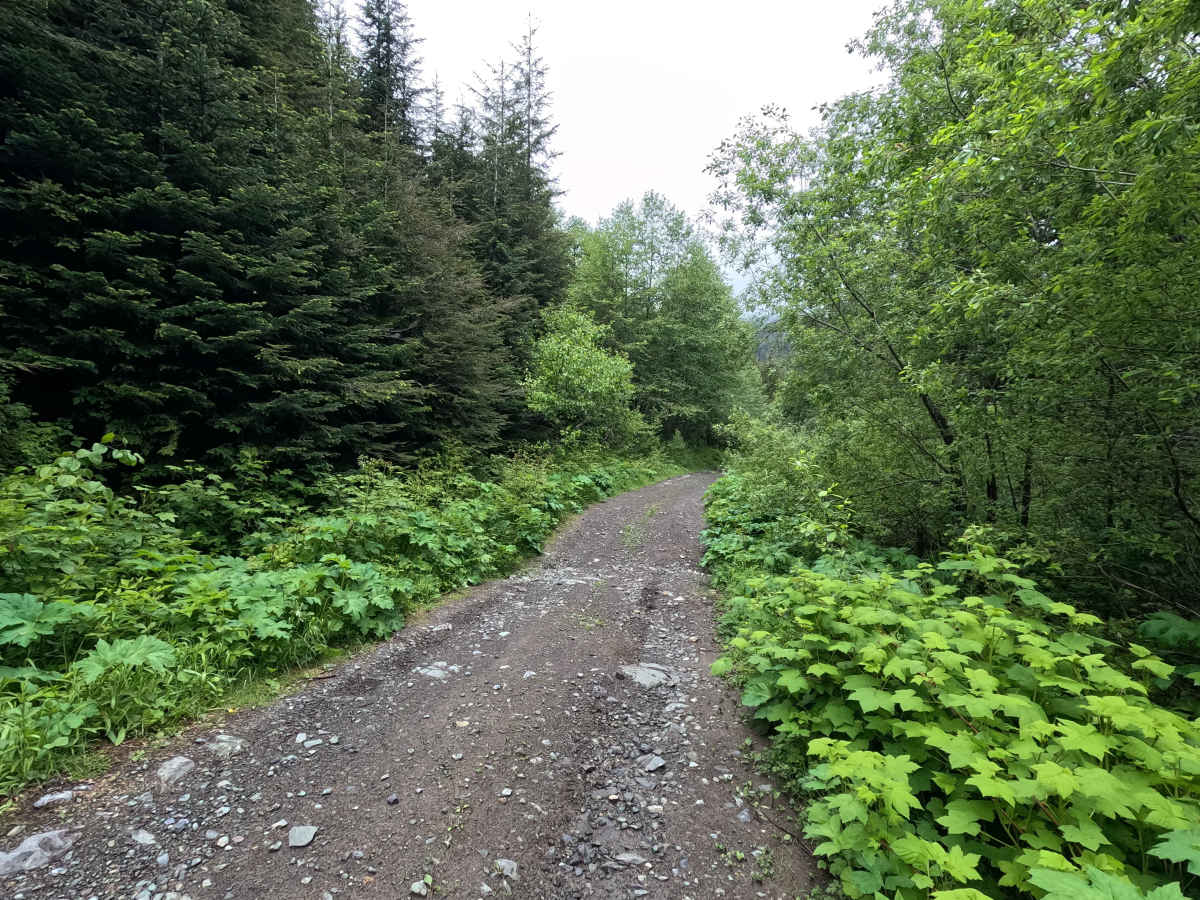
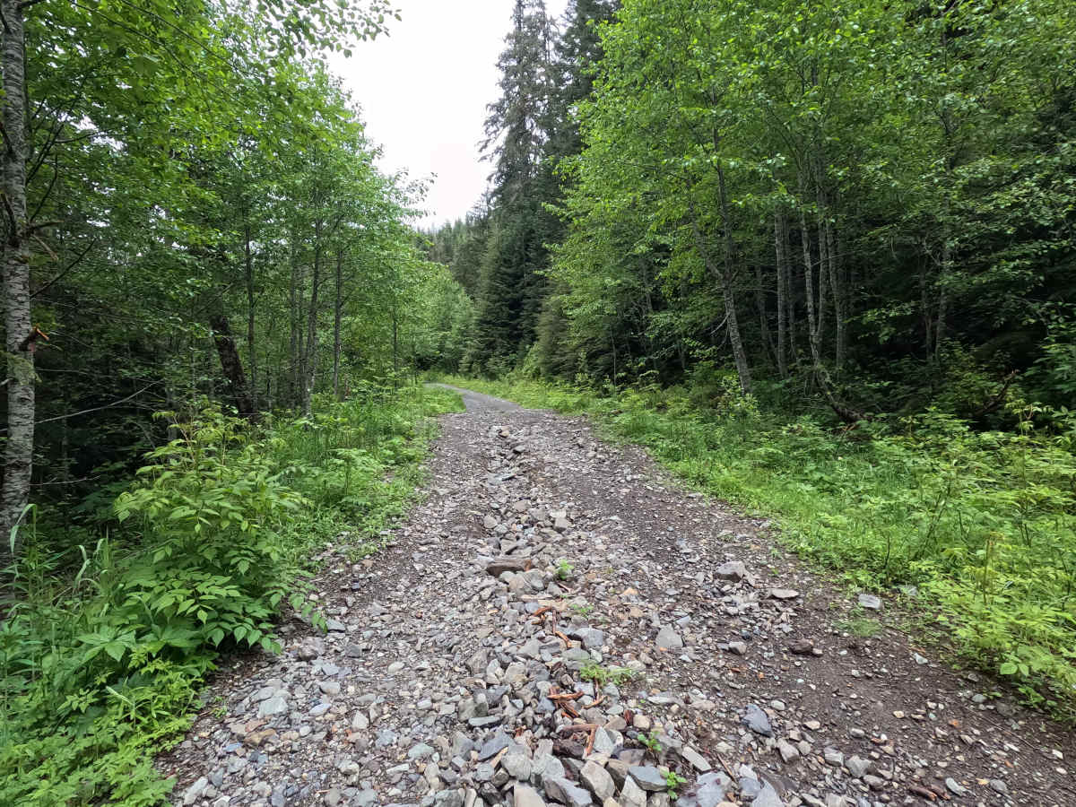
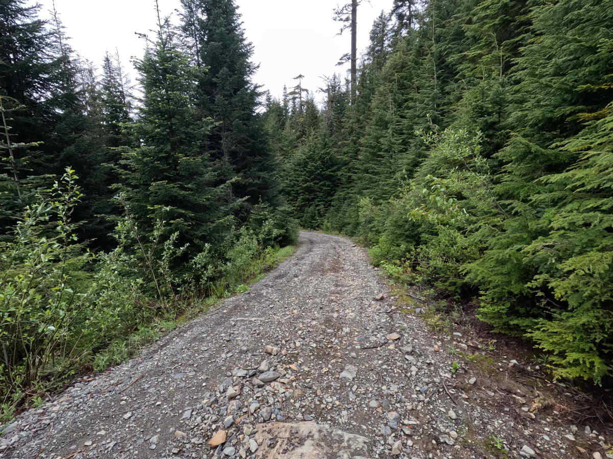
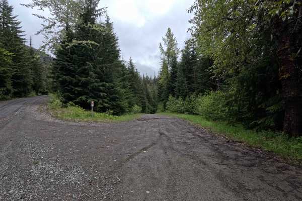
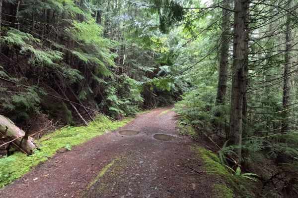
Whistler Creek is a 4.2-mile out-and-back route that follows a single-lane gravel road into a remote section of the forest. A passable washout is encountered near mile 0.3, followed by several moderate water bars along the route. As the road climbs, the surface becomes rougher, steeper, and increasingly covered with loose rock. Waterfalls can often be spotted both along the road and on the surrounding hillsides, adding to the scenery throughout the drive. The route ends at a hiking trailhead with a small turnaround area. Whistler Creek is open year-round to highway-legal vehicles.
Difficulty
Whistler Creek is moderately challenging and best suited for high-clearance 4WD vehicles. The passable washout near the beginning of the route, combined with moderate water bars, loose rock, and steeper grades farther up the trail, can make travel difficult for low-clearance vehicles. While there are no major technical obstacles, the rough road surface requires careful tire placement in some areas. Weather conditions can significantly increase difficulty, particularly where loose rock and water-damaged sections become slick. As with most trails in the area, bringing a chainsaw or equipment to clear fallen trees is recommended.