
Beginner Off-Road Trails
Near Horse Pasture, Virginia
Explore All Beginner Trails Near Horse Pasture, Virginia
Beginner Off-Road Trails Near Horse Pasture, Virginia
Discover the best beginner-friendly off-road trails near you. These easier, lower-rated trails are a great place to start — browse trail maps, check difficulty ratings, and find your next adventure.
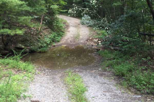
Wildlife Road - FS 224
FS 224 is an improved gravel road that is pretty well-maintained, winding up and down and around the mountain, and can be run in either direction. That being said, you should pay attention to washouts and downed trees due to storms. There are a few streams that cross the road, but they were only 6 i...
Learn more about Wildlife Road - FS 224
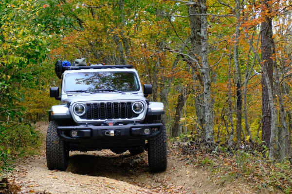
Bobblets Gap
Bobblets Gap is a natural surface two-track that starts on the south side of the Blue Ridge near Montvale, Virginia, and traverses up the mountain. At the top, it goes under the Blue Ridge Parkway and back off the north side of the mountain range, where it intersects with the Appalachian Trail and a...
Learn more about Bobblets Gap
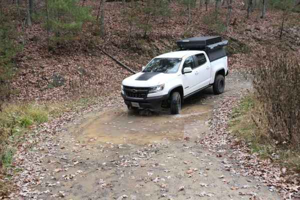
Pond Lick Road
This dirt track travels just north of Gatewood Reservoir. At just under 3 miles, it's a great quick run, or you can add to a route that includes some of the other local forest roads. There are a few ruts and mud holes, but nothing too extreme, and unless there was a lot of rain, it shouldn't be an i...
Learn more about Pond Lick Road
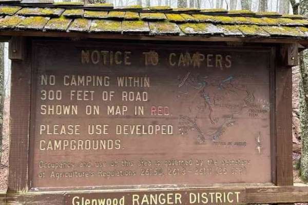
Powell's Gap
This is a gravel FS road leading to prime trout water. It's a scenic short path off the Blue Ridge Parkway. Go to the end of the road and take a left onto Jennings Creek. The trout water parallels the road for a few miles. The water is stocked and there are 2 nearby campgrounds off Jennings Creek Ro...
Learn more about Powell's Gap
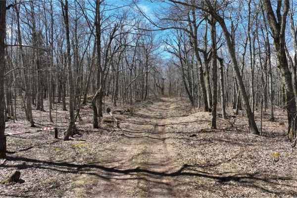
Bailey Gap to Butte Mountain
Bailey Gap and Butt Mountain are two trails that are near the Mountain Lake Lodge, which was made famous by the movie "Dirty Dancing". Both trails are beginner-friendly, with Butt Mountain being the easier of the two. Butt Mountain is mostly gravel and dirt, with very little in the way of mud or obs...
Learn more about Bailey Gap to Butte Mountain
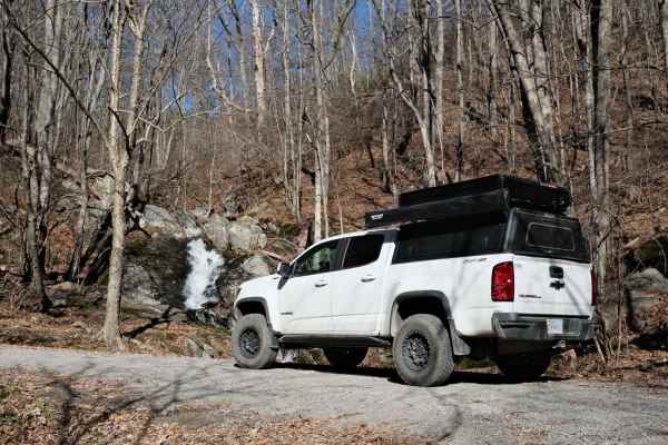
Overstreet Creek
Overstreet Creek climbs from just over 1,300 feet in elevation to 3,250 ft, where it meets the Blue Ridge Parkway. This four-mile-long route is mostly gravel, but some of the steep sections include larger rocks. The namesake creek parallels the road for most of the length, and several waterfalls are...
Learn more about Overstreet Creek
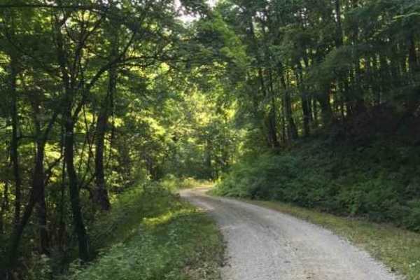
Middle Creek
This is a dead-end route leading to a junction of 4 other trails. This route has only 2 dispersed sites. This is a maintained gravel forest service road and is primarily used for horseback riding on the gated trails. The surface is smooth gravel. Cell service is adequate at the end.
Learn more about Middle Creek
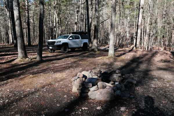
Patterson Creek
Patterson Creek Road is a great spot to find creek-side campsites. There are a half dozen sites scattered along this 7-mile route. Some are just off of the road, and a few are further off the track. You'll encounter several water crossings as well. Most are relatively short, but a couple on the nort...
Learn more about Patterson Creek
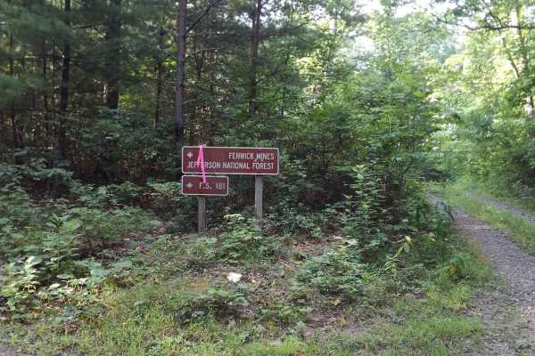
Fenwick Mines
Near the town of New Castle, VA, are the remnants of many small mining towns. This route passes by the Fenwick Mines area, which has a small recreation day-use area and hiking trails. The route runs along the top of a ridgeline with sweeping east and west views of the area. The surface is mostly nat...
Learn more about Fenwick Mines
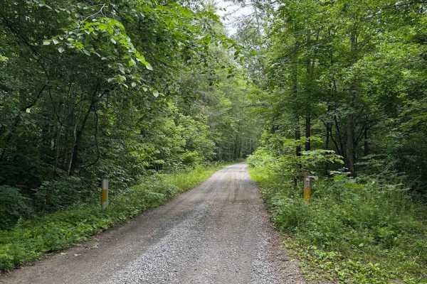
North Creek
North Creek, designated as Forest Service Road 59, begins where the pavement ends on North Creek Road. The route is open year‑round and remains an easy trail throughout, with a maintained gravel surface and low vegetation overgrowth. The most notable obstacles are potholes, all less than 6 inches de...
Learn more about North Creek
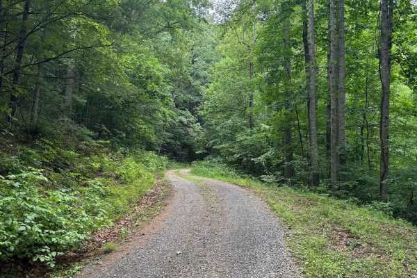
Colon Hollow
Colon Hollow, designated as Forest Service Road 782, begins directly across from the North Creek Campground. The trail starts at a historic log cabin, which serves as a notable landmark, though the structure is not open for entry. The route is easy overall, consisting of a well‑maintained gravel sur...
Learn more about Colon Hollow
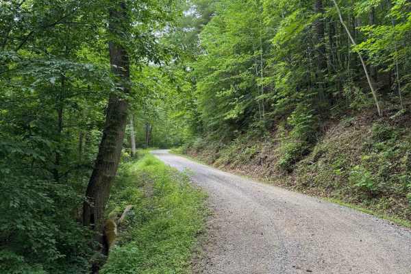
Thomas Mountain
Thomas Mountain, designated as Forest Service Road 768, is a maintained gravel road open year‑round. The route climbs steadily up the mountain, connecting North Creek at the lower end to Parker Gap at the higher end. Rutting is minimal, vegetation overgrowth is low, and the corridor remains consiste...
Learn more about Thomas Mountain
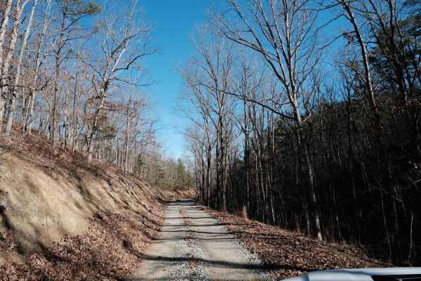
Oi Road
Oi Road offers some nice views as it climbs up the ridgeline. Unlike Patterson Creek Road to the south, there are hardly any spots to get off the road, and any camping would be tight. Most of Oi Road is a gravel two-track with a few spots where you might have to back up to let another vehicle pass. ...
Learn more about Oi Road
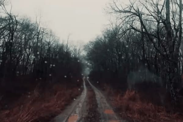
Potts Mountain East
Potts Mountain East is a 7-mile trail that runs through the Jefferson National Forest near Potts Mountain Jeep Trail. The trail differs from typical forest roads in the area, in that it follows a ridgeline and lacks the switchbacks that are common for Virginia forest roads.
Potts East can be travele...
Learn more about Potts Mountain East
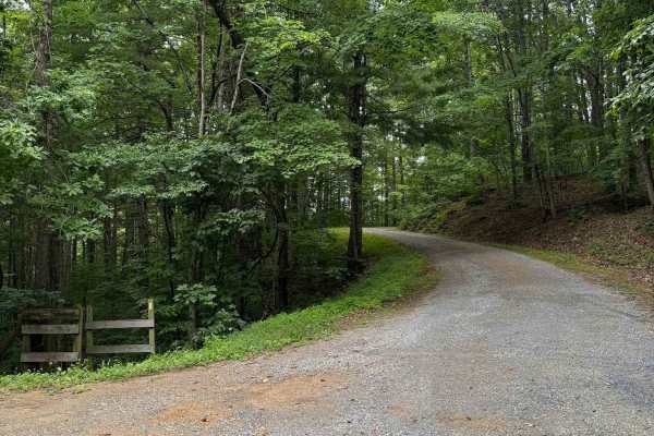
Wilson Mountain
Wilson Mountain (FS 907) and Skillern Mountain (FS 316) form a continuous, well‑maintained gravel route that transitions seamlessly at the county line. The road surface is consistently smooth with only minor rutting, scattered small rocks, and light vegetation overgrowth. Overall difficulty remains ...
Learn more about Wilson Mountain
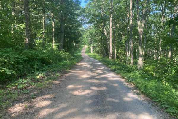
Iron Mountain
This road is fairly easy and should not require 4WD unless it is very wet. Wildlife is abundant including deer, grouse, and turkey. The side route to Comer's Rock provides a scenic overlook after a short hike. Much of the trail would have good views in the winter, but most of the views are blocked b...
Learn more about Iron Mountain
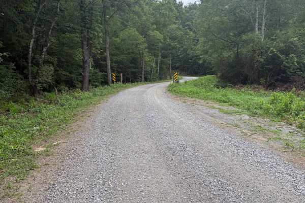
Dry Run
This mostly gravel road is fairly easy and does not require 4WD or significant ground clearance. This road appears to be used primarily for accessing horse camp sites, which are numerous. The largest horse camping area is the Hussy Mountain Horse Camp, which has a picnic area and restrooms. The road...
Learn more about Dry Run
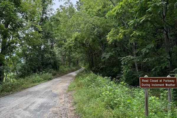
Goff Mountain Road
Goff Mountain Road, designated as FS 951 and sometimes referred to as Battery Creek, is an easy, well‑maintained gravel road suitable for most passenger vehicles. A few larger embedded rocks appear along the route, but none present significant difficulty for typical ground‑clearance vehicles.
The t...
Learn more about Goff Mountain Road
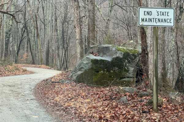
Hunting Creek
This out-and-back starts in the valley, and after following along Hunting Creek, it tops out at a gate just past the aptly named Camping Gap. There are a couple of small campsites near the bottom, and plenty of space is available at the grassy clearing near Camping Gap. The majority of the road is g...
Learn more about Hunting Creek
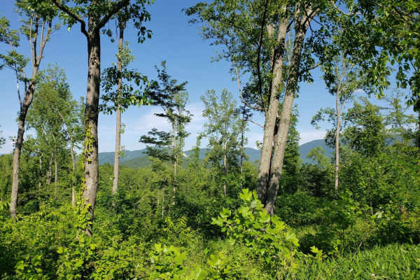
Parkers Gap
Parkers Gap trail is a gravel forest service road, running from Cave Mountain Lake to the Blue Ridge Parkway. The surface is gravel and pot hole strewn. Cell service is spotty throughout the area. Numerous side trails lead to camping spots and hiking trailheads. The scenery is beautiful during the f...
Learn more about Parkers Gap
Beginner ATV trails near Horse Pasture, Virginia
Explore ATV-friendly trails near you. These trails are accessible for vehicles up to 50 inches wide, perfect for ATVs and smaller off-road machines.
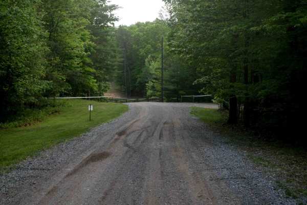
Gravel Road
The main road through Kairos starts on Shumate Falls Road as a paved road with a really steep grade. It's a bit tight and windy in the beginning, but still manageable for RVs, you just might want to use low range if pulling a large RV during the steep grade. It turns into gravel after you start pass...
Learn more about Gravel Road
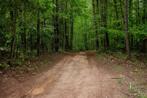
Trail 1
This wide, smooth 1-mile loop begins at the middle entrance and travels clockwise through the Kairos trail system. Expect shallow ruts, a few muddy puddles, and a mud hole with an optional bypass. The trail surface features minor leaf decay and small loose rocks, but remains mostly clear and easy to...
Learn more about Trail 1
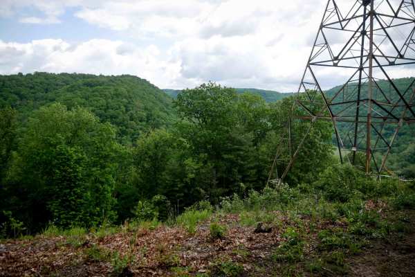
Trail 3
This is a short spur off Trail 1. This easy trail stretches less than a quarter mile and leads to a scenic overlook beneath the power lines. The wide path is lightly rutted with scattered sticks, loose rocks, and some leaf decay, but remains accessible for most riders, with hardly any technical elem...
Learn more about Trail 3
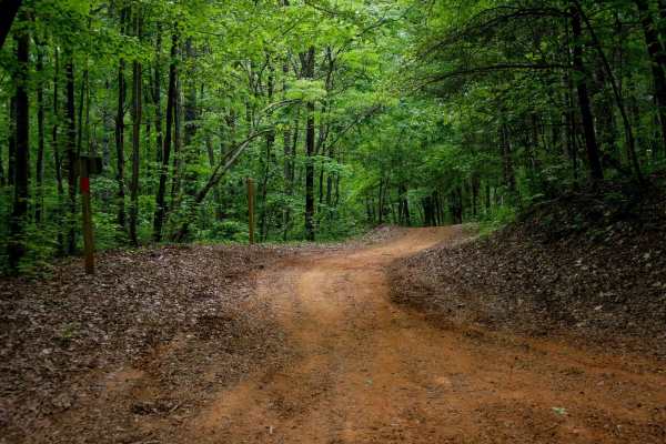
Rattlesnake
Rattlesnake Trail is a 0.5-mile ATV trail that provides smooth, easy access from the large Rattlesnake Trailhead parking lot off State Highway 130 to the South Pedlar loop. It features large water bars and fast, flowy riding with rocks pushed to the sides. The trail winds through a scenic forest dom...
Learn more about Rattlesnake
Beginner UTV/side-by-side trails near Horse Pasture, Virginia
Find UTV and side-by-side trails near you. These trails accommodate vehicles up to 60 inches wide, ideal for UTVs, side-by-sides, and wider off-road rigs.
Gravel Road
The main road through Kairos starts on Shumate Falls Road as a paved road with a really steep grade. It's a bit tight and windy in the beginning, but still manageable for RVs, you just might want to use low range if pulling a large RV during the steep grade. It turns into gravel after you start pass...
Learn more about Gravel Road
Trail 1
This wide, smooth 1-mile loop begins at the middle entrance and travels clockwise through the Kairos trail system. Expect shallow ruts, a few muddy puddles, and a mud hole with an optional bypass. The trail surface features minor leaf decay and small loose rocks, but remains mostly clear and easy to...
Learn more about Trail 1
Trail 3
This is a short spur off Trail 1. This easy trail stretches less than a quarter mile and leads to a scenic overlook beneath the power lines. The wide path is lightly rutted with scattered sticks, loose rocks, and some leaf decay, but remains accessible for most riders, with hardly any technical elem...
Learn more about Trail 3
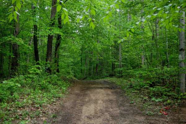
Trail 2
This is a very short 160-yard spur connecting Trail 1 back to the main road, Trail 2 serves as a directional bailout route (north to south only). The trail is smooth and easy, with virtually no ruts or rocks--ideal for a quick, non-technical exit. Overall, it's great for all skill levels.
Learn more about Trail 2
The onX Offroad Difference
onX Offroad combines trail photos, descriptions, difficulty ratings, width restrictions, seasonality, and more in a user-friendly interface. Available on all devices, with offline access and full compatibility with CarPlay and Android Auto. Discover what you're missing today!
Open Trail Map