
Beginner Off-Road Trails
Near Cana, Virginia
Explore All Beginner Trails Near Cana, Virginia
Beginner Off-Road Trails Near Cana, Virginia
Discover the best beginner-friendly off-road trails near you. These easier, lower-rated trails are a great place to start — browse trail maps, check difficulty ratings, and find your next adventure.
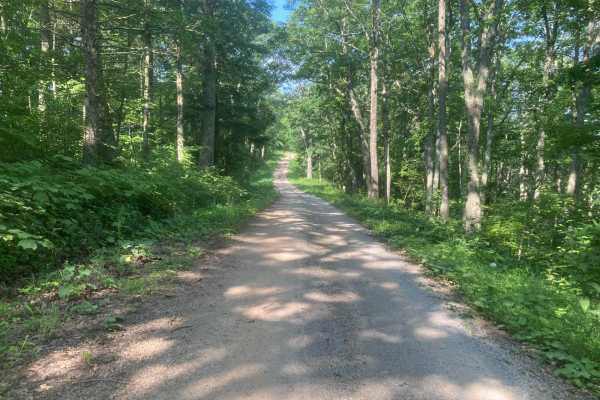
Iron Mountain
This road is fairly easy and should not require 4WD unless it is very wet. Wildlife is abundant including deer, grouse, and turkey. The side route to Comer's Rock provides a scenic overlook after a short hike. Much of the trail would have good views in the winter, but most of the views are blocked b...
Learn more about Iron Mountain
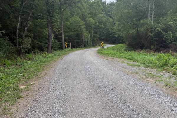
Dry Run
This mostly gravel road is fairly easy and does not require 4WD or significant ground clearance. This road appears to be used primarily for accessing horse camp sites, which are numerous. The largest horse camping area is the Hussy Mountain Horse Camp, which has a picnic area and restrooms. The road...
Learn more about Dry Run
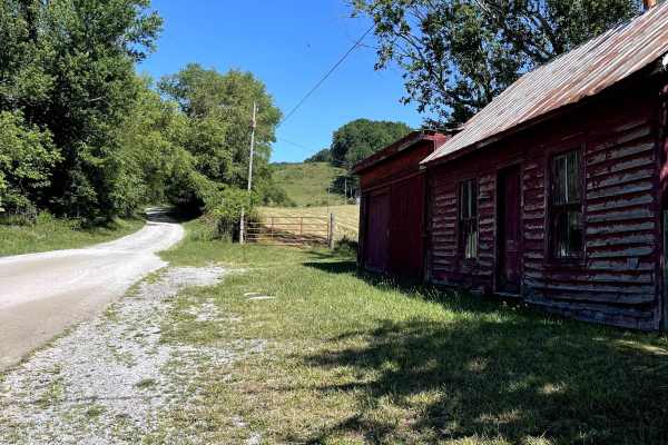
Blue Springs Road
Blue Springs Road is a scenic, hard-packed dirt and gravel forest road that provides access to both Hale Lake and Comers Rock recreation areas. The route is easy to navigate under normal conditions and is suitable for all high-clearance vehicles, as well as most smaller AWD vehicles. A large dispers...
Learn more about Blue Springs Road
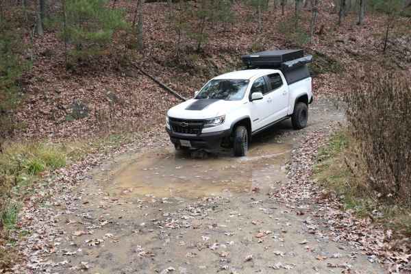
Pond Lick Road
This dirt track travels just north of Gatewood Reservoir. At just under 3 miles, it's a great quick run, or you can add to a route that includes some of the other local forest roads. There are a few ruts and mud holes, but nothing too extreme, and unless there was a lot of rain, it shouldn't be an i...
Learn more about Pond Lick Road
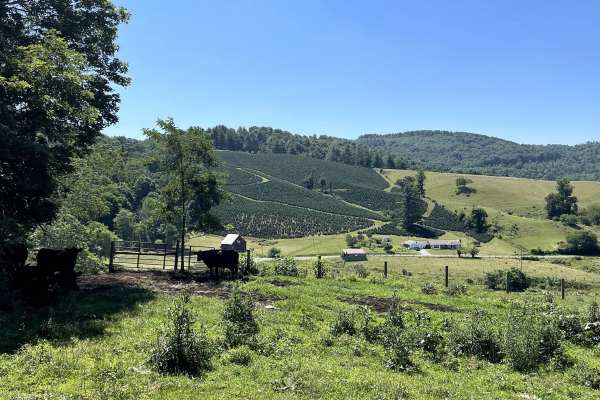
Robert's Cove
Robert's Cove Road can be accessed from either Comers Rock Road or Honey Grove Road and follows a well-maintained gravel route through the scenic mountains of southwest Virginia. The trail is suitable for all high-clearance vehicles, as well as most smaller AWD vehicles under normal conditions. The ...
Learn more about Robert's Cove
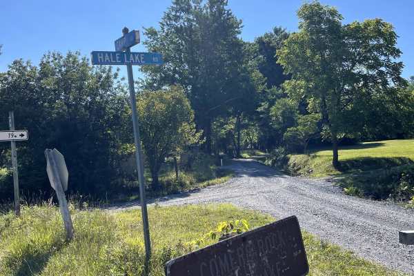
Hale Lake Road
Hale Lake Road (FS 798) can be accessed from either Camp Road or Blue Springs Road and is a well-maintained forest road that provides a scenic, easy drive through the George Washington and Jefferson National Forest. The route offers convenient access to Blue Springs Road, where several National Fore...
Learn more about Hale Lake Road
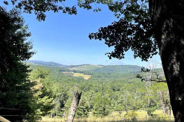
Cornflower Road
Cornflower Road (State Route 846) is a scenic route that begins as a gravel road before transitioning into dirt and eventually becoming a rougher dirt trail as it approaches the connection with Blue Springs Road. This route offers a unique change in terrain while providing access to the larger Blue ...
Learn more about Cornflower Road
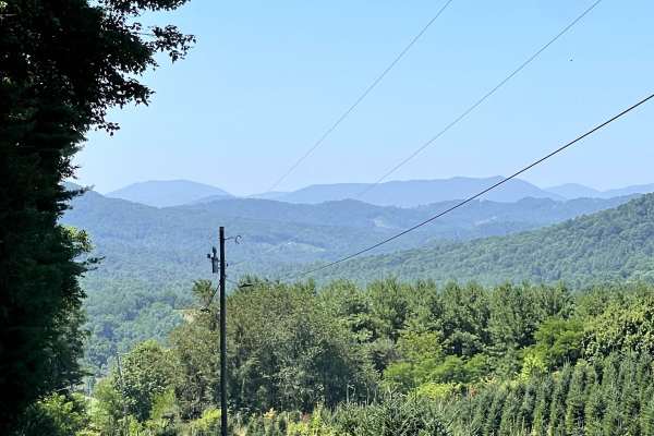
Panther Creek
Panther Creek Road is a short, well-maintained hard-packed gravel road that offers a relaxing drive through some of the area's most picturesque rural landscapes. While the route is not long, it rewards travelers with beautiful views of rolling mountain meadows and locally-grown Christmas tree farms,...
Learn more about Panther Creek
Overbay FS 644
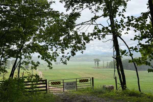
Overbay FS 644 is a Forest Service road running along the northern side of Glade Mountain. Winding through dense forest, the trail offers occasional views of the valley below, hiking access, and OHV riding. Although the route is not overly difficult, recently renovated sections still provide a touch...
Learn more about Overbay FS 644
Camp - FS 16
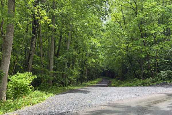
Camp FS 16 is a Forest Service road located within the Jefferson National Forest that runs between Snake Den Mountain and Leading Ridge, providing beautiful views of the surrounding forest and mountains. Portions of the trail feature river views and access by running along Crigger, Cressy, and Middl...
Learn more about Camp - FS 16
Quarter Branch Road
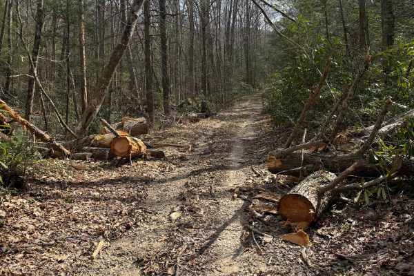
Quarter Branch Road (FS 49352) is a mixed-use dirt and gravel trail in Jefferson National Forest, accessed from Forest Road 601 to the east. The trail is open to motorcycles from October 1 through April 1, so plan accordingly, as the trail transitions to horseback only beyond the motorized boundary....
Learn more about Quarter Branch Road
FS 857
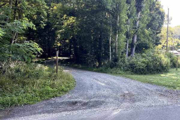
FS 857 begins off State Route 601 beside the Konnarock Appalachian Trail Crew headquarters and follows a well-maintained, hard-packed gravel forest road. The drive is straightforward and is suitable for all high-clearance vehicles as well as most smaller AWD vehicles under normal conditions, making ...
Learn more about FS 857
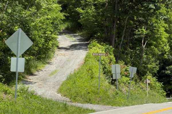
Walker Mountain - FS 206
Walker Mountain - FS 206 is a Forest Service road running along the ridgeline of Walker Mountain within the Jefferson National Forest. The first half of the route is a relatively easy, maintained dirt road with occasional potholes and some encroaching brush. Around the halfway point, the trail passe...
Learn more about Walker Mountain - FS 206
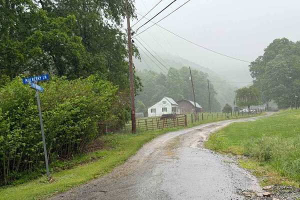
Glade Mtn FS 86
Glade Mtn FS 86 is a Forest Service trail located within the Jefferson National Forest. While a few portions of the route have recently been graded and finished with fresh gravel, other sections are less maintained, featuring scattered ruts and small rocks. The trail runs along the southern end of G...
Learn more about Glade Mtn FS 86
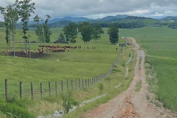
Glade Mountain
Glade Mountain Road transitions from pavement to dirt at the intersection of Glade Mountain Road and Mulberry Lane. This scenic route provides a beautiful drive through additional sections of the Mount Rogers National Recreation Area.
Several ponds can be found along the route; however, only one is...
Learn more about Glade Mountain
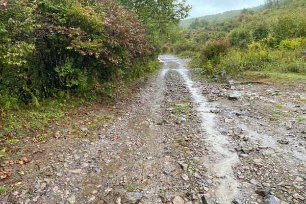
Pine Mountain
Locally known as The Scales, Pine Mountain Road is a gravel and dirt road that connects to the Scales Group Camp. The camping area is on the border of Grayson Highlands State Park and the Mt. Rogers Recreation Area. The route includes a few steep switchbacks, some rock areas, and a few muddy pothole...
Learn more about Pine Mountain
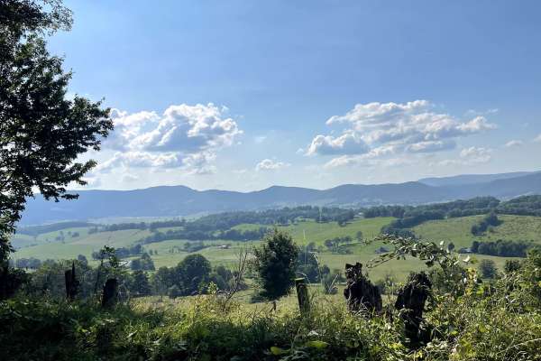
State Route 623
State Route 623 begins or ends in the Sharon Springs community and offers one of the most scenic drives in the area. This hard-packed gravel and dirt route is easy to traverse and provides breathtaking views throughout the journey. The trail winds through valleys, open meadows, and rural landscapes ...
Learn more about State Route 623
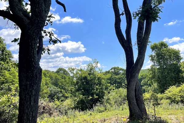
Homestead Road
Homestead Road is a bidirectional trail that can be accessed from either Highway 16 or Fairwood Road at the Fox Creek Horse Camp. The route consists primarily of hard-packed gravel and dirt, making it suitable for nearly any passenger vehicle in normal weather conditions. Along the trail, visitors w...
Learn more about Homestead Road
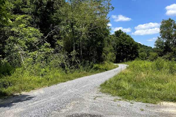
Bear Creek
Bear Creek Road is a hard-packed gravel road that winds through a scenic mountain setting before ending at a large gravel cul-de-sac that provides access to the Bear Creek hiking trail. Along the route, travelers will enjoy views of open meadows and peaceful forest surroundings, making this a relaxi...
Learn more about Bear Creek
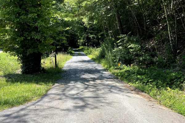
FS 243
FS 243 is a hard-packed dirt forest road that provides access to several popular hiking opportunities within the National Forest. This out-and-back trail offers a peaceful drive through the woods and serves as a gateway to multiple trailheads, including Quebec Tower, Quebec Spur B1, Quebec Spur C, a...
Learn more about FS 243
Beginner ATV trails near Cana, Virginia
Explore ATV-friendly trails near you. These trails are accessible for vehicles up to 50 inches wide, perfect for ATVs and smaller off-road machines.
Quarter Branch Road
Quarter Branch Road (FS 49352) is a mixed-use dirt and gravel trail in Jefferson National Forest, accessed from Forest Road 601 to the east. The trail is open to motorcycles from October 1 through April 1, so plan accordingly, as the trail transitions to horseback only beyond the motorized boundary....
Learn more about Quarter Branch Road
Shortcut
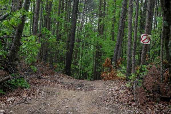
This shortcut provides a quick and efficient connection between the intermediate 1C OHV trail and the easy 1C OHV trail, also frequently used by dirt bikers on the 9C EXT single track. The trail is wide, with waterbars throughout the route, and features a steep ascent that gains 300 feet in just a t...
Learn more about Shortcut
2C
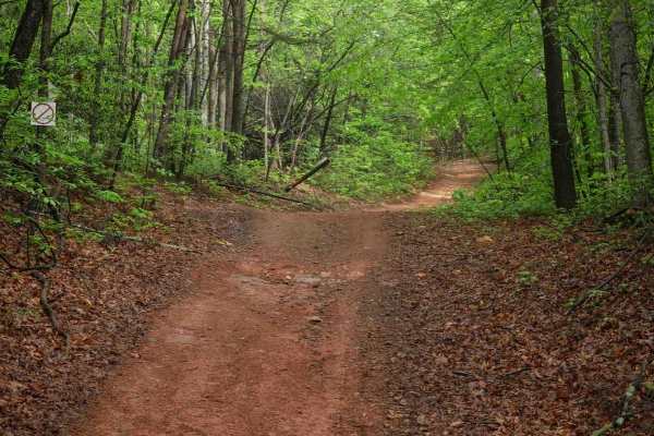
Trail 2C at Brushy Mountain Motorsports Park is a 2.8-mile, easy SxS loop beginning and ending at the main staging area. Riders experience a gradual ascent for the first half, followed by a smooth descent, with one-way travel in a counterclockwise direction. The wide trail surface features mostly sm...
Learn more about 2C
1C
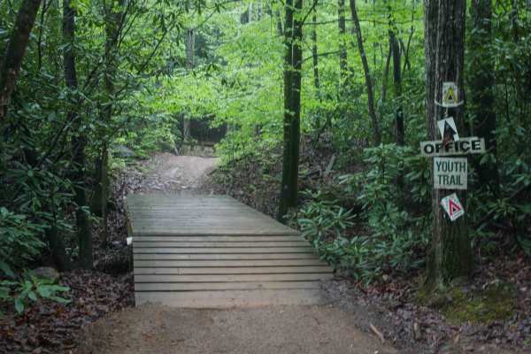
This 1.4-mile off-road trail at Brushy Mountain Motorsports Park near Taylorsville, North Carolina, offers an easy, scenic ride for SxS vehicles, ATVs, and dirt bikes. Starting and ending at the main staging area, the loop features a gradual climb and descent under the pleasant cover of leafy ash an...
Learn more about 1C
Beginner UTV/side-by-side trails near Cana, Virginia
Find UTV and side-by-side trails near you. These trails accommodate vehicles up to 60 inches wide, ideal for UTVs, side-by-sides, and wider off-road rigs.
Shortcut
This shortcut provides a quick and efficient connection between the intermediate 1C OHV trail and the easy 1C OHV trail, also frequently used by dirt bikers on the 9C EXT single track. The trail is wide, with waterbars throughout the route, and features a steep ascent that gains 300 feet in just a t...
Learn more about Shortcut
2C
Trail 2C at Brushy Mountain Motorsports Park is a 2.8-mile, easy SxS loop beginning and ending at the main staging area. Riders experience a gradual ascent for the first half, followed by a smooth descent, with one-way travel in a counterclockwise direction. The wide trail surface features mostly sm...
Learn more about 2C
1C
This 1.4-mile off-road trail at Brushy Mountain Motorsports Park near Taylorsville, North Carolina, offers an easy, scenic ride for SxS vehicles, ATVs, and dirt bikes. Starting and ending at the main staging area, the loop features a gradual climb and descent under the pleasant cover of leafy ash an...
Learn more about 1C
Youth Trail
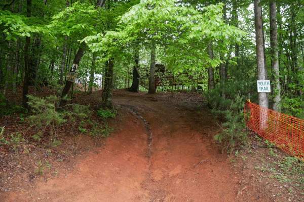
The Youth Trail at Brushy Mountain Motorsports Park is a 2.1-mile loop starting and ending at the main staging area, featuring a gradual climb followed by a descent. The trail is wide, well-marked at intersections and shortcut points, and offers a very curvy, twisty ride. Riders will encounter small...
Learn more about Youth Trail
The onX Offroad Difference
onX Offroad combines trail photos, descriptions, difficulty ratings, width restrictions, seasonality, and more in a user-friendly interface. Available on all devices, with offline access and full compatibility with CarPlay and Android Auto. Discover what you're missing today!
Open Trail Map