Pine Mountain

Total Miles4
Technical Rating
2Easy
Best TimeFall
Trail TypeFull-Width Road
Accessible By
Open Trail Map

Trail Overview

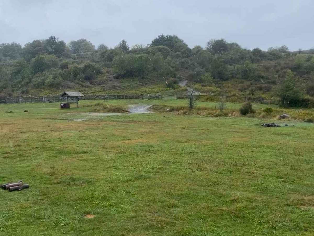
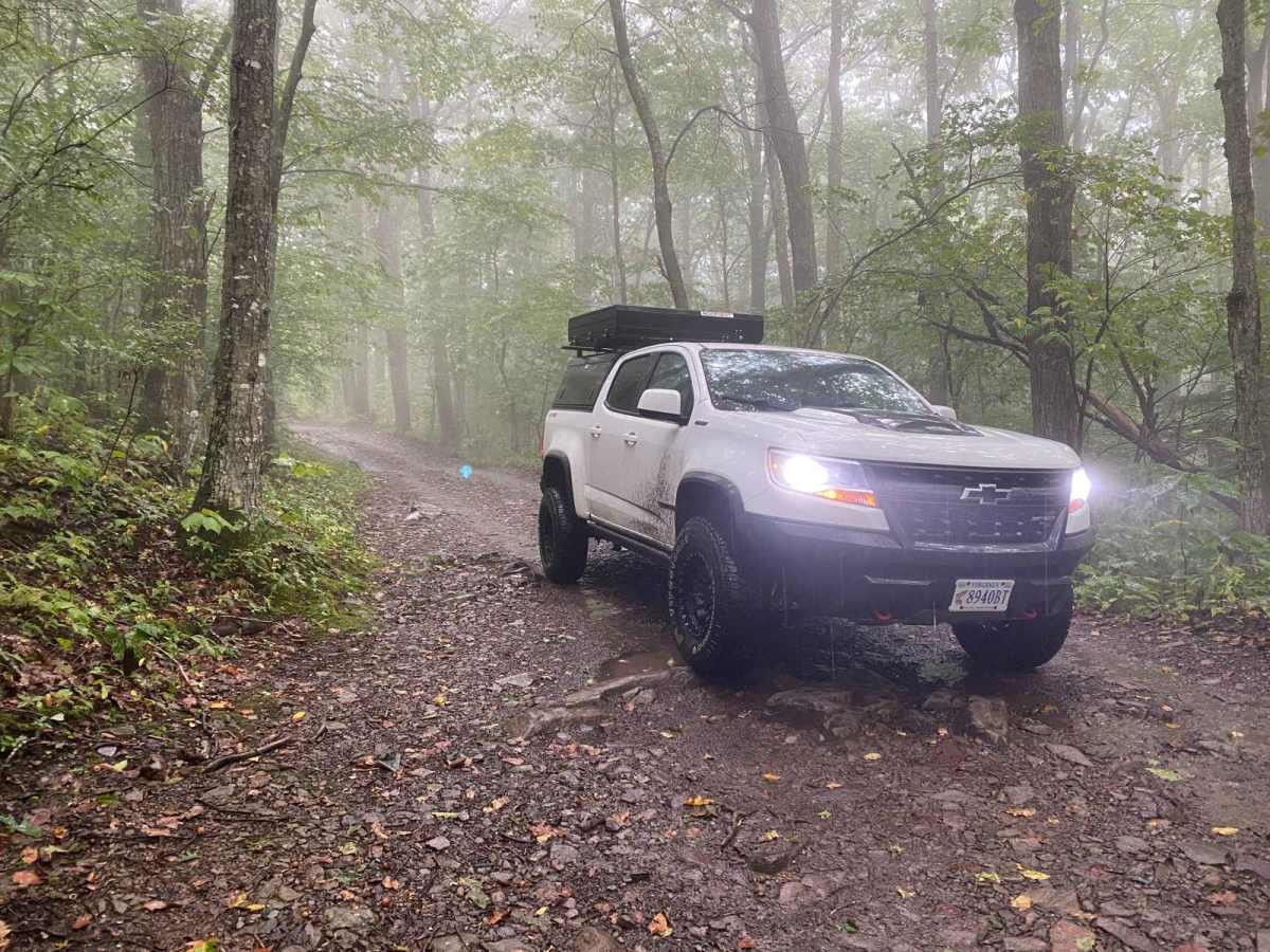
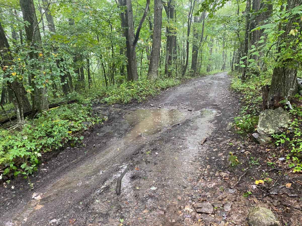
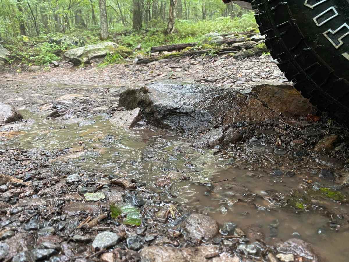
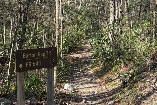
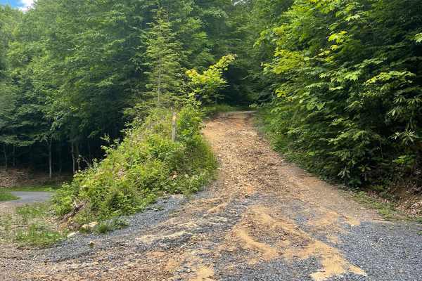
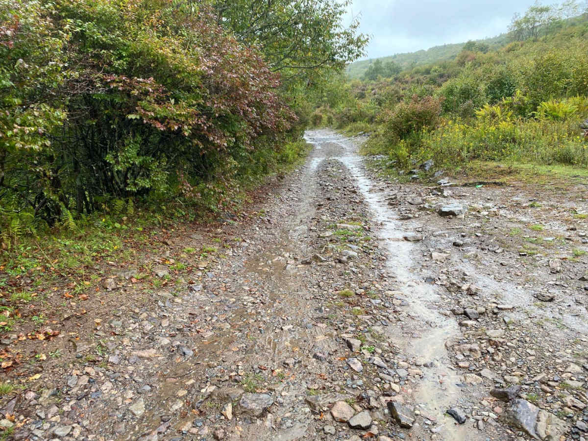
Locally known as The Scales, Pine Mountain Road is a gravel and dirt road that connects to the Scales Group Camp. The camping area is on the border of Grayson Highlands State Park and the Mt. Rogers Recreation Area. The route includes a few steep switchbacks, some rock areas, and a few muddy potholes, but nothing a stock vehicle with decent clearance can't handle. The group camp at the top can be rather popular on the weekends, but it's large enough you can usually find a spot to park your rig. On the way up, there is one trailside camping spot (pictured), but it would be tight getting a vehicle off the trail there. For the majority of the route, it's one vehicle wide, but a few spots provide opportunities to pass. Cell service is spotty or nonexistent along the route.

Photos of Pine Mountain

Difficulty

As long as you navigate around a few of the larger rocks, a stock vehicle will be fine. A couple of the switchbacks are steep and sharp turns, so at a minimum AWD would be nice.

Technical Rating

2

Status Reports

Add Status Report
Daniel Halsey
Jul 23, 2026
Open
Muddy/Wet
Matt M
Jul 09, 2026
Open
Normal
The trail up to the Scales is about the same as it's been in previous years. I recommend a 4WD vehicle on good all terrain tires, but you see people up at the top in 2WD minivans and small crossovers. I air down for the trail, not for traction but to make for a less bouncy ride.
Trey brewer
Jun 22, 2026
2023 Nissan Frontier Pro-4X
Open
Rough/Deteriorated
This trail is rough and rocky throughout, making airing down highly recommended for a more comfortable ride. While the trail is not particularly technical, the uneven terrain and exposed rocks favor high-clearance vehicles. Most high-clearance 4WD vehicles should have no trouble reaching the summit and may not need to engage 4WD in dry conditions. Low-clearance crossovers and smaller AWD vehicles will likely struggle with ground clearance and rough sections. The summit features a beautiful camping area shared with Appalachian Trail hikers. Amenities include a vault toilet, multiple rock fire rings, and reliable Verizon cell service. The area offers excellent views and makes a great destination for camping or a scenic day trip.
Brandon Whelan
Jun 21, 2026
2024 INEOS Grenadier
Open
NormalMuddy/Wet
Trail is not technical, but it is very rough and bouncy, making for very slow travel. There were some mud spots, but all had very solid bottoms (could stop and re-start without any spinning). Our friends followed us up in a Toyota Highlander. It was doable for them, but line selection made it very slow (whereas in a 4x4 you could cruise over the rocks not caring about your line). Hikes from The Scales make it worth taking the road for a day trip and some lunch.
Jesse Stutts
May 25, 2026
Open
Slightly wet but no deep mud.
Michael Lilly
Mar 29, 2026
2024 Chevrolet Colorado
Open
Muddy/Wet
A bit rocky. Air down for comfort but 4x4 not needed. Any decent clearance 4x4 can handle this one and beautiful views throughout. Worth the drive.
Mark Henry
Mar 01, 2026
2025 Jeep Gladiator
Open
Muddy/WetRough/Deteriorated
Rocky and Fun. No 4 wheel drive needed.
Michael Byrd
Dec 17, 2025
2020 Jeep Wrangler
Open
Snow/Ice
Easy trail even in the snow
Stephen V
Nov 05, 2025
Open
Normal
Dave Helton
Nov 01, 2025
Open
Muddy/Wet
Nova Check
Sep 14, 2025
2023 Ford Bronco
Open
Muddy/Wet
Starts off a little narrow but opens up after a couple hundred feet. Handful of turn around points and rest areas on the way up. Trail surface is almost entirely rocks the size of footballs. Couple of small creek crossings. (2 inches deep tops)
Ben Mitchell
Jul 17, 2025
Open
It was raining while we were there. Saw 2 different groups of people riding horses. There are pit toilets at the top of the road and hiking/horse trails throughout. One spring next to the road. It is a bumpy road with puddles but overall I enjoyed the road for a quick trip. I wasn’t expecting to have to come back down the way we came in but that was probably me not reading about the road properly.
Patrick Hettle
Jun 04, 2025
2022 Land Rover Defender
Open
Rough/DeterioratedNormal
Trail is very rocky with lots of little softball size boulders. Slow going or its bouncy and rough. Didn't see any horses but there were a few campers and AT hikers once we got to the top.
Ben Giles
May 09, 2025
2018 Toyota Tacoma
Open
Normal
Daniel Hobbs
Apr 13, 2025
Open
Muddy/Wet
We didn’t see any horses today.

Pine Mountain Trail can be accessed by the following ride types:

  • Full Width

Pine Mountain Map

The onX Offroad Difference

onX Offroad combines trail photos, descriptions, difficulty ratings, width restrictions, seasonality, and more in a user-friendly interface. Available on all devices, with offline access and full compatibility with CarPlay and Android Auto. Discover what you're missing today!

Open Trail Map