Trail Overview
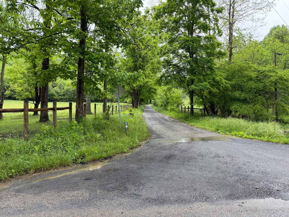
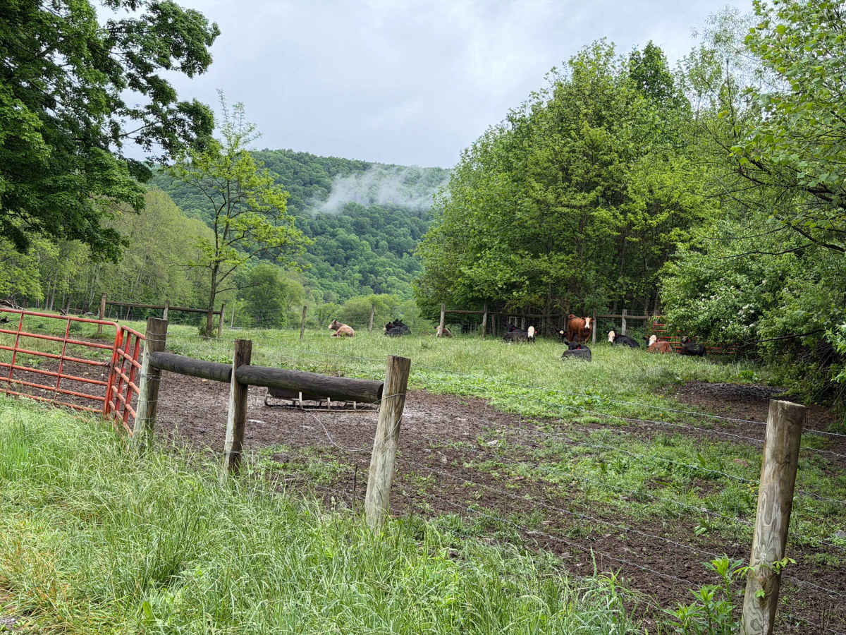
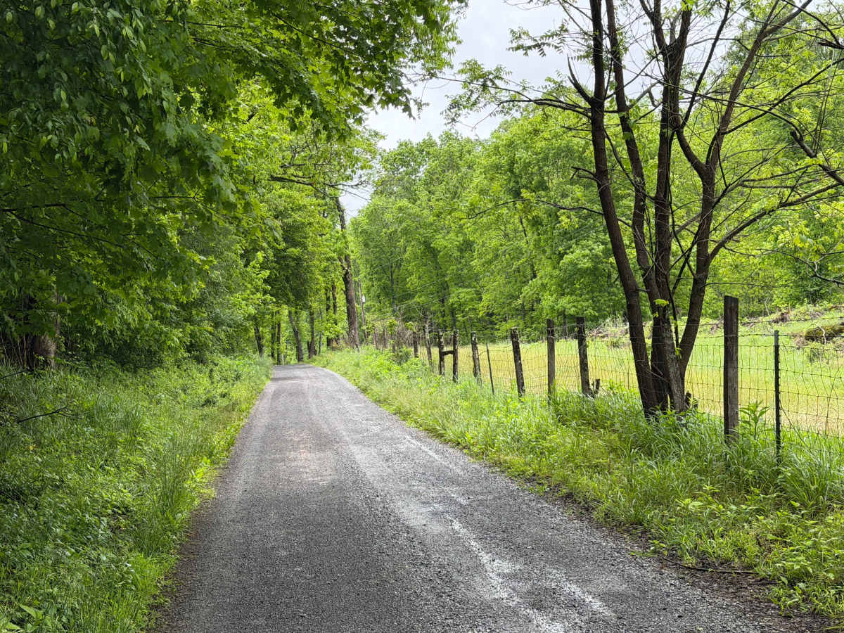
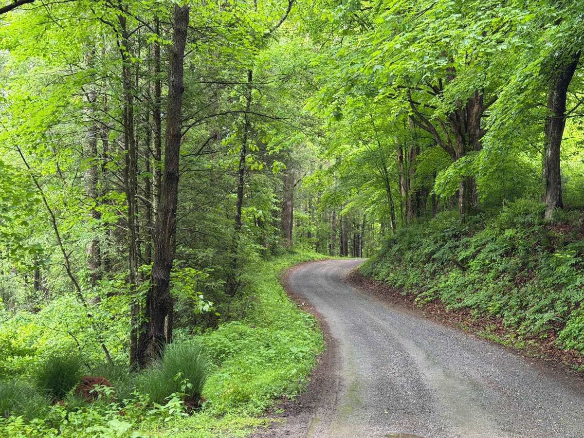
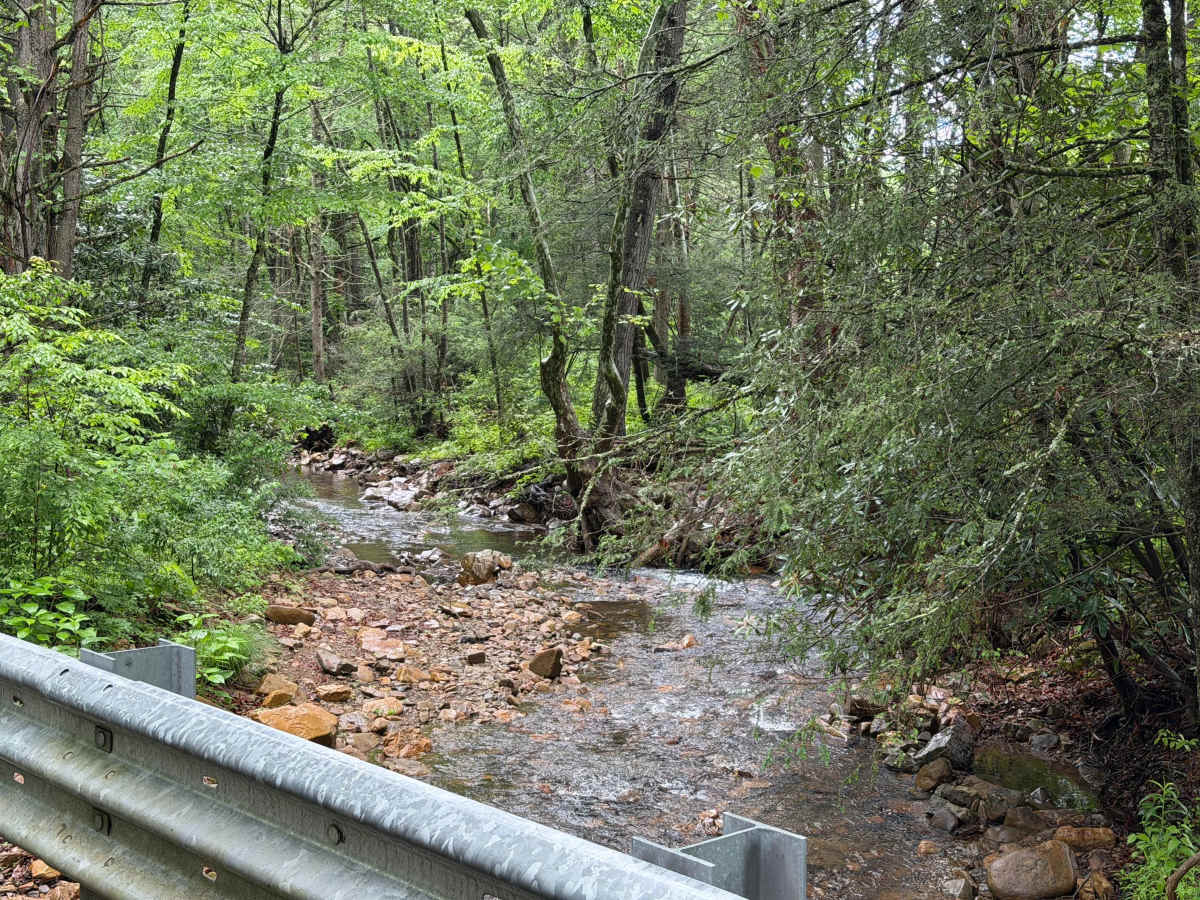
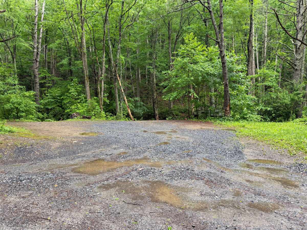
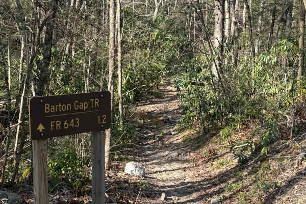
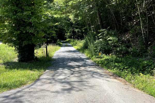
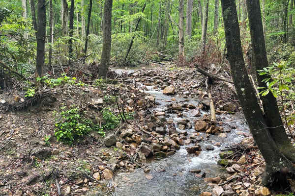
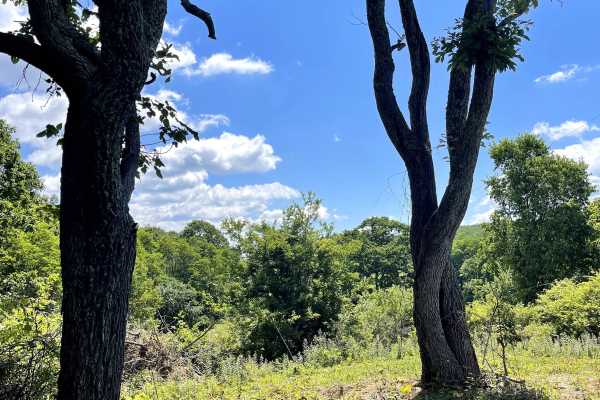
Comers Creek Road - FS 650 is a Forest Service road that passes several notable landmarks, including Hurricane Campground, the Appalachian Trail, and Comers Creek. The trail is predominantly a well-graded gravel road, with a short paved section directly in front of Hurricane Campground. Along the route, drivers will encounter a few intersections, including Barton Gap FS 643 and Hurricane FS 84, which are both major Forest Service roads providing further access into the Jefferson National Forest. The northern portion of the route borders private property, running alongside local farms where cattle can often be seen. The route is a year-round trail and can be driven from either the north or the south.
Difficulty
The trail is a hard-pack Forest Service trail with a few potholes and ruts along the route, generally no deeper than a couple of inches. Most any vehicle is capable of driving this trail with little to no difficulty.