Trail Overview
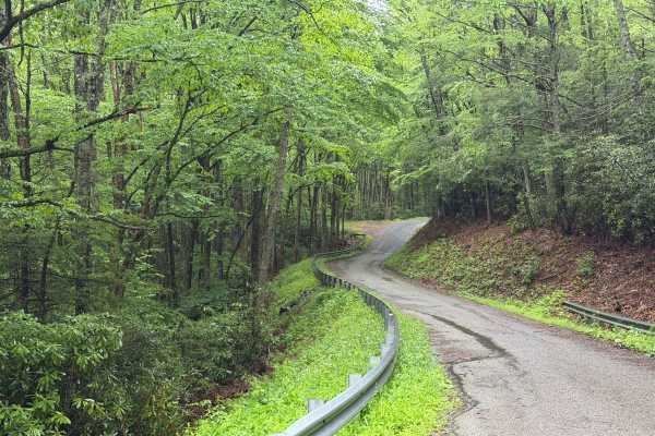
Flat Top Trail can be accessed from Forest Service Road 84 (Hurricane), which is part of both the Mid-Atlantic Backcountry Discovery Route (MABDR) and the Virginia TransAmerica Trail (TAT), or via Laurel Valley Road (State Route 603) across from Grindstone National Forest Campground, which is currently closed due to damage from Hurricane Helene.
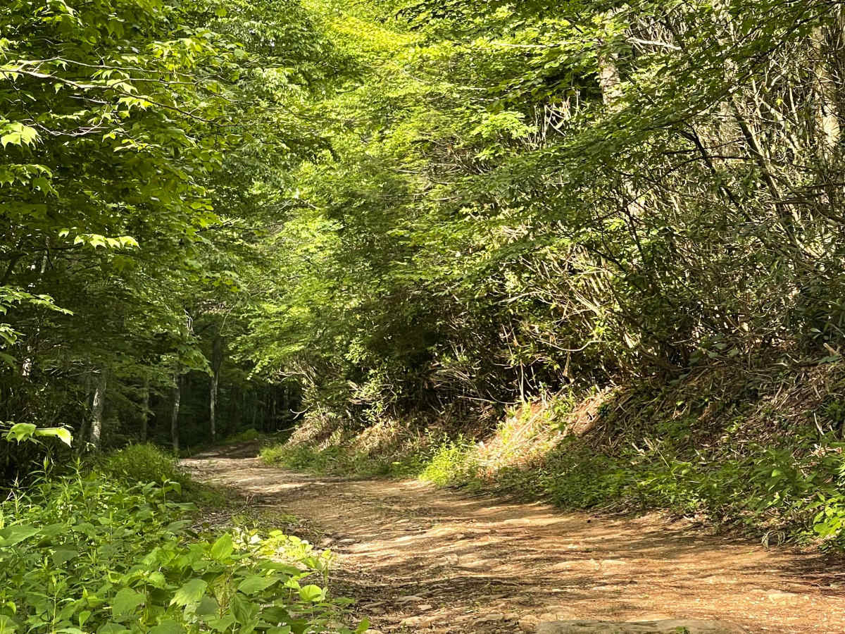
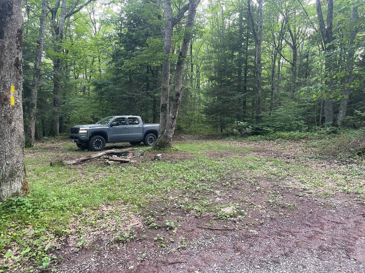
At approximately 2.5 miles in length, this trail provides either a quick escape from or convenient access to Forest Service Road 84. Several dispersed campsites are located along the route and can accommodate multiple vehicles. One of the most desirable campsites is situated near the junction with the Virginia Highlands Horse Trail.
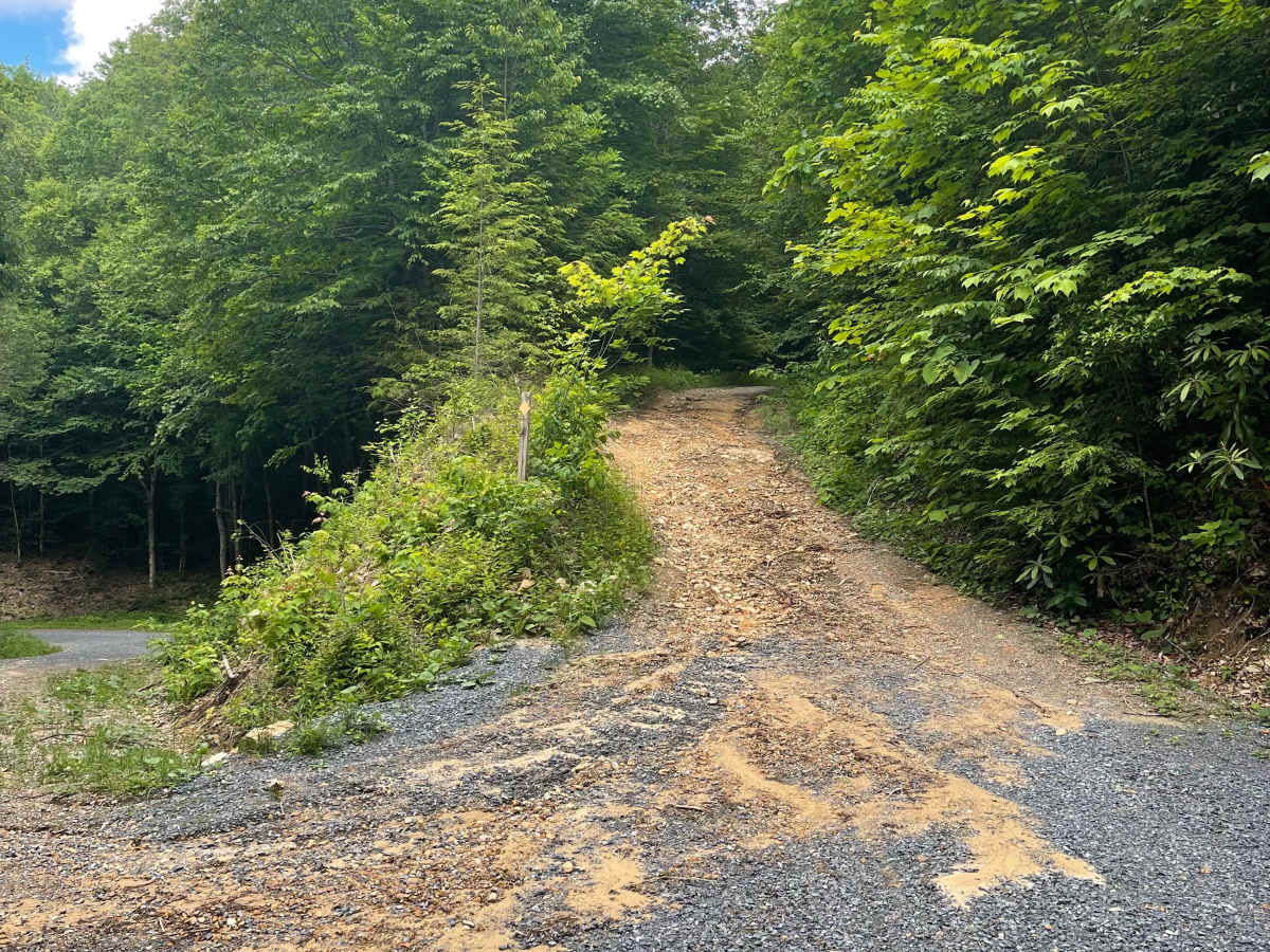
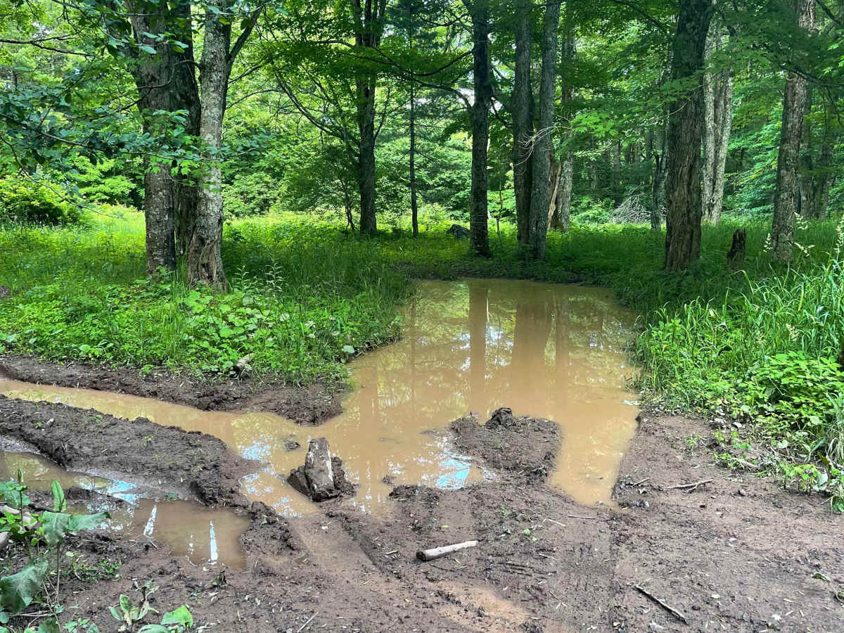
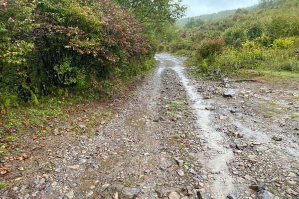
Near the midpoint of the trail, there is a large mud hole adjacent to the main route. The bottom is extremely soft, and attempting to drive through it is likely to result in a stuck vehicle.
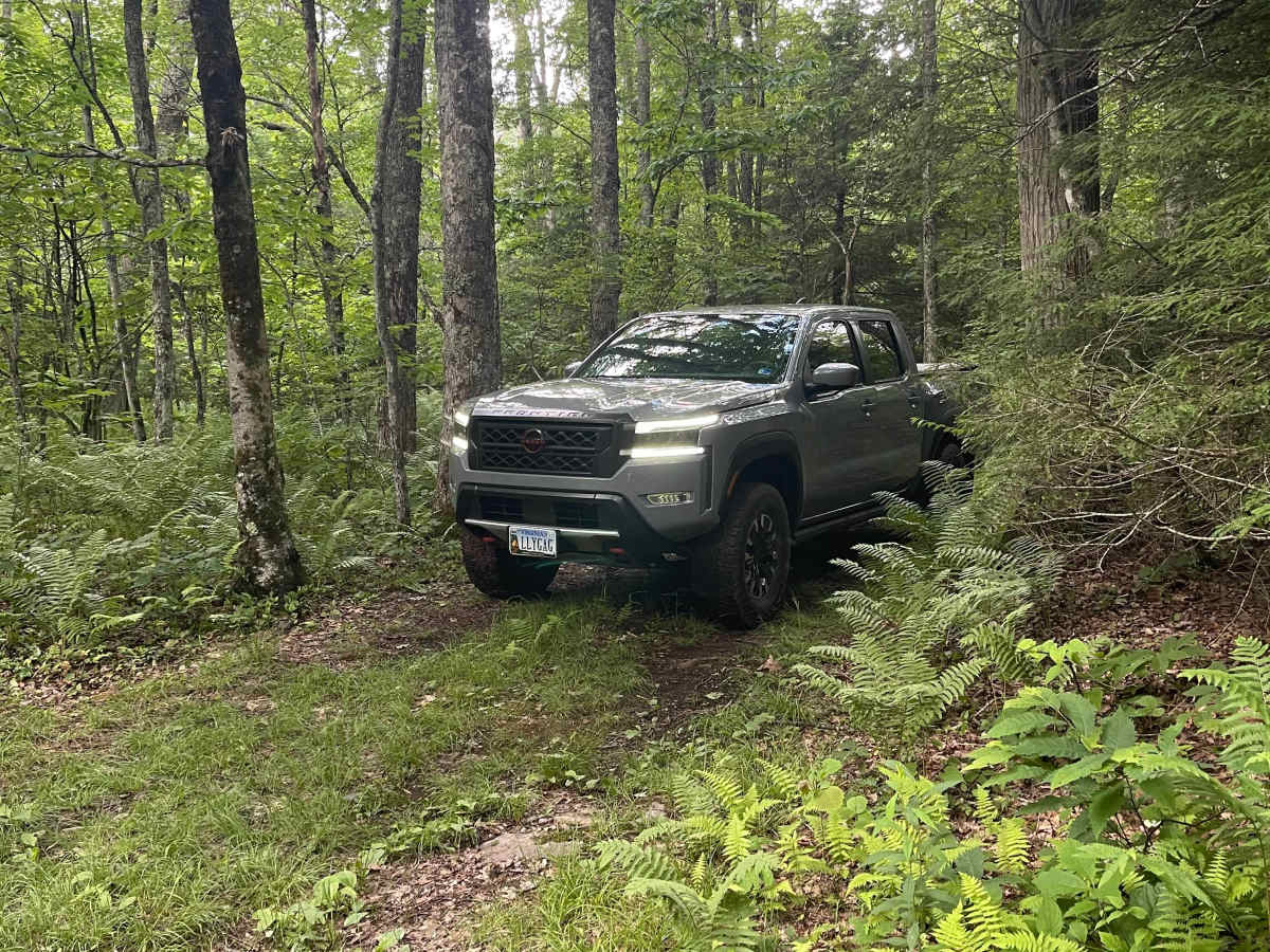
The section approaching Forest Service Road 84 becomes steeper and rougher, but most AWD and 4WD vehicles should have little difficulty when driven with appropriate tire pressure and line selection.
According to the National Forest Service, Flat Top Trail is seasonally closed from January through April.
Difficulty
This trail is the textbook example of a class 3 trail. According to the rating system, this trail offers an optional mudhole if you want to test your winch, a rutted, uneven dirt trail with loose rock and short, steep grades.