Trail Overview
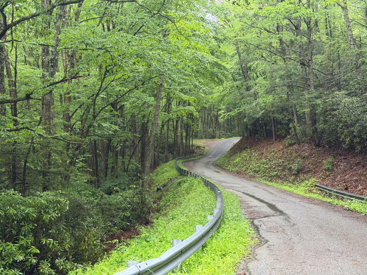
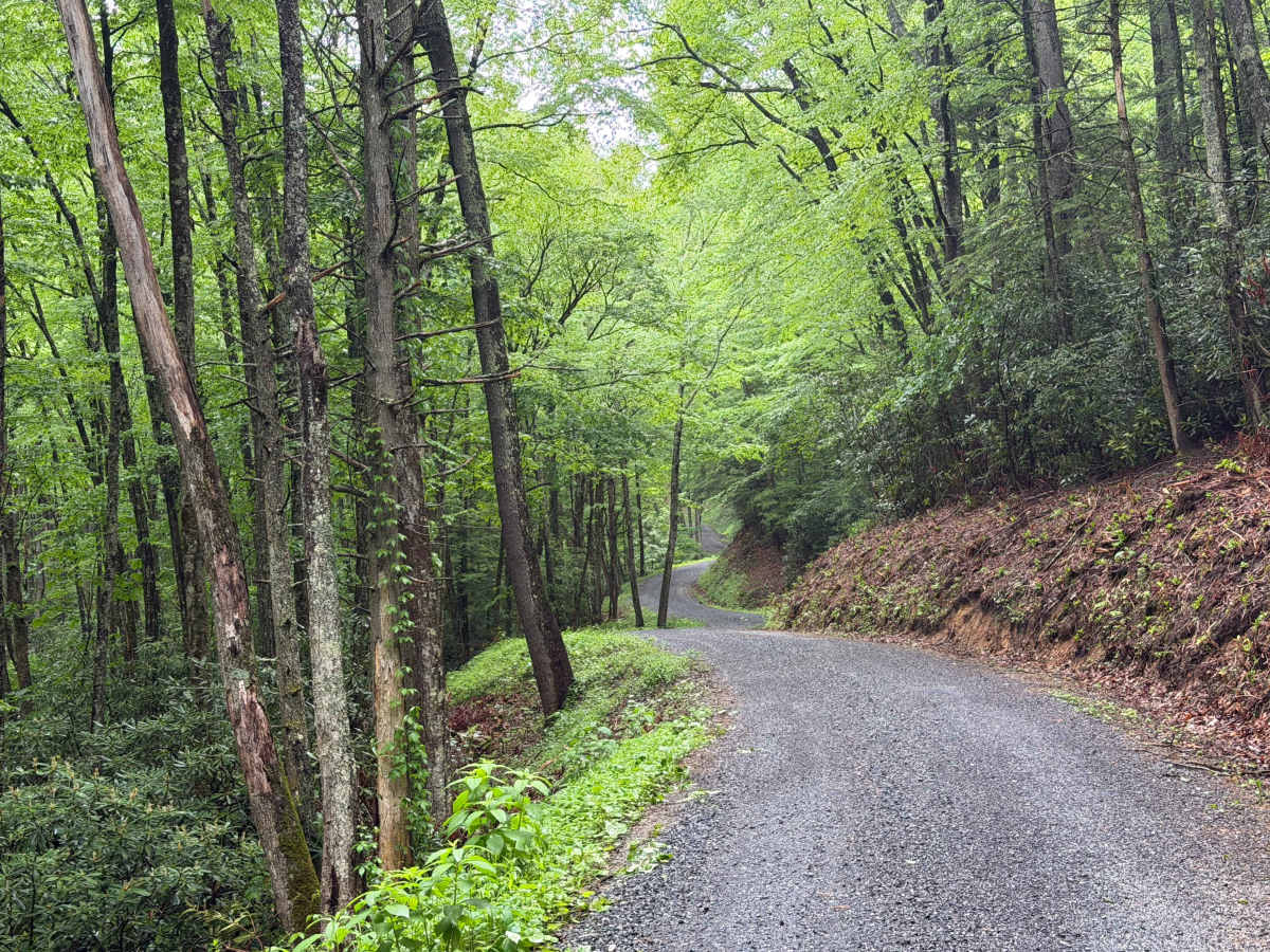
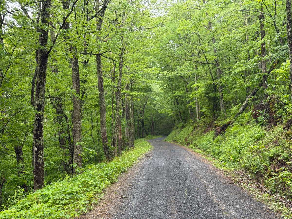
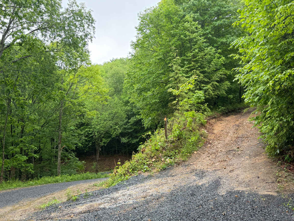
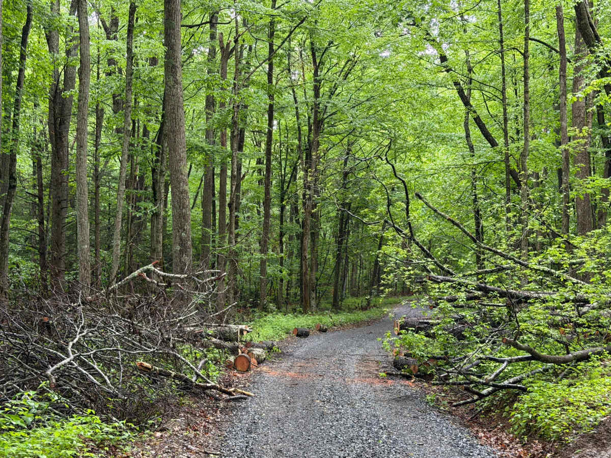
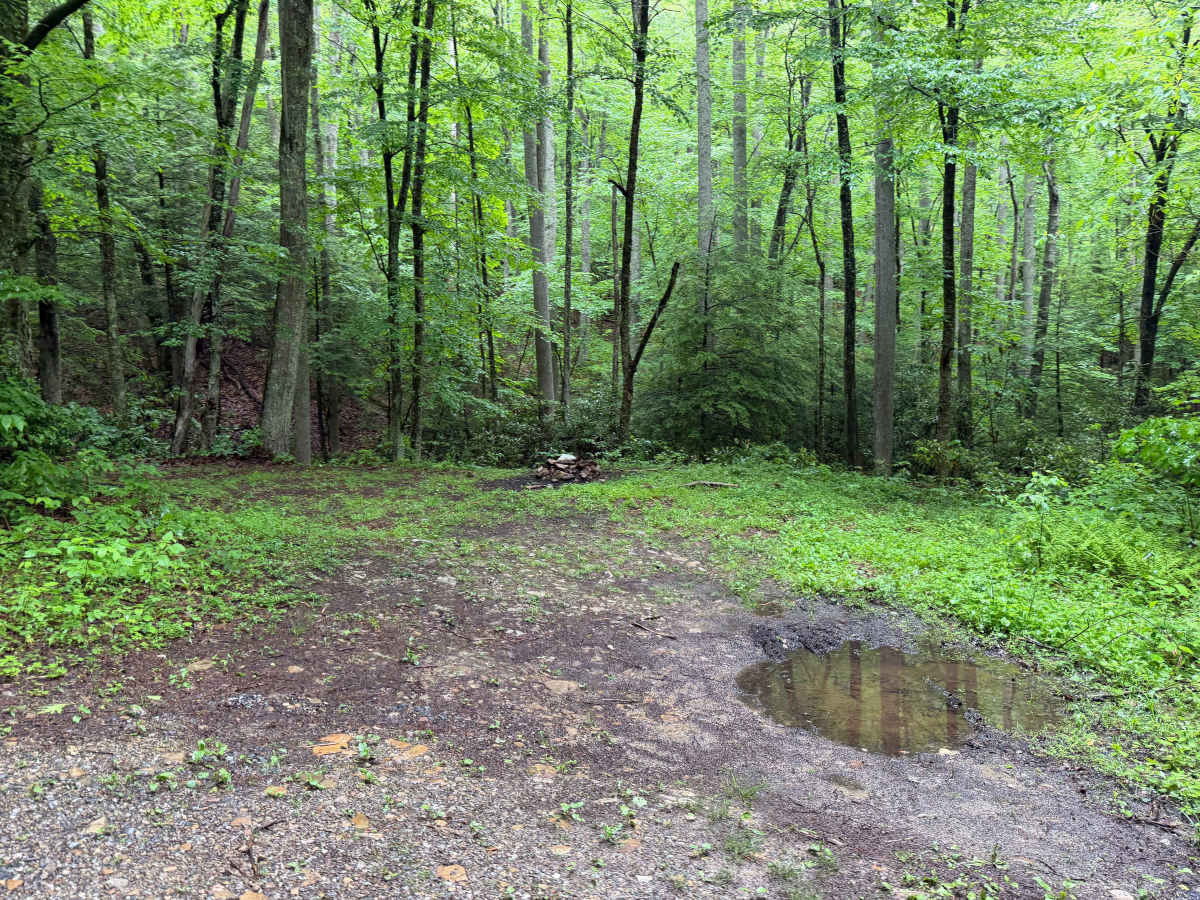
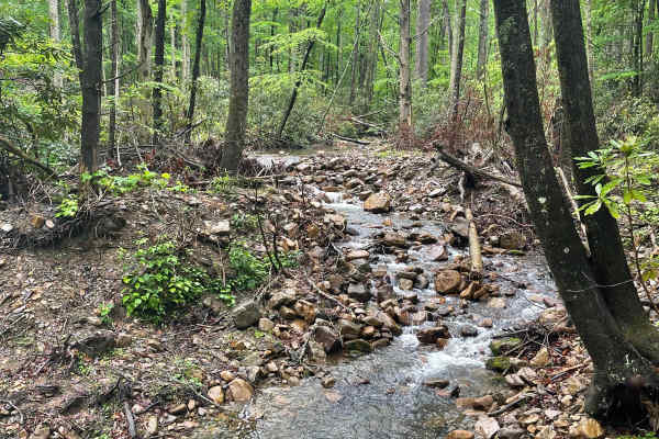
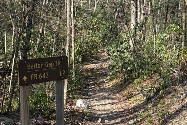
Hurricane - FS 84 is a Forest Service road winding through the Jefferson National Forest. The trail runs along Hurricane Mountain, Grave Mountain, and Sharp Top, featuring beautiful views of the surrounding valley, forest, and Hurricane Creek. This route is a relatively standard Forest Service road that has been recently improved and graded, offering a smooth gravel surface. Along the route, drivers will encounter a popular dirt bike trail offshoot, Barton Gap, an intersecting high-clearance Forest Service road, Flat Top, and a handful of hiking trails providing access to the Appalachian Trail and many others. Towards the eastern end of the trail is Hurricane Campground, which provides about 27 campsites, vault toilets, and dump stations. It should be noted that the first 1/8 mile or so is paved, simply providing access to the campground; however, it does transition to a gravel road.