Blevins Road

Total Miles2.1
Technical Rating
1Easy
Best TimeSpring, Summer, Fall, Winter
Trail TypeFull-Width Road
Accessible By
Open Trail Map

Trail Overview

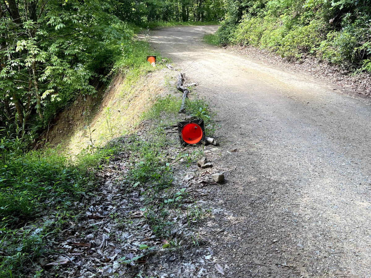
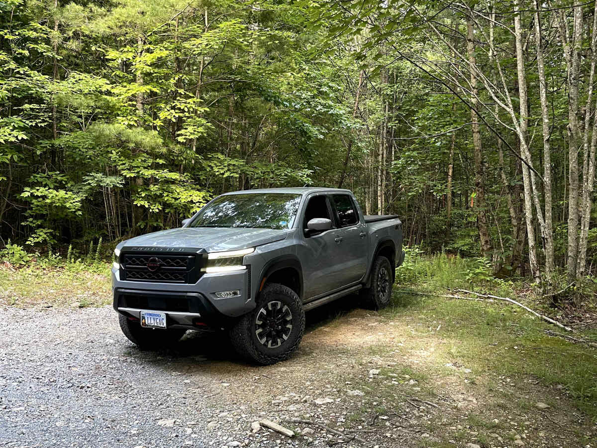
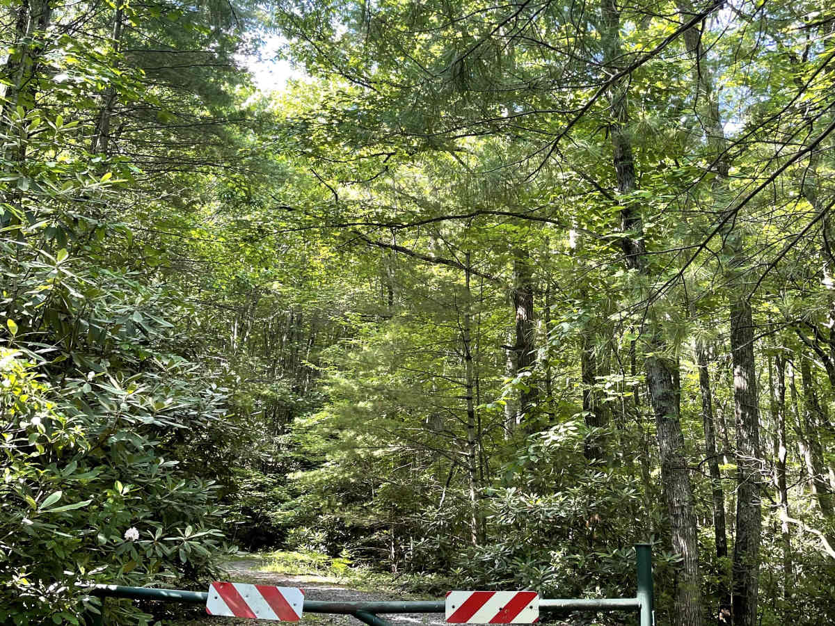
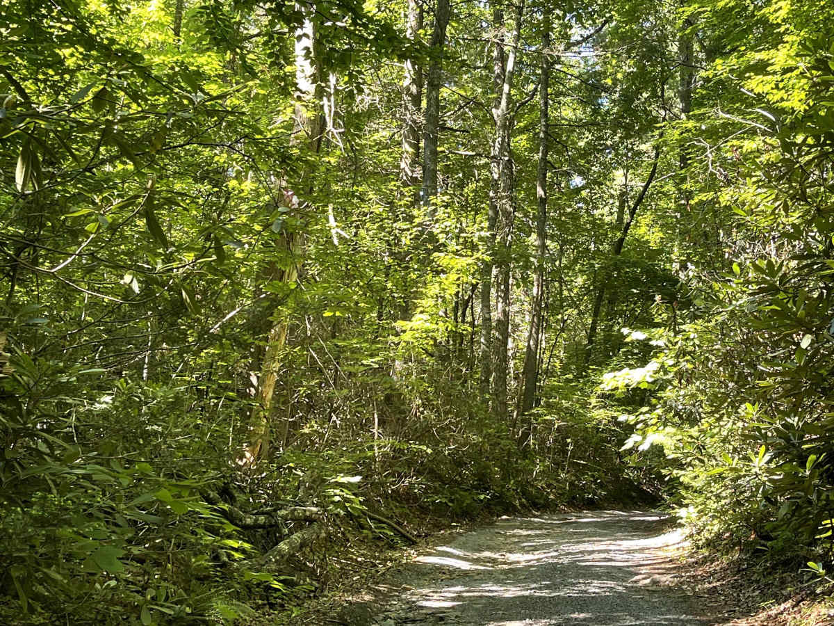
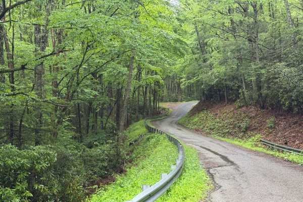
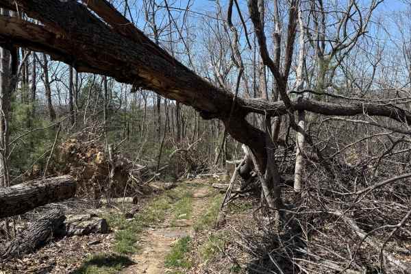
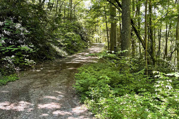
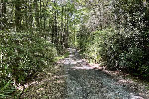
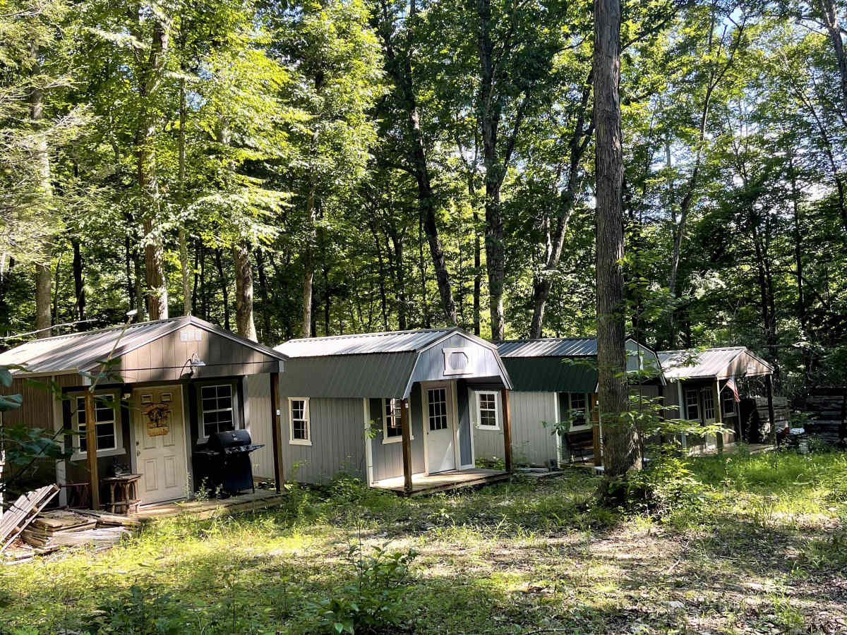
Blevins Road is an easily traversable gravel road that transitions into hard-packed dirt as it progresses. Approximately 2.1 miles from the trailhead, a National Forest Service gate remains closed year-round, preventing vehicle access beyond that point. However, the gate allows passage for ADV motorcycles. While the route becomes an out-and-back trail for full-size vehicles, it provides access to several hiking opportunities and scenic forest surroundings. An emergency dispersed campsite is located near the gate, offering a convenient option for overnight use if needed.

Photos of Blevins Road

Difficulty

Easily traversable for any vehicle.

Technical Rating

1

Blevins Road Trail can be accessed by the following ride types:

  • Single Track
  • High Clearance
  • Full Width

Blevins Road Map

The onX Offroad Difference

onX Offroad combines trail photos, descriptions, difficulty ratings, width restrictions, seasonality, and more in a user-friendly interface. Available on all devices, with offline access and full compatibility with CarPlay and Android Auto. Discover what you're missing today!

Open Trail Map