State Route 623

Total Miles9.9
Technical Rating
1Easy
Best TimeSpring, Summer, Fall, Winter
Trail TypeFull-Width Road
Accessible By
Open Trail Map

Trail Overview

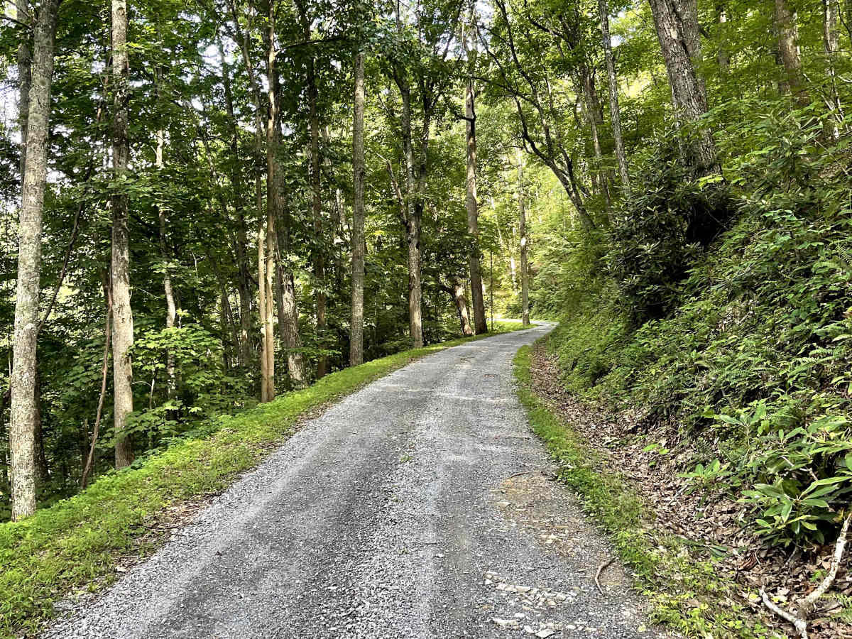
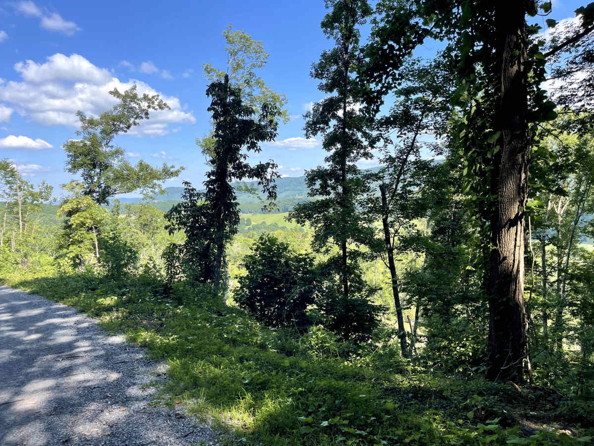
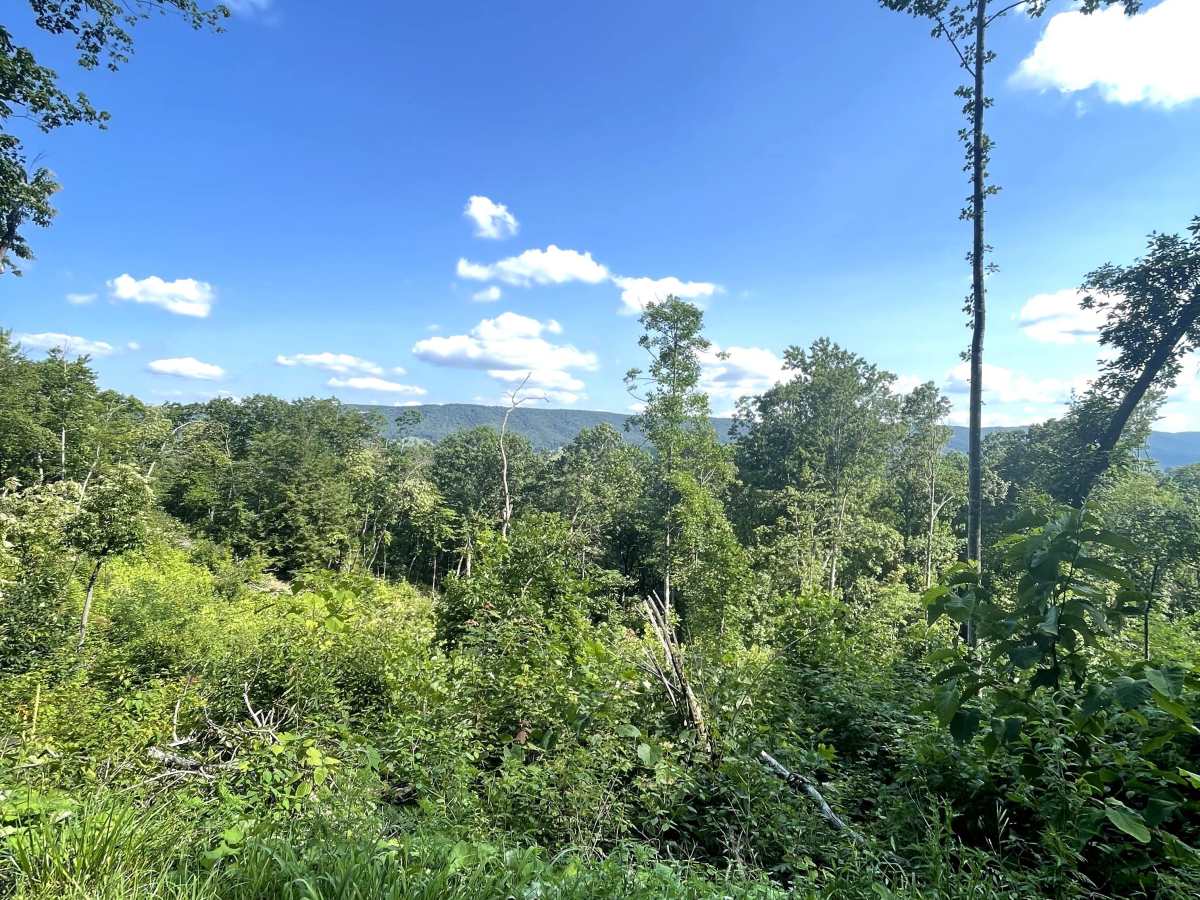
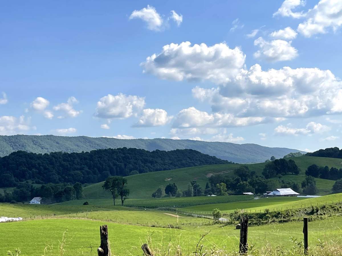
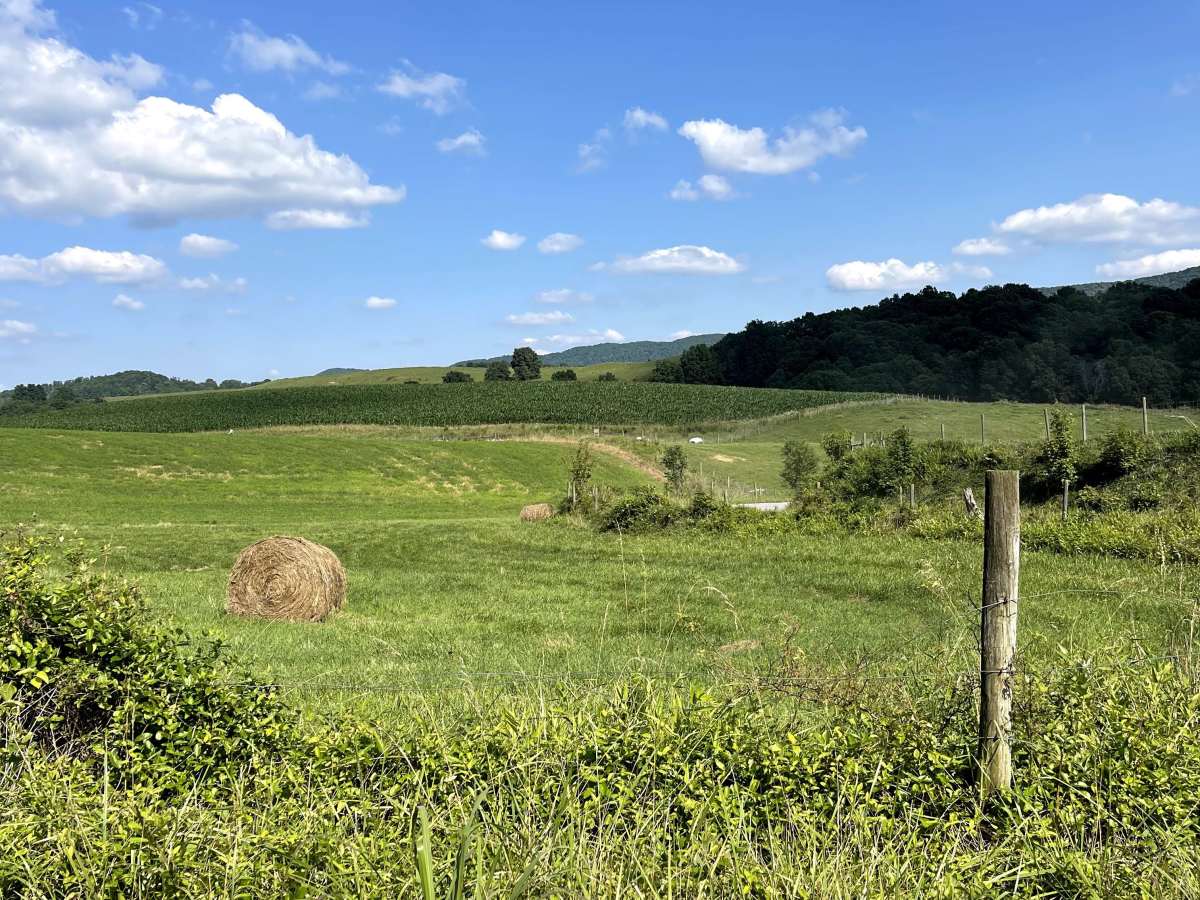
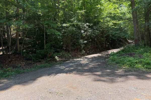
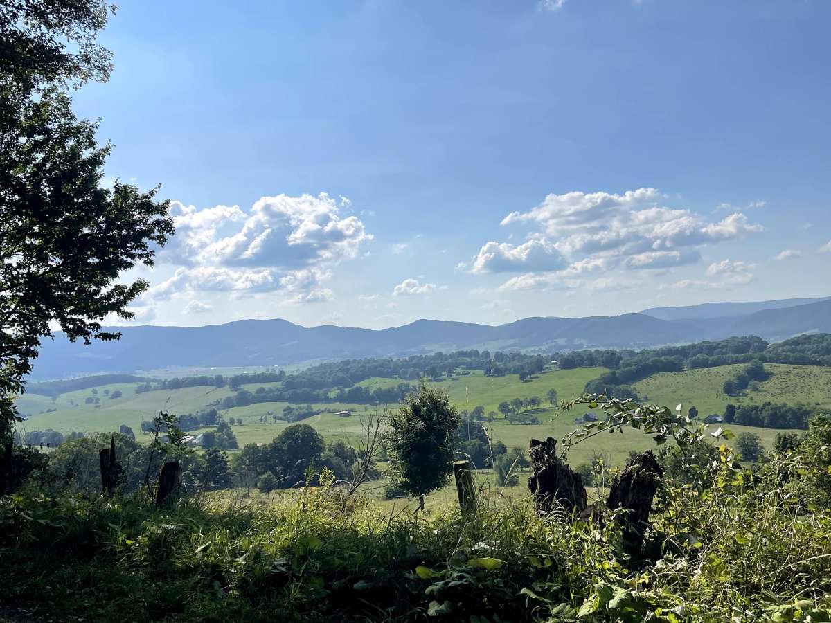
State Route 623 begins or ends in the Sharon Springs community and offers one of the most scenic drives in the area. This hard-packed gravel and dirt route is easy to traverse and provides breathtaking views throughout the journey. The trail winds through valleys, open meadows, and rural landscapes across portions of Bland and Tazewell counties, offering a peaceful backcountry experience with plenty of opportunities to take in the surrounding scenery. During the fall, this route becomes especially impressive as the changing leaves transform the mountainsides with vibrant colors. State Route 623 is suitable for all vehicles under normal conditions and is a great option for anyone looking to enjoy a relaxing scenic drive through southwest Virginia.

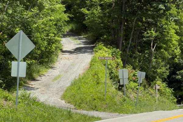
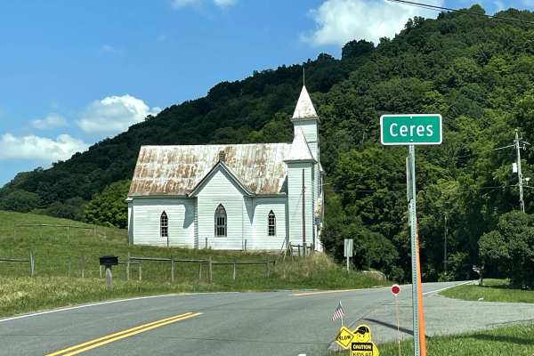
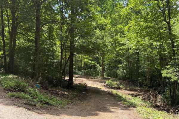
Photos of State Route 623

Difficulty

Hard-packed gravel and dirt. Suitable for all vehicles.

Technical Rating

1

State Route 623 Trail can be accessed by the following ride types:

  • Single Track
  • High Clearance
  • Full Width

State Route 623 Map

The onX Offroad Difference

onX Offroad combines trail photos, descriptions, difficulty ratings, width restrictions, seasonality, and more in a user-friendly interface. Available on all devices, with offline access and full compatibility with CarPlay and Android Auto. Discover what you're missing today!

Open Trail Map