Trail Overview
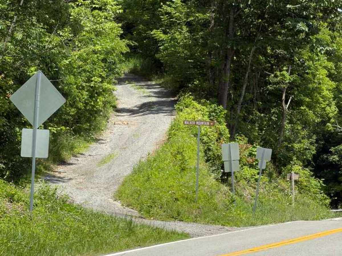
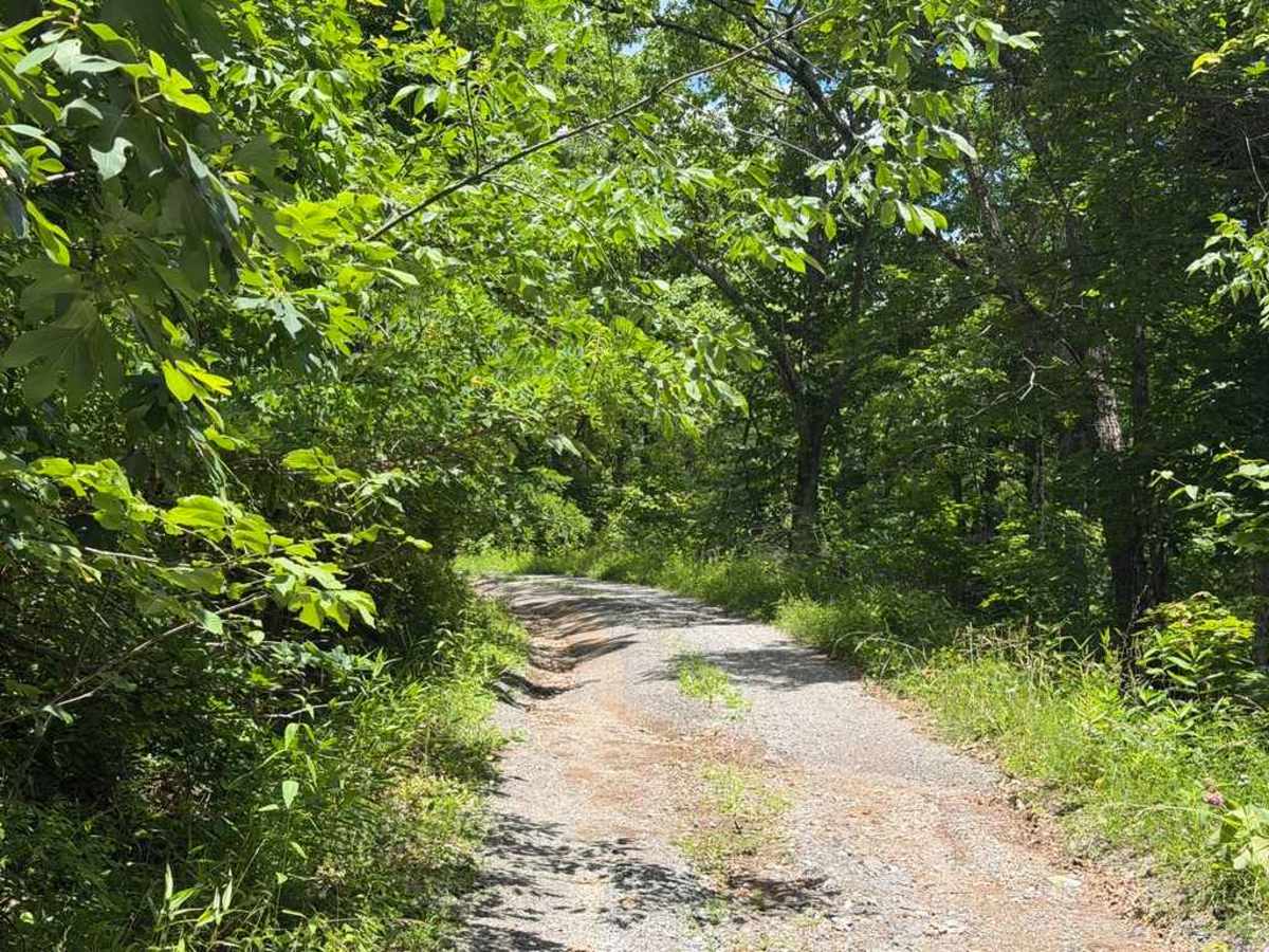
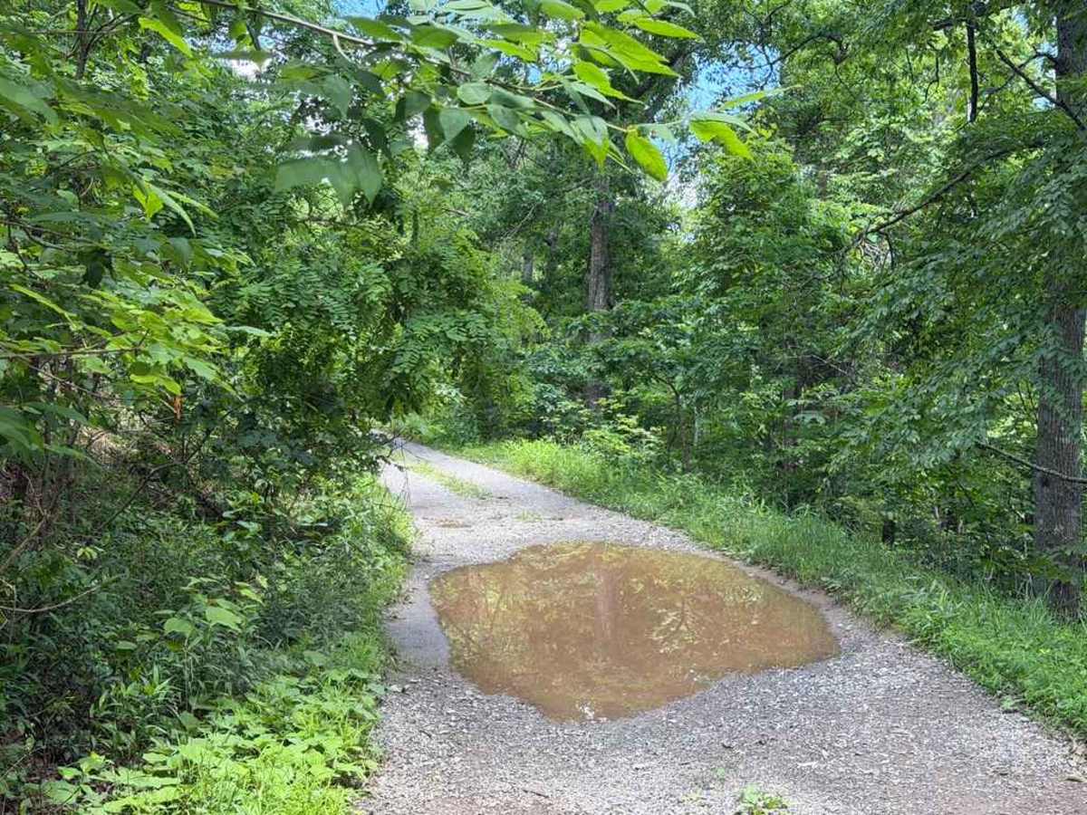
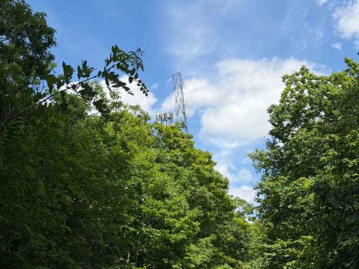
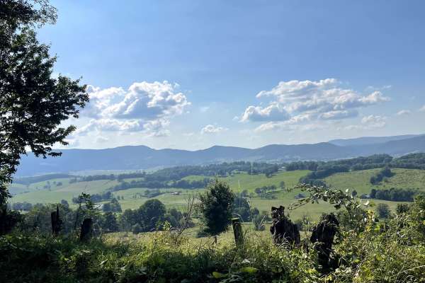
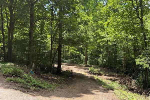
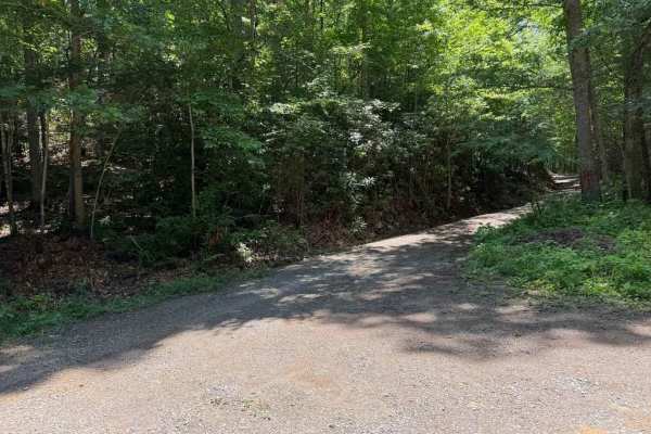
Walker Mountain - FS 206 is a Forest Service road running along the ridgeline of Walker Mountain within the Jefferson National Forest. The first half of the route is a relatively easy, maintained dirt road with occasional potholes and some encroaching brush. Around the halfway point, the trail passes a pair of cellular towers, marking a transition into much more challenging terrain. The second half becomes a very narrow, unmaintained track featuring small to medium mud pits, deep puddles, ruts, and heavy brush. A few pull-offs and clearings along the route offer great spots for dispersed camping or sightseeing. While the cellular towers sit on National Forest land, they are marked as private property. A unique highlight of this trail is the Walker Mountain Tunnel on Interstate 77, which cuts directly through the mountain roughly 1,000 feet below the route.
Difficulty
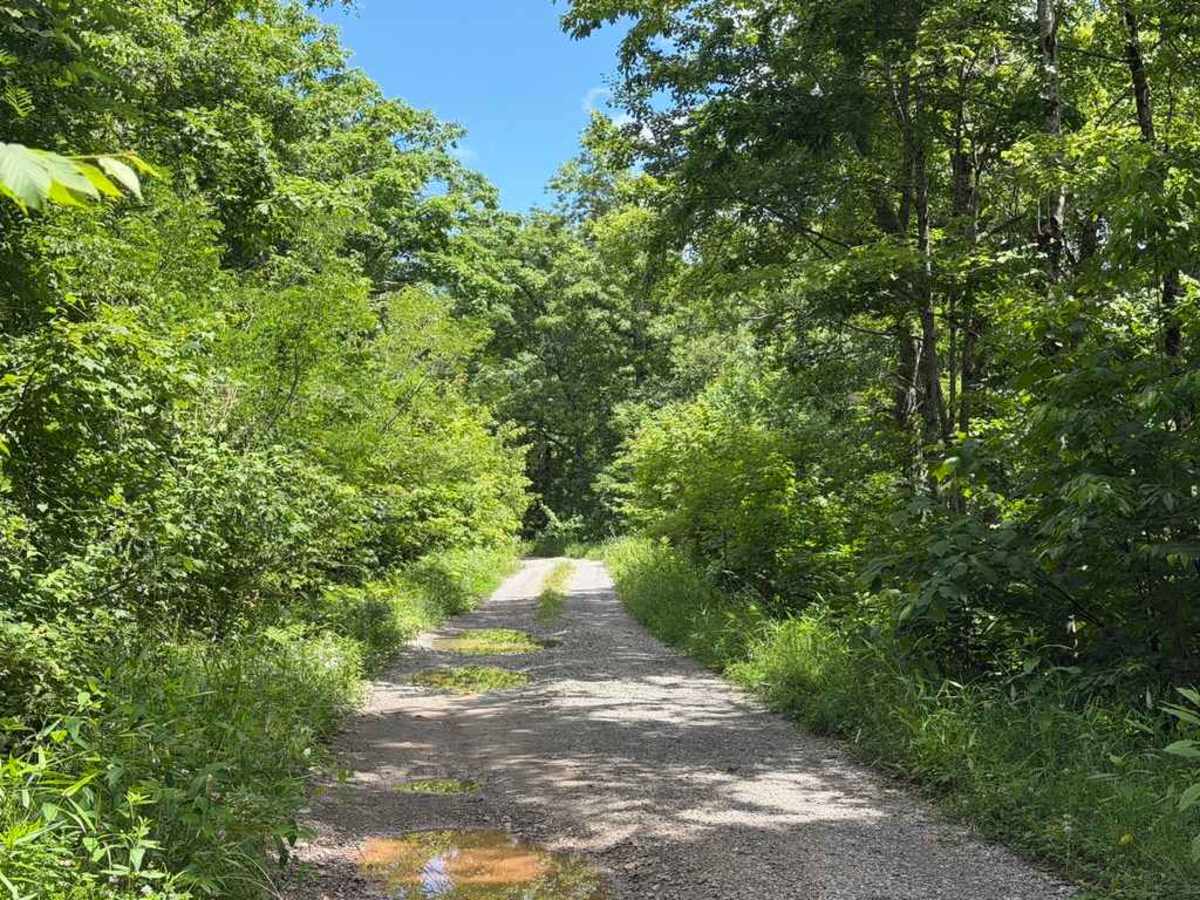
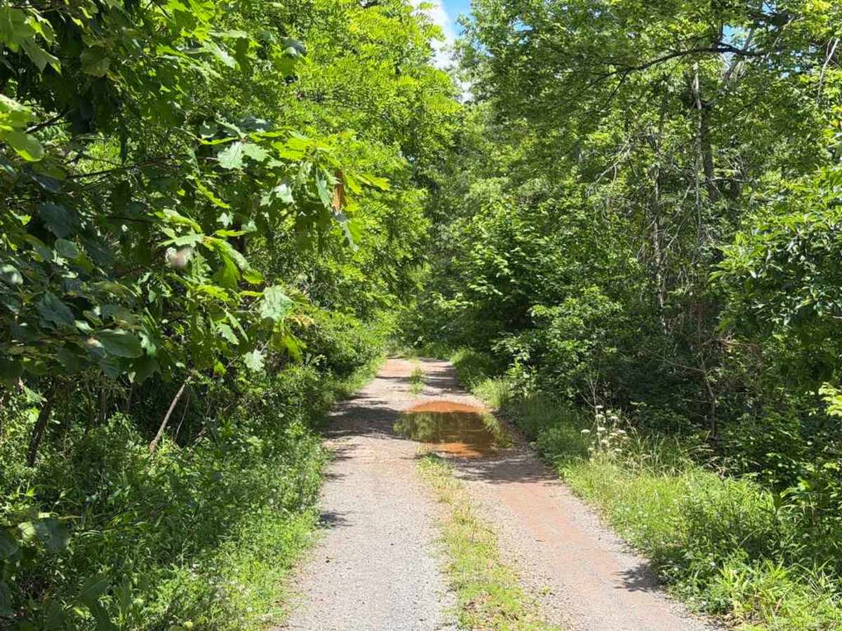
The first half of the route follows a standard, well-maintained Forest Service road with a few small potholes and ruts; however, the second half transitions to a narrow, unmaintained track with ruts, deep puddles, and mud pits up to roughly 8 inches deep. Puddle and mud pit depths can vary significantly depending on recent rainfall, and the majority of them have solid bottoms, though this could change depending on the weather. Encroaching vegetation is also present along the latter half, making trail pin striping highly likely.

 Offroad