State Route 625

Total Miles5.5
Technical Rating
1Easy
Best TimeSpring, Summer, Fall, Winter
Trail TypeFull-Width Road
Accessible By
Open Trail Map

Trail Overview

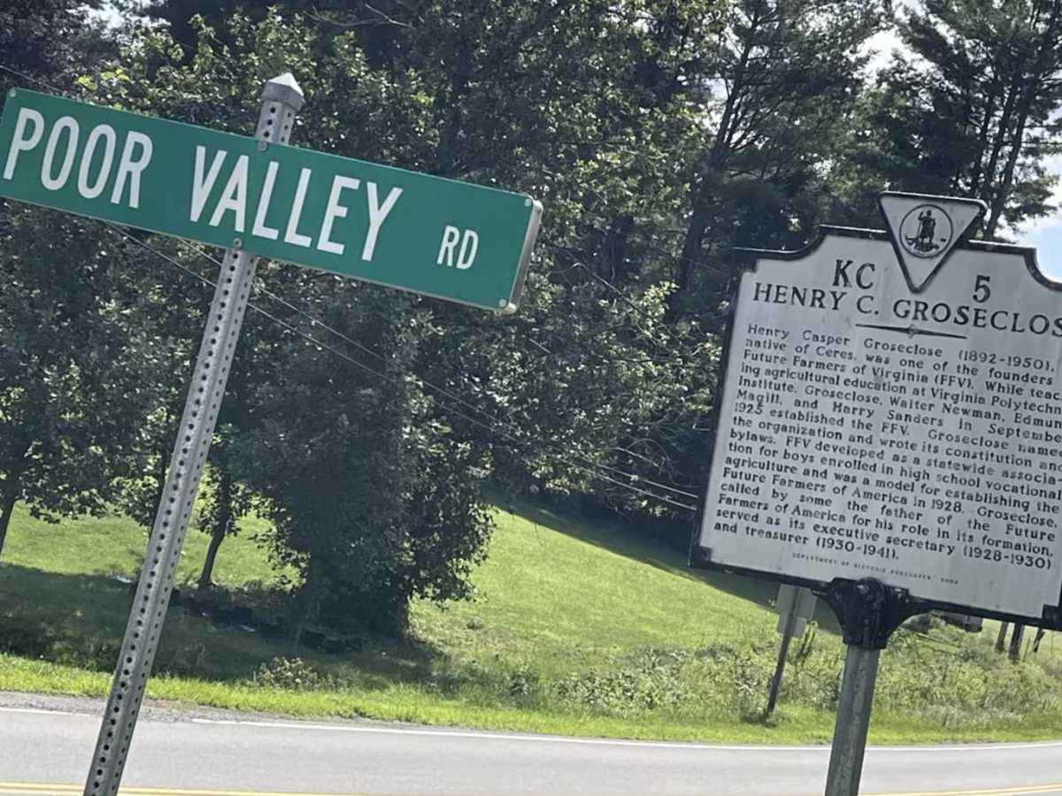
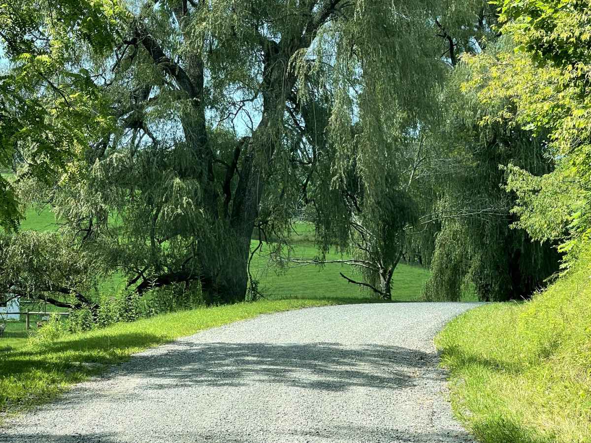
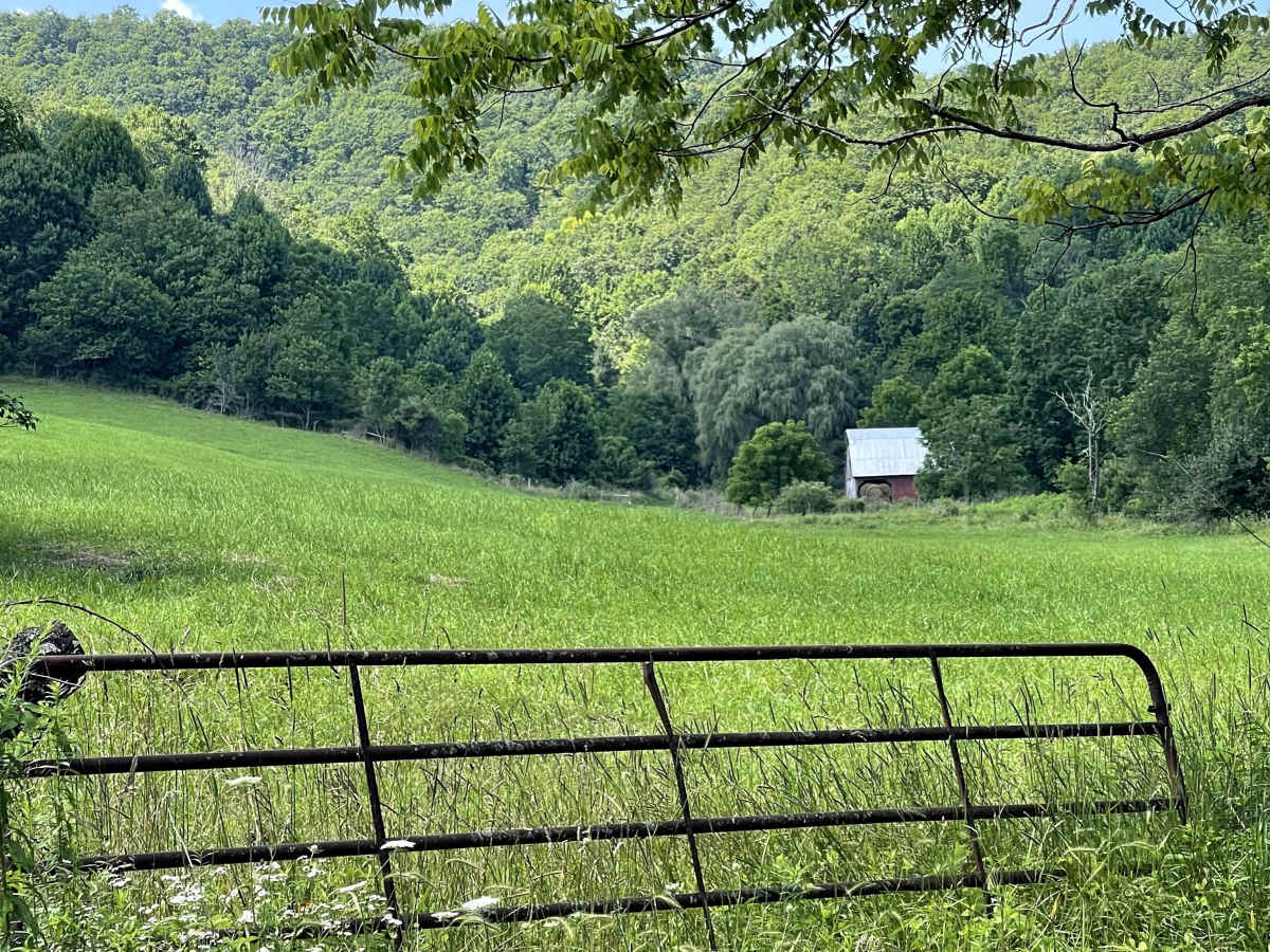
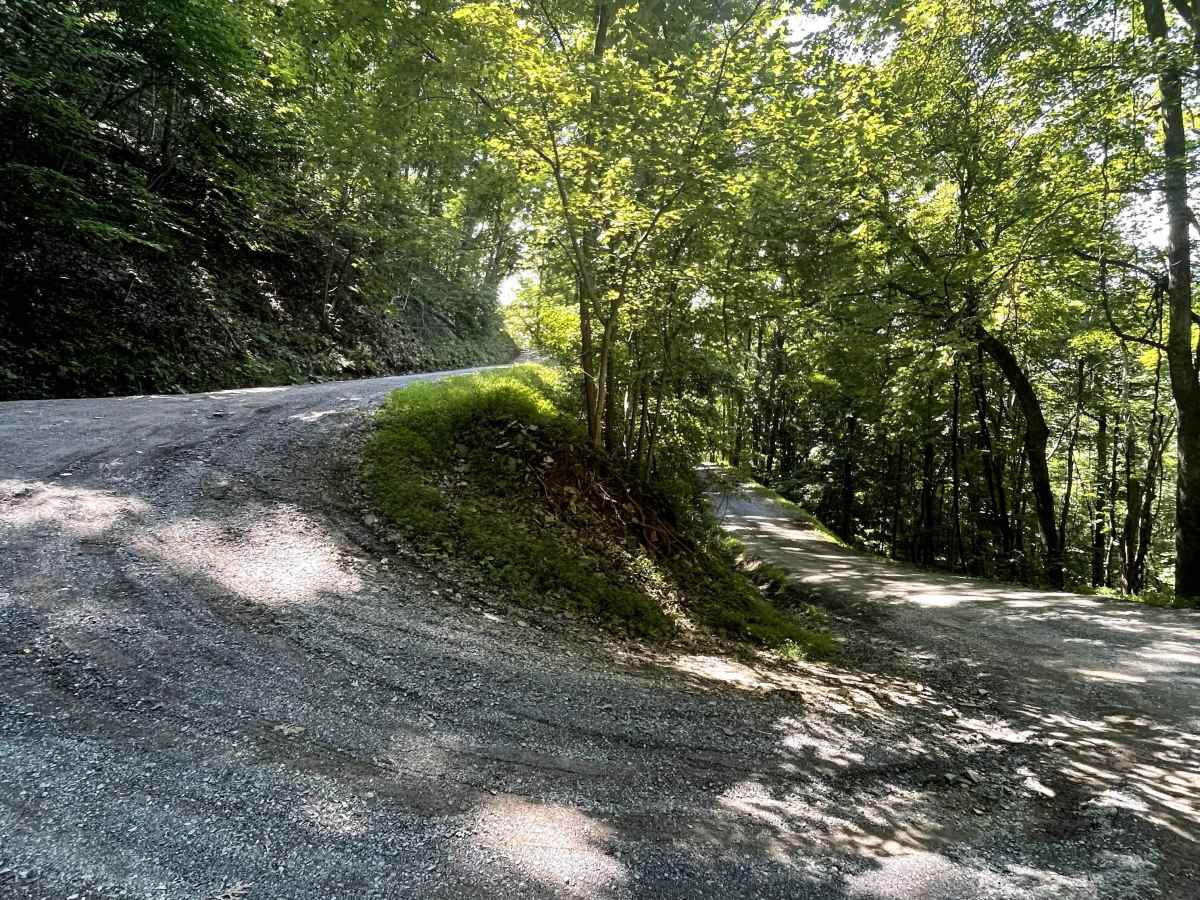
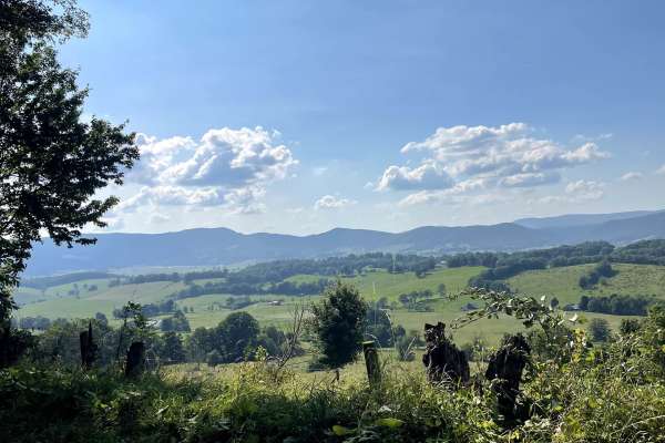
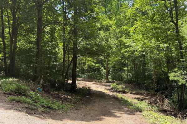
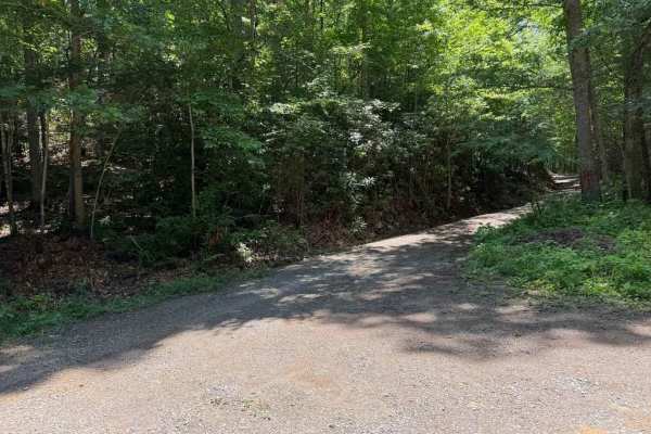
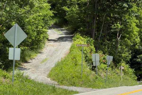
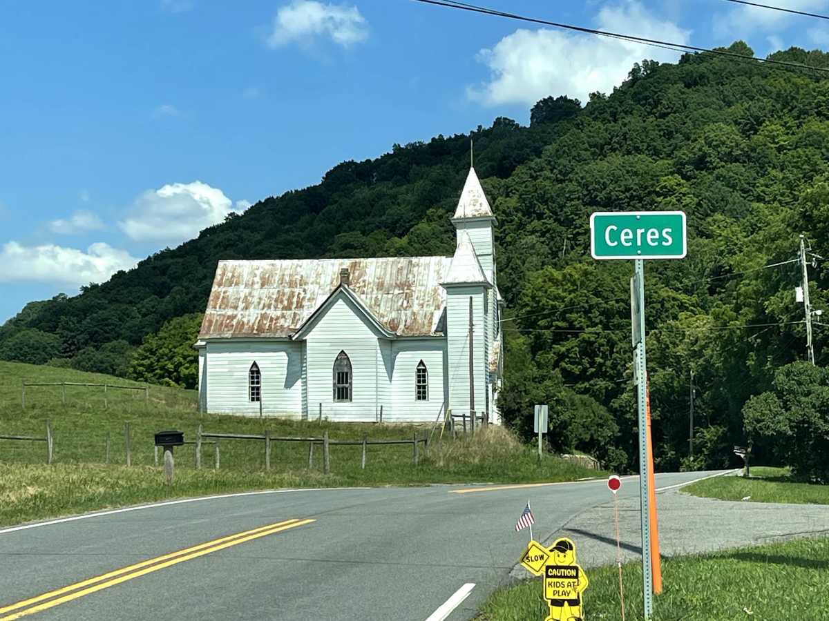
State Route 625 is accessed from the small backcountry community of Ceres and provides a scenic connection to Poor Valley Road (FS 222). This route follows a combination of hard-packed gravel and dirt surfaces, offering travelers an opportunity to extend their off-pavement adventure while remaining close to the town of Tazewell, Virginia. It serves as an access point to a longer off-road route, making it a great option for those looking to spend additional time exploring the back roads and forests of the area. Residential homes are located along portions of the route, so drivers should be mindful of posted speed limits and respect the local community. State Route 625 is suitable for all vehicles under normal conditions.

Photos of State Route 625

Difficulty

Suitable for all highway-legal vehicles, including 2WD vehicles.

Technical Rating

1

State Route 625 Trail can be accessed by the following ride types:

  • Single Track
  • High Clearance
  • Full Width

State Route 625 Map

The onX Offroad Difference

onX Offroad combines trail photos, descriptions, difficulty ratings, width restrictions, seasonality, and more in a user-friendly interface. Available on all devices, with offline access and full compatibility with CarPlay and Android Auto. Discover what you're missing today!

Open Trail Map