Glade Mtn FS 86

Total Miles5.7
Technical Rating
1Easy
Best TimeSpring, Summer, Fall, Winter
Trail TypeFull-Width Road
Accessible By
Open Trail Map

Trail Overview

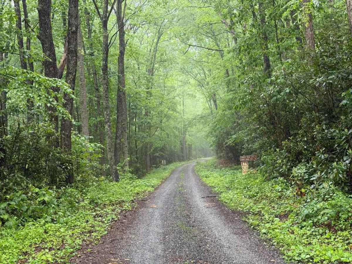
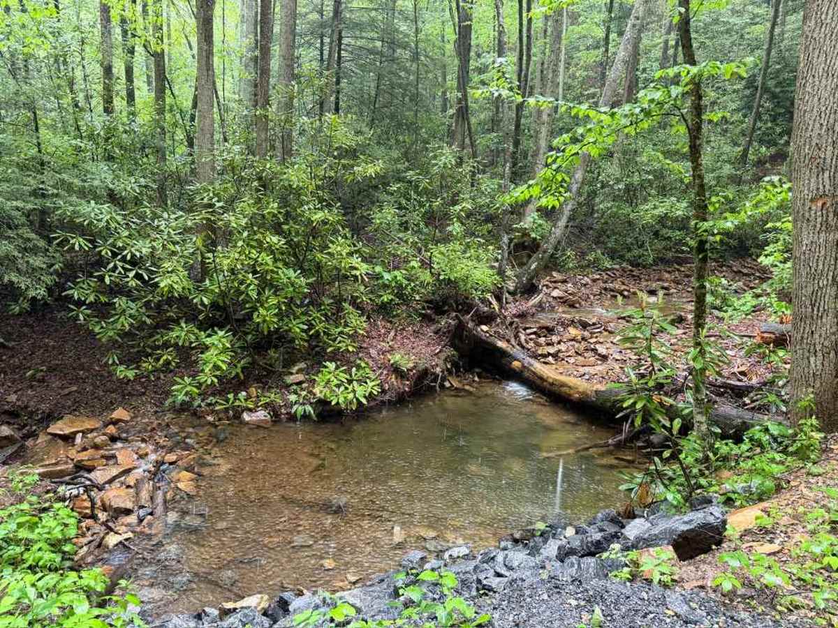
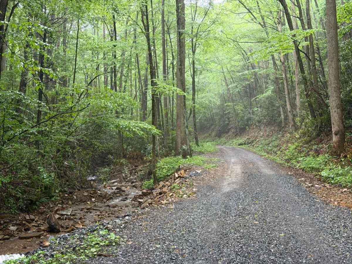
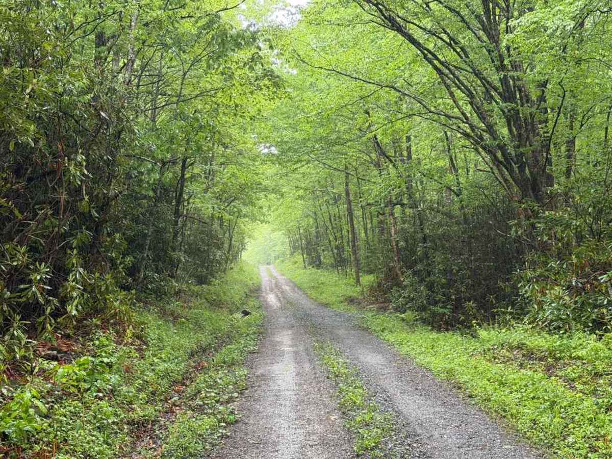
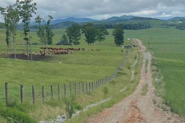
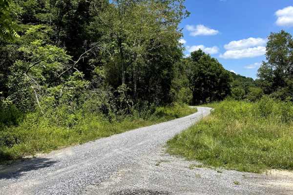
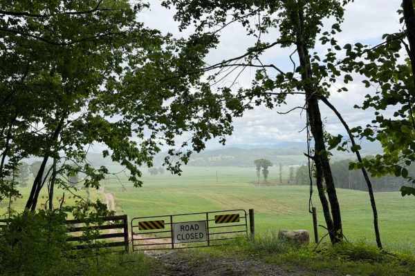
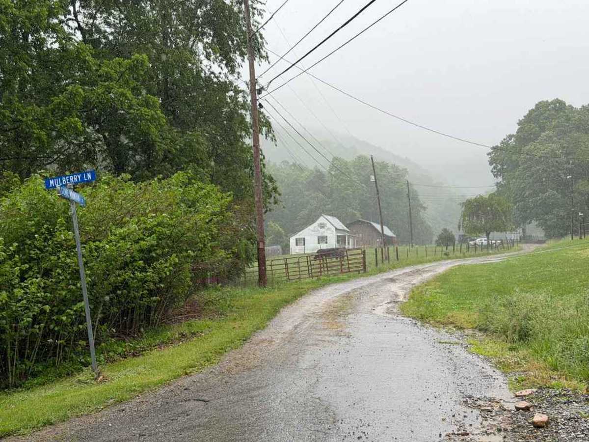
Glade Mtn FS 86 is a Forest Service trail located within the Jefferson National Forest. While a few portions of the route have recently been graded and finished with fresh gravel, other sections are less maintained, featuring scattered ruts and small rocks. The trail runs along the southern end of Glade Mountain before seamlessly transitioning into Overbay FS 644 toward the southeast. Roughly halfway through the drive, the trail intersects with the Appalachian Trail, providing excellent opportunities for hiking. Along the route, visitors can enjoy diverse scenery, ranging from peaceful streams and creeks running parallel to the trail to active farm fields with livestock and expansive views of the surrounding Jefferson National Forest.

Photos of Glade Mtn FS 86

Difficulty

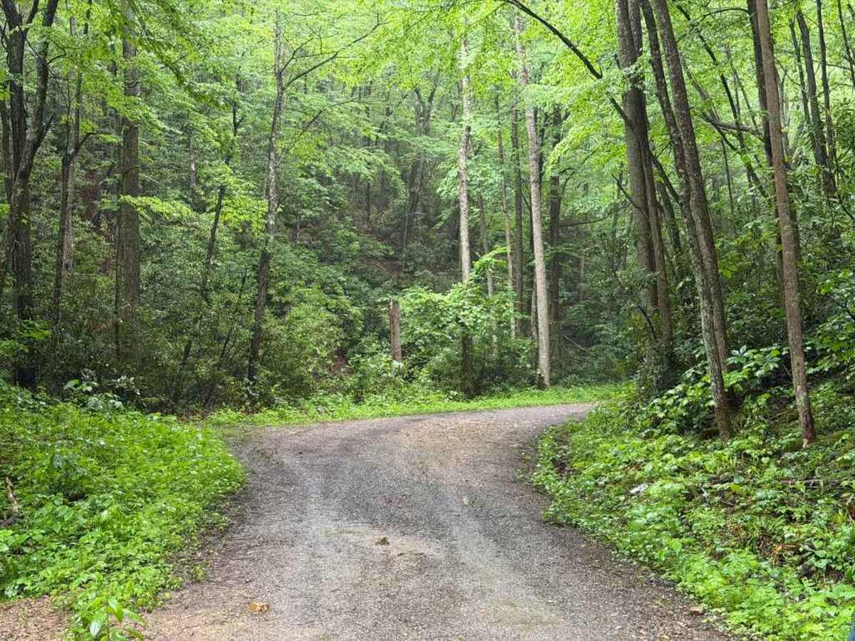
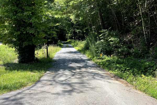
The trail is well-maintained, featuring only a few rough sections with small ruts no larger than a few inches, and multiple areas that have been recently redone. However, drivers will encounter a few tight turns and narrow sections, making cautious driving paramount.

Technical Rating

1

Glade Mtn FS 86 Trail can be accessed by the following ride types:

  • High Clearance
  • Full Width

Glade Mtn FS 86 Map

The onX Offroad Difference

onX Offroad combines trail photos, descriptions, difficulty ratings, width restrictions, seasonality, and more in a user-friendly interface. Available on all devices, with offline access and full compatibility with CarPlay and Android Auto. Discover what you're missing today!

Open Trail Map