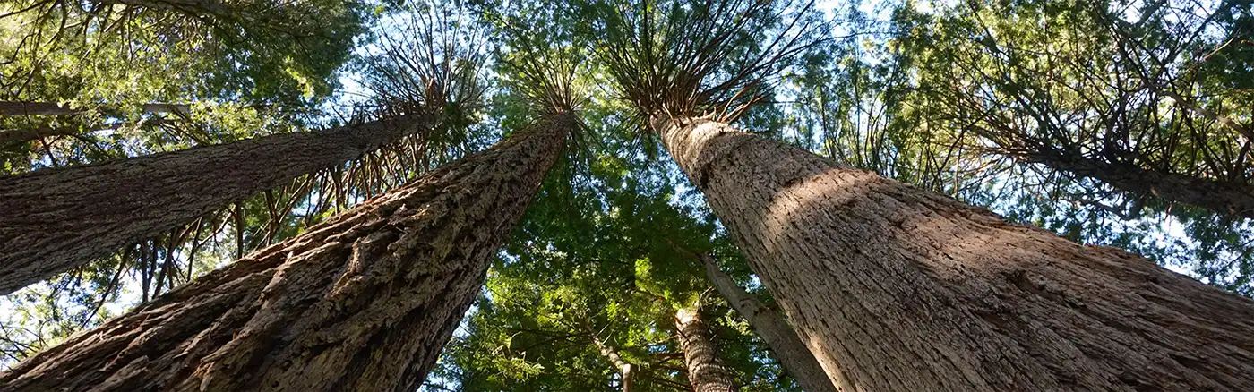
Beginner Off-Road Trails
Near California Pines, California
Explore All Beginner Trails Near California Pines, California
Beginner Off-Road Trails Near California Pines, California
Discover the best beginner-friendly off-road trails near you. These easier, lower-rated trails are a great place to start — browse trail maps, check difficulty ratings, and find your next adventure.
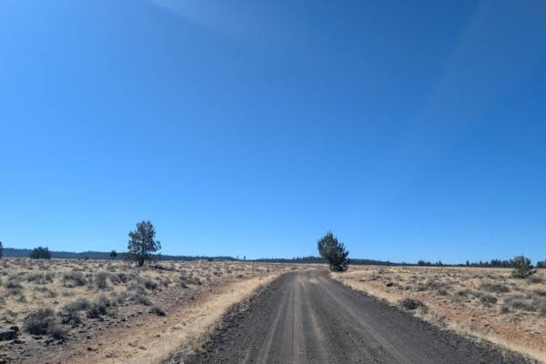
FS 42N06A
This well-maintained black gravel road offers an easy, pleasant drive to a limited-service campsite right along the reservoir. The surface is generally smooth and in good condition, making it accessible without any significant challenges. The campsite has a restroom, which is a nice bonus for anyone...
Learn more about FS 42N06A
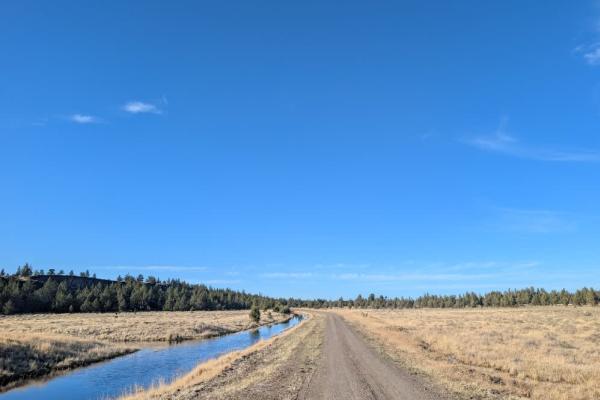
FS 44N33
This well-maintained road begins near Reservoir F Campground and follows a beautiful route through the Fairchild Swamp area. Much of the drive runs alongside the wetlands, where a variety of birdlife can be spotted, including ospreys, bald eagles, turkeys, and geese. The area is especially interesti...
Learn more about FS 44N33
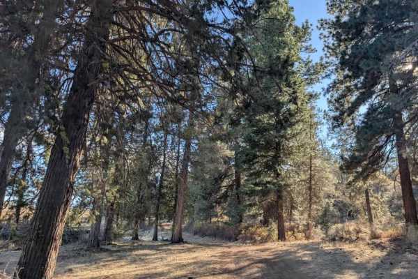
FS 43N36B
This short, beautiful road winds through the forest and leads to a lovely campground near the reservoir. Along one section, there are approximately six campsites with picnic tables, making these the best spots to set up camp. The road continues through a tighter stand of trees before reaching its en...
Learn more about FS 43N36B
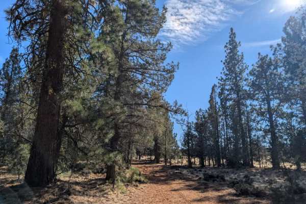
FS 43T75EB
This route begins as a relatively pleasant drive off the main road, but conditions gradually deteriorate as the trail becomes increasingly rocky and cluttered with fallen trees and forest debris. Drivers will need to weave around numerous obstacles, with several alternate paths already worn in by Sx...
Learn more about FS 43T75EB
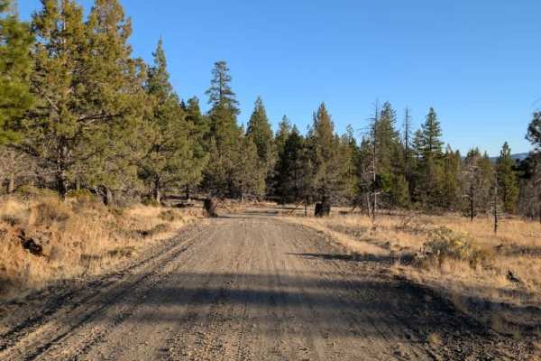
Washington Mountain Connector South - FS 42N81A
This somewhat long trail begins on a well-maintained gravel road that winds along the edge of a hillside. The drive is relatively smooth at first, with the road gradually following the terrain before reaching an area that appears to have been affected by a fire. Beyond this point, the surface become...
Learn more about Washington Mountain Connector South - FS 42N81A
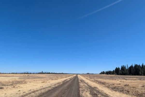
FS 42N06
This well-maintained road runs from Duncan Reservoir alongside the Duncan Pond wetlands, with several smaller trails branching off along the way. Some of these routes are no longer accessible, and many are closed or restricted due to private property and agricultural land in the area. As of October,...
Learn more about FS 42N06
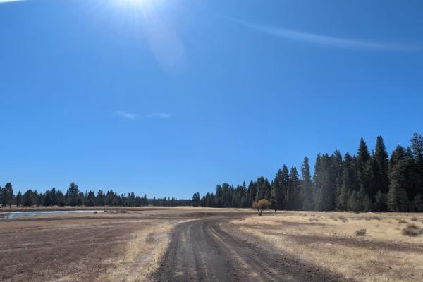
FS 46N10E
This well-maintained road leads to a reservoir with plenty of water, though algae blooms appear to be present; if you are traveling with pets, especially dogs, keep them away from the water and algae, as some types of algae can be dangerous or even fatal for them. A large fallen tree blocks the orig...
Learn more about FS 46N10E
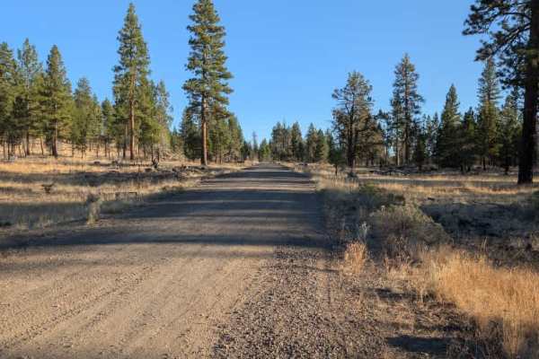
Washington Mountain Connector - FS 42N81
This connecting trail runs between Washington Creek (FS 42N21) and Washington Mountain (FS 42N07), following a gentle ridge along the hillside with some lovely views of the surrounding landscape. The route passes through a mix of open terrain and vegetation, with elevated sections offering a differe...
Learn more about Washington Mountain Connector - FS 42N81
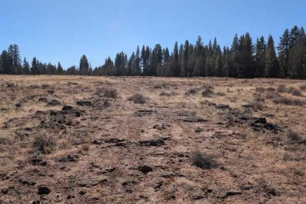
FS 43N77Y
This short connecting route runs between two main arterial roads and crosses a rocky open field along the way. The surface is consistently uneven, with rocks scattered throughout, making for a very bumpy ride. Expect plenty of shaking and bouncing as you cross the field, so take it slow and be ready...
Learn more about FS 43N77Y
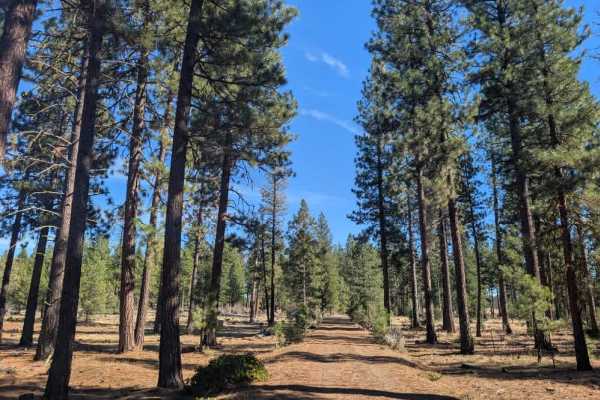
FS 43N75
This route starts out fairly smooth before becoming increasingly rocky as it crosses an open plain near the reservoir. The road eventually splits to the left and continues through a mix of open terrain and forest. Surface conditions vary along the way, with rough, rocky sections giving way to softer...
Learn more about FS 43N75
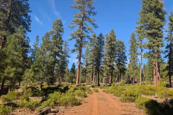
FS 43N36G
This relatively long trail begins at a closed gate and follows a fairly well-maintained road down toward the reservoir. The surface is rocky throughout, which is common in this part of the Modoc National Forest, but a covering of pine needles helps soften the ride and makes the terrain a little easi...
Learn more about FS 43N36G
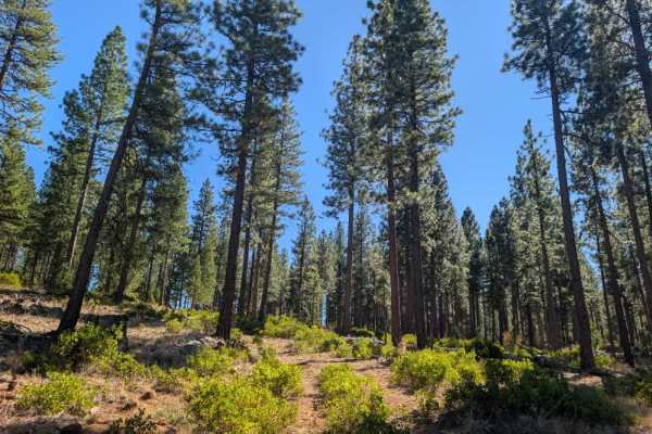
FS 43N36H
This trail climbs gradually into a heavily forested area, where rocky ground, thick undergrowth, and numerous fallen trees make for an interesting but somewhat uncomfortable drive. The forest is quite messy, with plenty of downed timber and debris scattered across the route, much of which appears no...
Learn more about FS 43N36H
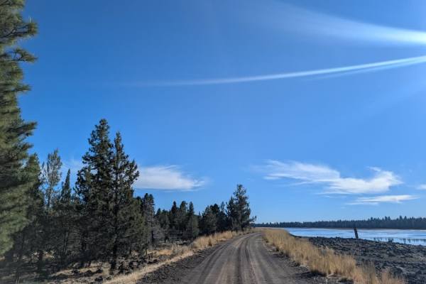
FS 43N36
This well-maintained road serves as the main route through the area, with numerous side roads and smaller trails branching off along the way. It also provides access to Reservoir F Campground, making it a useful starting point for exploring the surrounding forest and nearby routes. The road is gener...
Learn more about FS 43N36
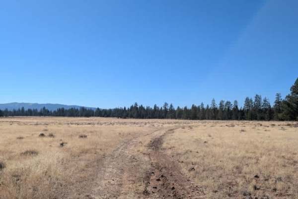
FS 42N77E
This spur trail branches off the FS 42N77 main route, an in-and-out road that connects back to the main FS 42N60. It winds through an area of dry vegetation and scattered rocky terrain before reaching a former logging area at the end. The clearing is relatively flat and open, making it a suitable sp...
Learn more about FS 42N77E
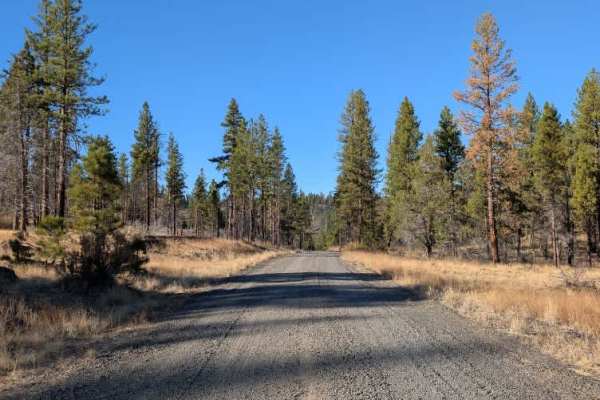
FS 42N21
This trail is mostly straightforward, but a couple of sections require a little extra care. A small stream crossing runs along the route, so take it slowly and assess the water before driving through. The surface also changes in places, particularly around the switchbacks, where loose or uneven mate...
Learn more about FS 42N21
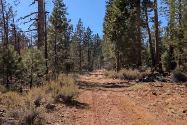
FS 42N77
This trail branches off FS 42N60 route and winds through a mix of forest and open fields. The surrounding terrain is fairly dry and rocky, with some uneven, off-camber sections and a few minor rock ledges along the way. A simple chicken-wire gate must be passed through, so be sure to open the fence ...
Learn more about FS 42N77
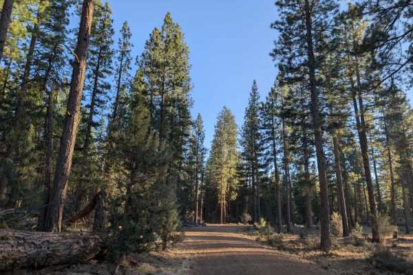
FS 44N12 South
This trail branches off FS 43N36, a very good road, and is an easy route to follow when approaching from the south. It winds through a lush, green forest with plenty of open areas to pull over or park. A small water reservoir sits alongside the route, and several spots may be suitable for dispersed ...
Learn more about FS 44N12 South
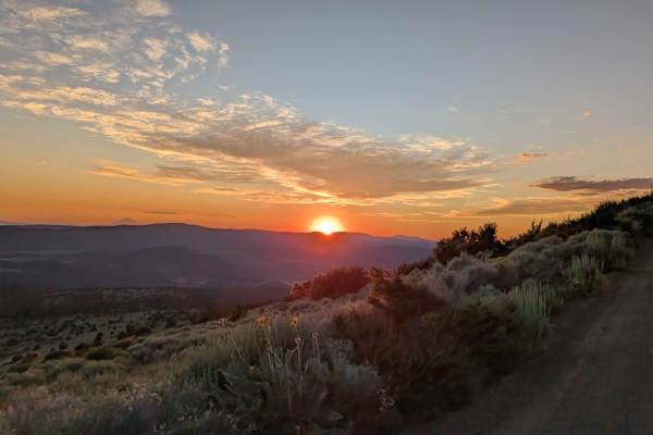
Mount Lively South Fork Mountain Road
This trail begins just off Highway 395 south of the village of Likely, starting on BLM land before transitioning in and out of Modoc National Forest. The first stretch is a recently graded dirt road with scattered loose and embedded rocks, surrounded by sagebrush and stands of pine. After about thre...
Learn more about Mount Lively South Fork Mountain Road
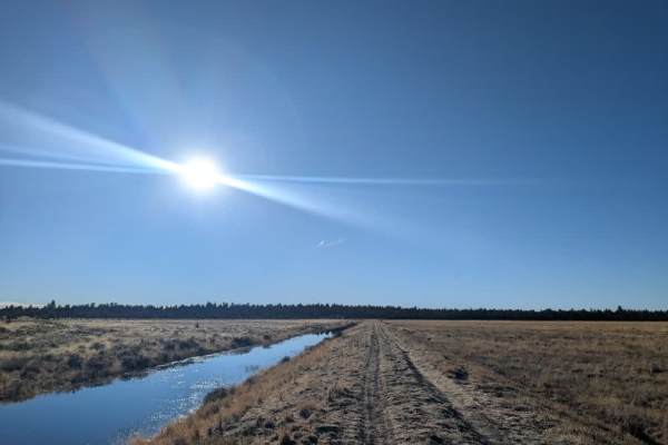
FS 44N33A
This road crosses a marshland area and appears to be the only access route to FS 44N12. Although the map directs drivers to continue along FS 43N18 to reach the connecting road, that route actually ends at a cattle area where a turnaround is required. This makes the marshland road the only practical...
Learn more about FS 44N33A
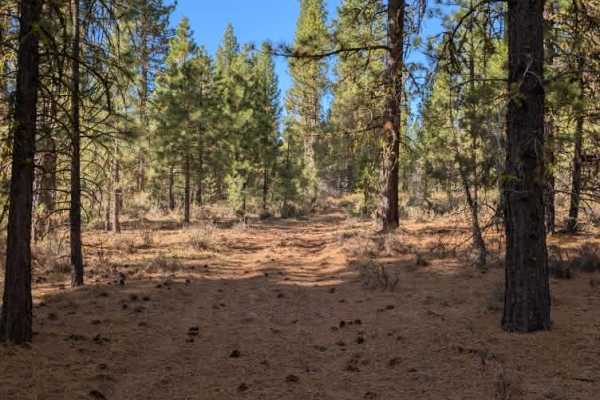
FS 43N93
This short, wooded trail provides a connection to FS 43A83A, although the route is not in the best condition. A fallen tree blocks the original track, but a cleared bypass allows you to continue around the obstruction. The trail winds through the trees before opening into a small clearing near the e...
Learn more about FS 43N93
Beginner ATV trails near California Pines, California
Explore ATV-friendly trails near you. These trails are accessible for vehicles up to 50 inches wide, perfect for ATVs and smaller off-road machines.
FS 42N06A
This well-maintained black gravel road offers an easy, pleasant drive to a limited-service campsite right along the reservoir. The surface is generally smooth and in good condition, making it accessible without any significant challenges. The campsite has a restroom, which is a nice bonus for anyone...
Learn more about FS 42N06A
FS 44N33
This well-maintained road begins near Reservoir F Campground and follows a beautiful route through the Fairchild Swamp area. Much of the drive runs alongside the wetlands, where a variety of birdlife can be spotted, including ospreys, bald eagles, turkeys, and geese. The area is especially interesti...
Learn more about FS 44N33
FS 43N36B
This short, beautiful road winds through the forest and leads to a lovely campground near the reservoir. Along one section, there are approximately six campsites with picnic tables, making these the best spots to set up camp. The road continues through a tighter stand of trees before reaching its en...
Learn more about FS 43N36B
FS 43T75EB
This route begins as a relatively pleasant drive off the main road, but conditions gradually deteriorate as the trail becomes increasingly rocky and cluttered with fallen trees and forest debris. Drivers will need to weave around numerous obstacles, with several alternate paths already worn in by Sx...
Learn more about FS 43T75EB
Beginner UTV/side-by-side trails near California Pines, California
Find UTV and side-by-side trails near you. These trails accommodate vehicles up to 60 inches wide, ideal for UTVs, side-by-sides, and wider off-road rigs.
FS 42N06A
This well-maintained black gravel road offers an easy, pleasant drive to a limited-service campsite right along the reservoir. The surface is generally smooth and in good condition, making it accessible without any significant challenges. The campsite has a restroom, which is a nice bonus for anyone...
Learn more about FS 42N06A
FS 44N33
This well-maintained road begins near Reservoir F Campground and follows a beautiful route through the Fairchild Swamp area. Much of the drive runs alongside the wetlands, where a variety of birdlife can be spotted, including ospreys, bald eagles, turkeys, and geese. The area is especially interesti...
Learn more about FS 44N33
FS 43N36B
This short, beautiful road winds through the forest and leads to a lovely campground near the reservoir. Along one section, there are approximately six campsites with picnic tables, making these the best spots to set up camp. The road continues through a tighter stand of trees before reaching its en...
Learn more about FS 43N36B
FS 43T75EB
This route begins as a relatively pleasant drive off the main road, but conditions gradually deteriorate as the trail becomes increasingly rocky and cluttered with fallen trees and forest debris. Drivers will need to weave around numerous obstacles, with several alternate paths already worn in by Sx...
Learn more about FS 43T75EB
The onX Offroad Difference
onX Offroad combines trail photos, descriptions, difficulty ratings, width restrictions, seasonality, and more in a user-friendly interface. Available on all devices, with offline access and full compatibility with CarPlay and Android Auto. Discover what you're missing today!
Open Trail Map