Trail Overview
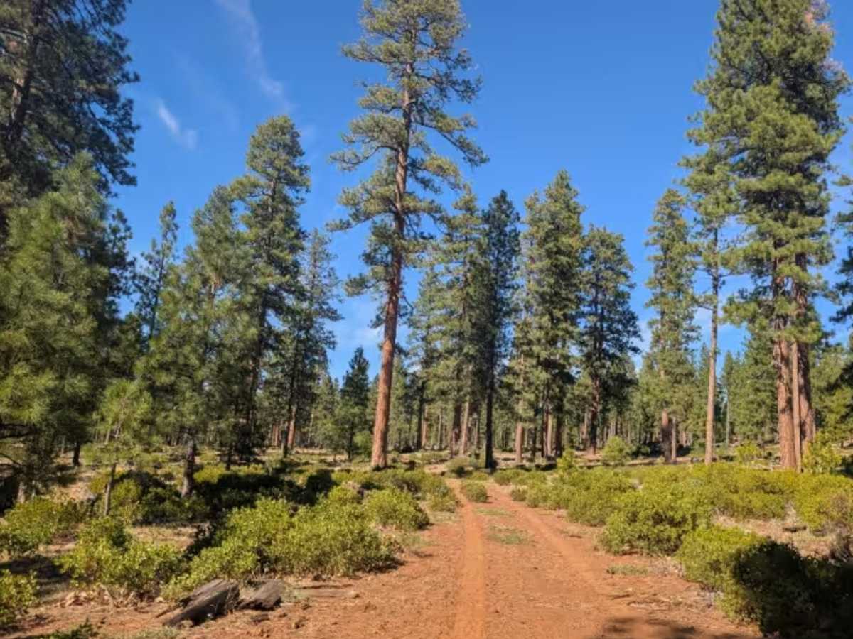
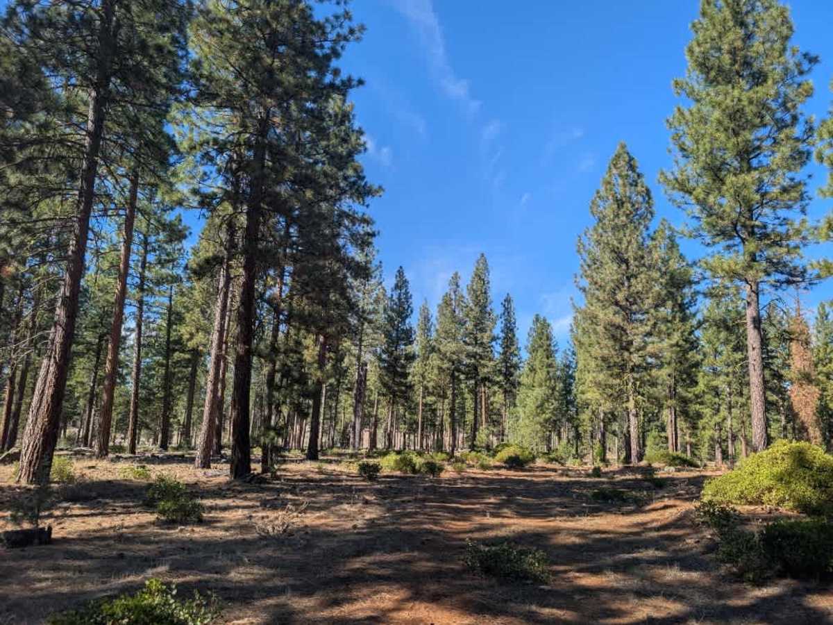
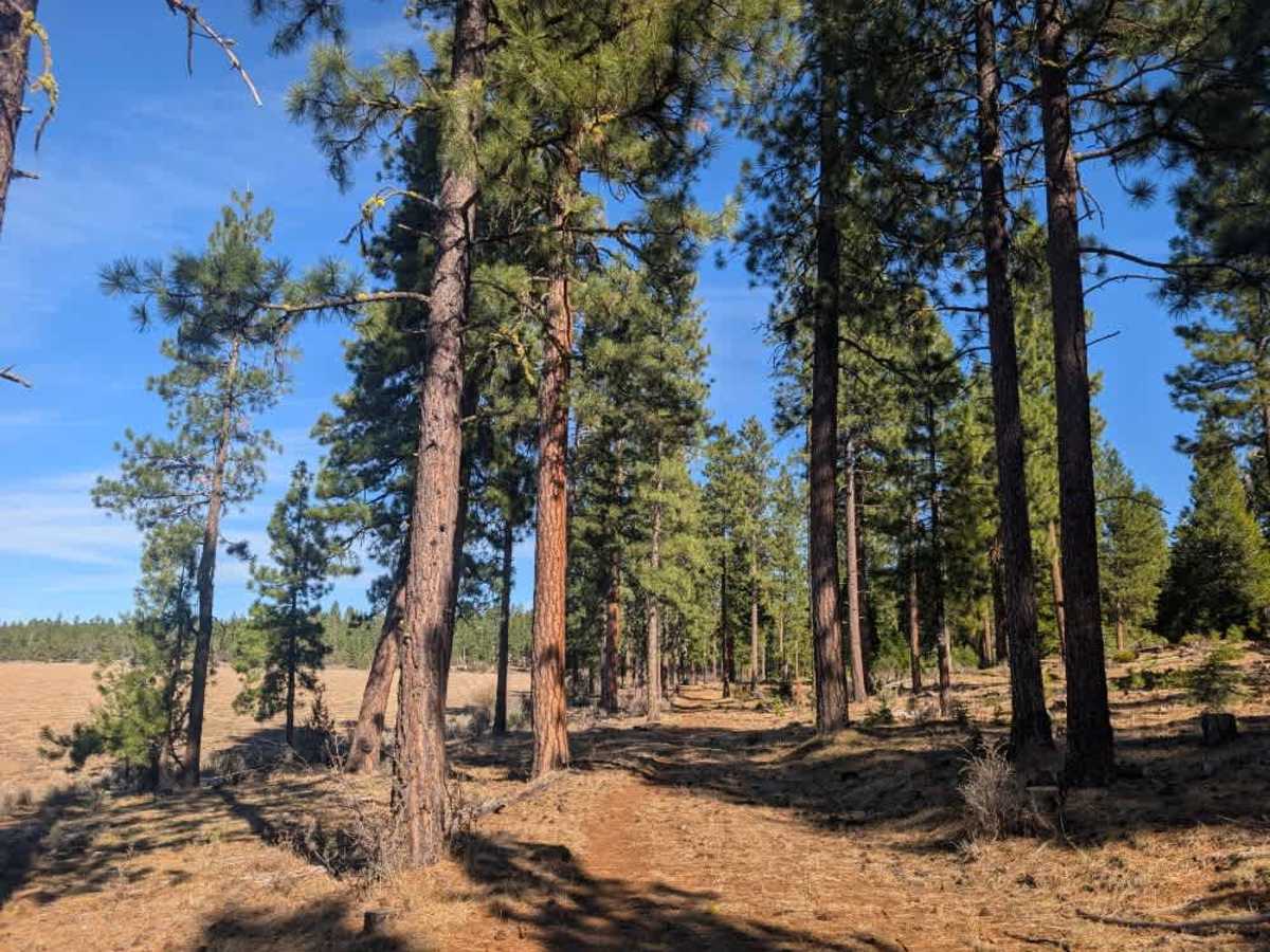
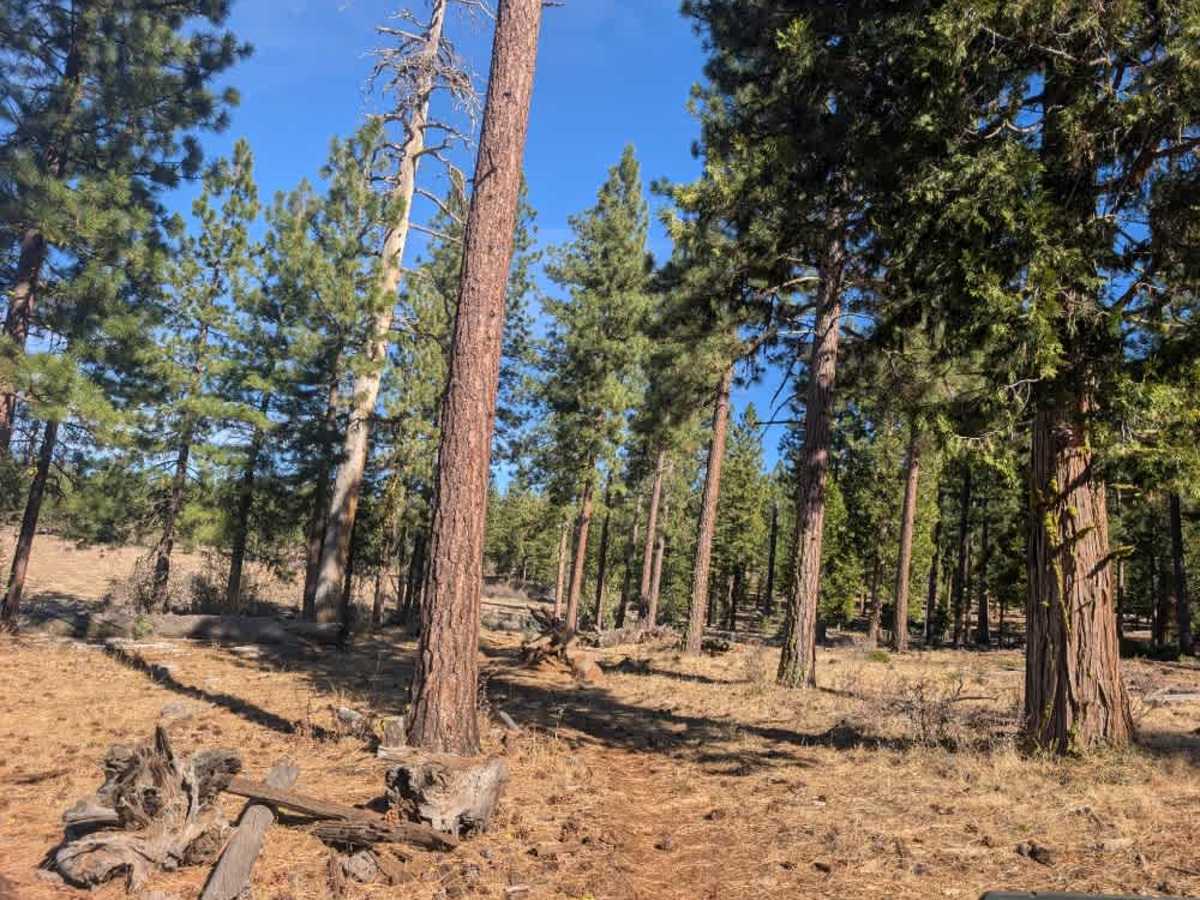
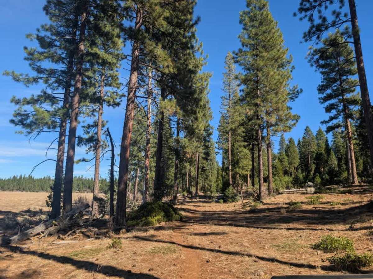
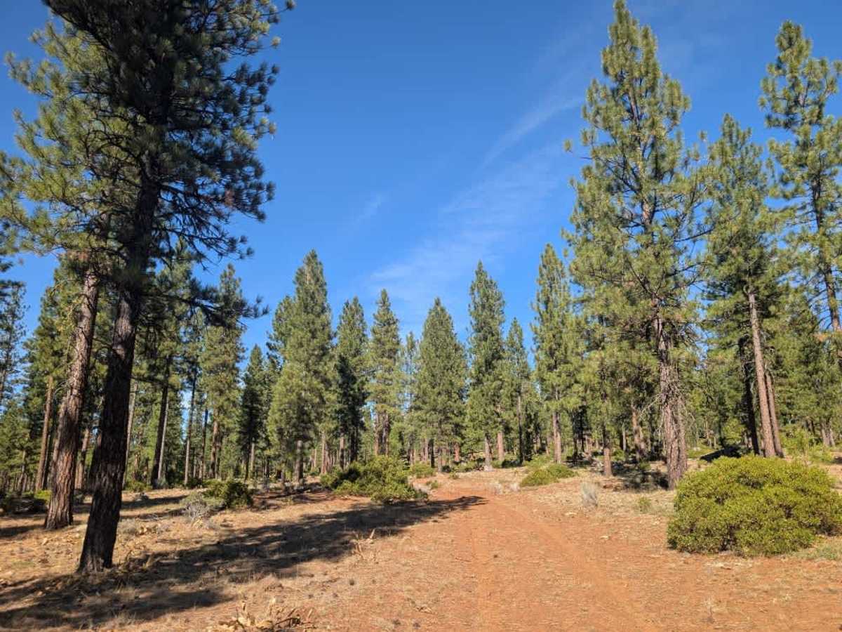
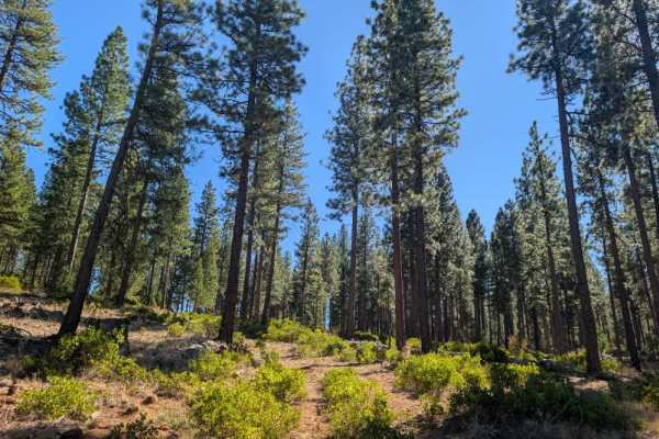
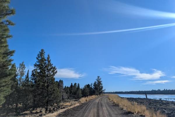
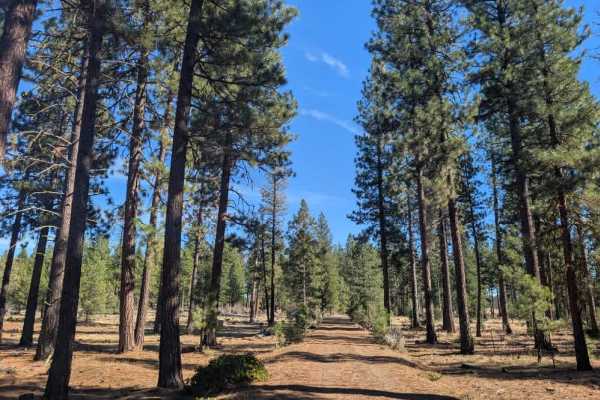
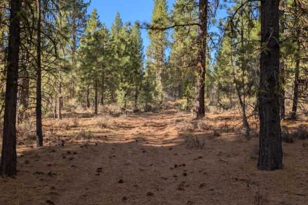
This relatively long trail begins at a closed gate and follows a fairly well-maintained road down toward the reservoir. The surface is rocky throughout, which is common in this part of the Modoc National Forest, but a covering of pine needles helps soften the ride and makes the terrain a little easier on tires and suspension. Most of the trees along the route have been cleared, and the drive is generally straightforward. As of mid-October 2026, the reservoir has very little water, with only one small patch remaining, but there are a few places along the shoreline where you can pull over or potentially set up a dispersed campsite. Farther along, the road narrows into a single-track route that may be intended for hiking, cycling, or horseback riding, though its designation is unclear on the available maps. The area has some birdlife, and deer were also spotted. Hunters should check with the local Forest Service office or a ranger before visiting, as hunting regulations, permitted areas, and licensing requirements can vary. ATVs, UTVs, Side-by-Sides, and Dirt Bikes must always have a valid California ATV Operating Permit sticker.